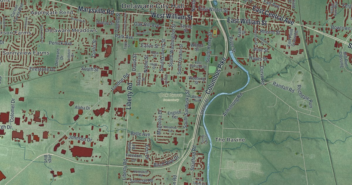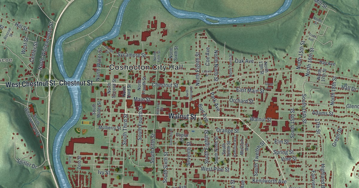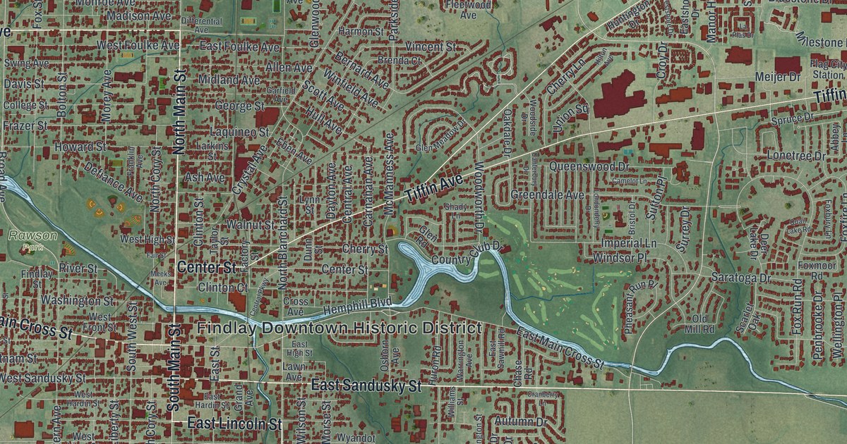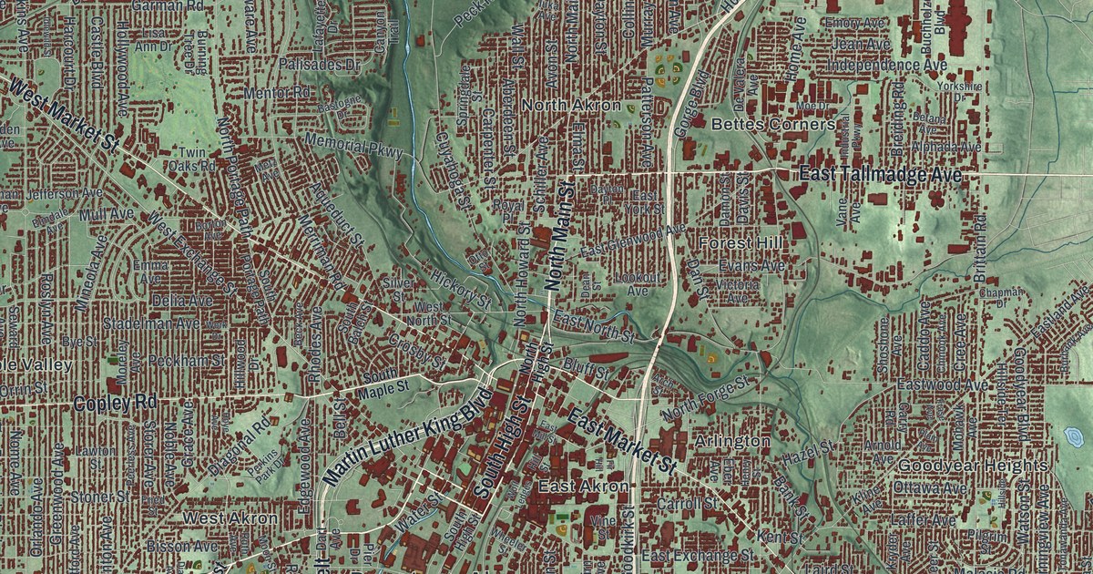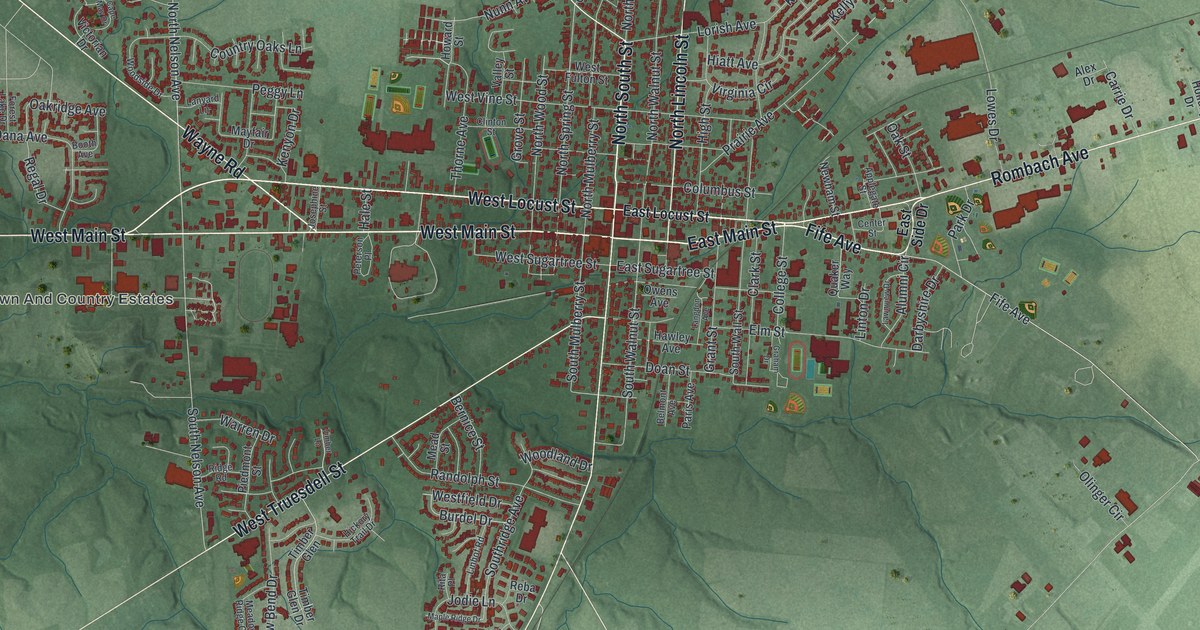
If you grew up in Wilmington, studied at Wilmington College or still have family in Clinton County, this map gives you plenty to find. It's a modern aerial view of Wilmington in Clinton County, Ohio, made from modern data with a vintage artistic feel. The town's red buildings crowd around downtown, where West Main Street and East Main Street meet North South Street. Neighborhoods spread out along the roads from there. Long gray runways and large buildings fill the right side. Blue creeks cross the green hills around town.
West Main Street, Fife Avenue and Airborne Road
Downtown, West Main Street and East Main Street meet North South Street, with North Lincoln Street, College Street, West Locust Street and Quaker Way close by, and Town And Country Estates just to the west. Fife Avenue and Xenia Avenue run through the north side of town. Wayne Road sits up in the top left, and Rombach Avenue and Progress Way sit up in the top right. Airborne Road runs down the right side of the sheet, and Burtonville sits at the bottom of the map. Each red shape is a building, so zoom in on the preview and look for yours.
How Quakers started Wilmington College in 1870
Clinton County was once called the "Quaker County of Ohio." Quaker families came here from the Carolinas and eastern Ohio. They were drawn by good soil and plenty of fresh springs. In August 1870, members of the Society of Friends bought an unfinished building and 14 acres at an auction. That became Wilmington College, the first Quaker college started in Ohio. Classes began in April 1871, in the same building now called College Hall. The Ohio historical marker that tells this story stands at the corner of College Street and Fife Avenue.
The college had another big day after World War II. The G.I. Bill brought so many students that enrollment doubled, and the men needed a place to live. On April 13, 1948, college president Samuel Marble called a student rally. He shared a plan to build a men's dorm entirely with volunteer work and donated materials. They broke ground that same day. Teachers, students and people from town built it together. It was named Marble Hall and dedicated on October 27, 1950. To find the college area on the map, look for Quaker Way just off Fife Avenue.
A gift for Wilmington College grads and Clinton County families
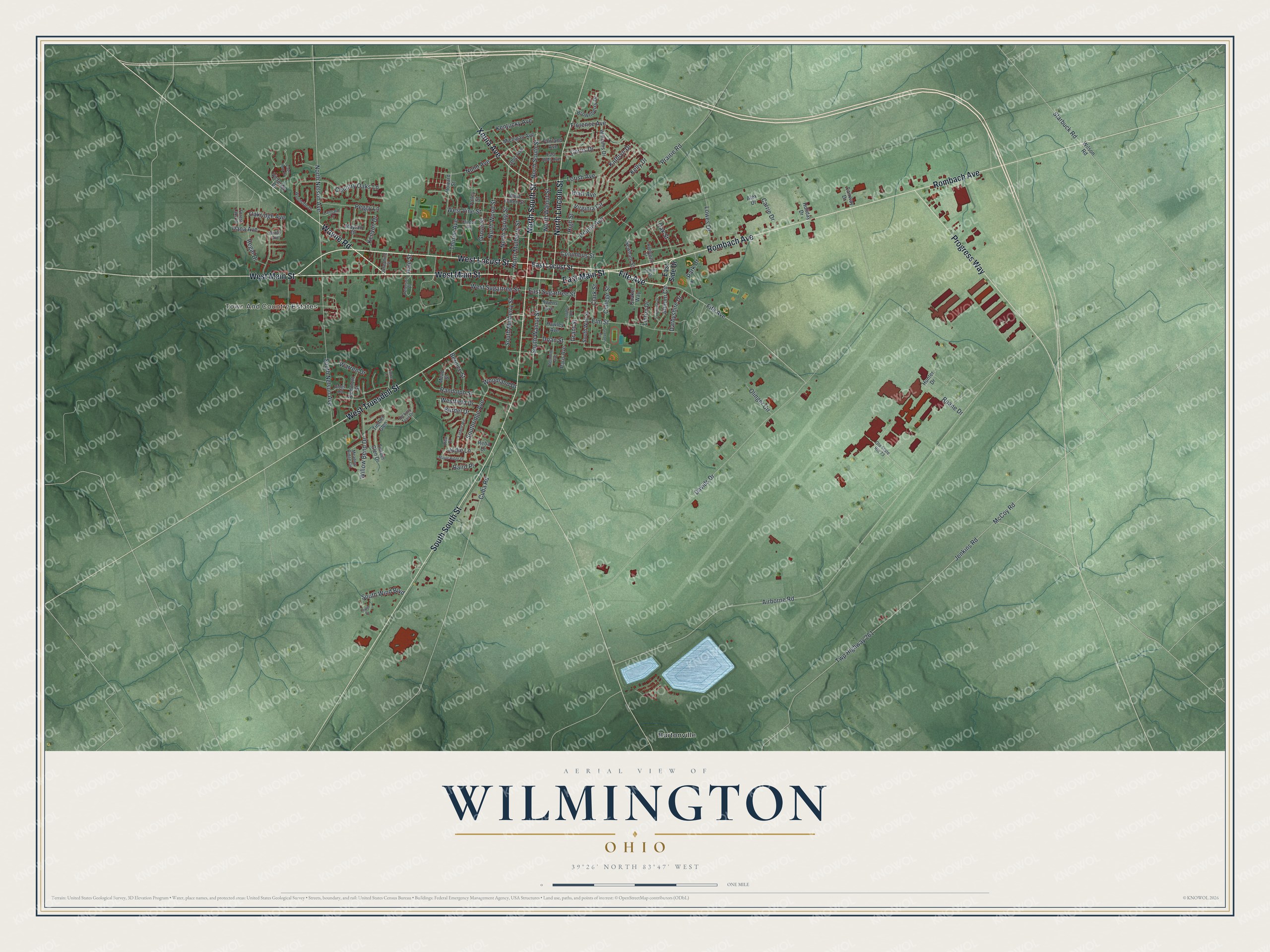
Created by KNOWOL in 2026, this map of Wilmington shows the town among soft green hills, with its buildings in deep red and the creeks in thin blue lines. The hill shading comes from USGS elevation data. The title panel reads "Aerial View of Wilmington, Ohio," with the coordinates 39°26' North, 83°47' West and a one-mile scale bar.
It fits an office, a den or a family room, and it looks right in a first apartment after graduation too. It's a thoughtful gift for a Wilmington College graduate, someone who grew up near the courthouse on South Street, or family who moved away from Clinton County. Open the preview, zoom in and find the streets you know. See sizes and frames for the Wilmington map.