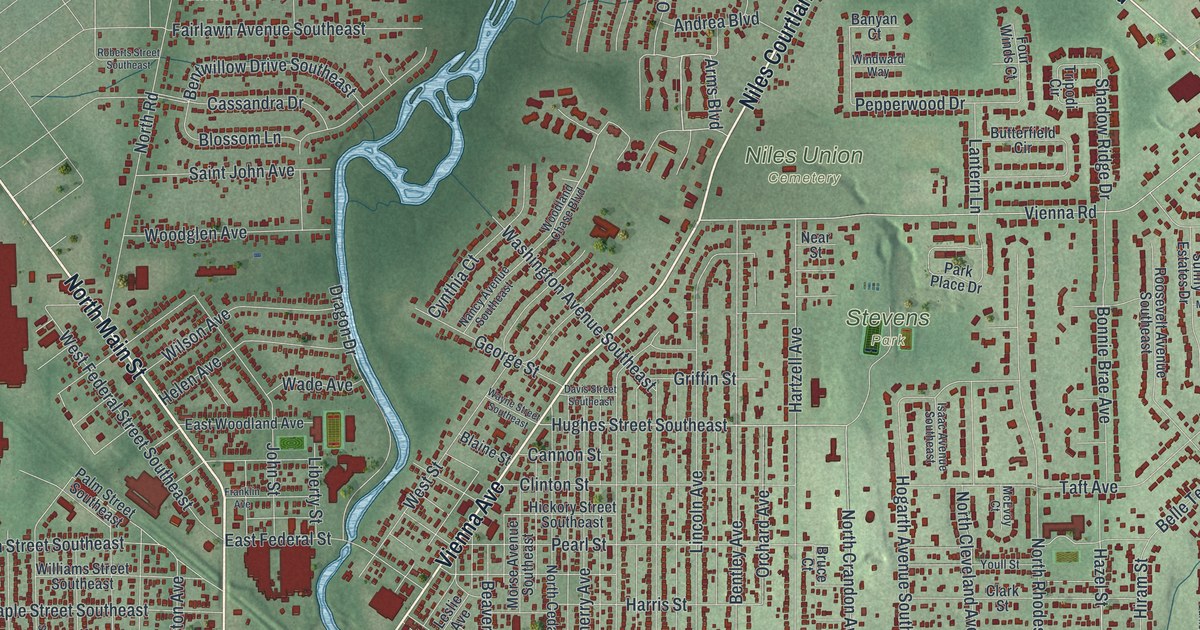
If you grew up in Niles, live near Robbins Avenue, or still have family close to Stevens Park, this map gives you plenty to find. It's a modern aerial view of Niles in Trumbull County, Ohio, made from modern data and given a vintage look. A wide blue river bends across the lower half of the sheet, and a creek winds down from the top to meet it. More than 16,000 buildings are drawn in deep red on soft green ground. The view reaches from Ekerts Corners at the top to South Niles and Lake Park Estates near the bottom left.
The president born on South Main Street
On this map you'll find North Main Street, South Main Street, Robbins Avenue, Vienna Avenue, Youngstown Warren Road, Niles Vienna Road, Warren Avenue, Belmont Avenue, Lincoln Avenue, Salt Springs Road, Trumbull Avenue, Niles Union Cemetery, Stevens Park, Waddell Park, Hakes Corners, and more. Each red shape is a building, so zoom in on the preview and look for yours.
William McKinley was born in Niles in 1843. His family's house stood on South Main Street, where a historical marker now stands at number 36. That house was later moved from the site and was lost to fire. The McKinleys stayed in Niles until 1852. Then they moved to Poland, Ohio, so William could attend the Poland Seminary. When the Civil War came, he joined the 23rd Ohio Volunteer Infantry and rose to major. After the war he settled in Canton and practiced law. He went to Congress in 1876. He was one of seven native Ohioans to serve as president of the United States.
The McKinley Memorial on North Main Street
The McKinley Memorial stands at 40 North Main Street, a short way up the street from the birthplace marker. The National Register of Historic Places listed it in 1975. To find both spots on the map, look near the middle of the sheet, where Robbins Avenue is printed just left of the creek. North Main Street runs up from there, and South Main Street runs down toward South Niles. Those downtown blocks started with James Heaton. He platted 54 lots there in 1834 and named the settlement Nilestown. His own marker at 1 South Main Street says he built a log cabin on Vienna Avenue in 1806 and made the first bar iron in Ohio in 1809.
For anyone who grew up between Waddell Park and Hakes Corners
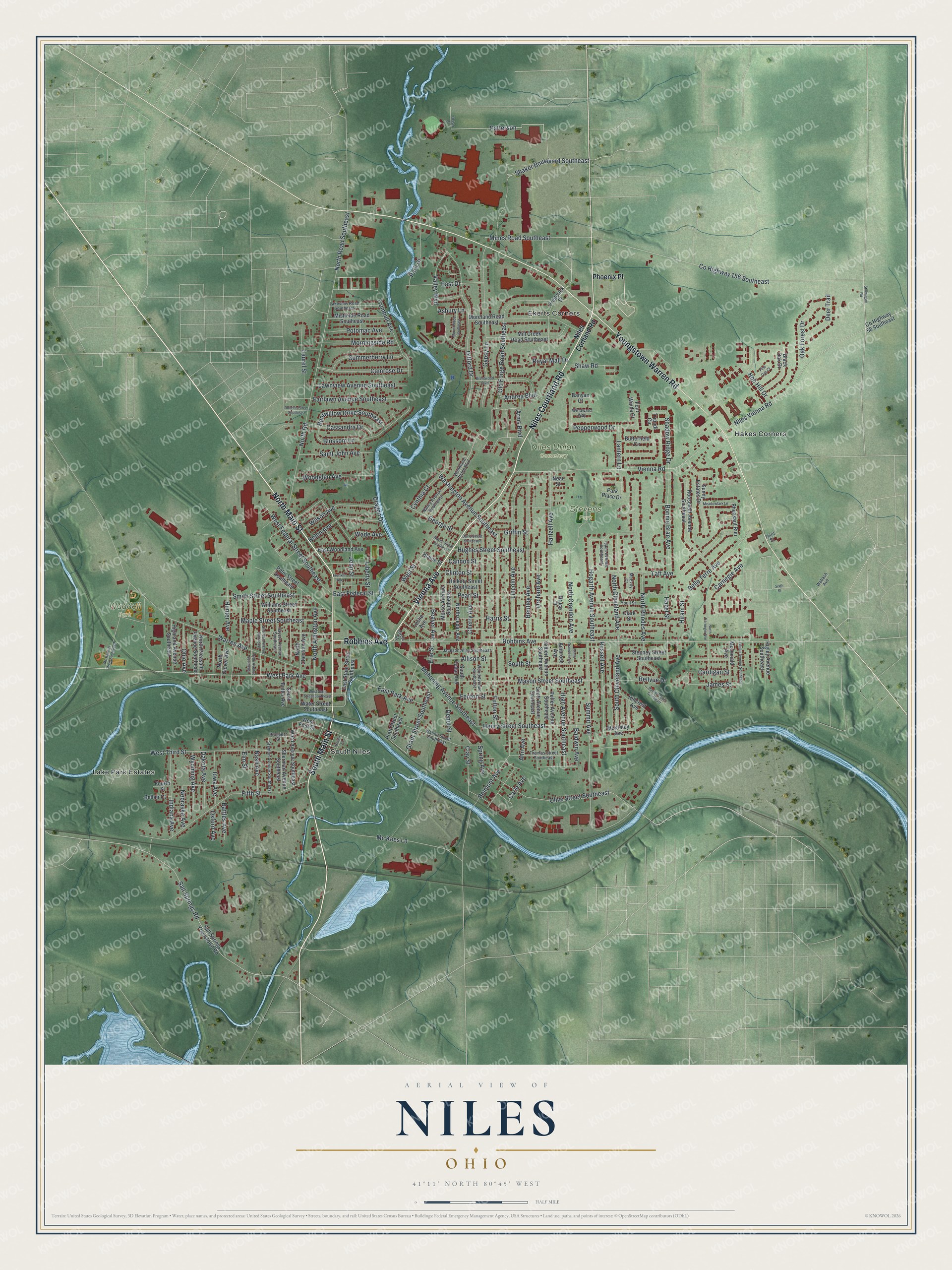
Created by KNOWOL in 2026, this Niles map shows the town in deep red on soft green ground, with the river and creek in pale blue. The hill shading comes from USGS elevation data, and the streets come from Census Bureau records. The title panel reads "Aerial View of Niles, Ohio," with 41°11' North 80°45' West and a half-mile scale bar.
It suits a den, a kitchen or an office wall. It's a good gift for someone who grew up near Stevens Park, moved away for work, or still has family along Robbins Avenue. Open the preview, zoom in on North Main Street and find a block you know. See sizes and frames for the Niles map.