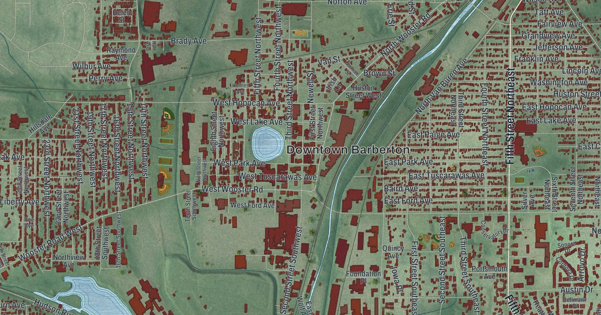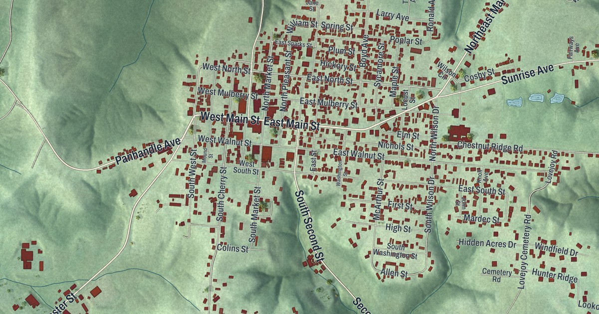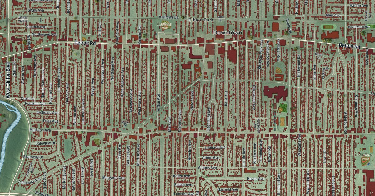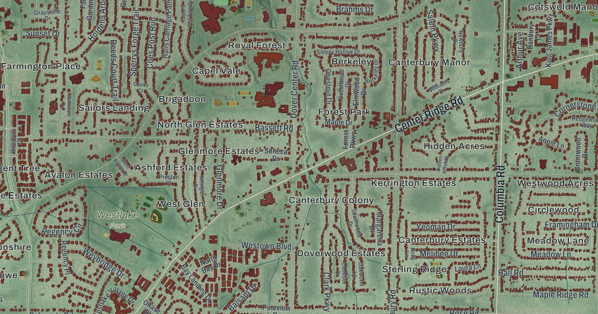
If you grew up in Westlake, went to Westlake High School, or still drive Detroit Road and Center Ridge Road, this map has plenty for you to find. It's a modern aerial view of Westlake in Cuyahoga County, Ohio, made from modern data and given a vintage artistic feel. The land is shaded in soft green, and the buildings are drawn in deep red. Blue water runs along the top edge, and a winding river curls through the bottom right corner. In between, dozens of neighborhood names are printed, from The Glens in the west to Hunters Point in the east.
Dover Center Road, Hilliard Boulevard and Center Ridge Road
On this map you'll find Detroit Road, Center Ridge Road, Dover Center Road, Hilliard Boulevard, Columbia Road, Clague Road, Crocker Road, Bradley Road, Porter Road, Westlake City Hall, Clague Park, Westlake Park, Dover Bay Estates, Royal Forest, and more. Each red shape is a building, so zoom in on the preview and look for yours.
Find the corner where Porter Road meets Center Ridge Road. In 1814, Leverett Johnson built a log house at that corner for his bride, Abigail Cahoon. An Ohio marker calls him Westlake's first settler. Porter Road Tracks is printed near that same corner.
How the Clague farm became Clague Park
Robert Clague first came to Dover Township, now Westlake, from the Isle of Man in 1829. He went back home for a short time. In 1837 he came back to Dover with his wife and their baby. The couple raised nine children on a 78-acre farm. The Italianate house that stands there now was built in 1876. It was the third home built on the land. In 1926, the surviving children, Walter and Sophronia, gave the farm to Dover Township for Clague Memorial Park. That story is told on the Ohio historical marker at the house.
On the map, Clague Park sits near the top right, beside Clague Road and just above Hilliard Boulevard. The Clague House and barn now hold a museum, a history library and a community theater. Another marker in the park honors Robert Overmyer, a Marine pilot who always called Westlake his hometown. He graduated from Westlake High School in 1954. In 1966 he was chosen as an astronaut.
For anyone who grew up off Detroit Road
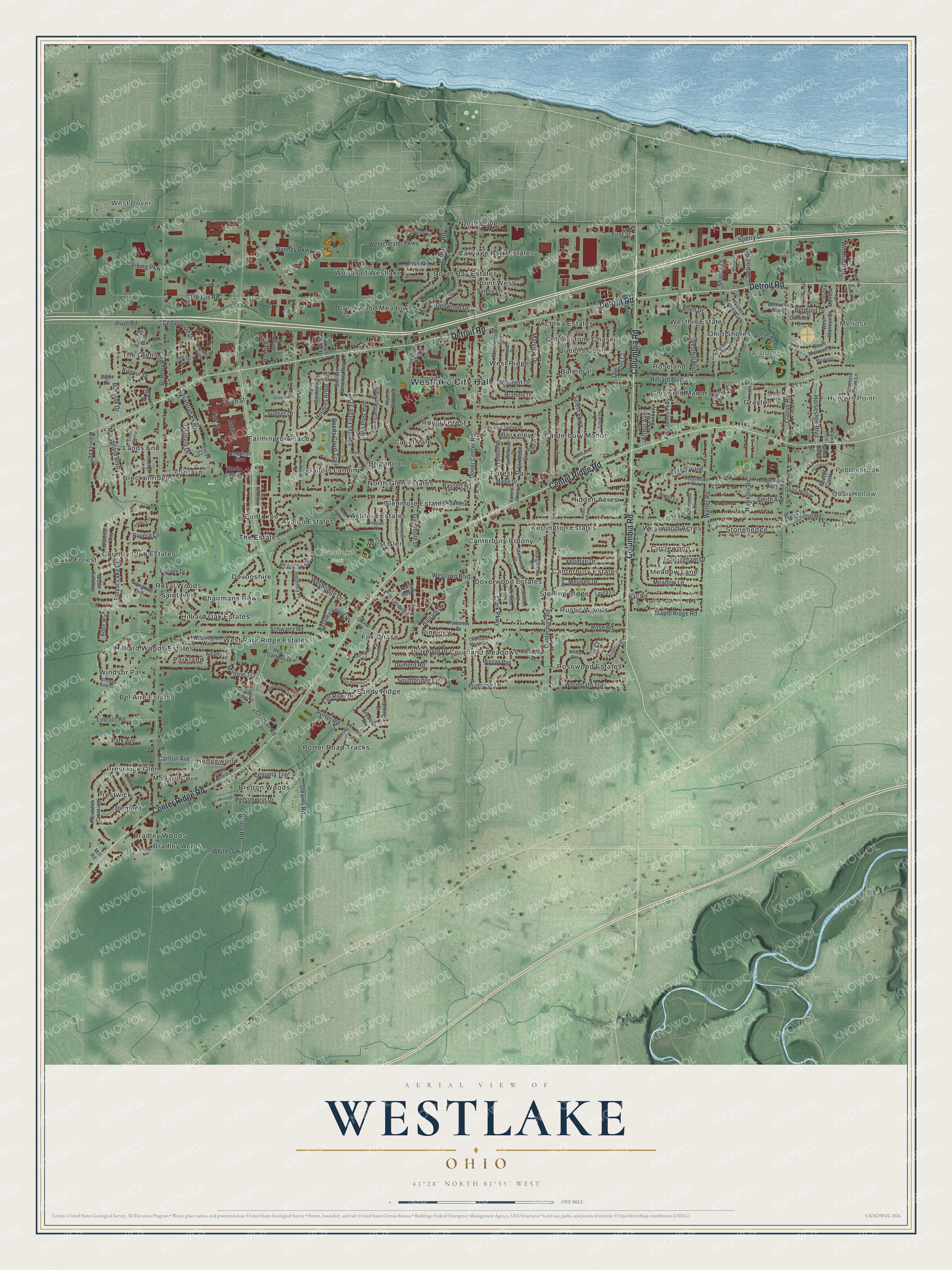
Created by KNOWOL in 2026, this Westlake map suits a living room, a home office or a family room. The map shows shaded green land, red buildings and roads traced from Census Bureau road centerlines. The title panel reads "Aerial View of Westlake, Ohio" with 41°28' North 81°55' West and a one-mile scale bar.
It's a thoughtful gift for a Westlake High School graduate who moved away, or for anyone who grew up near Clague Park. Open the preview, zoom in and find the street you know. See sizes and frames for the Westlake map.