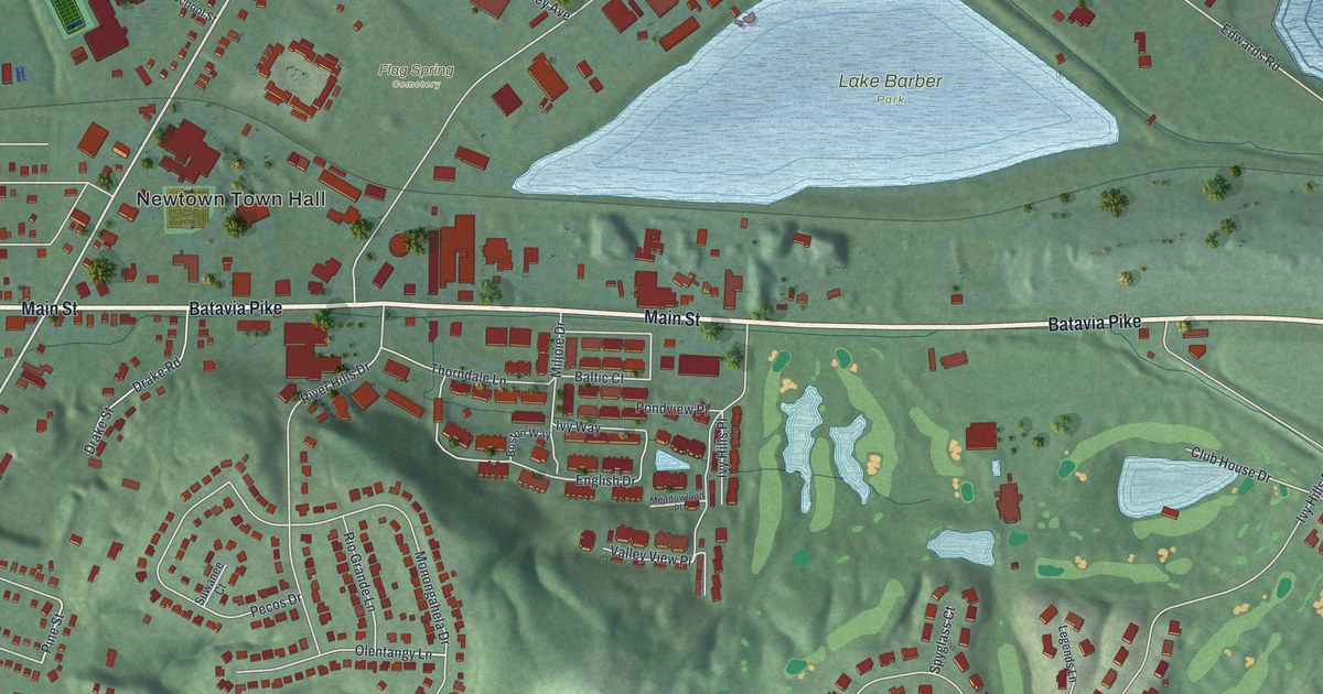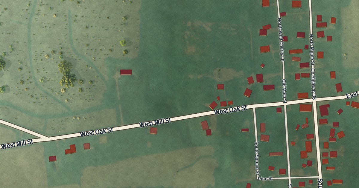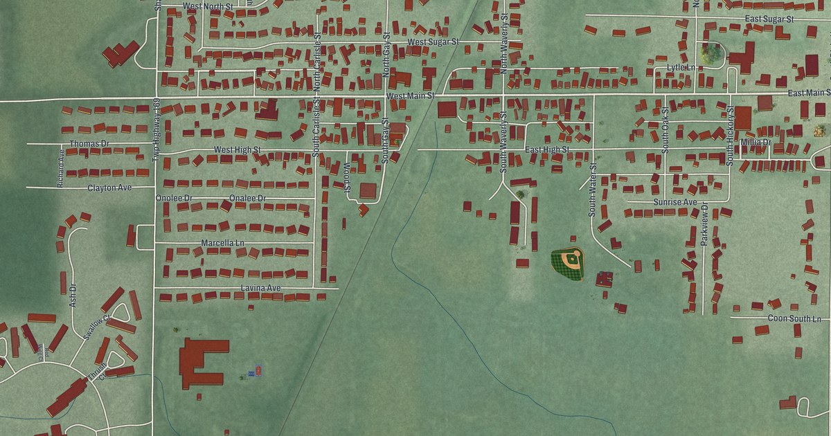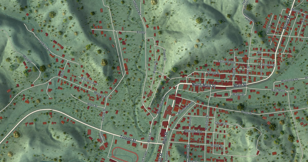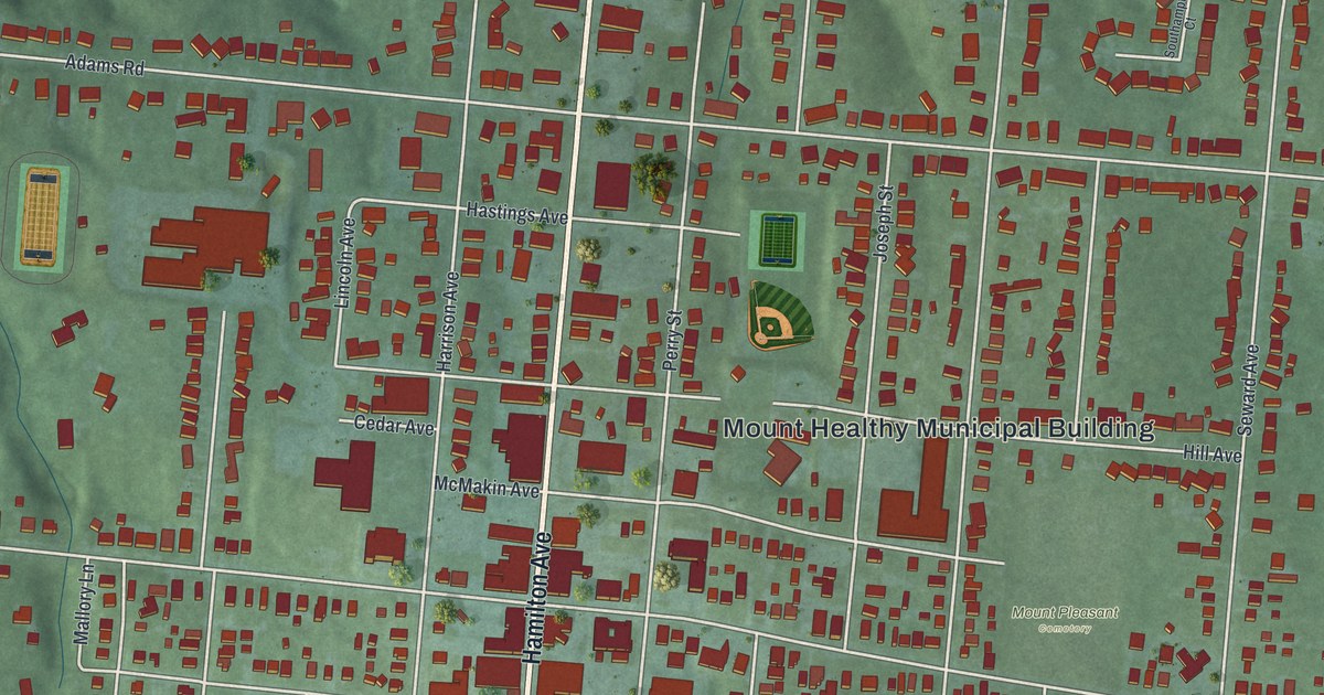
If you grew up on a street off Hamilton Avenue, or your family still lives in Mount Healthy, this map is a piece of home. It's a new aerial view of Mount Healthy in Hamilton County, Ohio, made from modern data and given a vintage look. Hamilton Avenue runs straight down the middle of the sheet. Thousands of small red buildings fill the blocks on both sides, with ball fields, green hills and a wide highway curving across the bottom.
The Trail Behind Hamilton Road
On this map you'll find Hamilton Avenue, Compton Road, Adams Road, McMakin Avenue, Harrison Avenue, Perry Street, Elizabeth Street, Clovernook Avenue, Madison Avenue, Kinney Avenue, Lynnview, Heritage Park, Mount Pleasant Cemetery, the Mount Healthy Municipal Building, and more. Each red shape is a building, so zoom in on the preview and look for yours.
The Main Theatre stands at 7428 Hamilton Avenue, and its National Register papers start with the story of an old road. Fort Hamilton, now the city of Hamilton, was the first fort built north of Fort Washington in Native American territory. A Native American military foot trail ran between the two forts. In time it became known as Hamilton Road. That's how the National Register papers for the Main Theatre tell it. It was added to the National Register in 2017.
The same papers describe the theater as a two-story building. It held wide storefront offices and a theater space on the first floor, with a large apartment upstairs. They say the town's shopping district still keeps that old pattern. Stores sit on the first floor, with homes or offices above. On the map, look for the thick cluster of red buildings along Hamilton Avenue near McMakin Avenue.
The Church That Began at Mt. Pleasant
Mount Healthy also has a church that dates to 1839. A Remarkable Ohio marker says the Mt. Healthy Christian Church started as the Church of Christ at Mt. Pleasant. Its founding pastor was David S. Burnet. The marker stands at the Mt. Healthy Historical Society on McMakin Avenue.
Mount Healthy, From Adams Road to Heritage Park
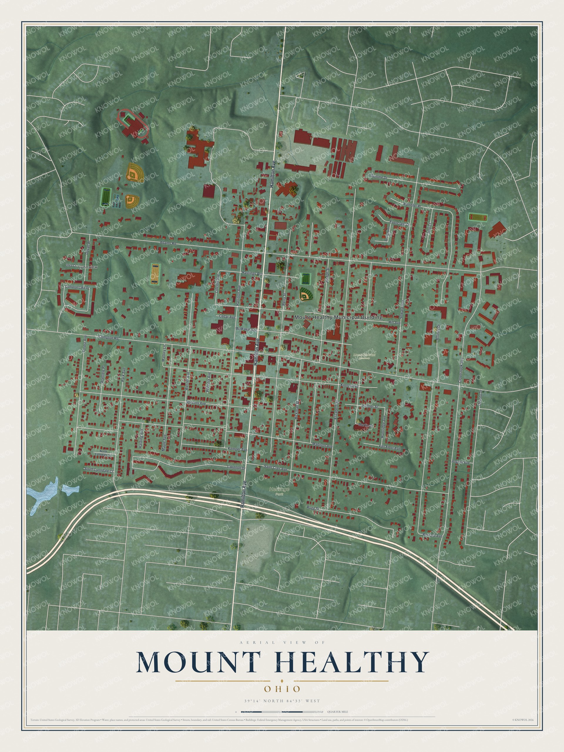
Created by KNOWOL in 2026, this print shows Mount Healthy in soft greens with shaded hills, pale roads and red buildings, with small blue ponds near the lower left. The title panel reads "Aerial View of Mount Healthy, Ohio" with the coordinates 39°14' North 84°33' West.
It fits a living room, a hallway or a home office. It's a good gift for anyone who grew up near Heritage Park or Mount Pleasant Cemetery, and for family who moved away but still call Mount Healthy home. Open the preview and find your street. See sizes and frames for the Mount Healthy map.