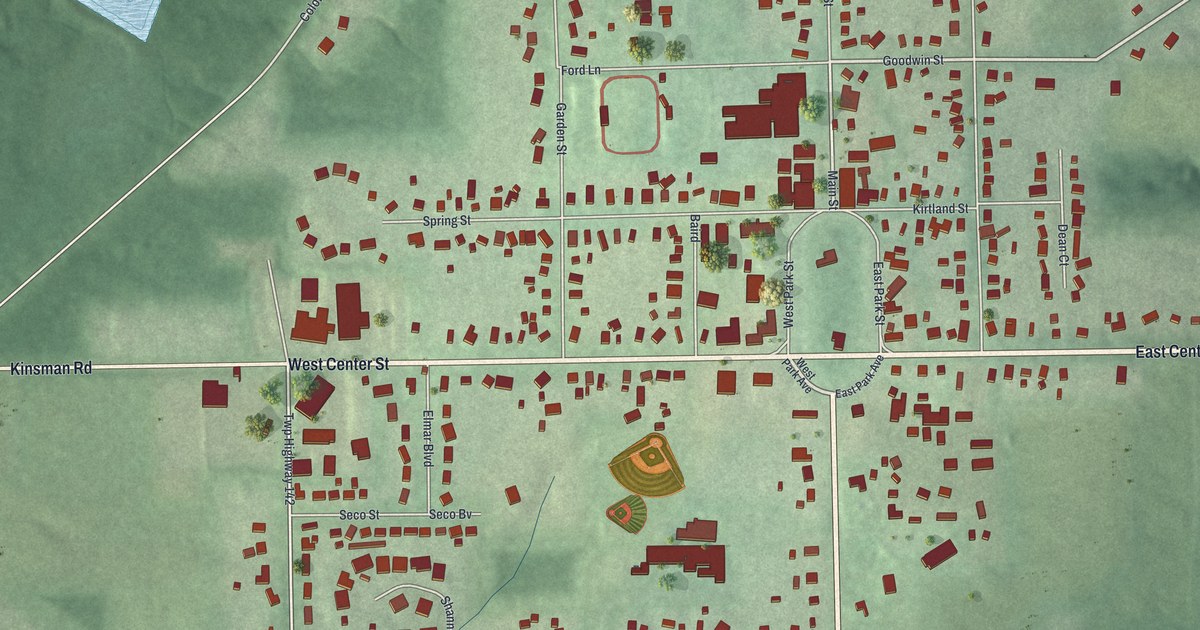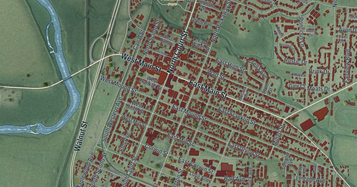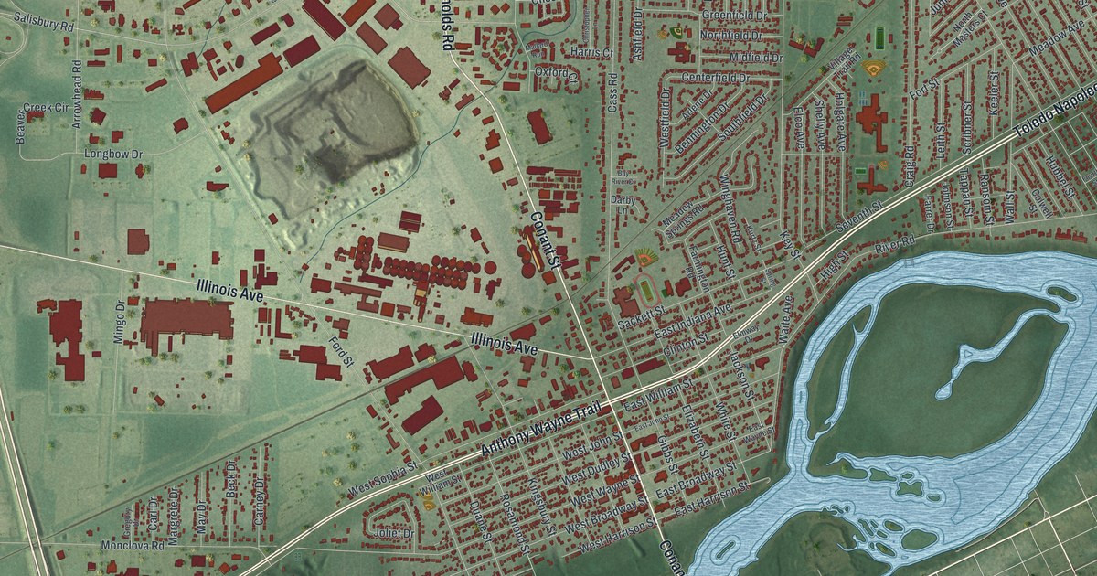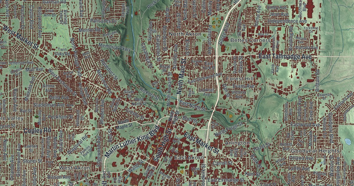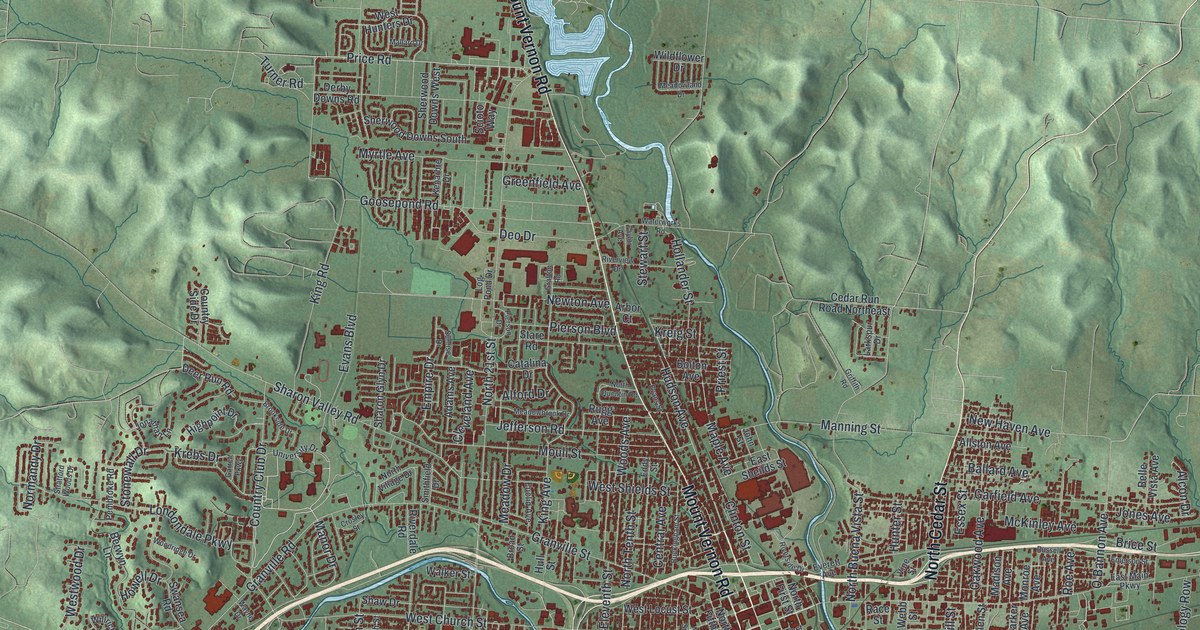
If you grew up in Newark, walked downtown along West Main Street, or still have family off Mount Vernon Road, this map gives you plenty to find. It's a modern aerial view of Newark in Licking County, Ohio, made from modern data with a vintage artistic feel. The city fills the middle of the sheet, with nearly 30,000 buildings drawn in deep red. Blue water winds through town and out toward a wide lake at the right edge. Green shaded hills fold in on every side. Explore the print options for Newark.
From the Newark Municipal Building up Mount Vernon Road
Start at the Newark Municipal Building, printed just below the middle of the sheet. West Main Street and East Main Street run through downtown here. Just south, Edwards Field is printed near Ohio Street. Now head west on Granville Street. It leaves downtown and meets Granville Road. Keep west on Granville Road to Country Club Drive, with Londondale Parkway just north of that corner. Go back to downtown and follow Mount Vernon Road north. It crosses Moull Street, then Jefferson Road, Stare Road and Pierson Boulevard as it climbs the sheet. Near the top, you'll find Gregory Drive. To the east, Co Highway 585 runs out past Swans toward that lake, which isn't labeled. The river through town isn't labeled either. Many of the roads are, and each red shape is a building, so zoom in on the preview and look for yours.
How Heisey glass was made in Newark from 1896
For about sixty years, Newark made glass that people still collect. A.H. Heisey & Co. started making glass here in 1896. Its pressed glass was made to look like cut glass. That put elegant glass within reach of more families. Skilled workers made it, cut it and etched it in many styles. Heisey also brought in new colors and patterns. The plant closed in 1957. An Ohio historical marker says that's because Heisey wouldn't make a lesser, machine-made product. In 1971, fans formed the Heisey Collectors of America. They opened the National Heisey Glass Museum in 1974, at 169 West Church Street. The museum isn't labeled, but West Church Street is printed near downtown, so zoom in and find it.
John Sparks, a scout for Zebulon Pike, on Mount Vernon Road
Another story sits up Mount Vernon Road. John Sparks was a private in the 1st United States Regiment. From 1805 to 1807, he worked as a guide, scout and hunter on the two expeditions of Zebulon Pike. Those trips reached the headwaters of the Mississippi River and the far Southwest. Sparks spent his later years on the north banks of the Licking River. People often saw him walking barefoot around Newark. He died on February 28, 1846, and he's buried in the cemetery at Mount Vernon Road and Gregory Drive. The cemetery isn't labeled, but both roads are printed near the top of the map.
For anyone who knows West Main Street and Mount Vernon Road
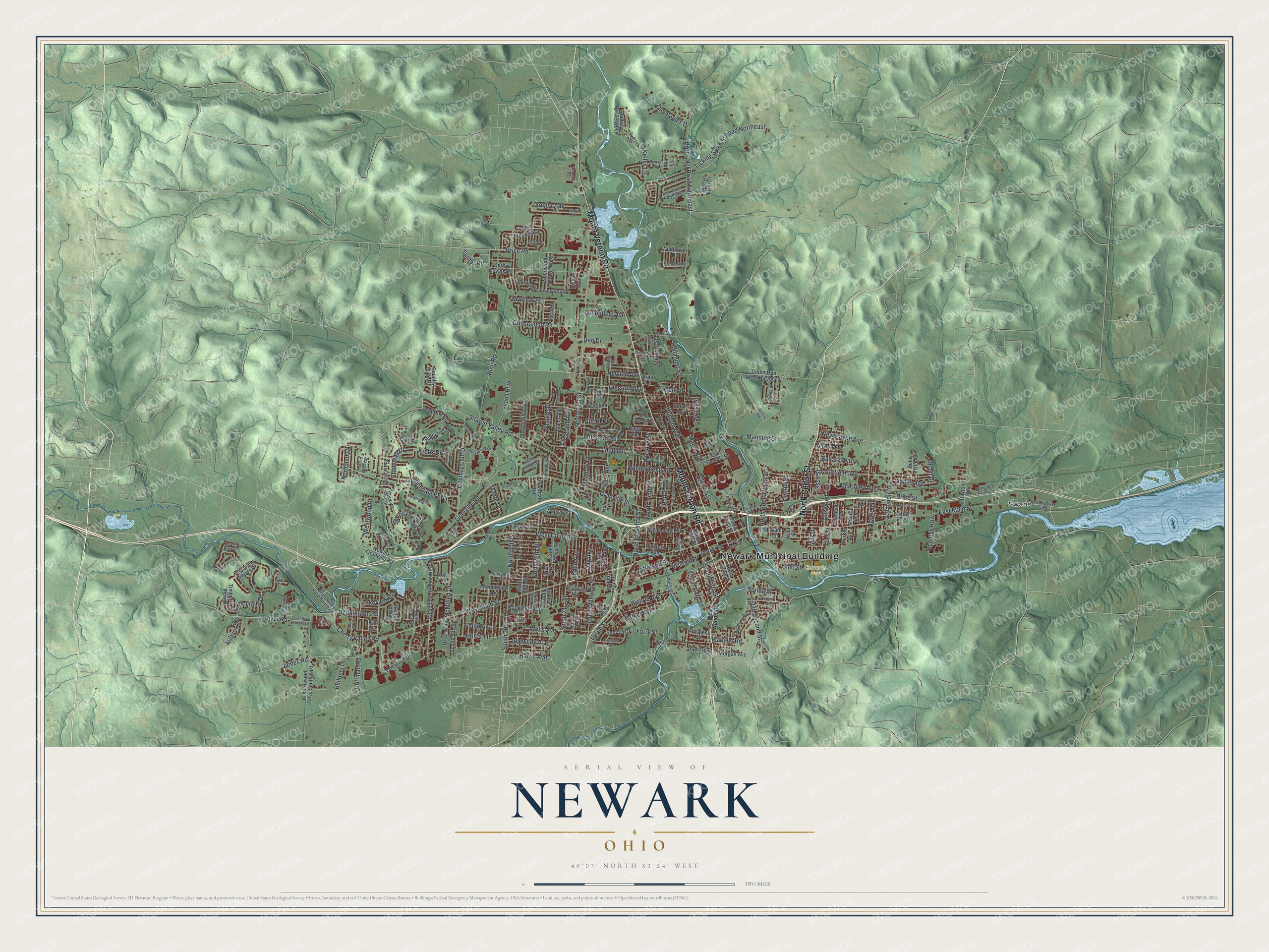
Created by KNOWOL in 2026, this map of Newark shows the city in deep red on soft green hills. The shaded hills come from USGS elevation data. The title panel reads "Aerial View of Newark, Ohio," with the coordinates 40°03' North, 82°24' West and a two-mile scale bar.
It suits a living room, a home office or a den. It's a thoughtful gift for someone who grew up in Newark, a Heisey glass collector, or anyone who moved away and still has family in Licking County. Open the preview, start at the Municipal Building and find the street you know. Shop the Newark, Ohio map.