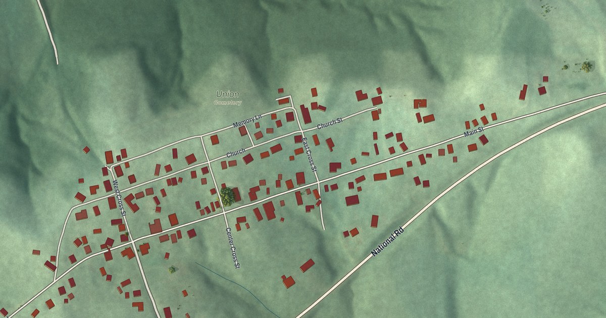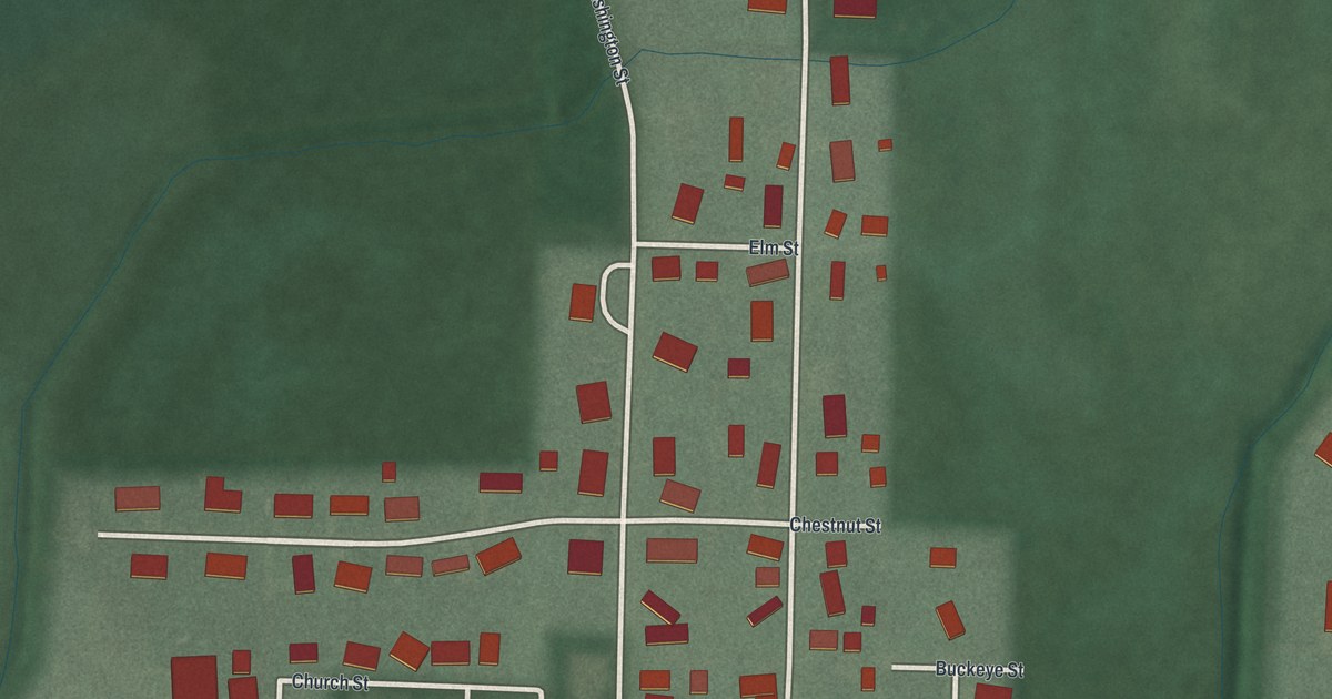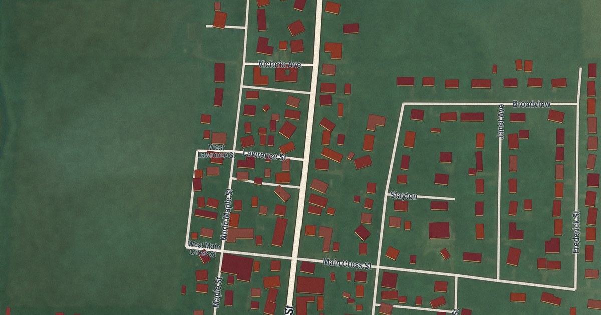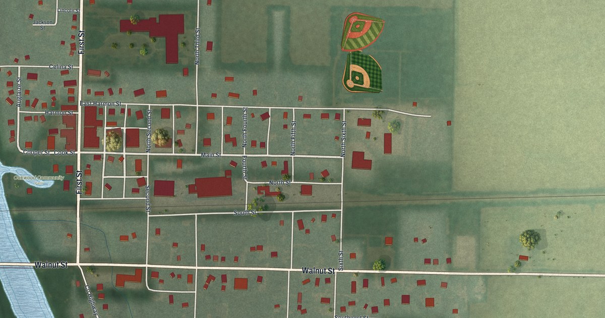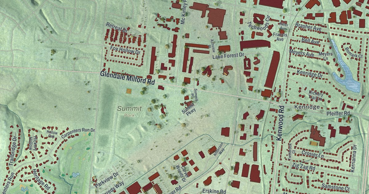
If you grew up off Kenwood Road or Cooper Road, or you still have family in Hazelwood, this map is for you. It's a modern aerial view of Blue Ash in Hamilton County, Ohio, built from modern data with a vintage look. Soft green hills fold around the town, and a wide highway curves down the right side. Red buildings fill the blocks around the Blue Ash Municipal Building, Summit Park and Kenridge. A small blue pond sits near Kenridge, too.
Kenwood Road, Cooper Road and the streets of Blue Ash
On this map you'll find Kenwood Road, Cooper Road, Glendale Milford Road, Reed Hartman Highway, Blue Ash Road, Plainfield Road, Cornell Road, Hunt Road, Pfeiffer Road, the Blue Ash Municipal Building, Summit Park, Nature Park, Hazelwood, Kenridge, Barwyn Acres, and more. Each red shape is a building, so zoom in on the preview and look for yours.
How Hazelwood built itself up
Hazelwood's name is printed near the top right of the map. It started in 1888 as a subdivision of Blue Ash, says the Ohio historical marker for the neighborhood. In 1941, neighbors formed the Brothers Civic Society. It later became the Hazelwood Civic Association. The group worked for public improvements. It held social events and ran learning programs. It helped build a new civic center. It also brought in the Boy and Girl Scouts and other programs that hadn't been available to African-American children before.
By 1968, Hazelwood was wearing down and new industry threatened to crowd in. So neighbors formed the Hazelwood Improvement Corporation. Working for the city of Blue Ash, it helped fix up houses and build new ones. It paved roads, put in water and sewer lines, and put up streetlights. In 1997, the Hazelwood Community Association formed. It helped residents as Hazelwood became a racially integrated community. The marker stands in Oakwood Park on Oak Avenue, close to where Hazelwood's name sits on the print.
From Hazelwood to Barwyn Acres on one print
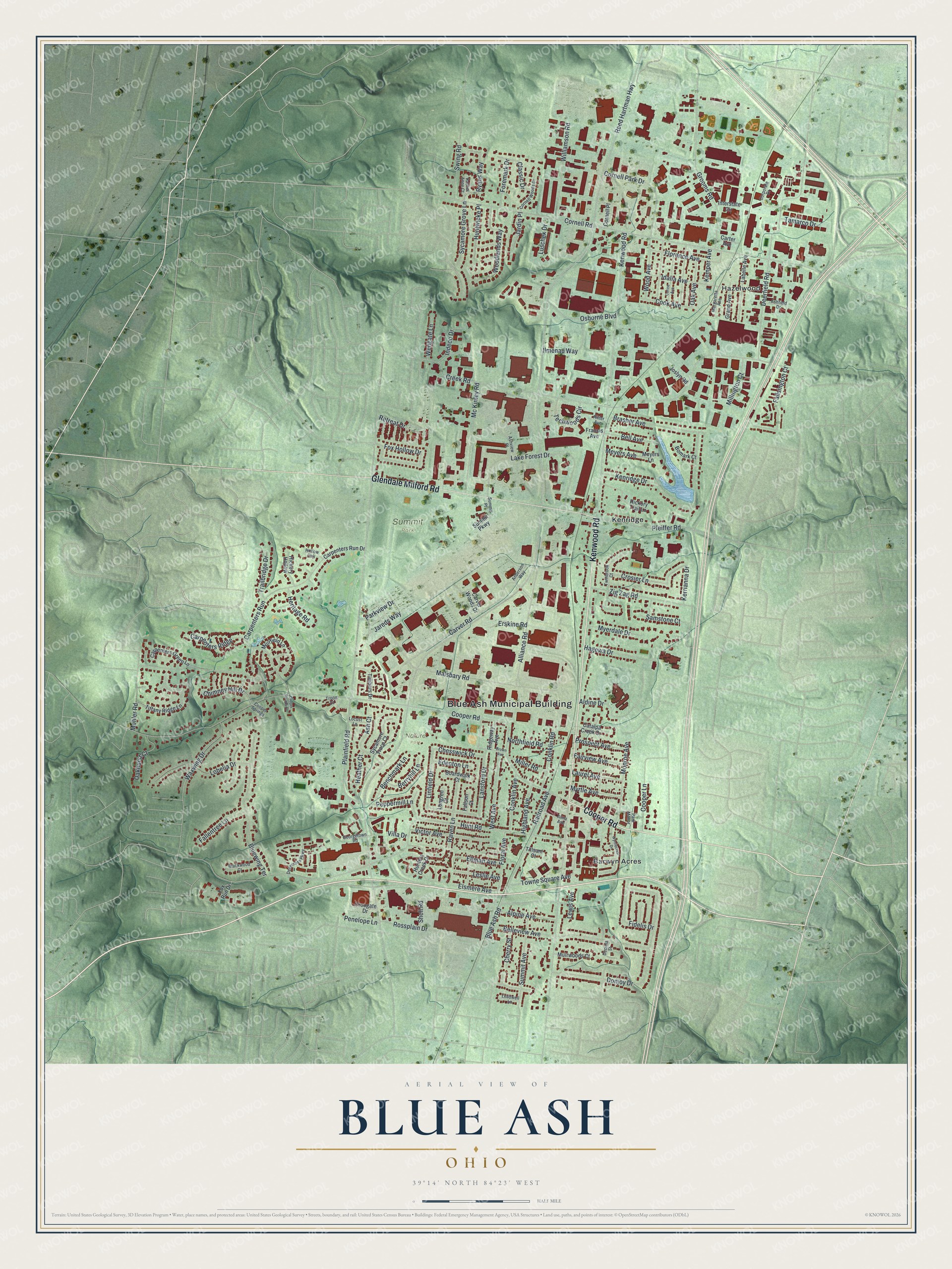
Created by KNOWOL in 2026, this print shows Blue Ash over soft green shaded hills, with its buildings in deep red. The title panel reads "Aerial View of Blue Ash, Ohio" with 39°14' North 84°23' West printed below.
It fits a home office, a hallway or a family room. It's a good gift for someone who grew up near Summit Park or in Hazelwood and has since moved away. Open the preview and find your street. See sizes and frames for the Blue Ash map.