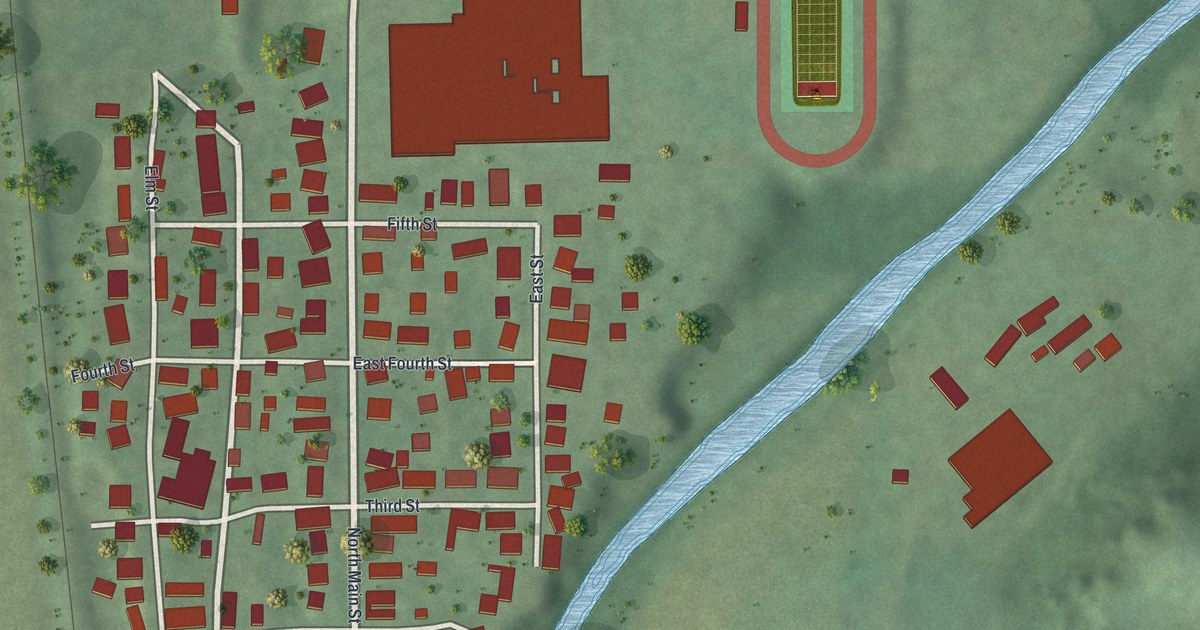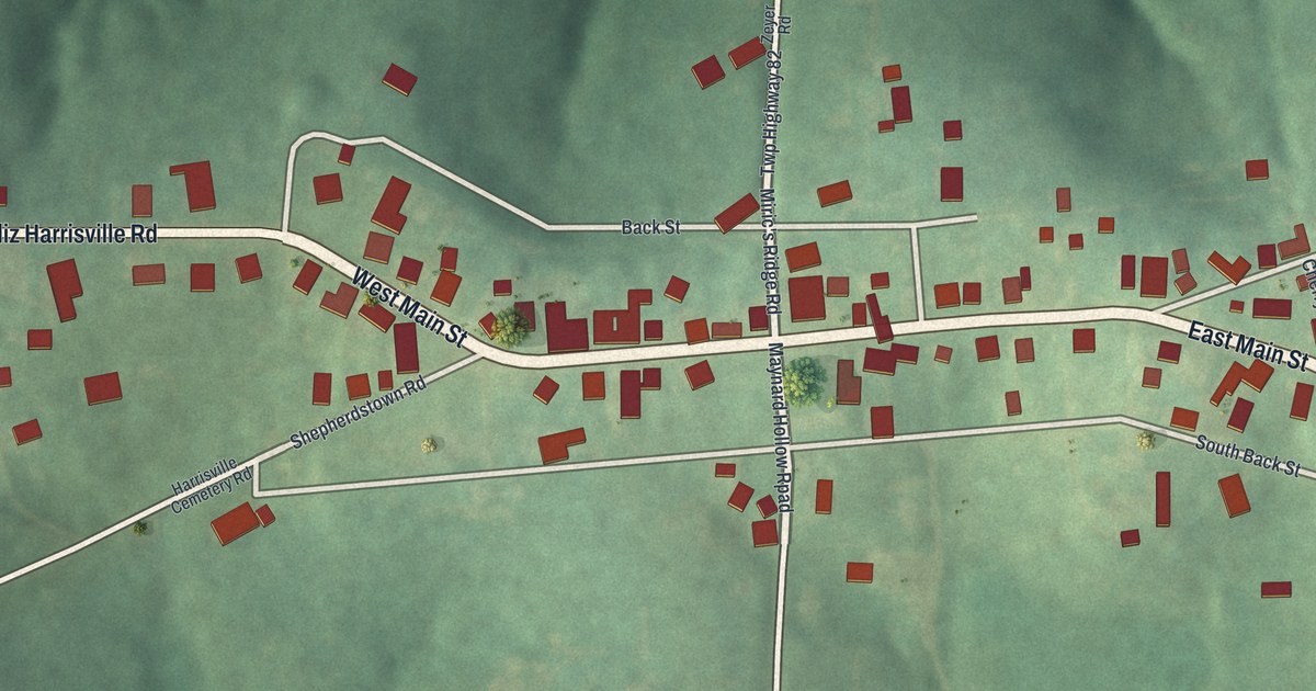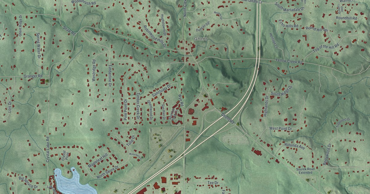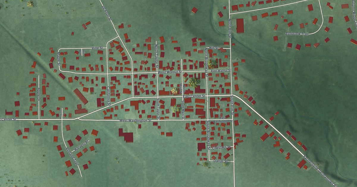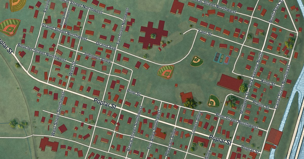
If you grew up on Poplar Street or still have family in Bolivar, this map is for you. It's a new aerial view of Bolivar in Tuscarawas County, Ohio, made from modern data and given a vintage look. Red buildings fill a tight grid of streets. Green hills rise on the left, and wide blue water wraps around the town on the right. A highway and a rail line run along the water's edge.
Fort Laurens, Bolivar's Revolutionary War fort
On this map you'll find Poplar Street, Park Avenue North, Park Avenue South, Park Avenue Southeast, Mulberry Street, Canal Street Northeast, Tuscarawas Street, Water Street Southwest, Cherry Street, Walnut Street, Pine Street, Fairview Street, Strawberry Alley, Lovers Alley, and more. Each red shape is a building, so zoom in on the preview and look for yours.
Bolivar's best-known story is Fort Laurens. A state marker calls it the only Continental military fort in what would later be Ohio. Troops and militia under General Lachlan McIntosh built it in November and December of 1778. They named it for Henry Laurens, the president of the Continental Congress. The army hoped to use it to strike at British-held Fort Detroit. The site was about two miles south of the Great Crossing on the Tuscarawas River, in friendly Lenape (Delaware) land. The marker sums up November 1778 to August 1779 in three words: survival on the frontier. Today it stands at the fort's driveway on Park Avenue Southeast.
Henry Howe wrote about the fort in his Historical Collections of Ohio. He said its earthen walls stood half a mile below Bolivar and closed in about an acre. In 1846 they were still a few feet high. Once they'd been topped with pickets made of split tree trunks. By then, he wrote, the canal passed right through the old walls.
Tuscarawas, the Delaware town before Bolivar
Long before the fort, this spot had another name. The 1884 History of Tuscarawas County says the Delaware village of Tuscarawas stood near what is now Bolivar. It calls that village the first capital of the Delawares in the valley. Howe wrote that a missionary named Post came to Tuscarawas, now Bolivar, in 1761 to teach. Trouble with the French and with hostile bands meant his mission didn't last. You'll find Tuscarawas Street on the map, too.
Keep Poplar Street and Park Avenue close
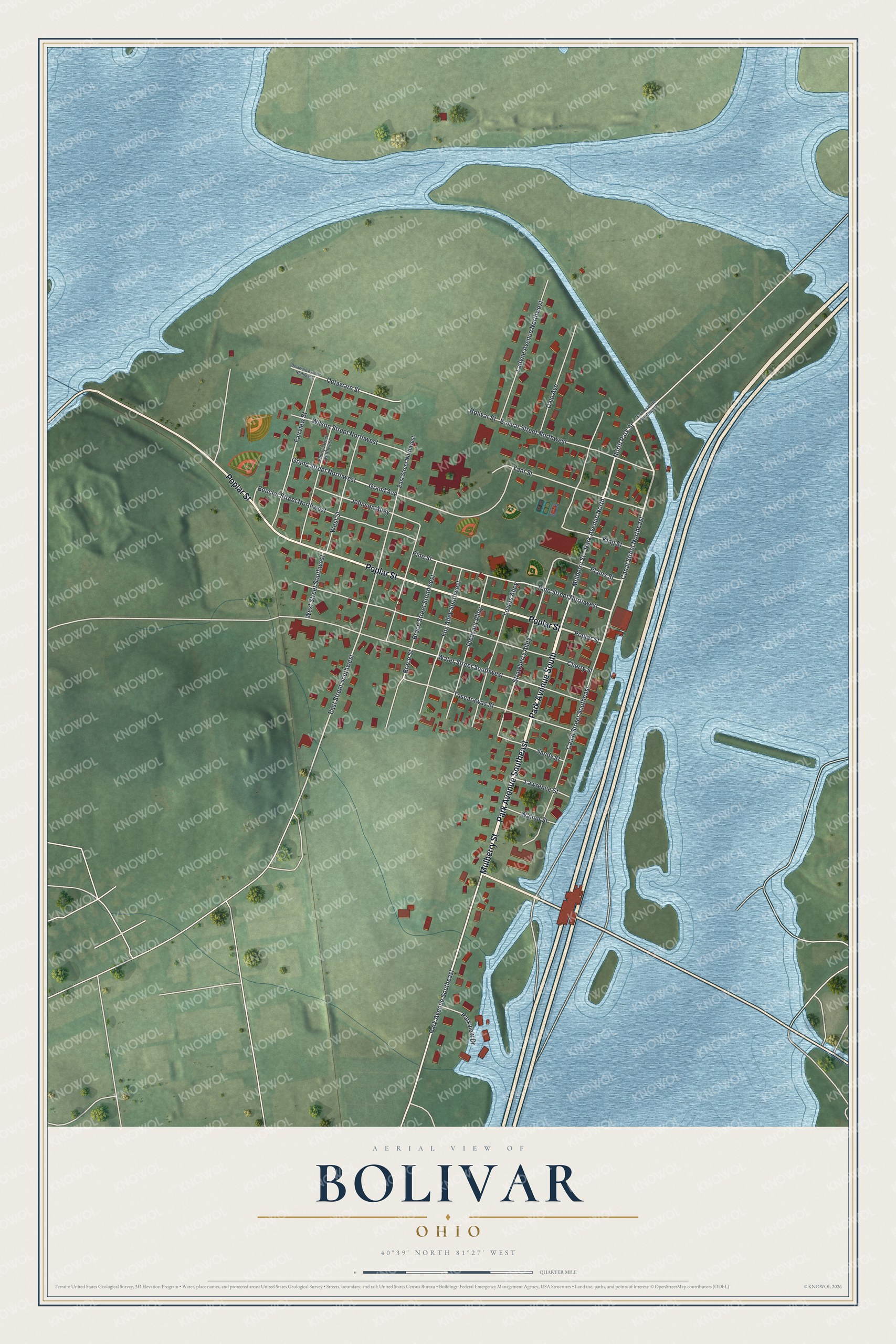
Created by KNOWOL in 2026, the print shows Bolivar from above in soft greens and blues, with every building in deep red and the river and hills shaded around it. The title panel reads AERIAL VIEW OF BOLIVAR, OHIO, with 40°39' NORTH 81°27' WEST printed below.
It fits a living room, a hallway or a den. It's a good gift for someone who grew up near Fort Laurens and moved away, or for anyone with family on Mulberry Street. Open the preview and find your own block. See sizes and frames for the Bolivar map.