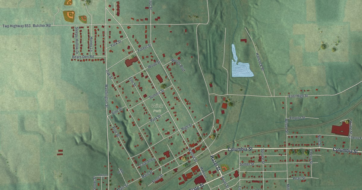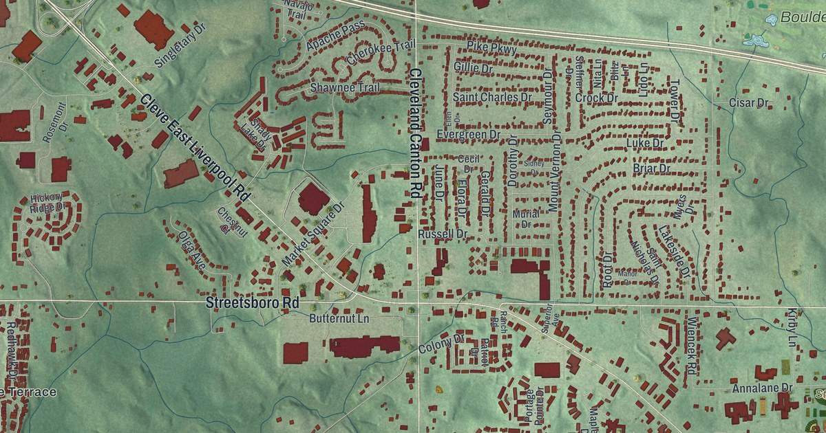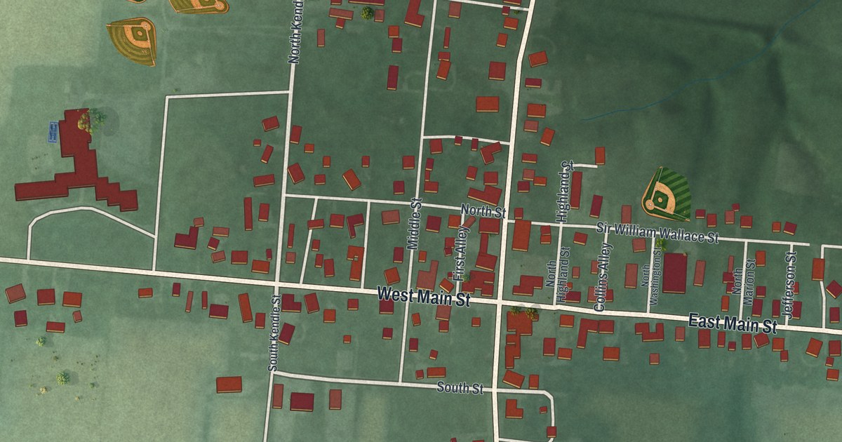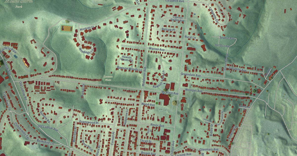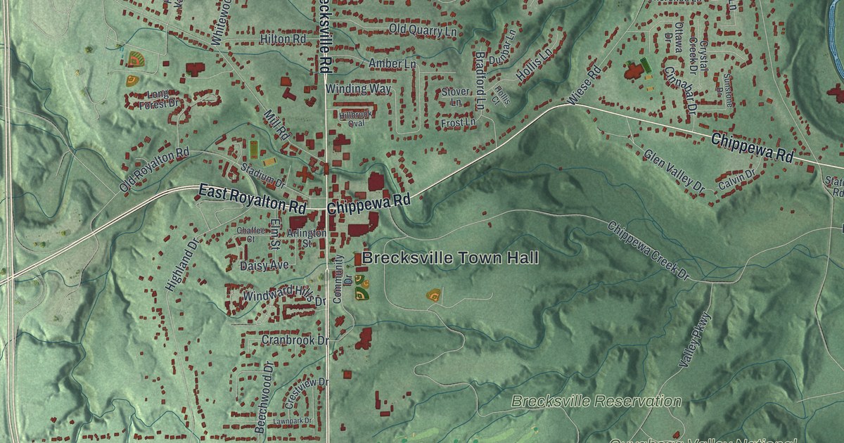
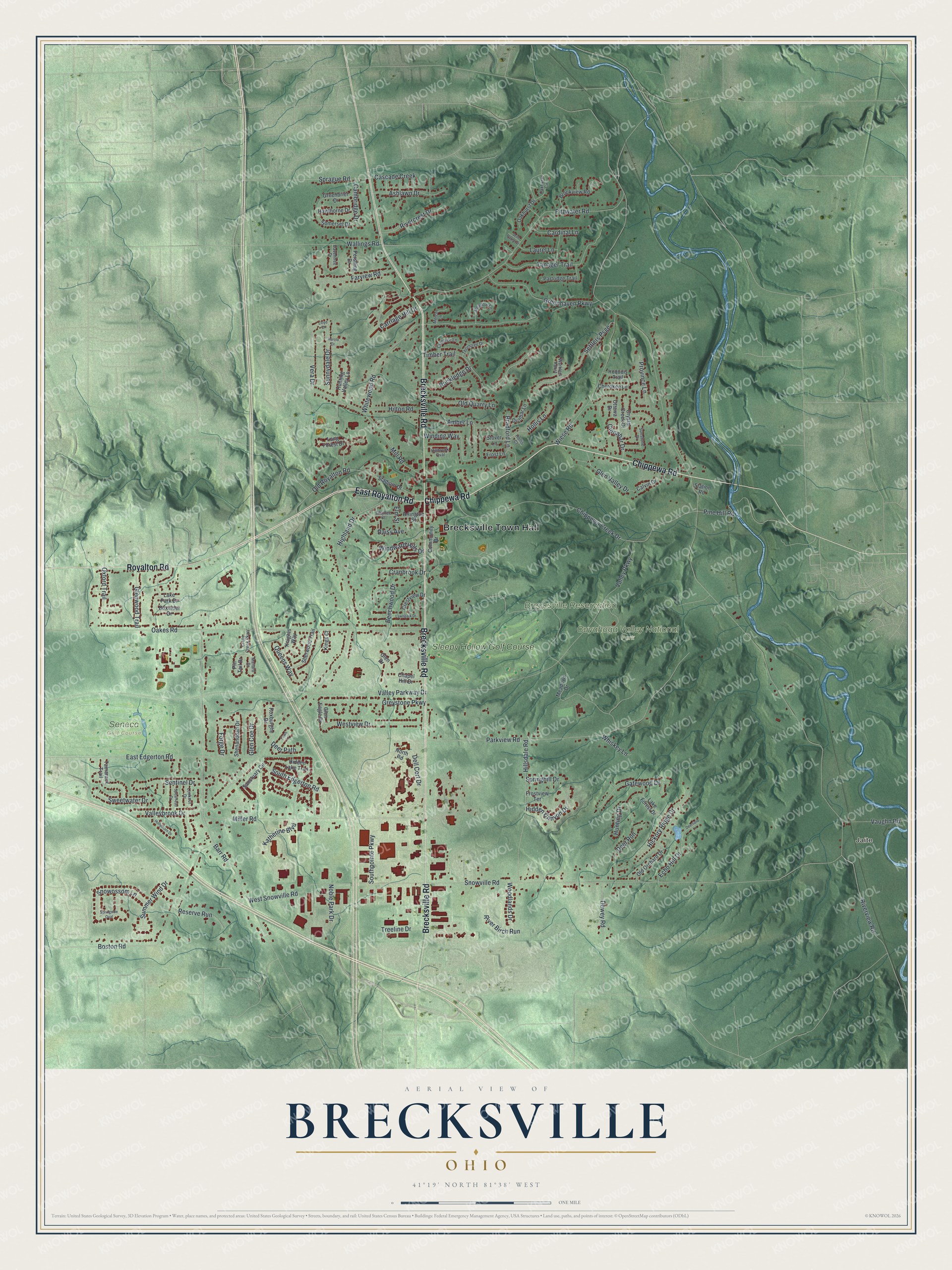
This beautifully detailed map of Brecksville, Ohio was created in 2026 using aerial imagery combined with modern topographical, census, street and landmark data. It’s a one-of-a-kind view of Brecksville that combines accurate data with a vintage aesthetic. The map shows every building in its true location, many of the roads carry their names, and the shaded topographic relief shows the shape of the land.
Explore an aerial view of Brecksville, Ohio
On the map you’ll find Brecksville Town Hall, Jaite, Brecksville Reservation, Cuyahoga Valley National Park, Seneca Golf Course, and Sleepy Hollow Golf Course, along with East Royalton Road, Brecksville Road, Chippewa Road, Royalton Road, Miller Road, Pine Hill Road, and more. If you look closely you can even find your house accurately drawn in its correct location. Zoom in on the preview to look for yours.
Did you know this piece of Brecksville, Ohio history?
From William R. Coates’s 1924 History of Cuyahoga County and the City of Cleveland: "Brecksville was organized in 1814, three years after the organization of the county. It was one of the first townships west of the river to form a local government."
Take a closer look at the Brecksville map
Street and place names on the Brecksville, Ohio map
These names are printed on the map of Brecksville, Ohio.
Places: Brecksville Town Hall, Jaite, Brecksville Reservation, Cuyahoga Valley National Park, Seneca Golf Course and Sleepy Hollow Golf Course.
Streets and roads: East Royalton Road, Brecksville Road, Chippewa Road, Royalton Road, Miller Road, Pine Hill Road, Highland Drive, Glen Valley Drive, Riverview Road, Valley Parkway Drive, Snowville Road, Oakes Road.
More street names, A to Z
Amber Lane, Arlington Street, Ashlawn Drive, Barr Road, Beechwood Drive, Boston Road, Boxelder Drive, Bradford Lane, Brookview Road, Calvin Drive, Cambridge Drive, Cardinal Lane, Carriage Hill Drive, Cascade Creek, Chaffee Court, Chapel Hill Drive, Cherokee Lane, Chippewa Creek Drive, Cinnabar Drive, Community Drive, Crabtree Lane, Cranbrook Drive, Crane Creek Parkway, Crestview Drive, Crystal Creek Drive, Daisy Avenue, Daventree Drive, Deerfield Lane, Deer Path, Deer Run, Dell Cort Drive, Dewey Road, Dunbar Lane, East Edgerton Road, Echo Hill Drive, Elm Street, Farview Road, Fawn Lane, Fitzwater Road, Forge Drive, Frost Lane, Frostview Terrace, Gatewood Drive, Glen Coe Drive, Glen Drive, Glen Eagle Drive, Glenwood Trail, Greenbrier Drive, Greenhaven Parkway, Greystone Parkway, Harold Drive, Hawthorne Drive, Hickory Ridge Drive, Hidden Canyon Drive, Hidden Lake Trail, Hillbrook Oval, Hillsdale Road, Hilton Road, Hollis Court, Hollis Lane, Hollythorn Drive, Hunting Drive, Hunting Valley Lane, Iroquois Trail, Katherine Boulevard, Kings Court, Knights Way, Lake Forest Drive, Lake Park Drive, Laurel Lane, Lawnpark Drive, Lloyd Drive, Long Forest Drive, Lookout Drive, Mallard Drive, Meadow Lane, Meadows Drive, Mercer Lane, Mill Road, Noble Park Drive, North Road, Oakhurst Circle, Oakhurst Drive, Old Orchard Drive, Old Quarry Lane, Old Royalton Road, Ottawa Drive, Oxford Trail, Parkview Road, Partridge Trail, Pershing Drive, Pin Tail Drive, Province Lane, Queens Way, Reserve Run, River Birch Run, Rivercrest Drive, Rockledge Drive, Roxburghe Drive, Sanctuary Circle, Sentinel Drive, Seth Payne Street, Settlers Psge, Shenandoah Drive, Sherwood Trail, Snowossom Lane, Somerset Drive, South Edgerton Road, Southpointe Parkway, Spearhead Drive, Sprague Road, Springhill Drive, Springside Oval, Stadium Drive, Station Road, Stover Lane, Summer Wind Drive, Sunnydale Drive, Sunstone Drive, Sweetwater Drive, Tamarack Trail, Tanager Trail, Thorntree Drive, Timber Trail, Treeline Drive, Valleybrook Drive, Valley Parkway, Vaughn Road, Vera Drive, Wallings Road, Warblers Roost, West Snowville Road, Westview Drive, Whiskey Lane, Whitewood Road, Wiese Road, Winding Way, Windward Hills Drive, Woodlands Drive.
See the Brecksville, Ohio map on a wall
The Brecksville map as an 18 x 24 inch print in a black frame.

This beautifully detailed map of Brecksville makes an attractive addition to your office, library, or den, and it can even be used to teach children the geography and history of the area. It also makes a great gift for anyone who grew up in Brecksville or moved away. When you’re done exploring, click here to get your copy of the Brecksville map.