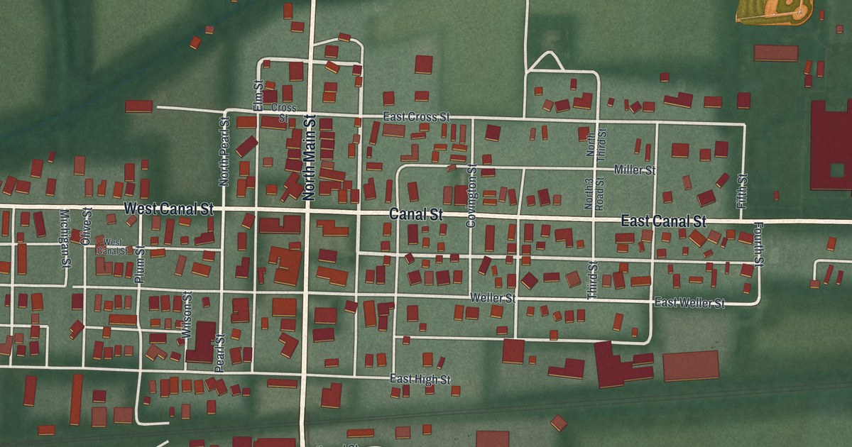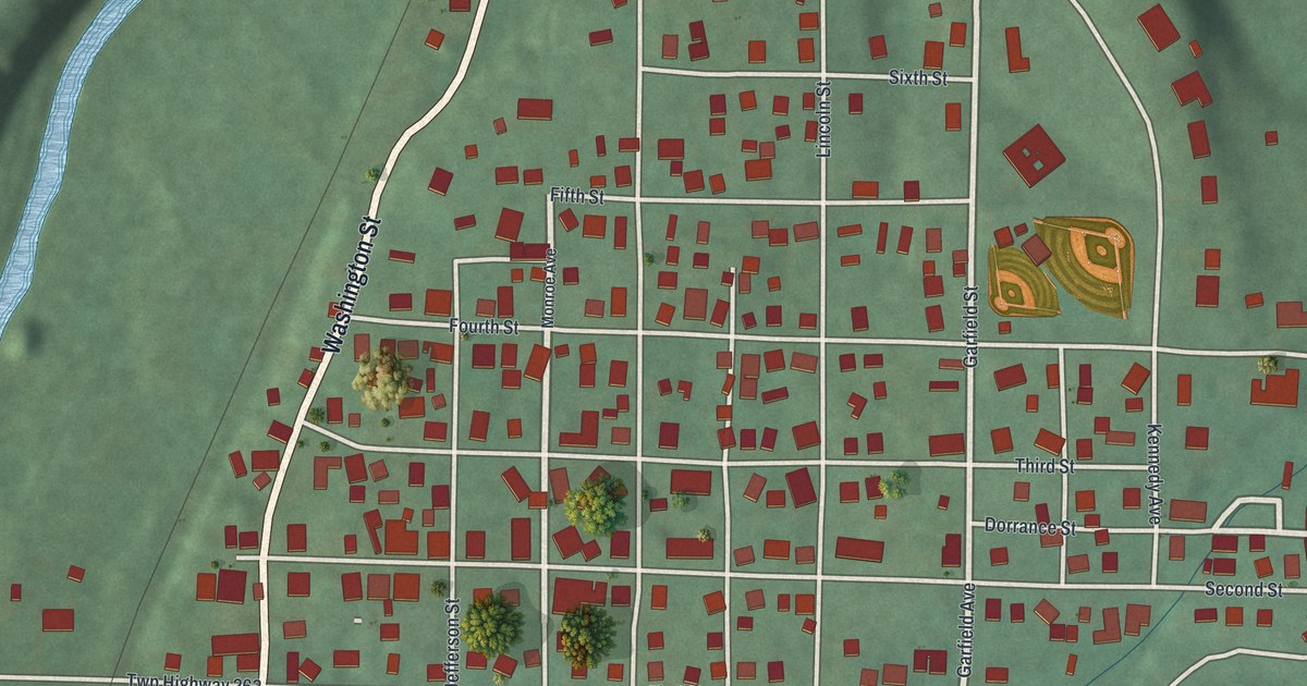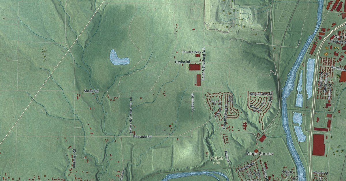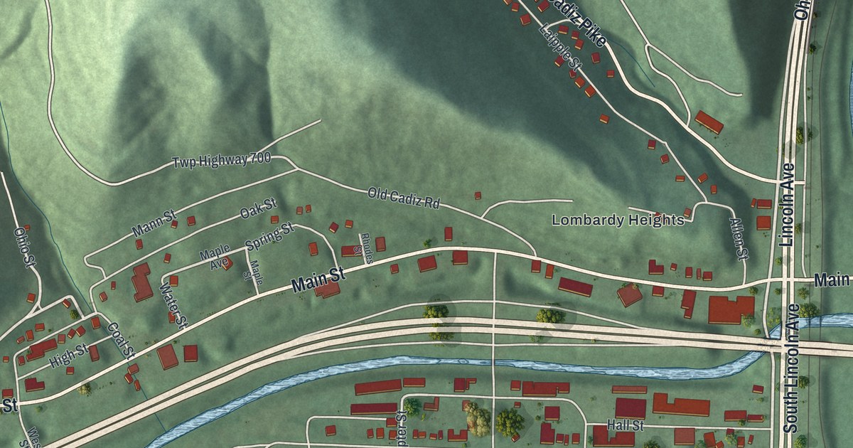
If you grew up in Bridgeport, or still have family on Lincoln Avenue or up in Lombardy Heights, this print shows the streets you know. It's a new aerial view of Bridgeport in Belmont County, Ohio, made from modern data and given a vintage look. You'll see Main Street crossing a wide blue river, the old blocks packed between a narrow creek and the hills, and the homes of Aetnaville and West Wheeling.
Main Street, Lincoln Avenue and your own block
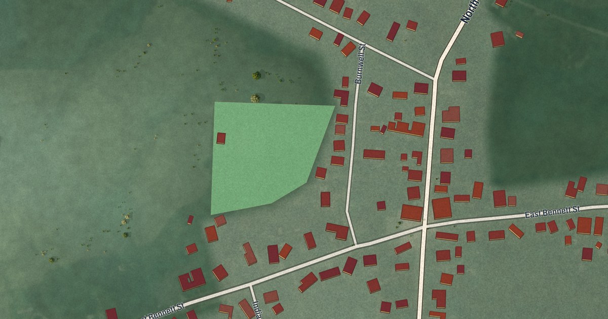
On this map you'll find Main Street, Lincoln Avenue, National Road, Cadiz Pike, Bennett Street, Howard Street, Chase Avenue, Sumpter Street, Kirkwood Heights Road, Prospect Avenue, Gould Park, Lombardy Heights, Aetnaville, West Wheeling, and more. Each red shape is a building, so zoom in on the preview and look for yours.
How Bridgeport got its name
Bridgeport started as a fort. Fort Kirkwood stood here in 1789. In 1806, Colonel Ebenezer Zane laid out a village on the same ground. Zane was one of the men who founded Wheeling. His new village was first called Canton. Then a bridge was built to Wheeling Island. After that, the town took the name Bridgeport.
Why Bridgeport is called the Gateway to the West
The National Road reached town in 1818. Bridgeport soon became a main door into Ohio for families moving west. It was a busy river port, too. Later came the railroads, and then the big highways. That's why the state's marker on Main Street calls Bridgeport Ohio's "Gateway to the West." On the map, find Main Street where it crosses the river. That's still the way into Ohio.
There are Kirkwood names on the map, too. Kirkwood Heights Road is printed in the hills near West Wheeling. And the Joseph Kirkwood House, at 329 Bennett Street, is listed on the National Register of Historic Places. Look for Bennett Street on the west side of town, near National Road.
From Aetnaville to West Wheeling
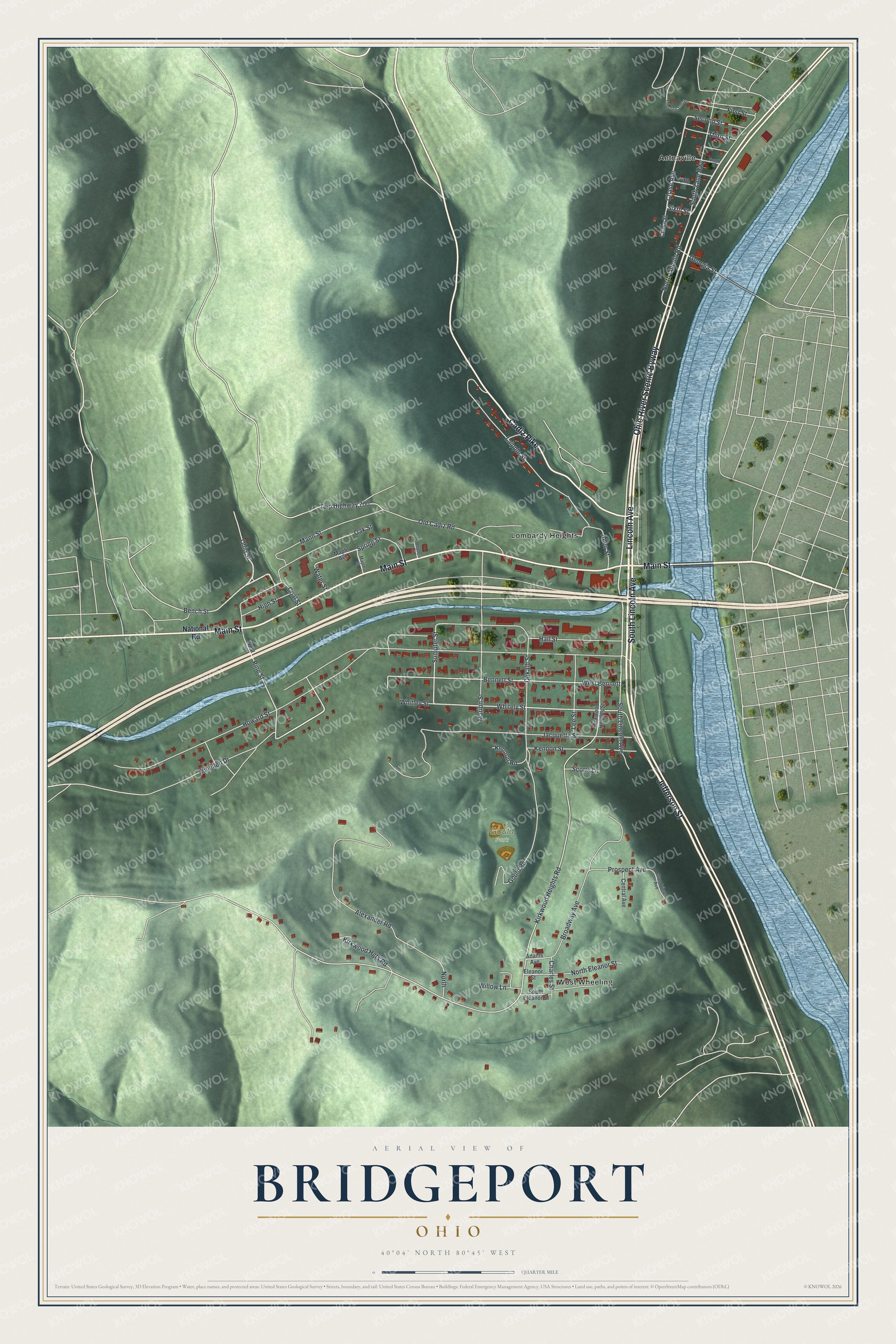
Created by KNOWOL in 2026. The print shows green, shaded hills, a wide blue river along the right side, and red buildings set along white streets. The title panel reads "Aerial View of Bridgeport, Ohio" with the coordinates 40°04' North 80°45' West.
It fits a living room, a front hall or a home office. It's a good gift for someone who grew up near Gould Park, or for a friend who moved away from the river towns. Open the preview and find your street. See sizes and frames for the Bridgeport map.