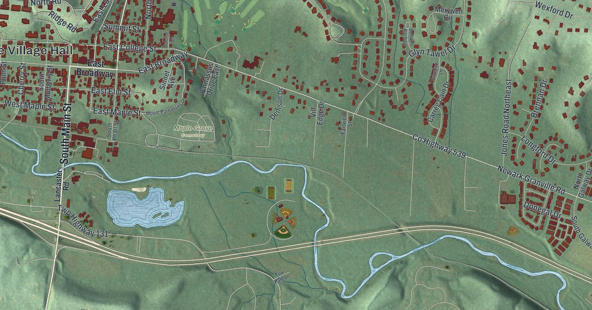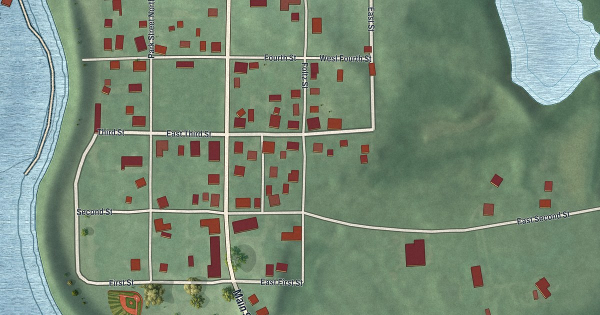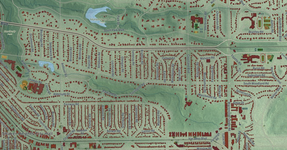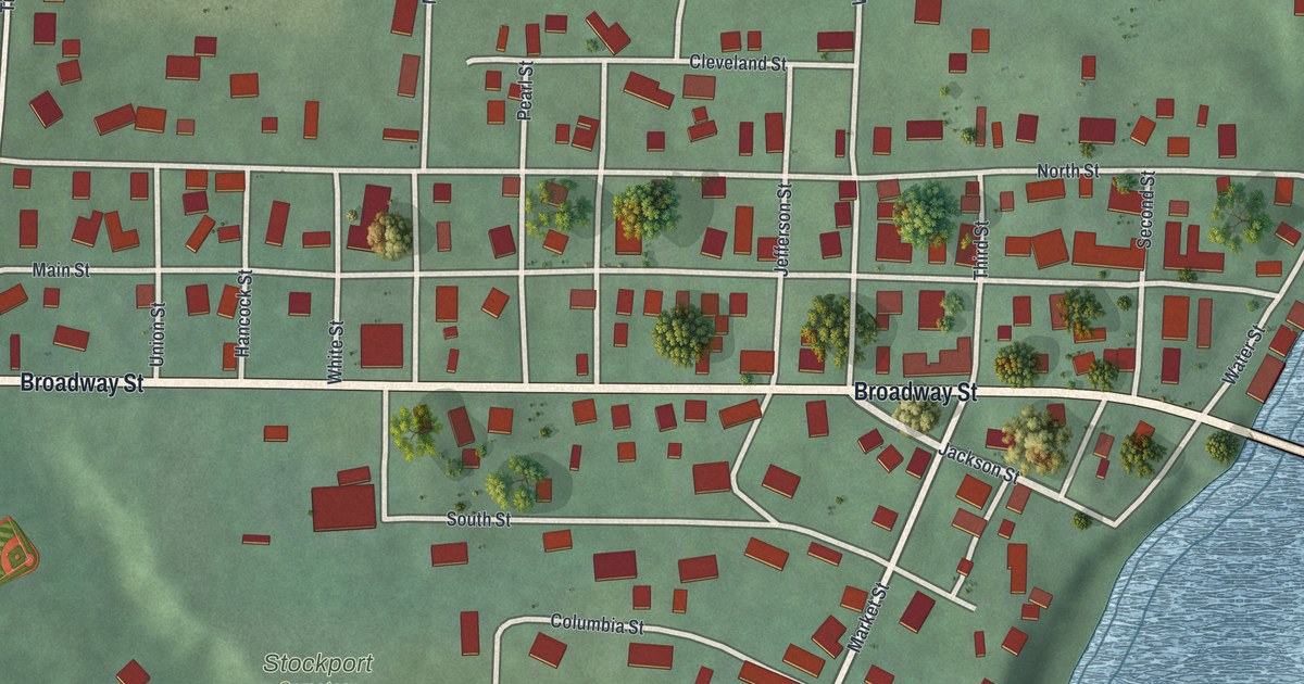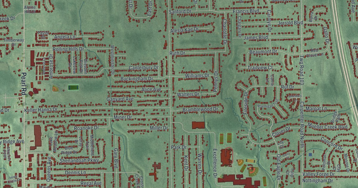
If you grew up on a street off Pearl Road or Center Road, this map was made with you in mind. It's a modern aerial view of Brunswick in Medina County, Ohio, drawn from modern data and given a vintage look. More than 16,000 buildings sit in deep red over soft green land. You can see the long rows of homes, the parks, and the small blue ponds near the middle of town.
The church on Pearl Road that started in 1817
On this map you'll find Pearl Road, Center Road, Laurel Road, Boston Road, Grafton Road, West 130th Street, Sleepy Hollow Road, City of Brunswick Municipal Center, Hopkins Park, Mooney Park, North Park, Sherman Corners, Bennetts Corners, Rolling Wheel Park, and more. Each red shape is a building, so zoom in on the preview and look for yours.
Brunswick's church story goes back to April 1817. That's when the Rev. Jacob Ward started the Brunswick Methodist Episcopal Church with just 13 members. They included John and Lucy Stearns, Thomas and Phoebe Stearns, and Rhoda Stow. In 1830, John and Lucy Stearns gave land for a cemetery, with room for a church. A new church was finished in 1872. Its bricks were fired right here, and the first windows had clear glass and shutters. In 1916 the church got stained glass and a new tower for its bell. The Ohio History Connection tells this story on its Brunswick United Methodist Church marker at 1395 Pearl Road. Pearl Road is printed on the map, and the Stearns name shows up today on Stearns Street.
Heritage Farm on Laurel Road
Another marker stands at 4613 Laurel Road. David Berdan bought 325 acres there in 1818. Today, Heritage Farm keeps a 4 acre piece of that land as a museum. It has a house, a barn, a granary, a corncrib and a chicken house. The Ohio History Connection calls it a typical farm of the Ohio Western Reserve from the mid 1800s. It opened to the public on July 1, 2000. Find Laurel Road on the map and you'll be close to where that farm began.
Keep Pearl Road and Center Road close
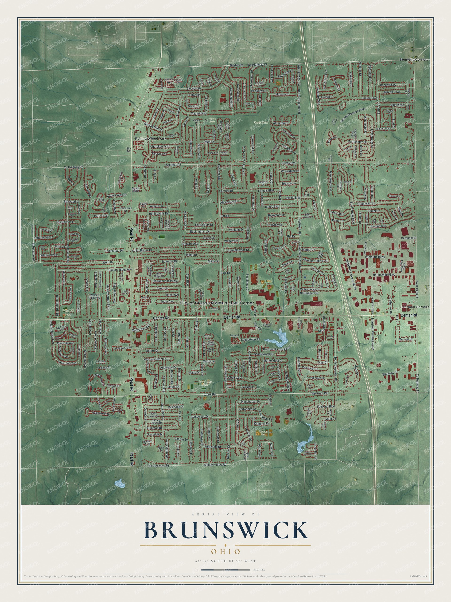
Created by KNOWOL in 2026, this print shows Brunswick in deep red buildings over a soft green aerial view with gentle shading for the hills. Small blue ponds and thin creeks run between the neighborhoods. The cream title panel at the bottom reads AERIAL VIEW OF BRUNSWICK, OHIO, with 41°14' NORTH 81°50' WEST below it.
It fits well in a living room, a hallway, a home office or a family room. It's a good gift for someone who moved away, or for a family that spent Sundays at the church on Pearl Road. Open the preview and find your street. See sizes and frames for the Brunswick map.