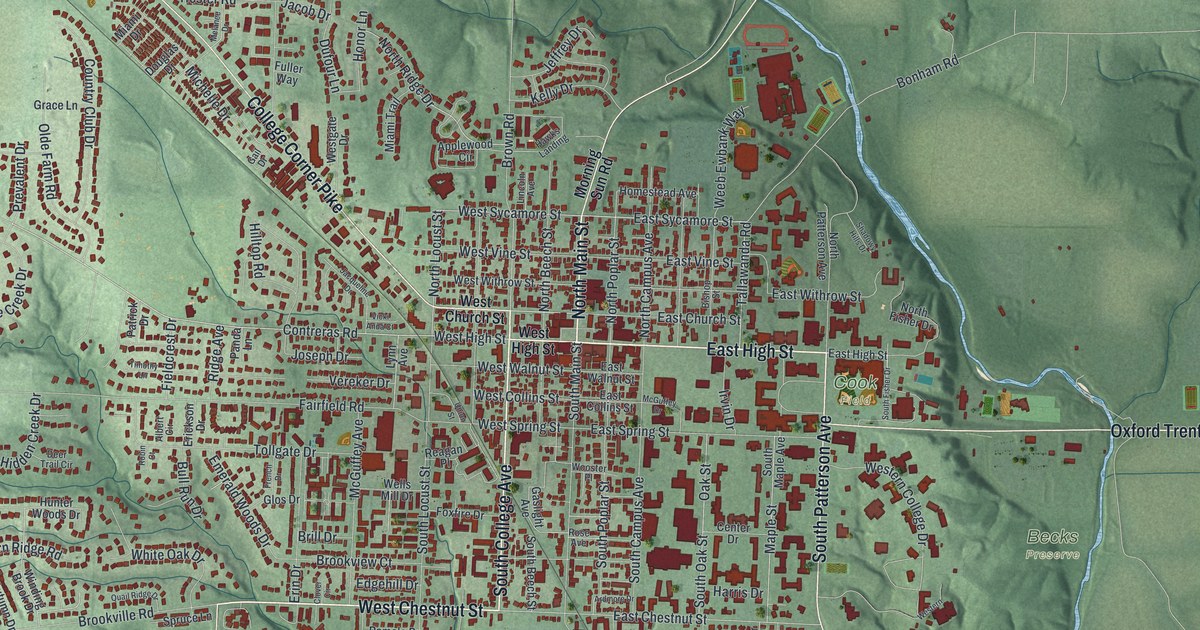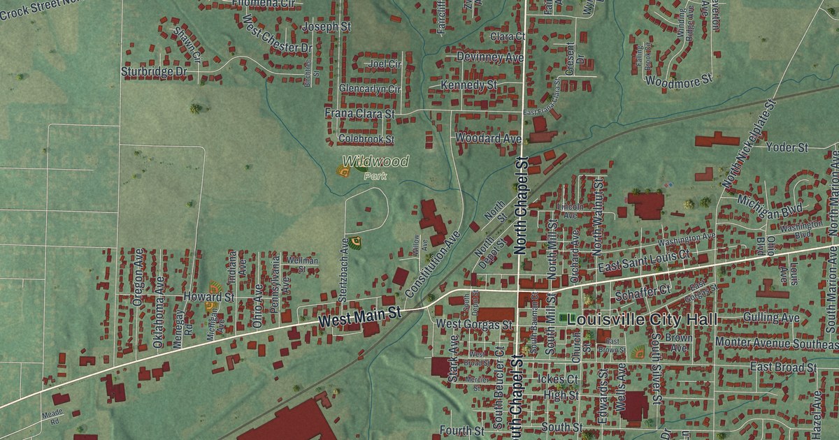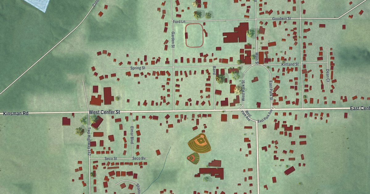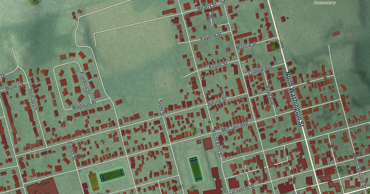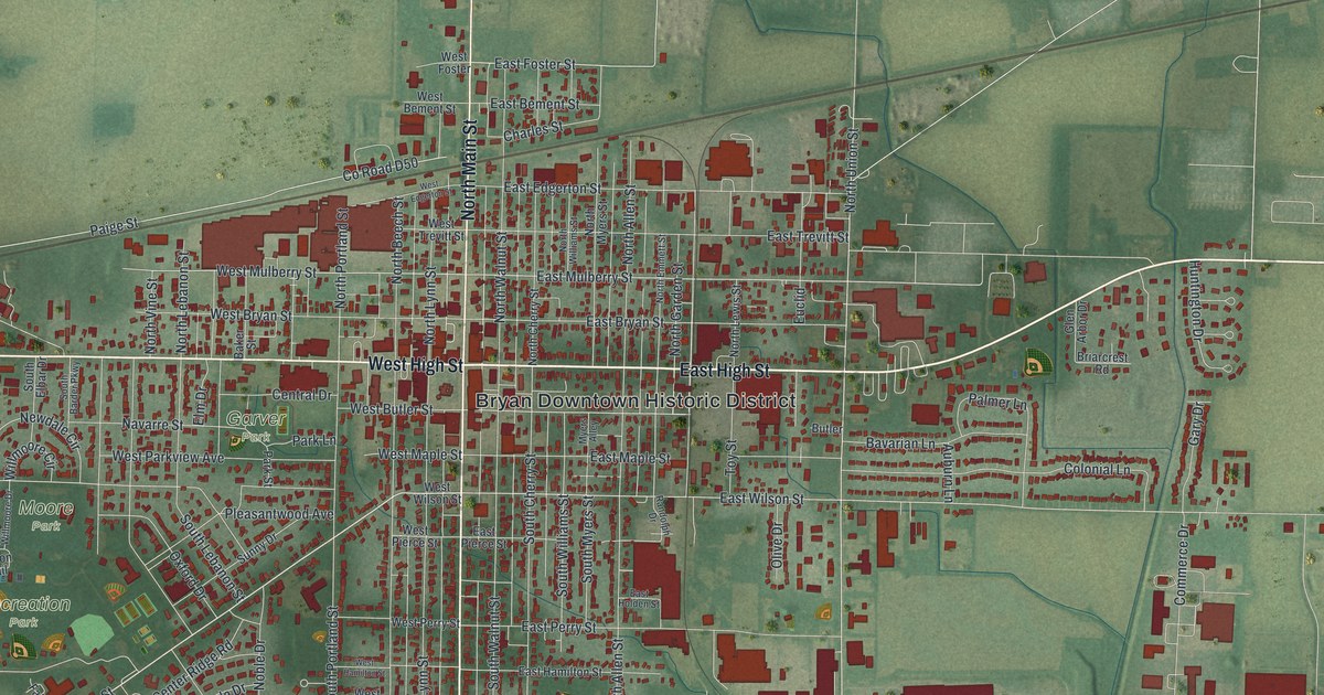
If you grew up near Main and High in Bryan, or you still hear the trains roll past town, this map is for you. It's a modern aerial view of Bryan in Williams County, Ohio, made from modern data and given a vintage look. You'll see the Bryan Downtown Historic District at the center, with Garver Park, Moore Park and Recreation Park to the west. Fountain Grove Cemetery sits near the bottom, and a long, straight rail line crosses the top of town.
Main Street, High Street and the Parks of Bryan
On this map you'll find North Main Street, South Main Street, East High Street, West High Street, the Bryan Downtown Historic District, Garver Park, Moore Park, Recreation Park, Fountain Grove Cemetery, Rachel Heights, East Foster Street, Paige Street, North Lynn Street, and more. Each red shape is a building, so zoom in on the preview and look for yours.
The 1966 Speed Record on the Straight Track Near Bryan
Bryan sits on a very long, very straight piece of railroad. An Ohio historical marker says the track runs 67 miles without a bend, from Toledo, Ohio, to Butler, Indiana. It calls this the longest multiple track straight railroad line in the world. The Northern Indiana Railroad Company of Ohio built it. That company was formed on March 3, 1851.
In 1966, the New York Central Railroad wanted to test fast passenger trips between cities up to 300 miles apart. It picked the straight track near Bryan. On July 23, 1966, its crew ran a Budd passenger car, number M-497. Two jet engines were mounted on the roof. The car reached 183.85 miles per hour. The marker says that's the fastest ever recorded on a railroad in North America. On the map, look for the rail line across the top of town. The marker stands near where Paige Street meets North Lynn Street.
For Anyone Who Knows North Main Street in Bryan
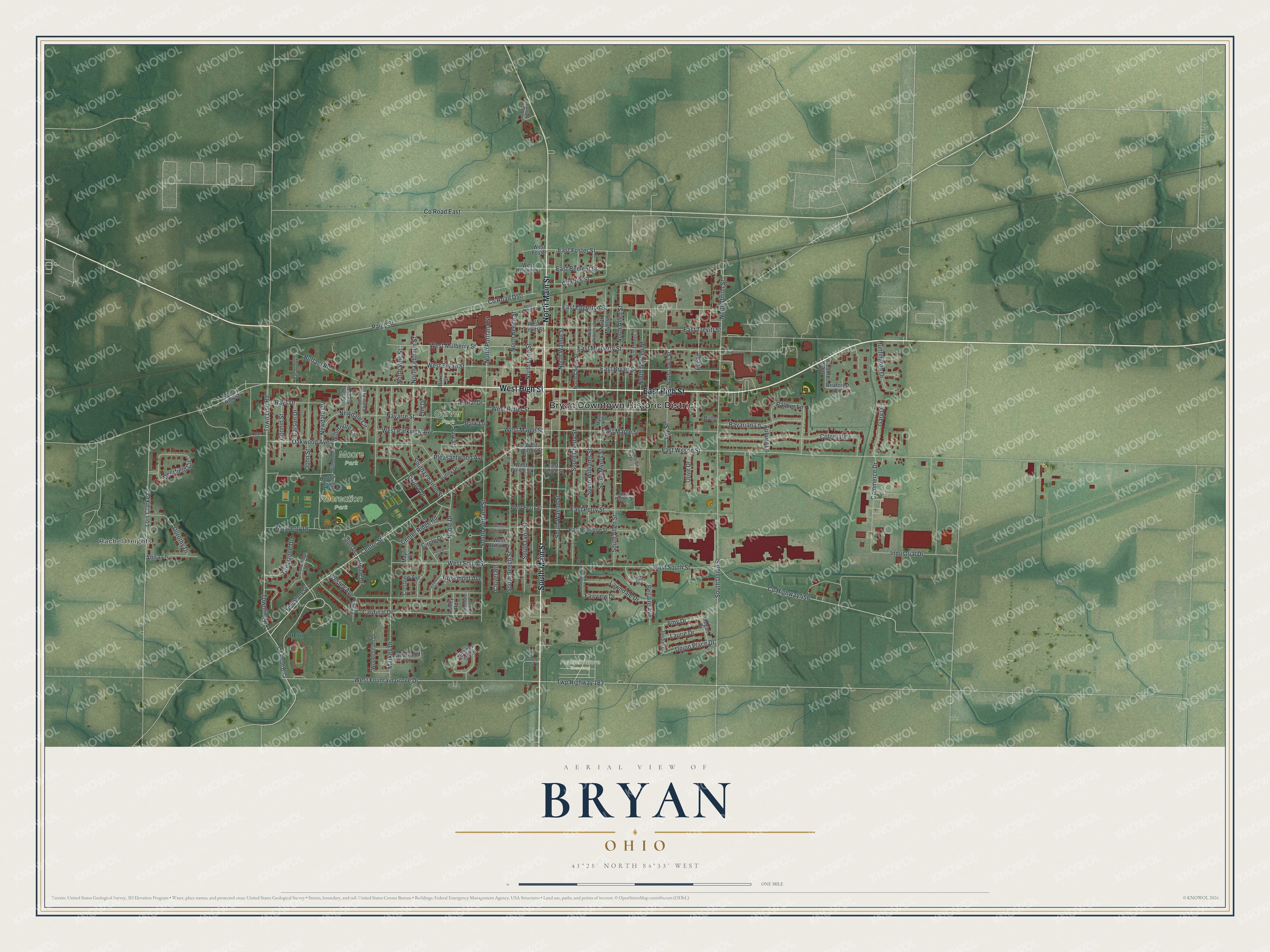
Created by KNOWOL in 2026, this print shows Bryan from above in soft greens, with farm fields all around and every building in deep red. The title panel reads "Aerial View of Bryan, Ohio" with the coordinates 41°28' North 84°33' West.
It fits a living room, a front hall or a home office. It's a good gift for someone who grew up near Recreation Park, or for a friend who moved away from Bryan. Open the preview and find your street. See sizes and frames for the Bryan map.