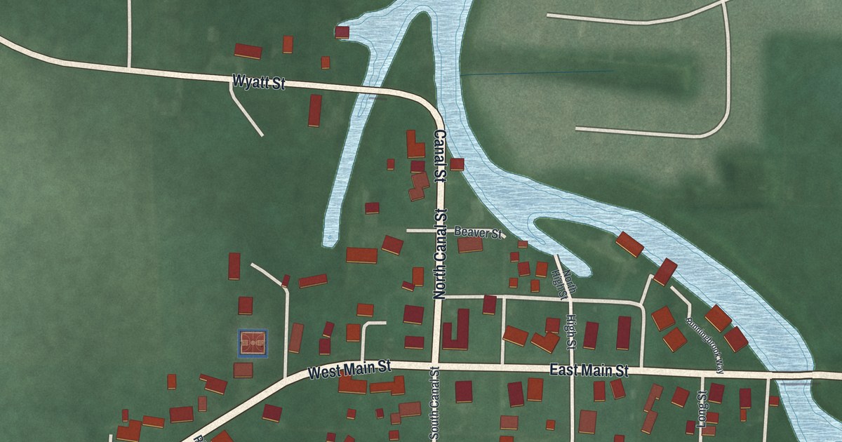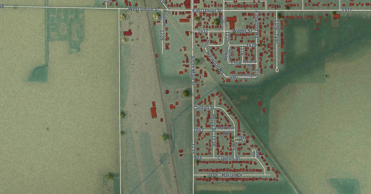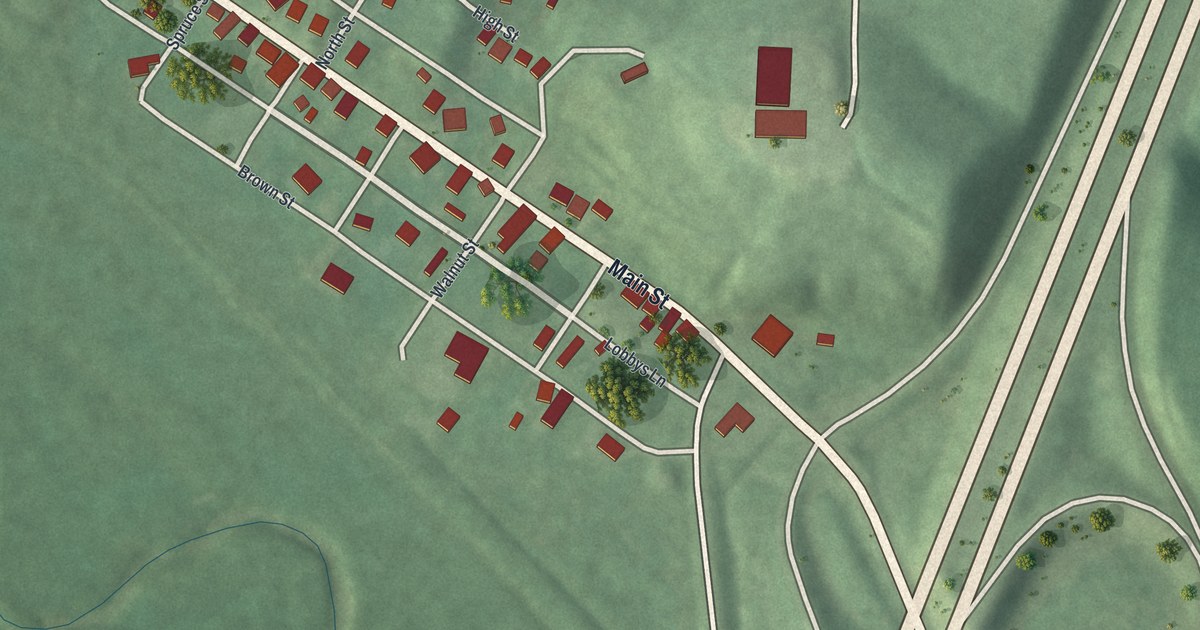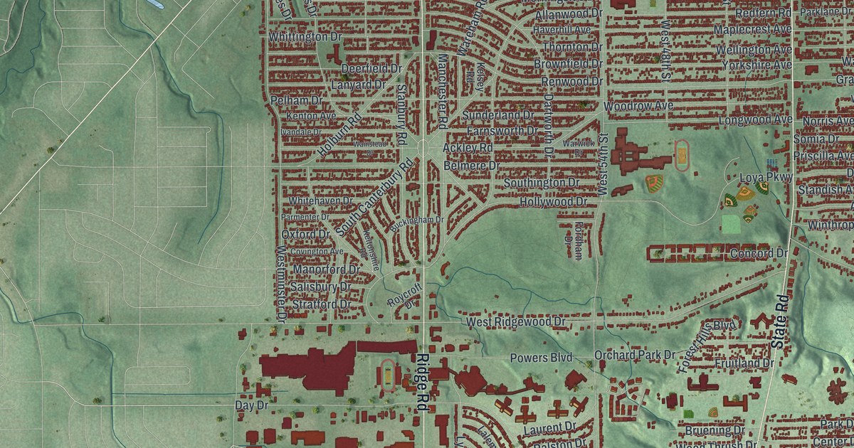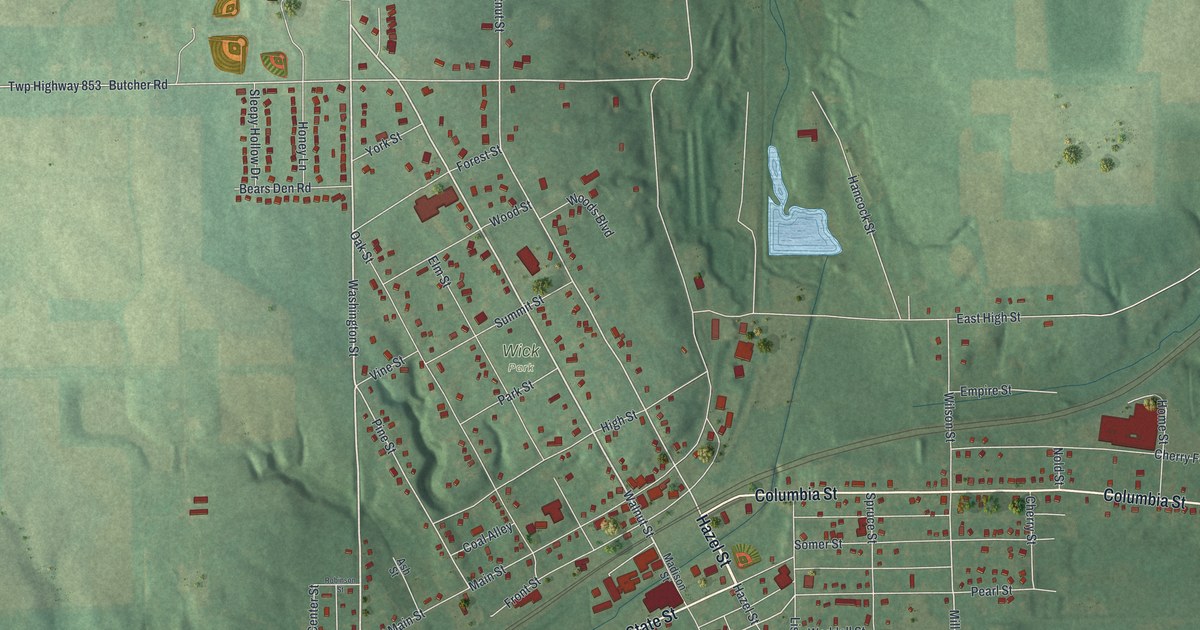
If you grew up in Leetonia, look for your old street here. This aerial view of Leetonia in Columbiana County, Ohio, is built from modern data and has a vintage feel. Red buildings fill the town's blocks, with green hills and blue water around them.
Leetonia's streets and the Cherry Valley Coke Ovens
On this map you'll find Main Street, Columbia Street, State Street, Lisbon Street, Walnut Street, Chestnut Street, High Street, Washington Street, Butcher Road, Park Street, Industry Street, Coal Alley, and more. Each red shape is a building, so zoom in on the preview and look for yours.
The Cherry Valley Coke Ovens marker tells the story of 200 ovens. The Leetonia Iron and Coal Company built them to fuel its iron furnaces. The marker says they were likely built in 1866, and calls the complex one of the largest of its kind in the nation. These ovens had a beehive shape. They burned impurities out of hard coal to make coke. That fuel fed the furnaces that made iron and steel.
The company later became known as the Cherry Valley Iron Works. Its ovens stopped work in the early 1930s, during the Great Depression. The marker stands at Butcher Road and Main Street. Find those names on the print to place this part of Leetonia's story among familiar streets. The furnaces once stood south of the oven site.
Keep Leetonia's Main Street close
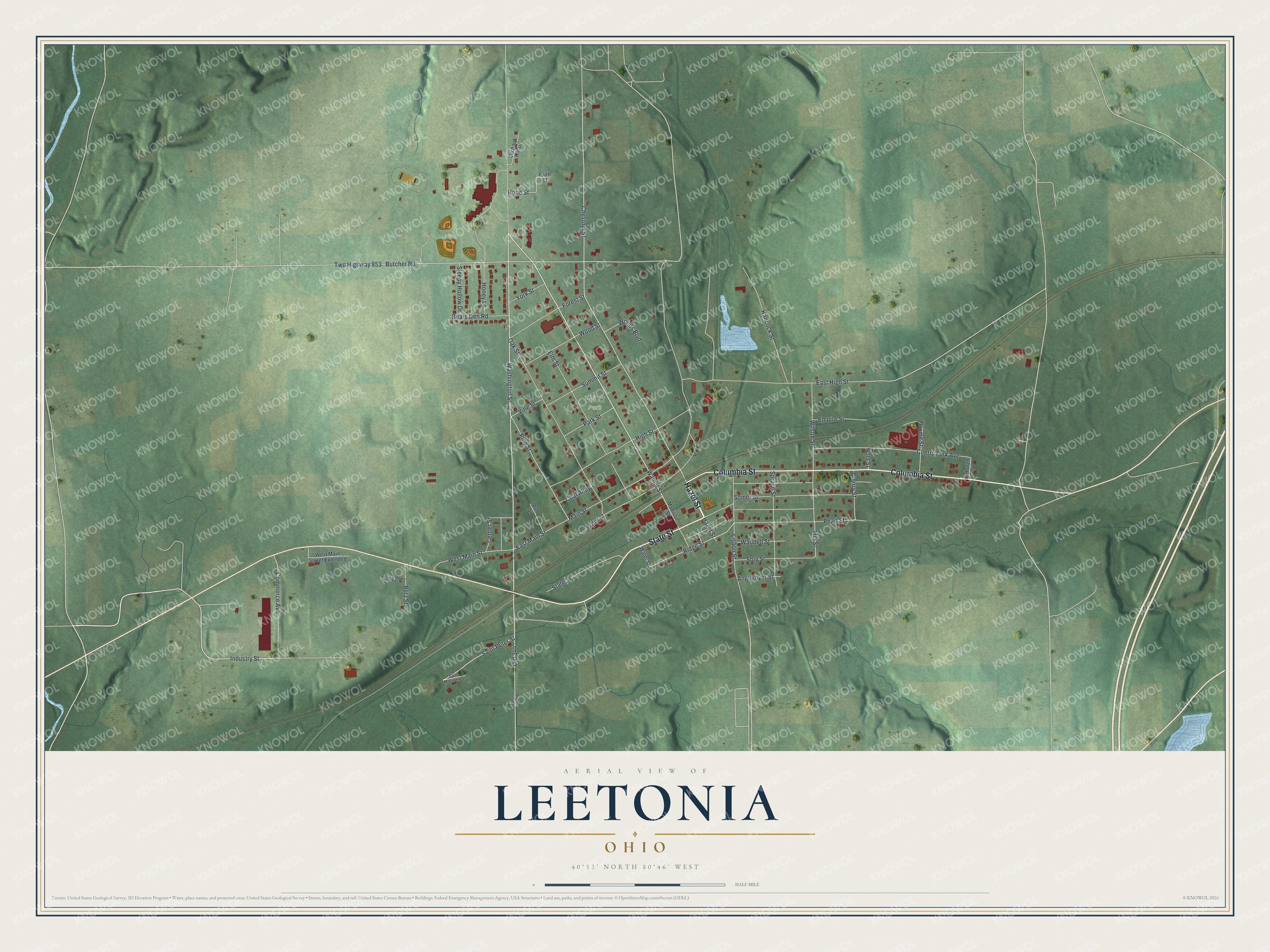
Created by KNOWOL in 2026, the print pairs green terrain with red buildings, pale roads and blue water. A cream border surrounds the view. The title panel reads AERIAL VIEW OF, LEETONIA, OHIO, with 40°53' NORTH 80°46' WEST below.
Hang it in a living room, office or entryway. It's a warm gift for someone who grew up near Main Street and now lives away. Open the preview and look for the block you'd point out to them. See sizes and frames for the Leetonia map.