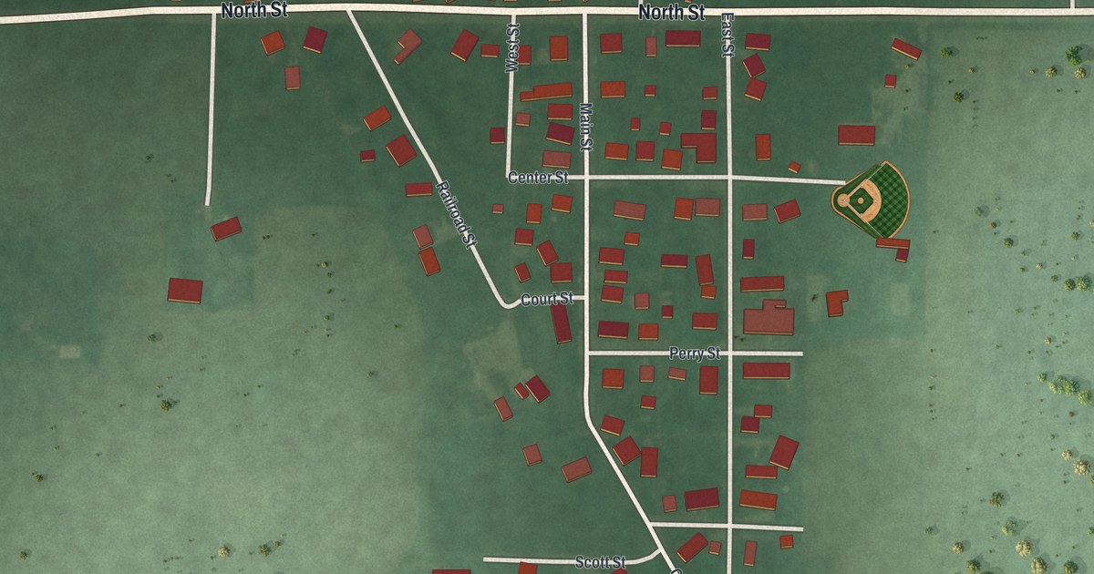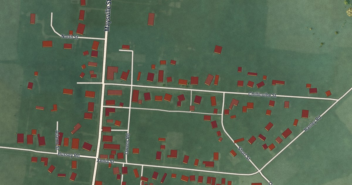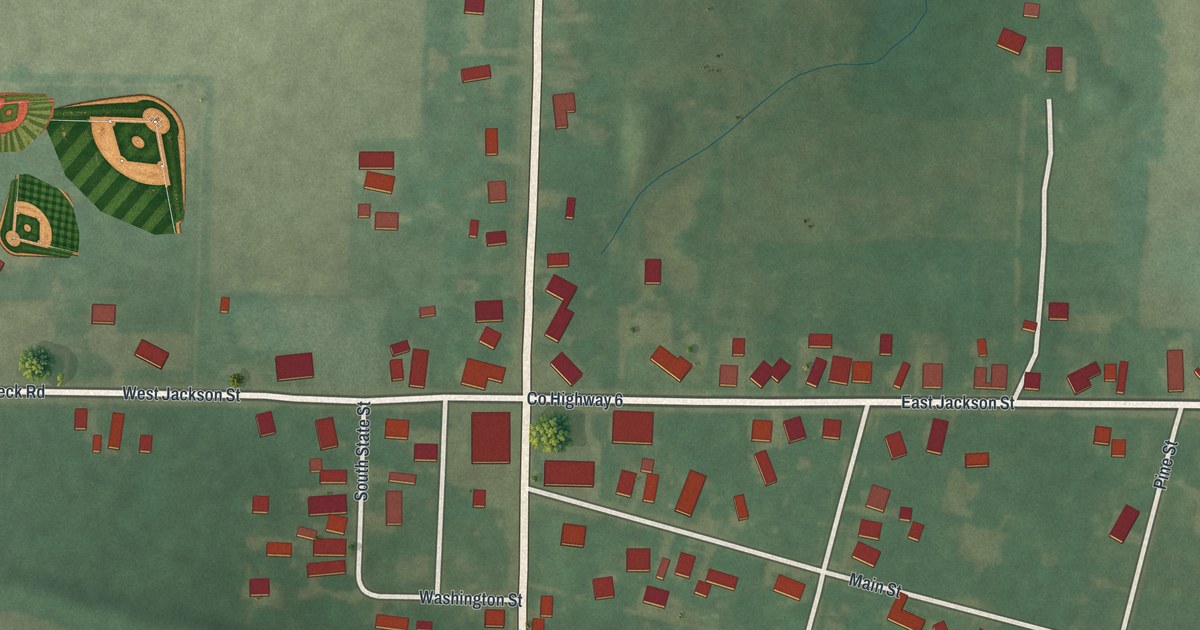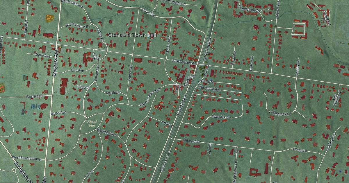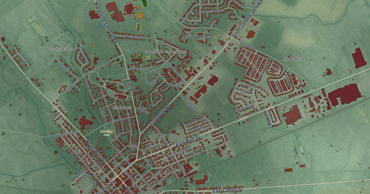
If you grew up in London or have family here, look for your block. This modern aerial map of London in Madison County, Ohio, has a vintage feel. Red buildings fill the town's streets, with green land stretching beyond them.
Main Street and High Street in London
On this map you'll find North Main Street, South Main Street, East High Street, West High Street, East Center Street, West Center Street, Elm Street, Lafayette Road, Park Avenue, London Terrace, Amherst Meadows, Sheffield Commons, and more. Each red shape is a building, so zoom in on the preview and look for yours.
London's role as the county seat goes back to its early days. The 1883 History of Madison County records a court session here on November 18, 1811. It calls London the newly laid out county seat. The court was the Court of Common Pleas. The Swetland House at 147 East High Street was added to the National Register of Historic Places in 1983, so East High Street is a good place to start looking.
East High Street and Elm Street on Your Wall
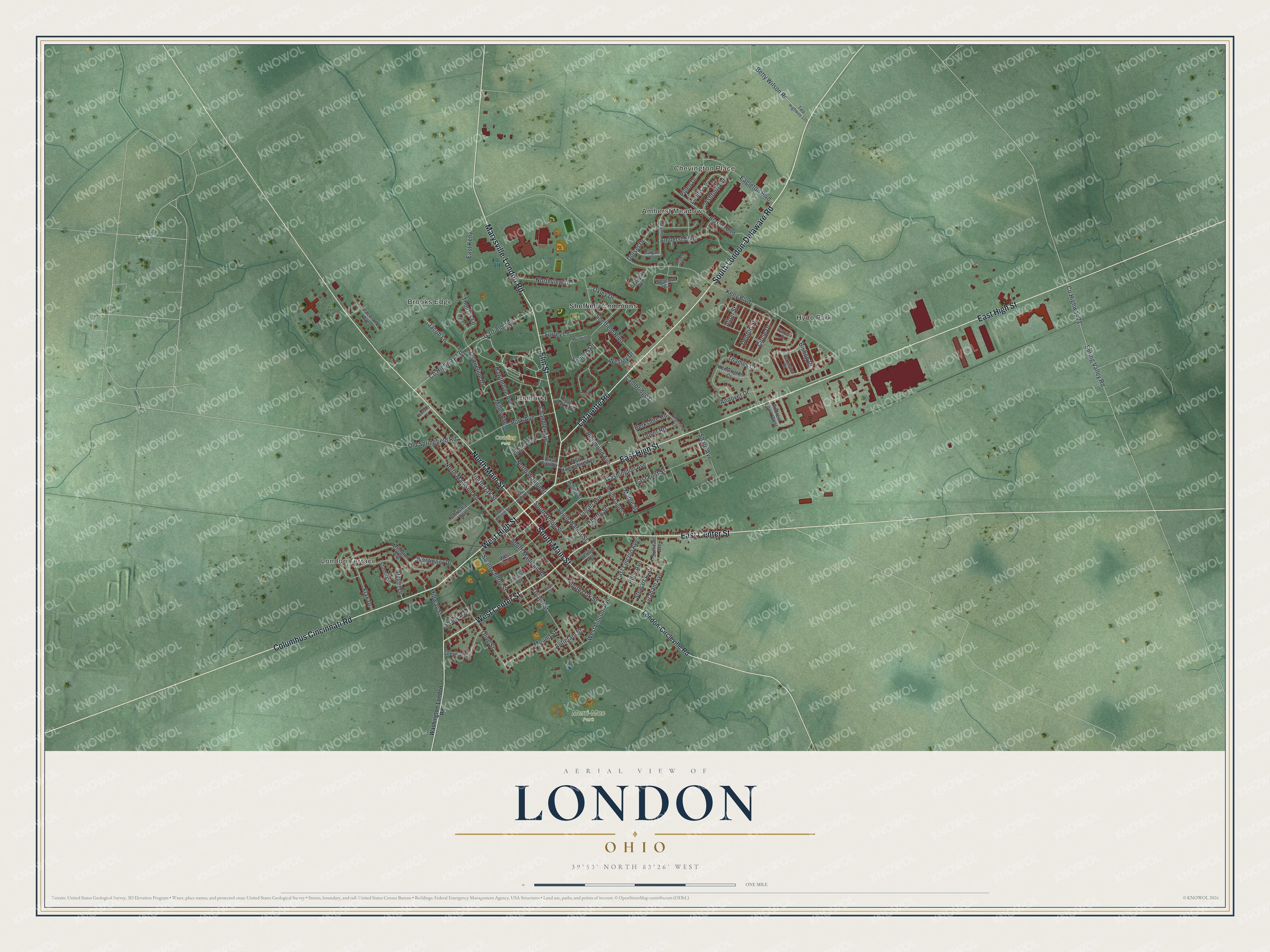
Created by KNOWOL in 2026 from public road and building data, this print pairs green terrain with red buildings and pale roads. A cream border surrounds the view. The title panel reads AERIAL VIEW OF, LONDON, OHIO, and 39°53' NORTH 83°26' WEST.
It's a good fit for a living room, office, or entryway. Give it to someone who grew up on East High Street or still has family in London Terrace. Open the preview to find a familiar block and keep London close. See sizes and frames for the London map.