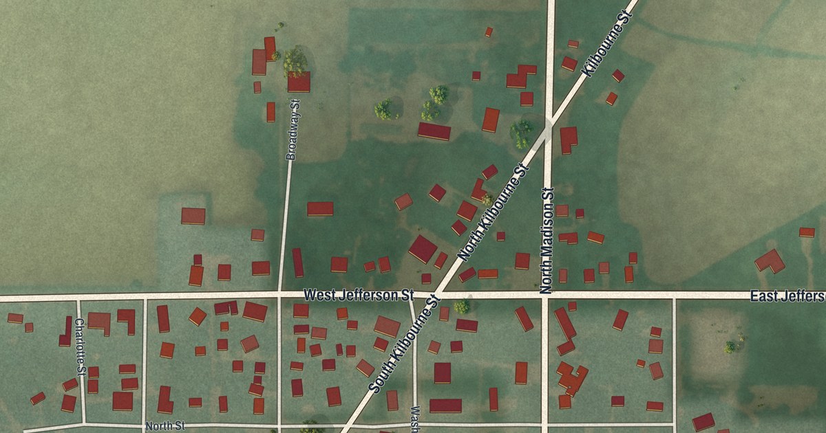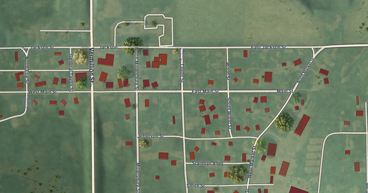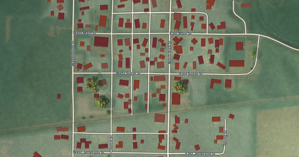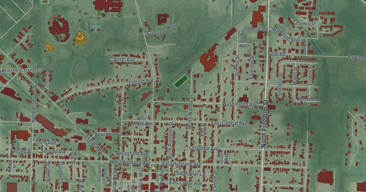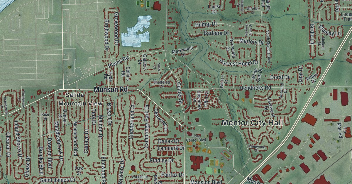
If you grew up in Mentor, look for your old block on this print. It's a modern aerial view of Mentor in Lake County, Ohio, made with modern data and a vintage feel. Red buildings fill the street grid, while blue water meets a long green shore.
Mentor Avenue and the Rose Capital
On this map you'll find Mentor Avenue, Center Street, Lakeshore Boulevard, Heisley Road, Munson Road, Reynolds Road, Tyler Boulevard, Hopkins Road, Bellflower Road, Mentor City Hall, Mentor Headlands, Arrowhead Beach, and more. Each red shape is a building, so zoom in on the preview and look for yours.
Mentor once grew roses by the millions. The Rose Capital of the Nation marker tells how the city earned that name. From the 1920s through the 1970s, more than a dozen growers raised about five million plants a year. The lake's effect on the climate helped, along with varied soils and plenty of water. The Civic Center Complex was once a huge rose field.
One grower, Joseph Kallay, received U.S. patent No. 10 for his rose, Blaze, in 1932. By the 1970s, rising land values and new building had reduced the nursery lands. The marker stands at 8537 Mentor Avenue, a street you can pick out on this map.
Mentor Headlands and the Streets of Home
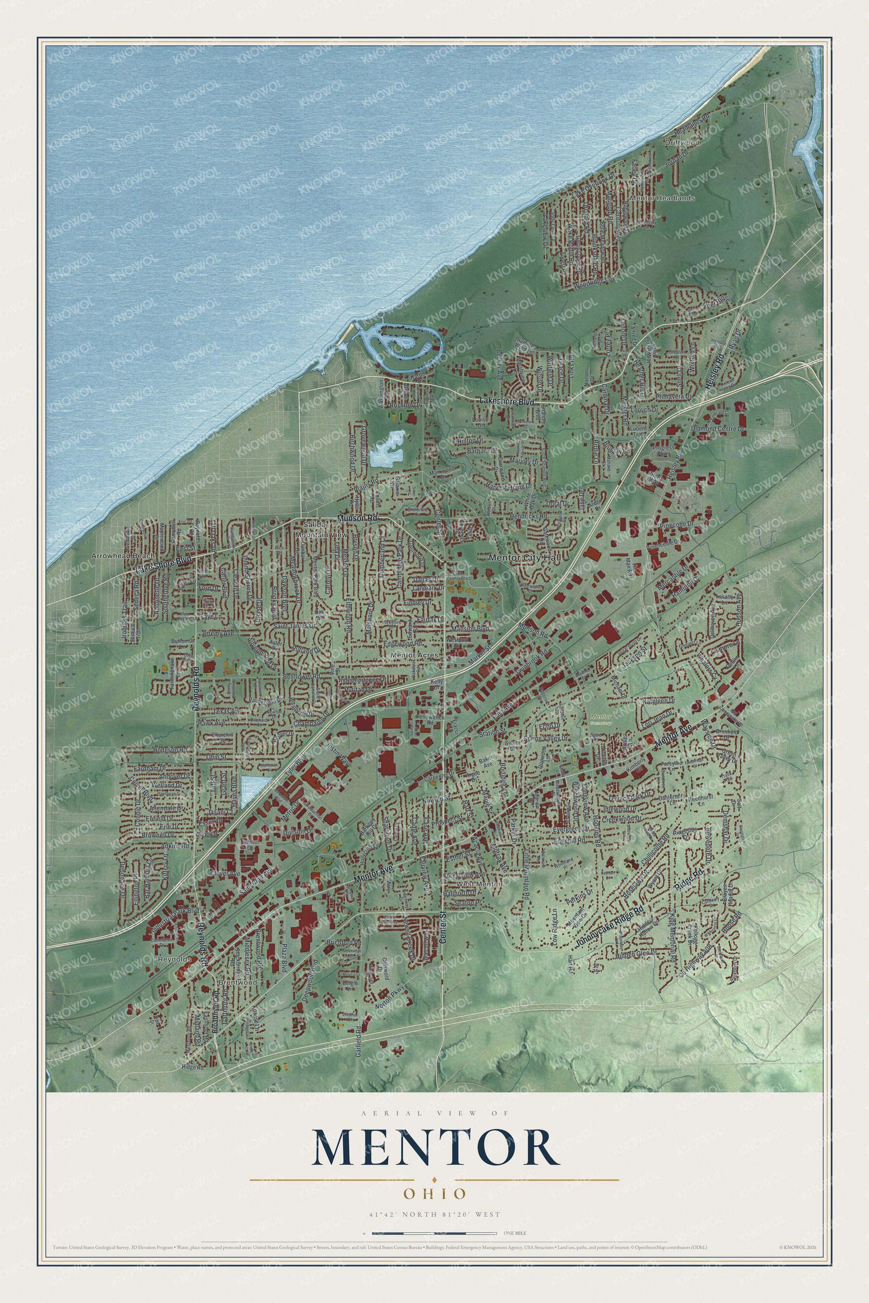
Created by KNOWOL in 2026, this print pairs soft green land with blue water and red buildings. A cream border surrounds the view. The title panel reads AERIAL VIEW OF MENTOR, OHIO, with 41°42' NORTH 81°20' WEST beneath it.
Hang it in a living room, home office, or entryway. It's a thoughtful gift for someone who grew up in Mentor Headlands or moved away from Mentor. Open the preview and take a closer look at the streets you know. See sizes and frames for the Mentor map.