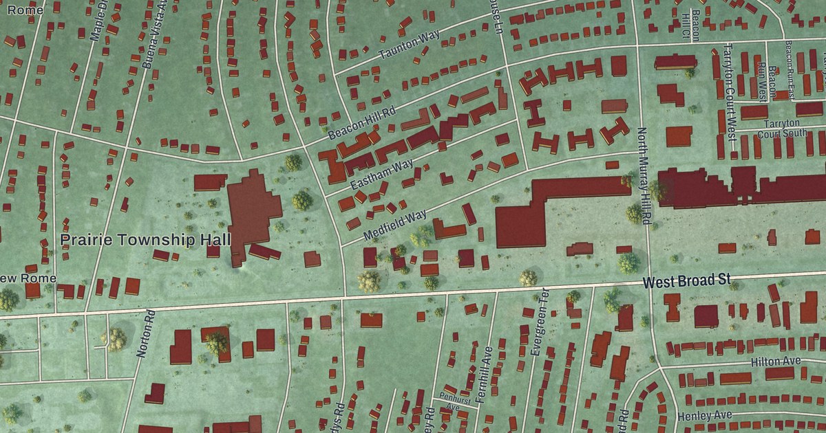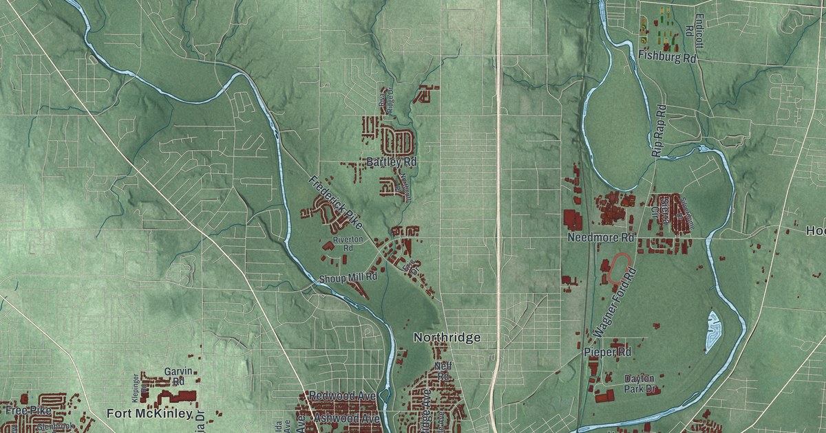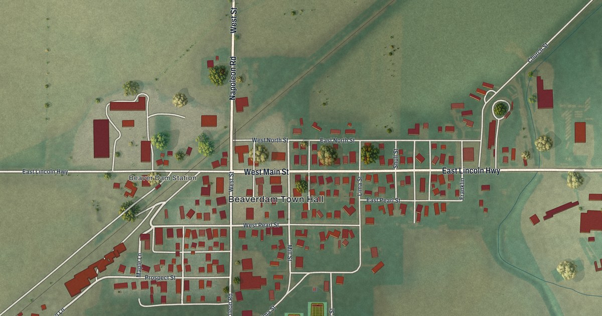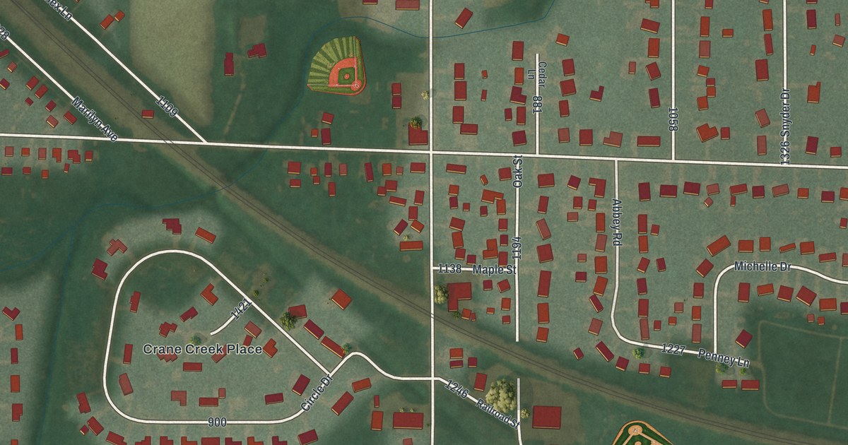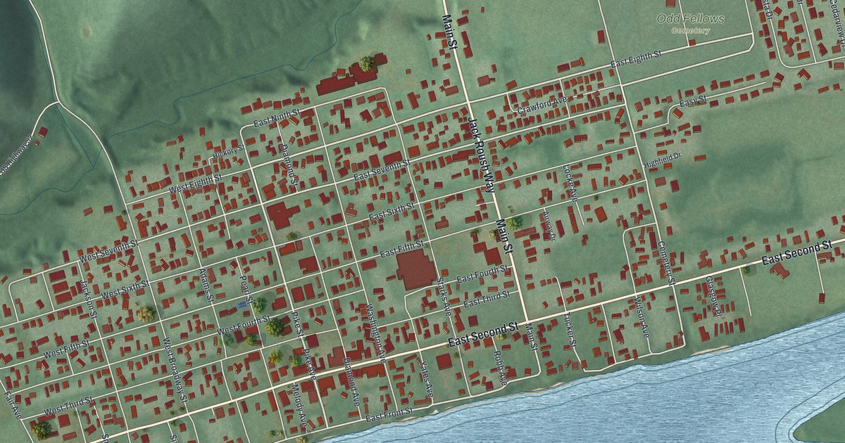
If you grew up on Second Street or East Front Street in Manchester, this map puts your river town on the wall. It's a modern aerial view of Manchester in Adams County, Ohio, made from modern data and given a vintage feel. The town's grid of streets fills the flat ground between the green hills and a wide blue river. A long island sits in the water off the east end of town, and a creek winds down through the hills on the left.
How Massie's Station became Manchester
On this map you'll find Main Street, Jack Roush Way, East Second Street, West Second Street, East Front Street, West Front Street, Pike Avenue, Pearl Street, Washington Avenue, Cemetery Street, Linda Vista Drive, Island Creek Road, Old US Highway 52, Odd Fellows Cemetery, and more. Each red shape is a building, so zoom in on the preview and look for yours.
Manchester is one of the first towns in Ohio. Nathaniel Massie founded it in 1791 as a base for his surveying work. The land was part of the Virginia Military District. Virginia kept this tract to pay the land bounties it owed its Revolutionary War soldiers. Many of the first settlers came from Kentucky and Virginia. A historical marker calls Manchester the fourth oldest settlement in Ohio. A marker telling that story stands where West Front Street meets Pearl Street.
The settlers built a stockade on the river bank, and people called it Massie's Station. It was the last stockade settlement built in Ohio. It kept the settlers safe until 1794. The river guarded the south side, and marshland lay to the west and north. The marker says three islands nearby gave people a safe place to go in bad times. The islands also had good bottomland for growing food. Look past East Second Street on the map and you'll see a long green island in the river.
River trade along Front Street
Manchester was also the site of the first court held in Adams County, in September 1797. Later, steamboats made the Ohio River the town's main road for trade. Manchester became an important port of call. Boats stopped for supplies and carried away farm goods. Manchester also made goods such as pottery, furniture and leather goods. The marker for that story stands at East Front Street and Pike Avenue.
From East Second Street to the hills above Manchester
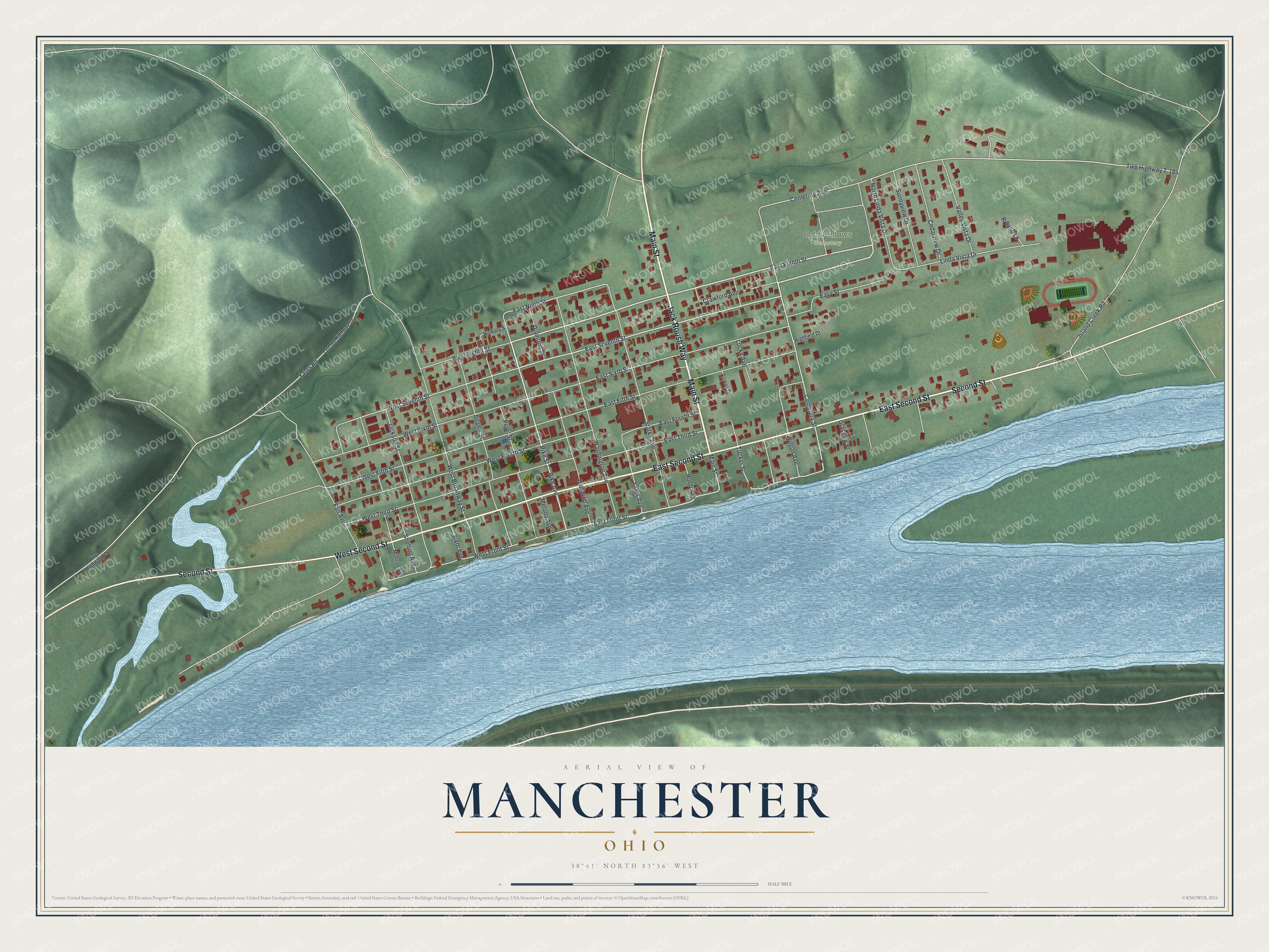
Created by KNOWOL in 2026, the print shows Manchester in soft greens and blues. Shaded hills rise above the town, the river runs wide below it, and the buildings are drawn in deep red. The title panel reads "Aerial View of Manchester, Ohio" with 38°41' North 83°36' West.
It fits a living room, a front hall or a home office. It's a good gift for someone who grew up near East Front Street, or for family who moved away and still think about the river. Open the preview and find your street. See sizes and frames for the Manchester map.