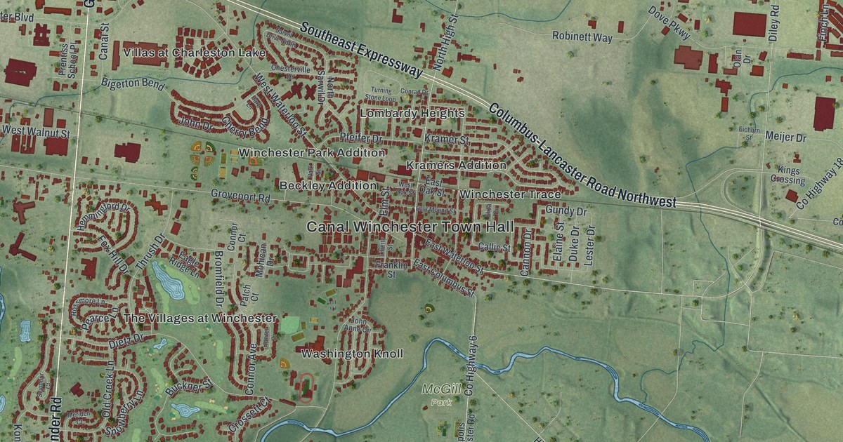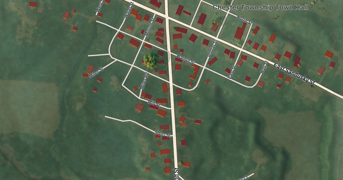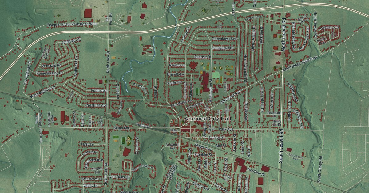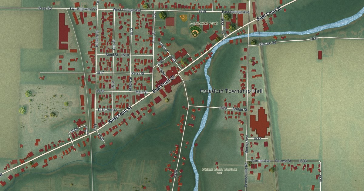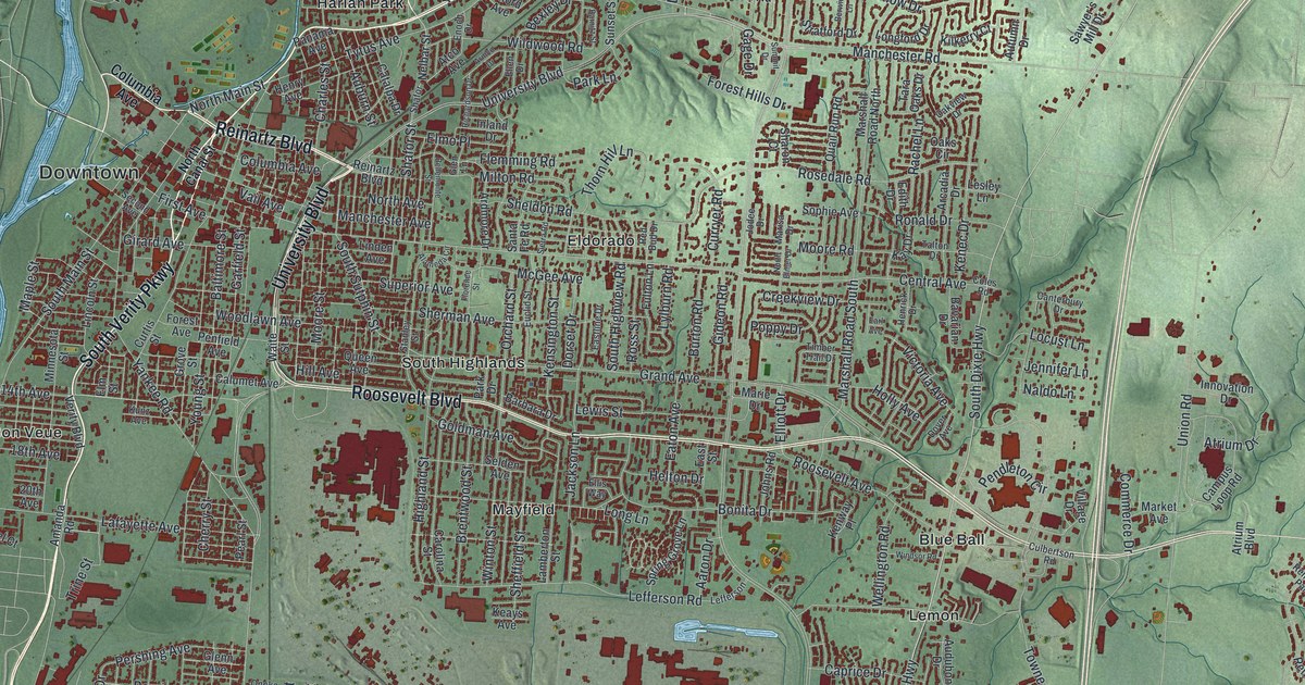
If you grew up in Middletown, went to school here, or still have family in North Middletown or South Highlands, this map gives you plenty to find. It's a modern aerial view of Middletown in Butler County, Ohio, made from modern data and given a vintage look. A blue river curves down the left side, and soft green hills fill the edges. In between, more than 31,000 buildings are marked in deep red, from Downtown out to Blue Ball and Oakland.
From Downtown to Blue Ball on Roosevelt Boulevard
Start at Downtown, on the left side of the sheet beside the river. Central Avenue heads east from there, past Eldorado, into the middle of town. Breiel Boulevard runs top to bottom through the center and crosses it. Farther south, Roosevelt Boulevard runs east through South Highlands to Blue Ball. From Blue Ball, Dixie Highway heads south past Lemon to Oakland, near the bottom edge.
Back downtown, North Verity Parkway follows the river up toward the top of the map. Tytus Avenue heads northeast into the north end, where Avalon, Rose Lawn, Harlan Park and North Middletown sit close together. South Verity Parkway runs the other way, with Bon Veue just beside it. Near the bottom left, Oxford State Road passes South Middletown and Oneida. There, Seneca, Navaho and Omaha Streets sit side by side. Many roads are labeled, and each red shape is a building, so zoom in on the preview and look for yours.
How the Miami-Erie Canal bed became Verity Parkway
Middletown has a good story about that parkway. On July 21, 1825, ground was first broken for the Miami-Erie Canal right here in Middletown. In time, the canal linked Cincinnati and Toledo. Crops and goods made in this part of Ohio could now reach world markets. More people moved to the region, and businesses grew. By the 1860s, railroads were taking its trade, and canal traffic slowly fell off. The canal closed on November 2, 1929. It closed in Middletown, the same place it started. That's all told on the Ohio historical marker for the canal.
The old canal bed didn't go away. It was turned into a highway, and that highway is Verity Parkway. The marker stands near the corner of Tytus Avenue and North Verity Parkway, just up and to the right of Downtown on the map. Find that corner, then follow the parkway along the river. You're following the line of the old canal through town.
For someone who knows Central Avenue and Verity Parkway
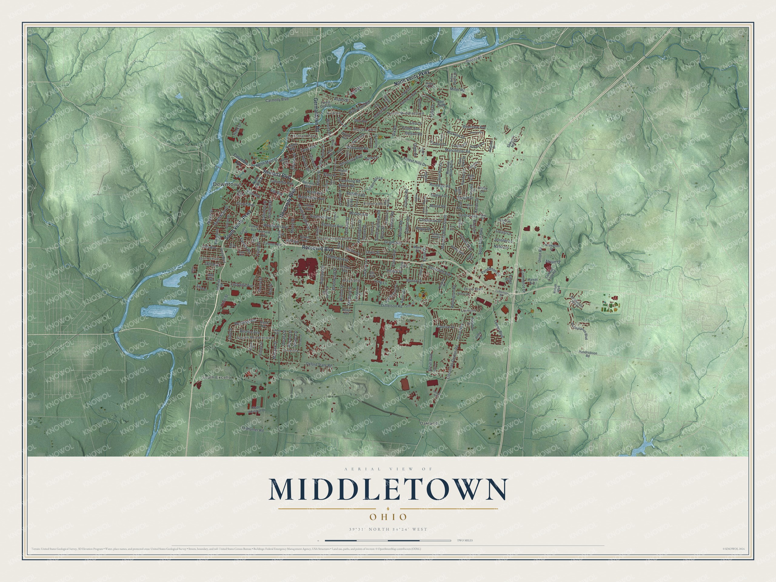
Created by KNOWOL in 2026, this map of Middletown sets red buildings on soft green ground. The shaded hills come from USGS elevation data, so the rise and fall around town is the real shape of the land. The title panel reads "Aerial View of Middletown, Ohio," with the coordinates 39°31' North, 84°24' West and a two-mile scale bar.
It suits an office, a den or a family room. It's a thoughtful gift for someone who grew up near Central Avenue, has family in North Middletown, or moved away but still knows the drive along Verity Parkway. Open the preview, zoom in and find the streets you know. See sizes and frames for the Middletown map.