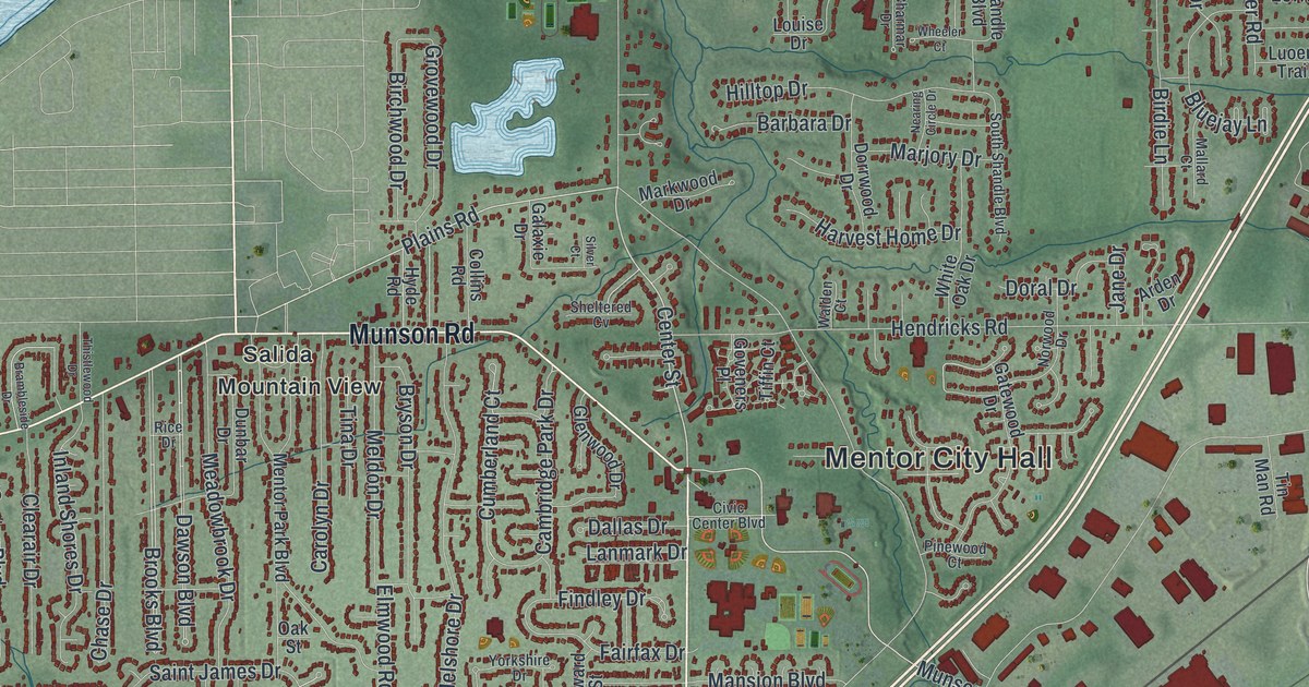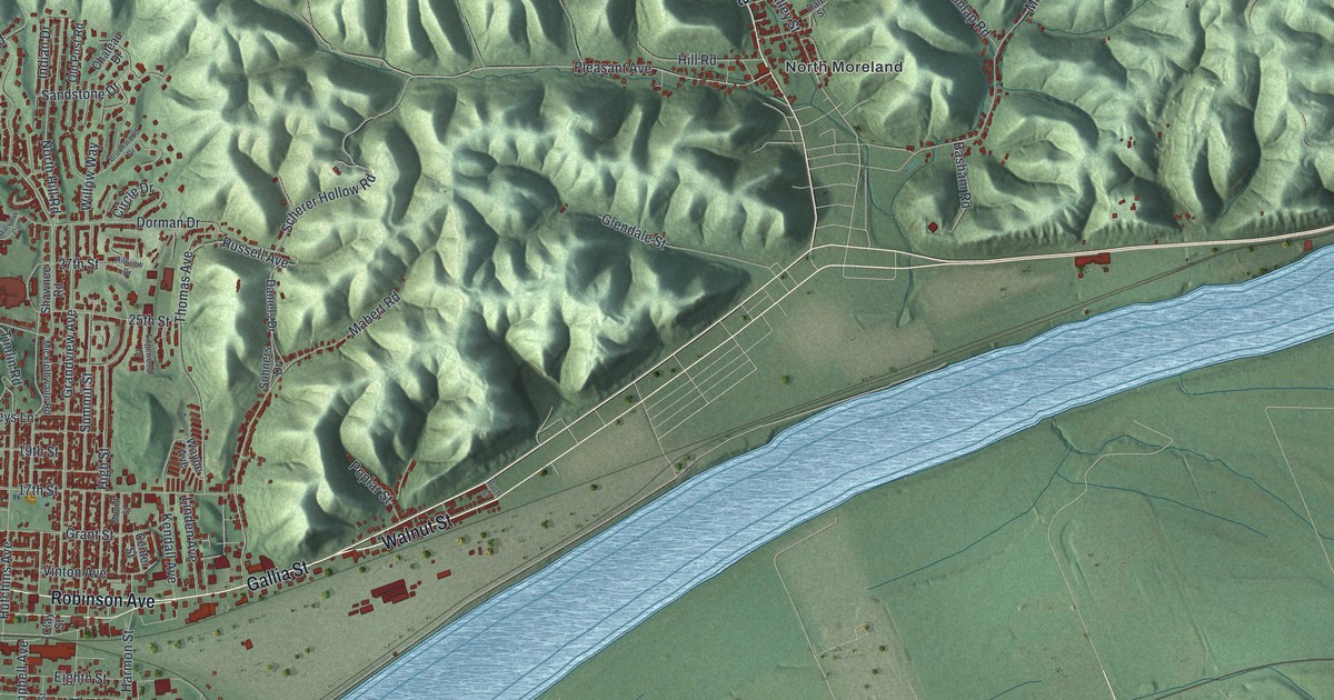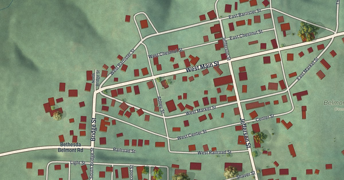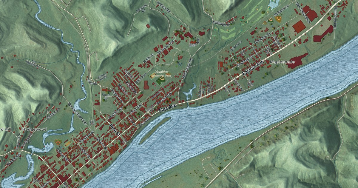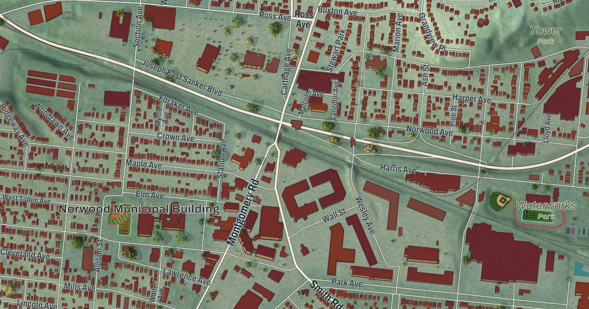
If you went to school on Sherman Avenue or grew up on a Norwood side street, this map was made with you in mind. It's a modern aerial view of Norwood in Hamilton County, Ohio, drawn from modern data and given a vintage feel. Thousands of small red buildings fill the grid, Montgomery Road cuts across the middle, and the Norwood Municipal Building sits near the center of the sheet.
Norwood High School on Sherman Avenue
On this map you'll find Montgomery Road, Carthage Avenue, Smith Road, Sherman Avenue, Edwards Road, Norwood Avenue, Williams Avenue, Harris Avenue, Park Avenue, Joseph East Sanker Boulevard, Millcrest Park, Waterworks Park, Tower Park, Dorl Field, and more. Each red shape is a building, so zoom in on the preview and look for yours.
Norwood's high school started with a vote. In 1910, voters approved a bond to pay for it. The site was seven and a half acres of an old orchard on Sherman Avenue. The school opened in 1914. Students took regular classes, plus home economics, shop and business courses. More students kept coming, so the town kept building. An east wing came in 1924, a field house in 1927 and a west wing in 1931. In 1950, a technical building gave Norwood one of the first vocational programs in the area. The Ohio historical marker calls the school a source of community pride. Over the years it has served as a high school, a junior high and a middle school.
The Norwood Municipal Building on Montgomery Road
Norwood's city hall has its own place in history. The Norwood Municipal Building stands at 4645 Montgomery Road. It was added to the National Register of Historic Places in 1980. On the map, its name is printed near the center of the sheet, right on Montgomery Road.
Keep Montgomery Road and Sherman Avenue Close

Created by KNOWOL in 2026, this print shows Norwood's streets and buildings in deep red over soft green hills, with parks and ball fields tucked between the blocks. The title panel reads "Aerial View of Norwood, Ohio" with the coordinates 39°10' North 84°27' West.
It suits a living room, a hallway or a home office. It's a good gift for a Norwood High School grad, or for anyone who grew up near Millcrest Park and has since moved away. Open the preview and find your street. See sizes and frames for the Norwood map.