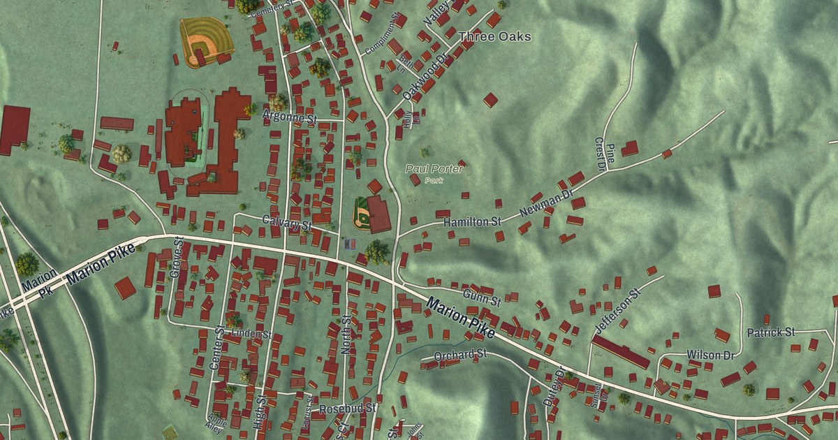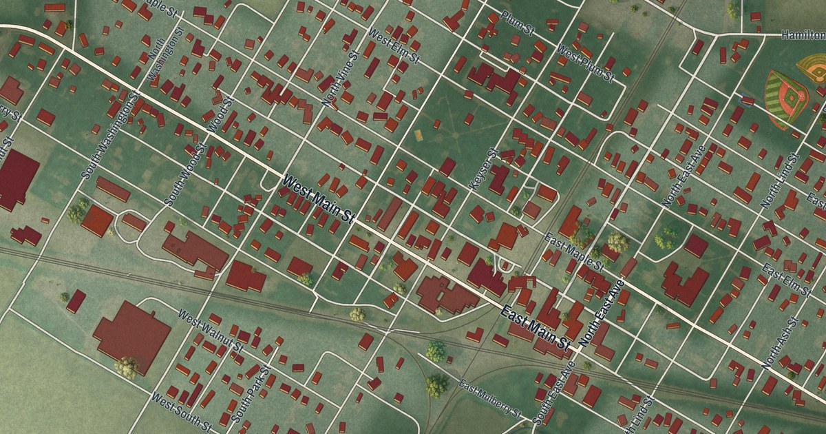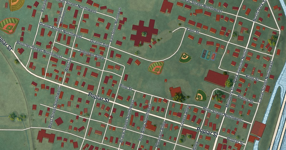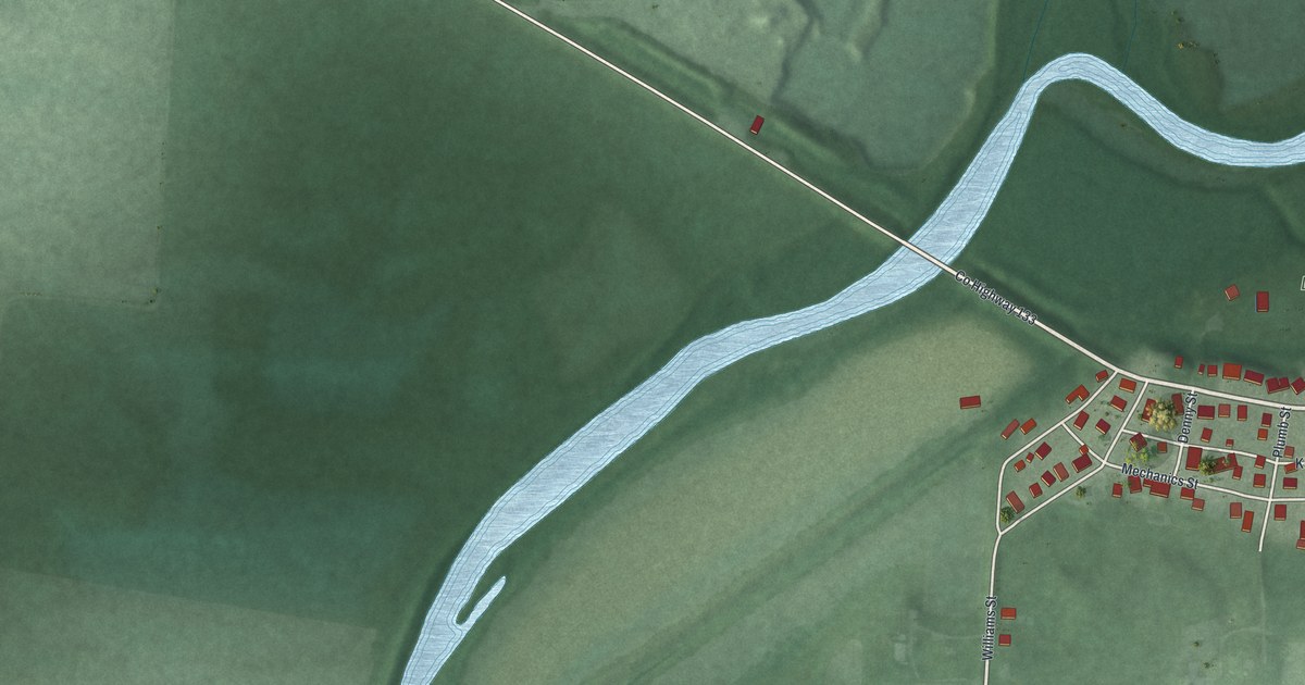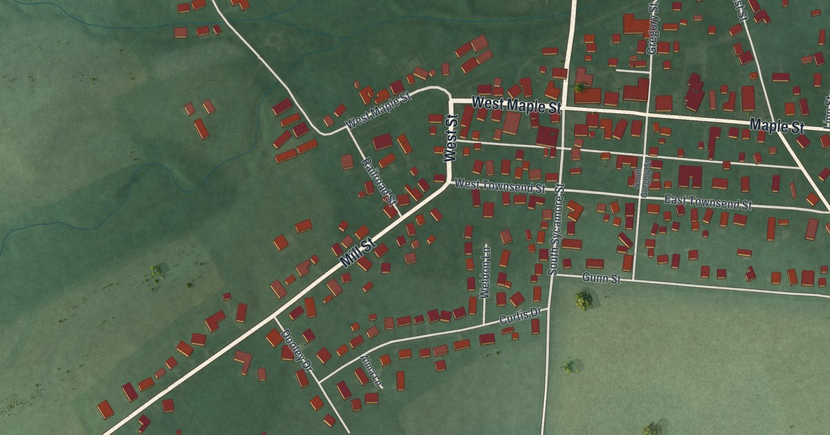
If you grew up in North Lewisburg or still have family on Maple Street, this print was made with you in mind. It's a modern aerial view of North Lewisburg in Champaign County, Ohio, built from modern data and given a vintage feel. Red buildings crowd the center where Maple Street and Sycamore Street cross. Newer streets spread out along Mill Street. Green farm fields and small creeks wrap around the whole village.
The Friends Church on Winder Street
On this map you'll find West Maple Street, East Maple Street, North Sycamore Street, South Sycamore Street, Mill Street, Winder Street, West Elm Street, East Townsend Street, Railroad Street, Walnut Street, Community Circle, Glendenning Road, Meadow Boulevard, and more. Each red shape is a building, so zoom in on the preview and look for yours.
Some of the first settlers in Rush Township were Quakers, also called the Religious Society of Friends. Most came from Pennsylvania and North Carolina. At first they met for worship in their own homes. In 1842 they built a small wooden meeting house on the corner of Winder Street and West Elm Street. The Friends Church that stands there now replaced it in the 1870s. The church wasn't a stop on the Underground Railroad. But it stood behind local Abolitionists who helped people escape slavery and reach Canada. A sickness in the winter of 1850 to 1851 hit the members hard, and several Quaker families moved on to Iowa. The last service was held on October 26, 1997. After that, the church was given to the village. That's all from the Ohio historical marker on the site. On the map, find the spot where Winder Street meets West Elm Street, and look at the southwest corner.
Where Champaign, Logan and Union Counties Meet
In 1891, Henry Howe wrote that North Lewisburg sat where Champaign, Logan and Union counties meet. Fittingly, the town paper was called the Tri-County Free Press. Howe said rich farm country surrounded the village, and folks paid special attention to raising stock. The town had a bank and five churches, one of them the Friends. In 1880, 936 people lived here. The 2020 census counted 1,636. Those same farm fields still fill the edges of the map.
North Lewisburg From Mill Street to Maple Street

Created by KNOWOL in 2026, this print shows North Lewisburg from above. Soft green fields, thin blue creeks and pale roads surround the red buildings of the village. The title panel reads "Aerial View of North Lewisburg, Ohio" with the coordinates 40°13' North 83°33' West.
It fits well in a living room, a kitchen, a hallway or a home office. It's a good gift for someone who grew up near the old Friends Church on Winder Street, or for a family member who moved away and still talks about Maple Street. Open the preview and zoom in to find the streets you know. See sizes and frames for the North Lewisburg map.