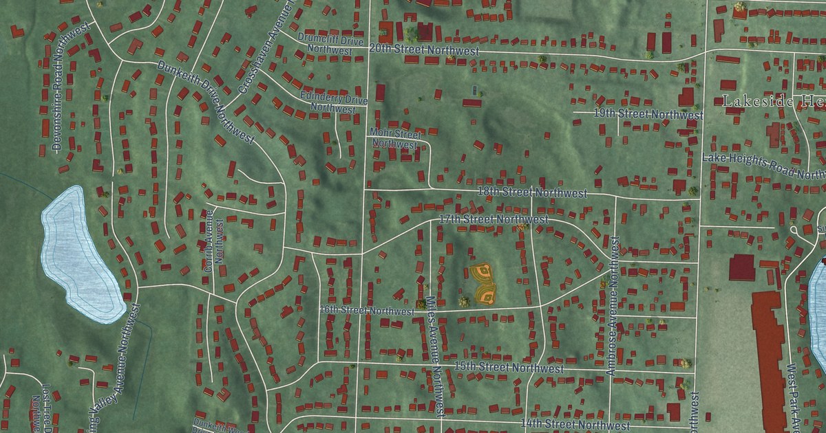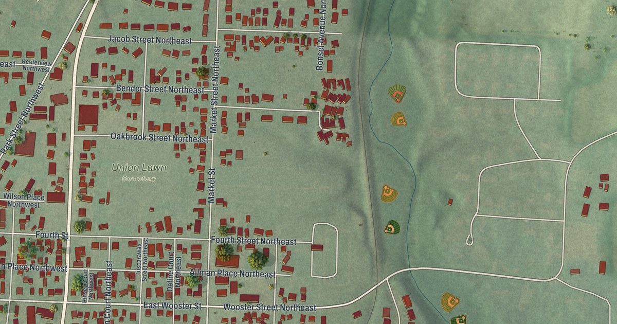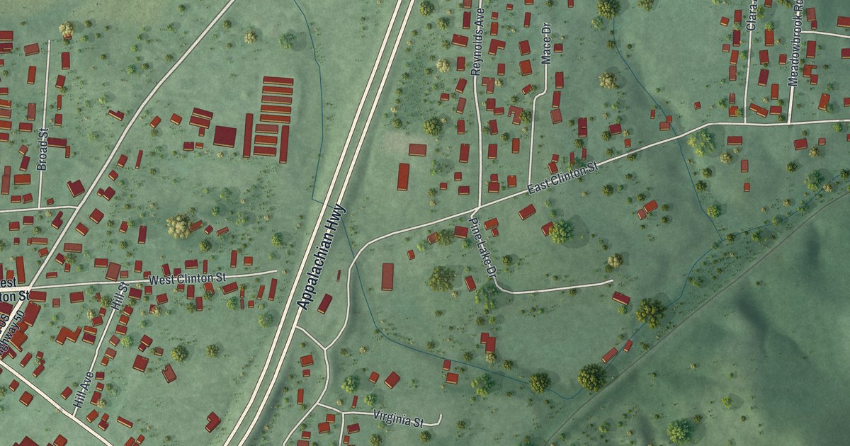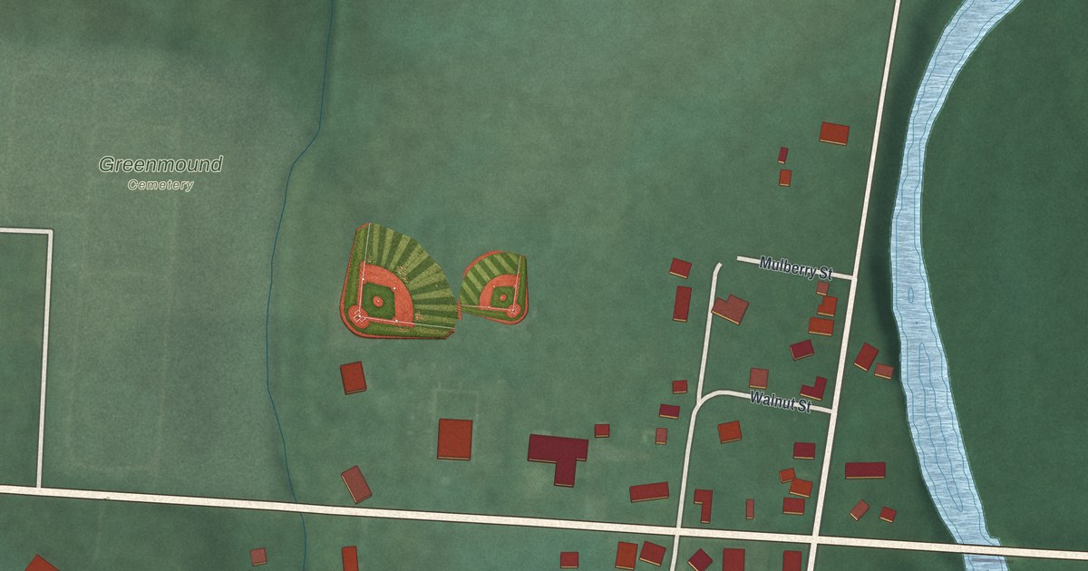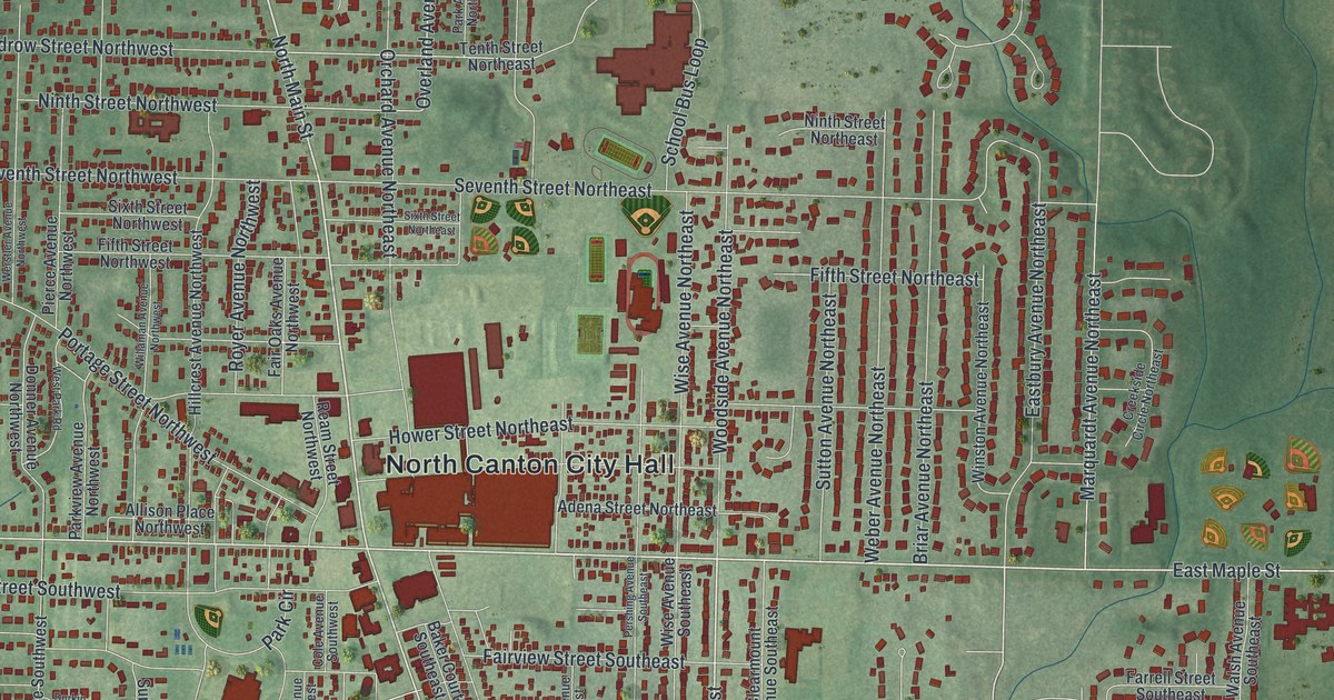
This beautifully detailed map of North Canton, Ohio was created in 2026 using aerial imagery combined with modern topographical, census, street and landmark data. It’s a one-of-a-kind view of North Canton that combines accurate data with a vintage aesthetic. The map shows every building in its true location, many of the roads carry their names, and the shaded topographic relief shows the shape of the land.
Explore an aerial view of North Canton, Ohio
On the map you’ll find North Canton City Hall, The Knolls, Hoover Park, Price Park, Orchard Acres, and Arrowhead Golf Club, along with Tower Terrace, Market Avenue North, East Maple Street, North Main Street, Applegrove Street Northwest, Whipple Avenue Northwest, and more. If you look closely you can even find your house accurately drawn in its correct location. Zoom in on the preview to look for yours.
Take a closer look at the North Canton map
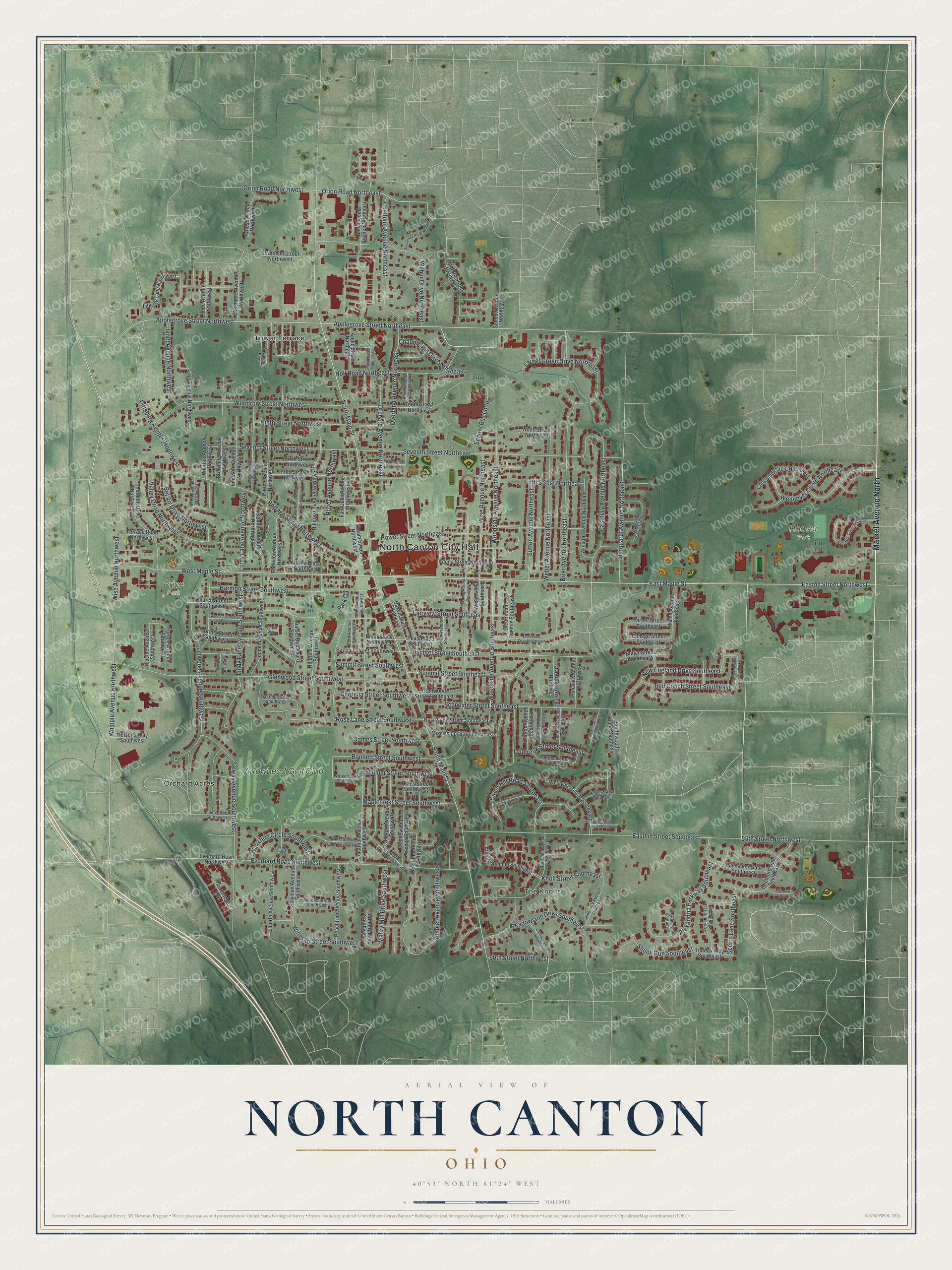
Street and place names on the North Canton, Ohio map
These names are printed on the map of North Canton, Ohio.
Places: North Canton City Hall, The Knolls, Hoover Park, Price Park, Orchard Acres, Tower Terrace and Arrowhead Golf Club.
Streets and roads: Market Avenue North, East Maple Street, North Main Street, Applegrove Street Northwest, Whipple Avenue Northwest, Woodside Avenue Southeast, Applegrove Street Northeast, Orion Road Northeast, South Main Street, West Maple Street, Valley Drive Northwest, Overland Avenue Northeast.
More street names, A to Z
50th Street Northwest, 55th Street Northwest, Adena Street Northeast, Alexandria Parkway Southeast, Allison Place Northwest, Ambler Avenue Southwest, Apple Street Northeast, Arbury Avenue Southeast, Arnesby Circle Northwest, Auburn Avenue Southeast, Bachtel Street Southeast, Bachtel Street Southwest, Baker Court Southeast, Beechwood Avenue Northeast, Bel Air Drive Northwest, Bonnett Street Southwest, Briar Avenue Northeast, Browning Avenue Northwest, Butler Street Southeast, Cambridge Avenue, Carlton Avenue Northwest, Castlewood Avenue Southwest, Chadford Gate Southeast, Chapple Hill Drive Northeast, Chatham Avenue Northeast, Cheswold Circle Northeast, Church Street Southwest, Circle Hill Road Southeast, Clearmount Avenue Southeast, Clinton Avenue Southeast, Cole Avenue Southwest, College Street Southeast, Cordelia Street Southwest, Creekside Circle Northeast, Donner Avenue Northwest, Donner Avenue Southwest, Durkin Way, Eastbury Avenue Northeast, Easthill Street Southeast, Easton Street Northwest, Edgewood Street Southeast, Elberta Avenue Southwest, Ellesmere Avenue Northwest, Emerson Avenue Northwest, Everhard Road Northwest, Everhard Road Southwest, Fair Oaks Avenue Northwest, Fairview Street Southeast, Farrell Street Southeast, Fifth Street Northeast, Fifth Street Northwest, Ford Avenue Southwest, Foster Avenue Southeast, Furbee Avenue Southwest, Glendale Street Southwest, Glenmar Oval, Glenwood Street Southeast, Glenwood Street Southwest, Halifax Way Southeast, Hallum Street Southwest, Harmon Street Southwest, Harmony Lane Southwest, Heatherwood Street Southwest, Heiser's Way Southwest, Hillbrook Avenue Southeast, Hillcrest Avenue Northwest, Hillcrest Avenue Southwest, Hines Street Southwest, Holl Road Northeast, Hower Street Northeast, James Street Southwest, Janet Avenue Northwest, Jonathan Avenue Southwest, Knoll Street Southeast, Lancaster Gate Southeast, Laurel Green Drive Northeast, Liberty Lane Northwest, Linda Street Southwest, Lindy Lane Avenue Northwest, Lindy Lane Avenue Southwest, Linwood Avenue Southwest, Lipton Avenue Southwest, Lois Avenue Northwest, Lorena Street Southwest, Lucille Avenue Southwest, Lupe Avenue Northwest, Lynbrook Street Southeast, Mabry Mill Drive Southwest, Maplecrest Street Southwest, Marquardt Avenue Northeast, Meadowlane Drive Southwest, Mississippi Street Southeast, Morello Street Southwest, New England Drive Southeast, Ninth Street Northeast, Ninth Street Northwest, Northfield Avenue Southeast, Oakridge Street Southwest, Oakwood Street Southeast, Orchard Avenue Northeast, Orchard Hill Drive Southwest, Orion Road Northwest, Overridge Avenue Northwest, Overridge Avenue Southeast, Park Avenue Northeast, Park Circle, Parkview Avenue Northwest, Pasadena Boulevard, Peachtree Avenue Southwest, Pearl Place Southeast, Pearl Place Southwest, Pear Street Northeast, Penny Street Southeast, Pershing Avenue Southeast, Pierce Avenue Northwest, Pilgrims Knob Southeast, Pineview Avenue Northwest, Pittsburg Avenue Northwest, Pleasantview Avenue Southeast, Portage Street Northwest, Radford Street Northeast, Ream Street Northwest, Red Coach Street Southeast, Reed Avenue Northwest, Rogwin Circle, Rose Lane Street Southeast, Rose Lane Street Southwest, Rosewood Circle Southeast, Royer Avenue Northwest, Ruth Avenue Southwest, Salway Avenue Southwest, Schneider Street Southeast, School Avenue Northeast, School Bus Loop, Seventh Street Northeast, Seventh Street Northwest, Sheraton Drive Northwest, Shiloh Run Southeast, Sixth Street Northeast, Sixth Street Northwest, Southwoods Lane Southeast, Sperry Lane Southeast, Stayman Avenue Southwest, Stratavon Street Northwest, Summit Street Southeast, Summit Street Southwest, Sunford Avenue Southeast, Sunnyfield Road Northeast, Sunset Boulevard Southwest, Sutton Avenue Northeast, Tenth Street Northeast, Terrace Road Northwest, Vincent Road Southeast, Walsh Avenue Southeast, Watkins Street Southwest, Weber Avenue Northeast, Wendover Circle Northeast, Werstler Avenue Northwest, Westfield Avenue Southwest, West Park Road, Westview Circle Southeast, Whittier Avenue Northwest, Wilbur Drive Northeast, Wilkshire Circle Southwest, Willaman Avenue Northwest, Winesap Street Southwest, Winston Avenue Northeast, Wise Avenue Northeast, Wise Avenue Northwest, Wise Avenue Southeast, Woodrow Street Northwest, Woodside Avenue Northeast, Wynstone Circle Northeast, Yorkshire Trce Southeast.
See the North Canton, Ohio map on a wall
The North Canton map as an 18 x 24 inch print in a black frame.

This beautifully detailed map of North Canton makes an attractive addition to your office, library, or den, and it can even be used to teach children the geography and history of the area. It also makes a great gift for someone who left North Canton and still calls it home. When you’re done exploring, click here to get your copy of the North Canton map.