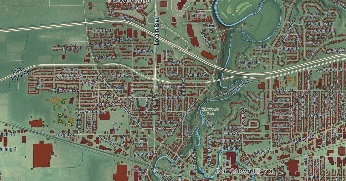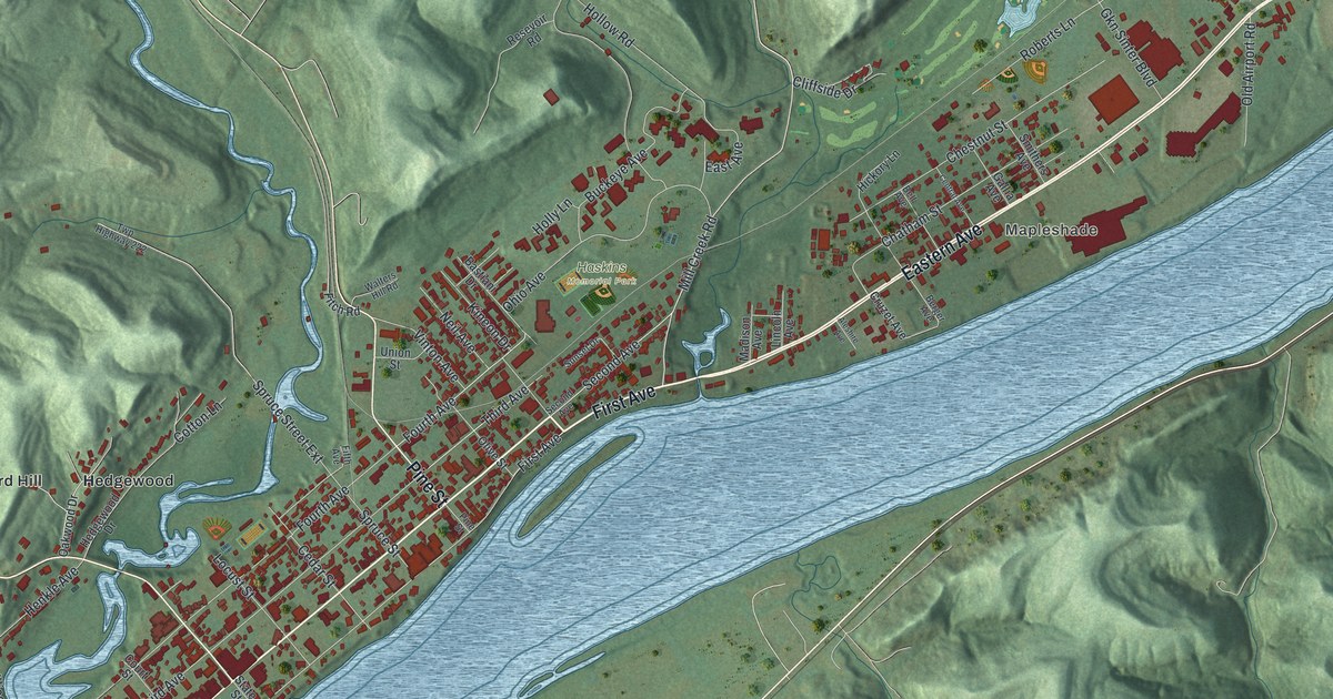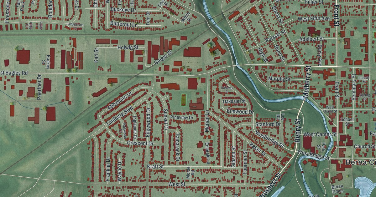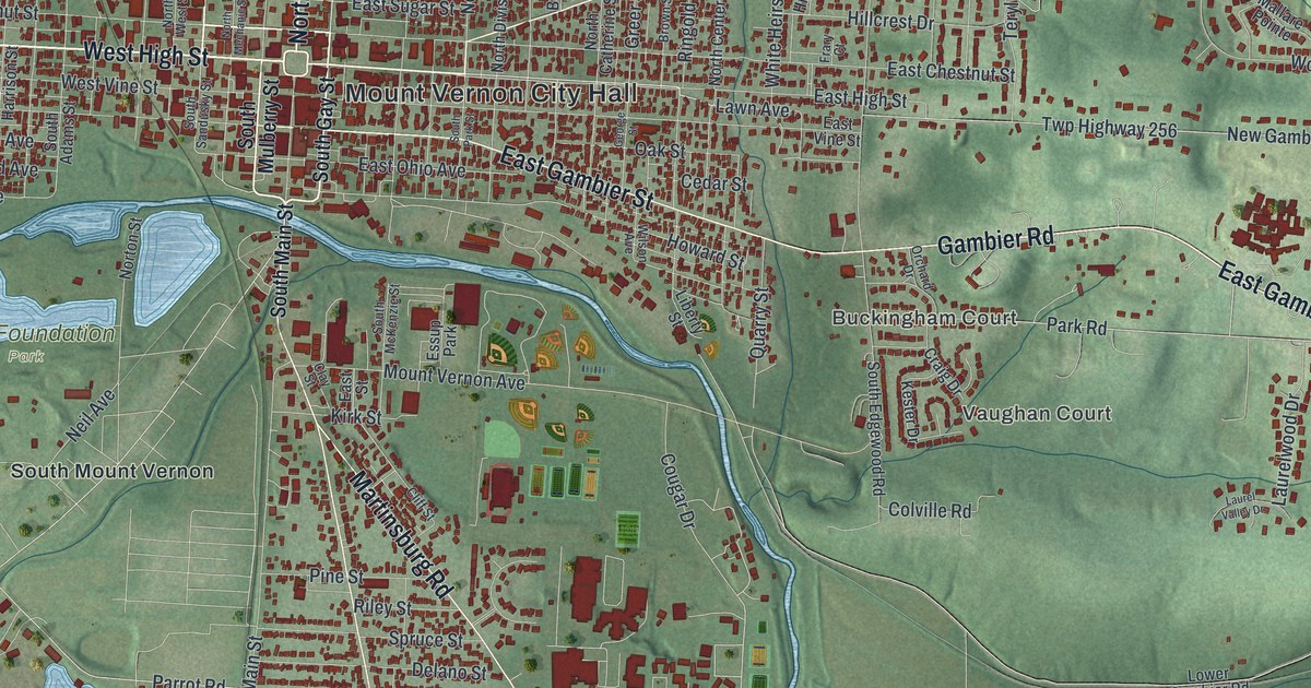
If you grew up in Mount Vernon, or still have family in North Mount Vernon or South Mount Vernon, this map has plenty for you to find. It's a modern aerial view of Mount Vernon in Knox County, Ohio, built from modern data and finished with a vintage look. More than 10,000 buildings are drawn in deep red, packed tight around the downtown streets. A wide blue river curves along the west and south sides of town. Green shaded hills roll out from there in every direction.
From Mount Vernon City Hall to Ariel-Foundation Park
Start in the middle of town, where North Main Street meets West High Street. Mount Vernon City Hall is printed right beside that corner. East High Street heads east, and Coshocton Road splits off to the northeast. It crosses Vernonview Drive and runs out the top right corner. Now go north. North Main Street and North Sandusky Street climb away from downtown. Follow Wooster Road up past Mound View Cemetery and you'll reach North Mount Vernon.
Come back to the middle and head south on South Main Street. West Gambier Street and East Gambier Street cross it just before the river. Past the bridge, Ariel-Foundation Park sits to the west beside a string of pale blue lakes. South Mount Vernon and Pittsburgh Avenue are just below it. Newark Road runs south toward Blackjack Road. Martinsburg Road heads southeast from Newark Road. Fairway Lane meets it near the bottom of the sheet, and Wedgewood is farther south. Many roads are labeled, and each red shape is a building, so zoom in on the preview and look for yours.
Dr. Jane Payne's office on South Main Street
Dr. Jane Payne kept her office at the northwest corner of South Main and West Gambier streets. Her family came from Bristol, England, in 1825. Her father was an Episcopal priest who settled in Mount Vernon. Jane's eyesight was poor, and childhood diseases and injuries left her with lasting health problems. She still made up her mind to become a doctor. She started by studying with Dr. John W. Russell here in town. In 1861, she graduated first in her class at the Woman's Medical College of Pennsylvania in Philadelphia. It was only the school's ninth class.
Many people didn't trust women doctors then. Dr. Payne practiced anyway, from 1861 until 1882. The Ohio historical marker for her says she cared about keeping the town clean and about caring for the poor. She died of cancer in 1882. To find her corner, follow South Main Street down from the middle of town to West Gambier Street. She's buried in Mound View Cemetery, up along Wooster Road near the top of the sheet.
For anyone who knows South Main Street and Coshocton Road
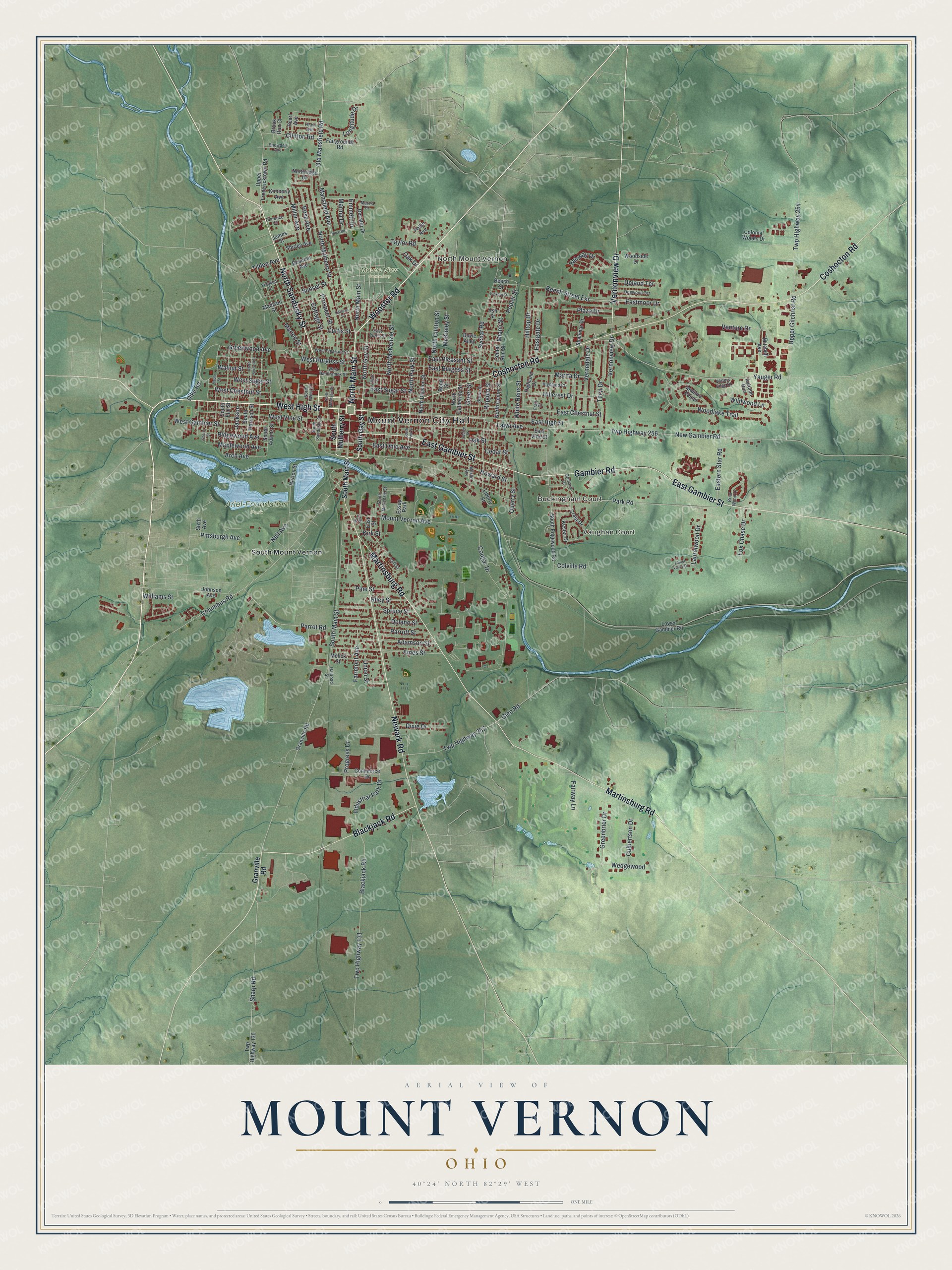
Created by KNOWOL in 2026, this Mount Vernon map would hang well in an office, a den or a kitchen. The green hills are shaded from USGS elevation data, and the red shapes are buildings. The title panel reads "Aerial View of Mount Vernon, Ohio," with the coordinates 40°24' North, 82°29' West and a one-mile scale bar.
It's a thoughtful gift for someone who grew up in Mount Vernon, has family near Ariel-Foundation Park, or moved away and still calls Knox County home. Open the preview, zoom in on South Main Street to find Dr. Payne's corner, then look for your own street. See sizes and frames for the Mount Vernon map.