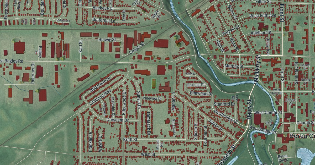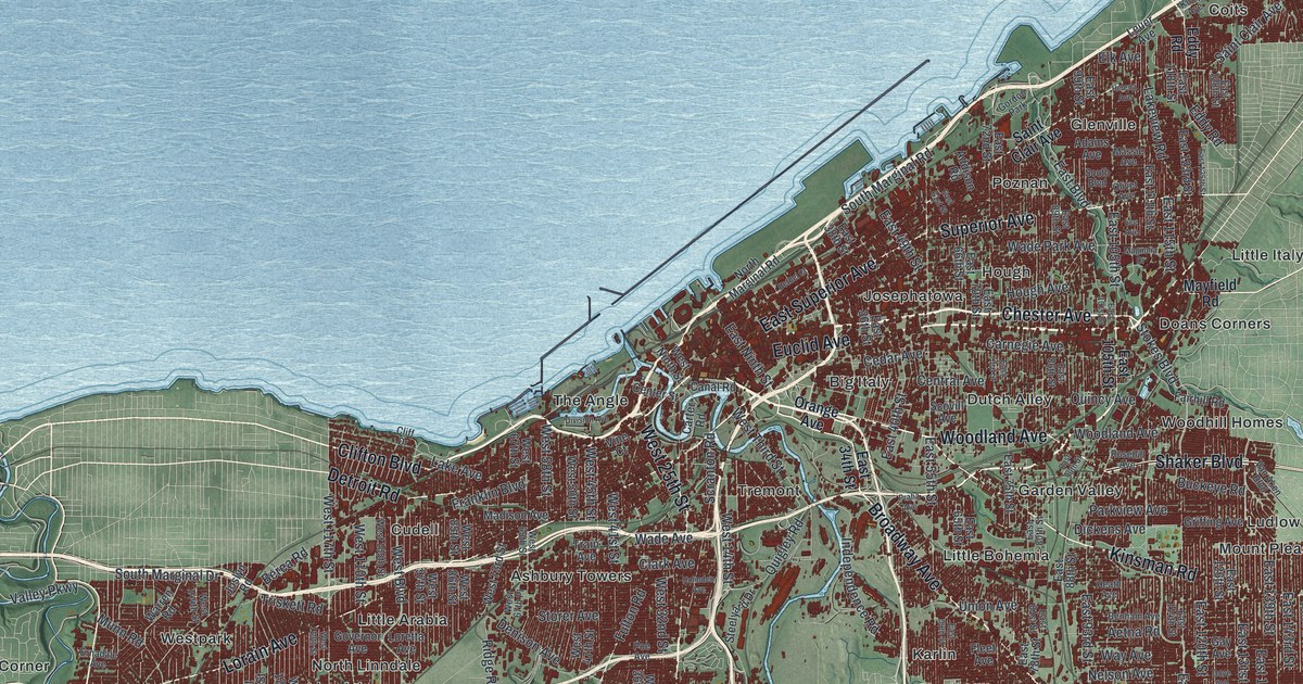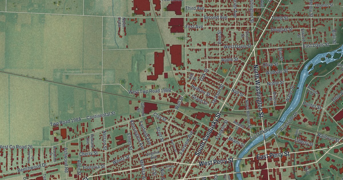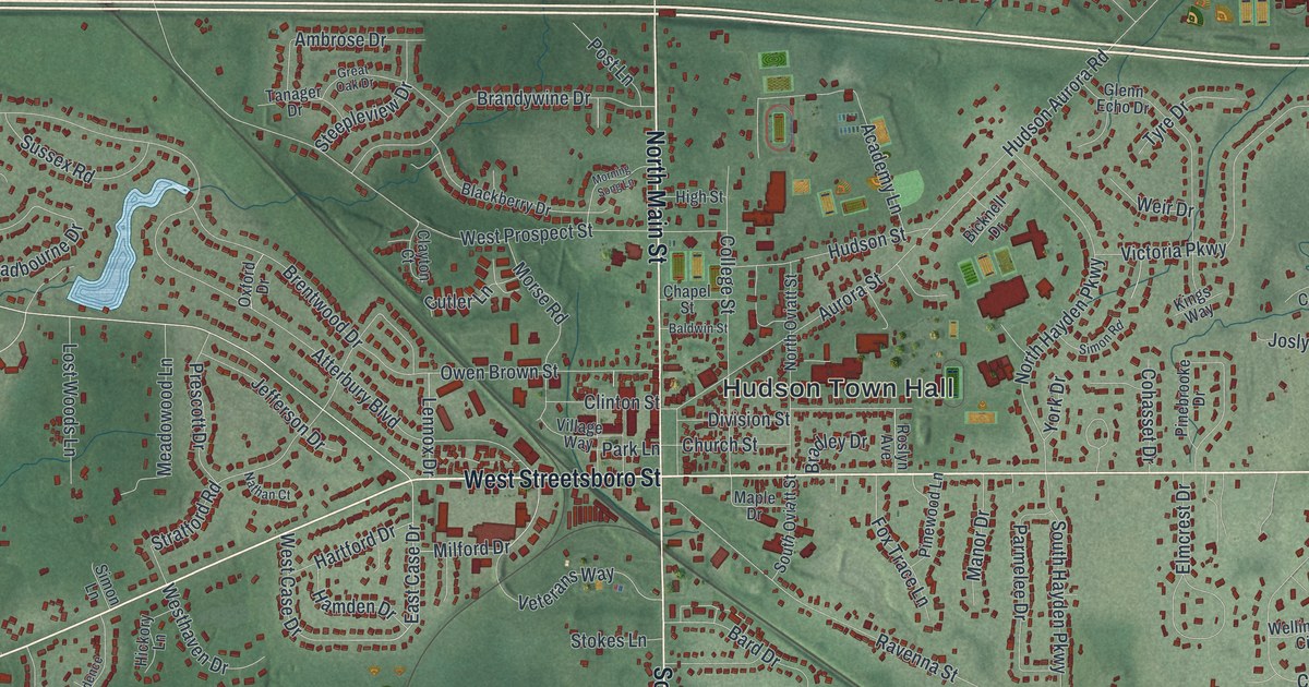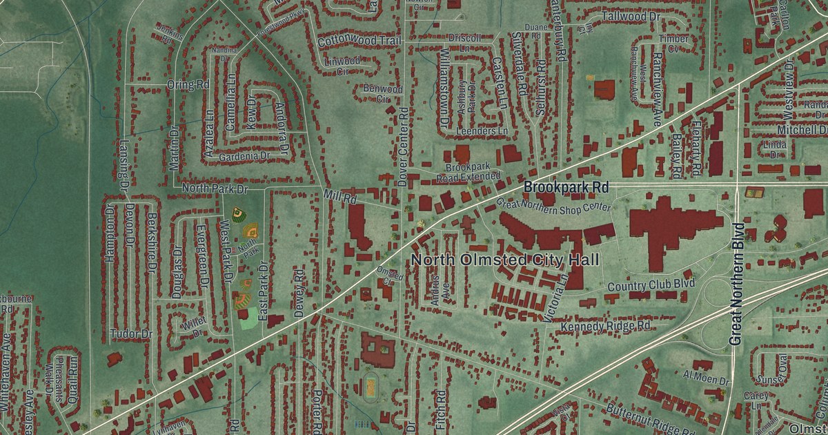
If you grew up in North Olmsted, shopped along Lorain Road or still have family off Butternut Ridge Road, this map gives you plenty to find. It's a modern aerial view of North Olmsted in Cuyahoga County, Ohio, made from modern data with a vintage artistic feel. North Olmsted City Hall is printed near the middle. Lorain Road cuts across the whole sheet on a long slant. Down the right side, Rocky River Reservation is a band of deep green woods with a blue river looping through it. More than 27,000 buildings are drawn in dark red.
Lorain Road, Dover Center Road and Rocky River Reservation
Start at North Olmsted City Hall, near the middle of the sheet. Dover Center Road comes down from the top to meet Lorain Road here, and Butternut Ridge Road runs just below. Now follow Lorain Road northeast. Brookpark Road and Great Northern Boulevard meet it by the big red blocks around the Great Northern Shop Center. Keep going and you'll cross Columbia Road, which runs from top to bottom on the right side. Past it, Clague Road and Walter Road head north toward Stonehedge.
Now take Columbia Road south. Farther down, Cedar Point Road turns east by the small Olmsted label. It drops into Rocky River Reservation, where the river bends back and forth through the woods. Back on the west side, Bradley Woods Reservation is a wide green patch near Bradley Road. Stearns Road runs north and south close by, and Sandy Ridge is printed near the top. Many of the roads are labeled, and each red shape is a building, so zoom in on the preview and look for yours.
How Olmsted got its name from 500 books
The town's name came from a trade for books. Aaron Olmsted bought almost half the north side of the township, but he died before he ever saw it. In 1829, the people of Lenox voted to change the township's name to Olmsted. In return, they got 500 books owned by his heirs. The books came by oxcart from Hartford, Connecticut. Settlers kept them in their own cabins. It's believed to be the first public library in the Western Reserve. The Oxcart Library marker says 125 of those books are left. They're kept at the North Olmsted Public Library.
That marker stands on Butternut Ridge Road in front of the library, just east of Lorain Road. On the map, that's close to the City Hall label. Lorain Road follows an old ridge. In 1816, David Stearns built a log cabin on that ridge. He was the first settler to stay for good. In 1827 he gave his cabin to the town to use as its first schoolhouse. His marker stands near where Christman Drive meets Lorain Road.
For someone who grew up off Lorain Road
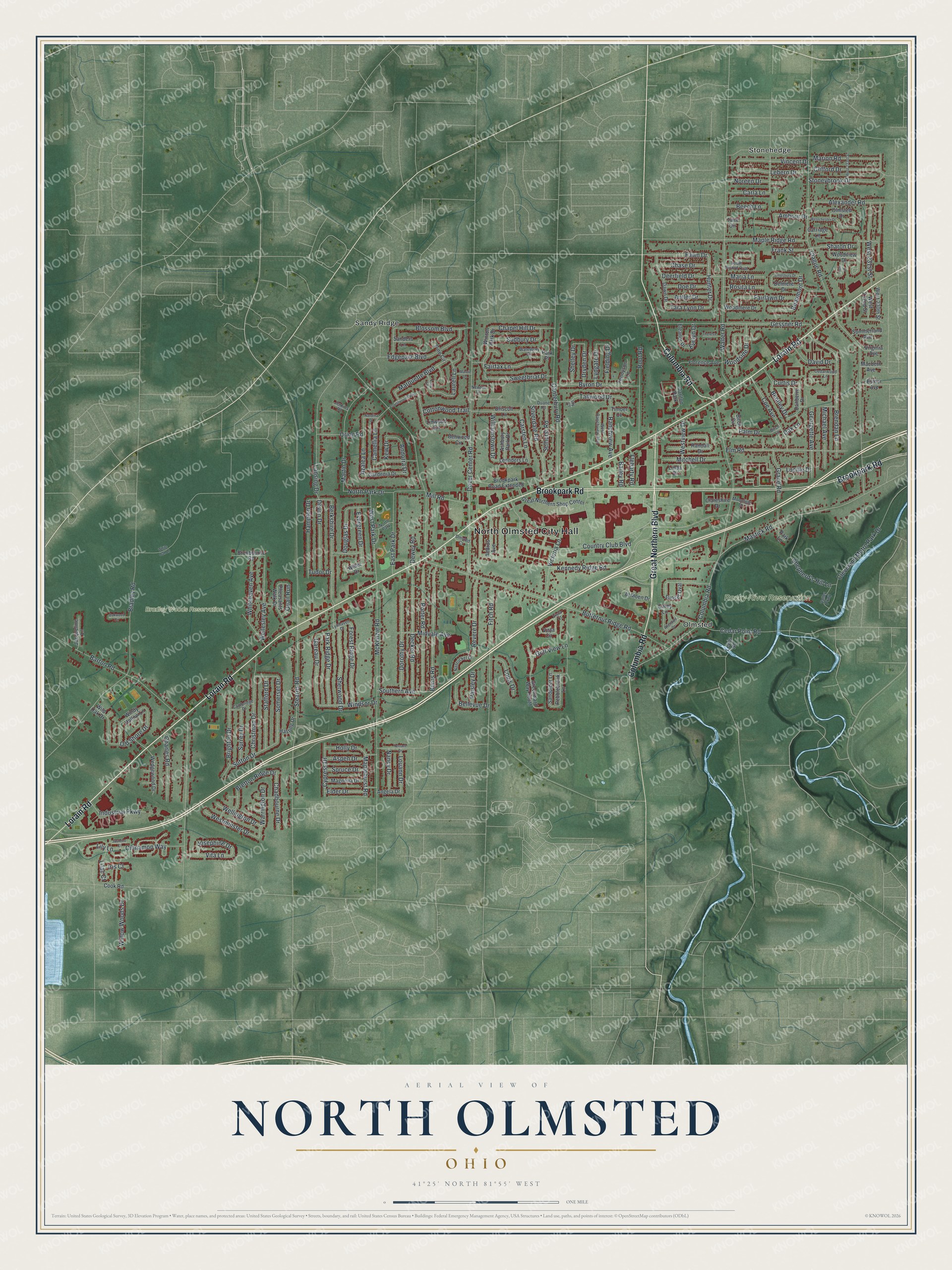
Created by KNOWOL in 2026, this North Olmsted map takes its shaded hills and river valley from USGS elevation data and its streets from Census Bureau records. The land is soft green, the buildings are dark red, and the Rocky River is a thin blue line in the woods. The title panel reads "Aerial View of North Olmsted, Ohio" with 41°25' North 81°55' West and a one-mile scale bar.
It fits a family room, a den or a home office. It's a good gift for someone who grew up in North Olmsted and moved away, or for anyone who knows the North Olmsted Public Library and its oxcart books. Open the preview, zoom in and find the street you grew up on. See sizes and frames for the North Olmsted map.