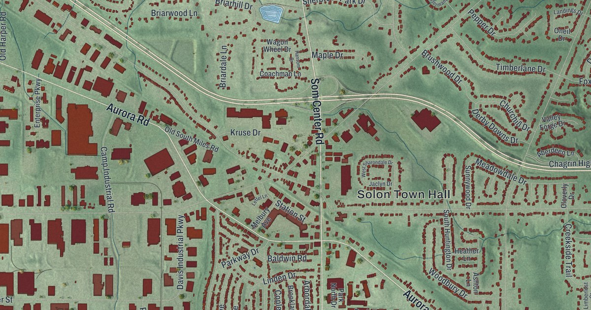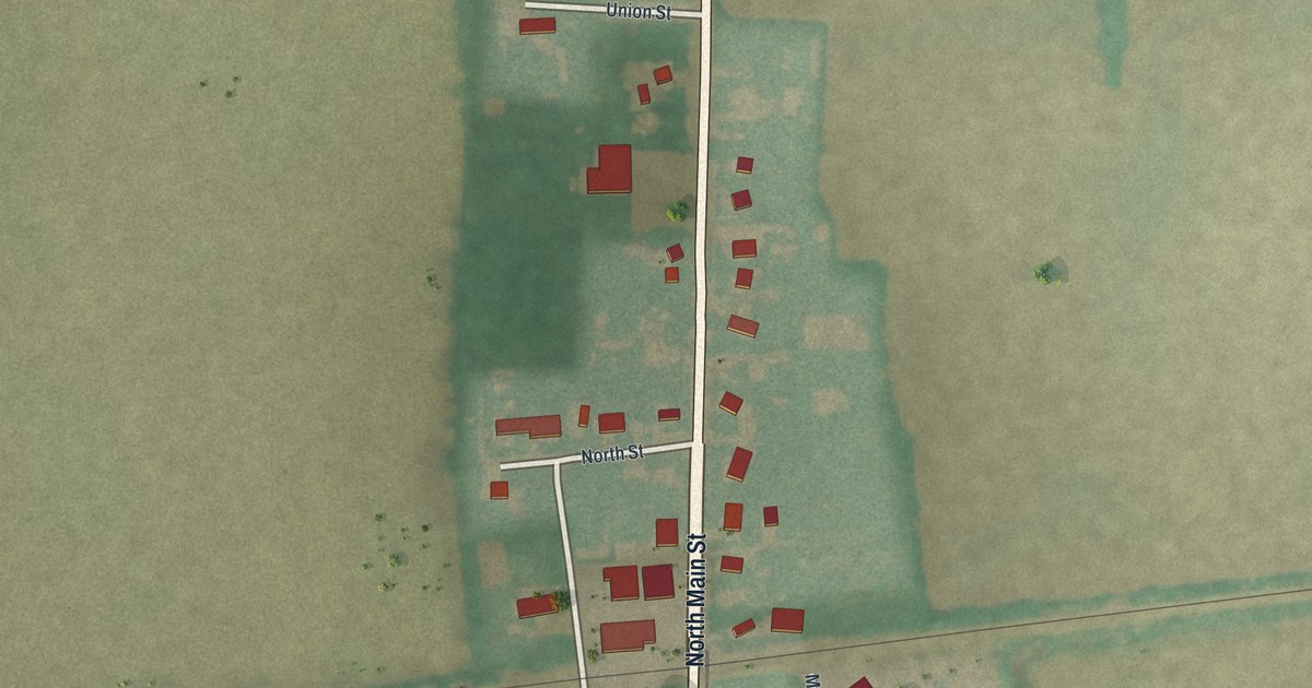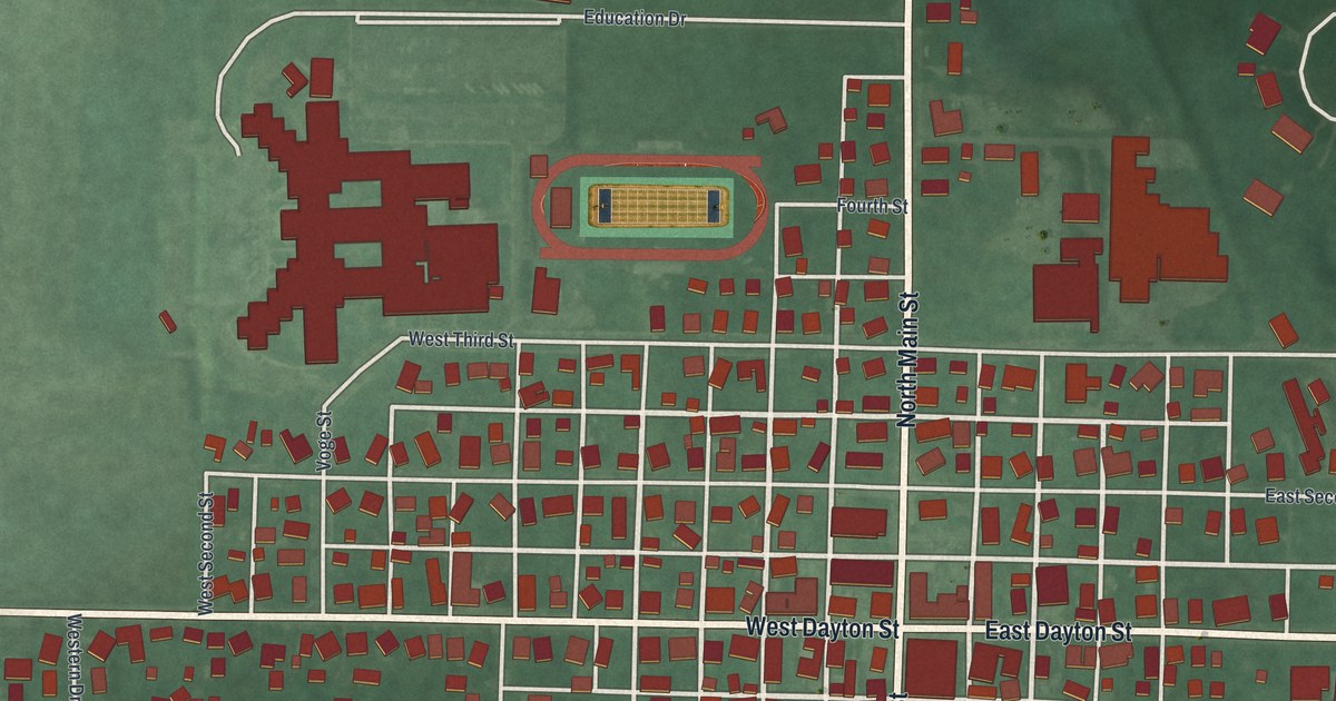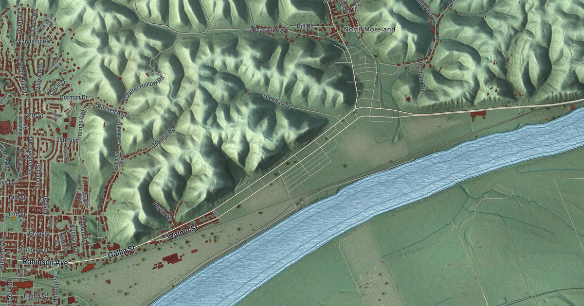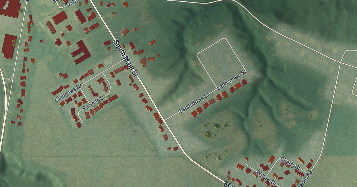
If you grew up in Milan, or you still have family on Church Street or Edison Drive, this map was made with you in mind. It's a new aerial view of Milan in Erie County, Ohio, built from modern data and given a vintage look. The old village sits at the top left, packed with small red buildings. A blue river curls past it. South of town, green hills and farm fields roll down toward Sleepy Hollow Road and Milan Manor Drive.
Thomas Edison's birthplace on Edison Drive
On this map you'll find Edison Drive, Church Street, Front Street, North Main Street, South Main Street, Bank Street, Merry Street, Huron Street, Liberty Street, South Center Street, Elm Street, Park Street, Sleepy Hollow Road, Milan Cemetery, and more. Each red shape is a building, so zoom in on the preview and look for yours.
Thomas Edison was born in Milan in 1847. His father, Samuel Edison, made shingles for a living. He also designed the family's small brick cottage, which was built in 1841. The family moved to Port Huron, Michigan, in 1854, when Thomas was seven. He held on to fond memories of those early years. In 1906 he acquired the house from his sister's family. His daughter, Madeleine Edison Sloane, opened it to the public in 1947. That was 100 years after his birth. In 1965 it became a National Historic Landmark. The Ohio historical marker at 9 Edison Drive tells the story. On the map, find Edison Drive near the top left, close to the river.
When Milan was a Great Lakes port
Before Edison was born, Milan was a busy Great Lakes port. The 3 mile Milan Canal opened in 1839. Farmers brought their crops to the Milan Basin, right next to where the Edison home stands. Goods moved through 14 warehouses, and as many as 20 schooners a day carried them away to the lake. Seventy-five ships were built in the basin itself. Then the railroads came, and so did the flood of 1868. Between them, Milan's port days were over. The canal basin marker stands beside the Edison home on Edison Drive.
From Edison Drive to Milan Manor Drive
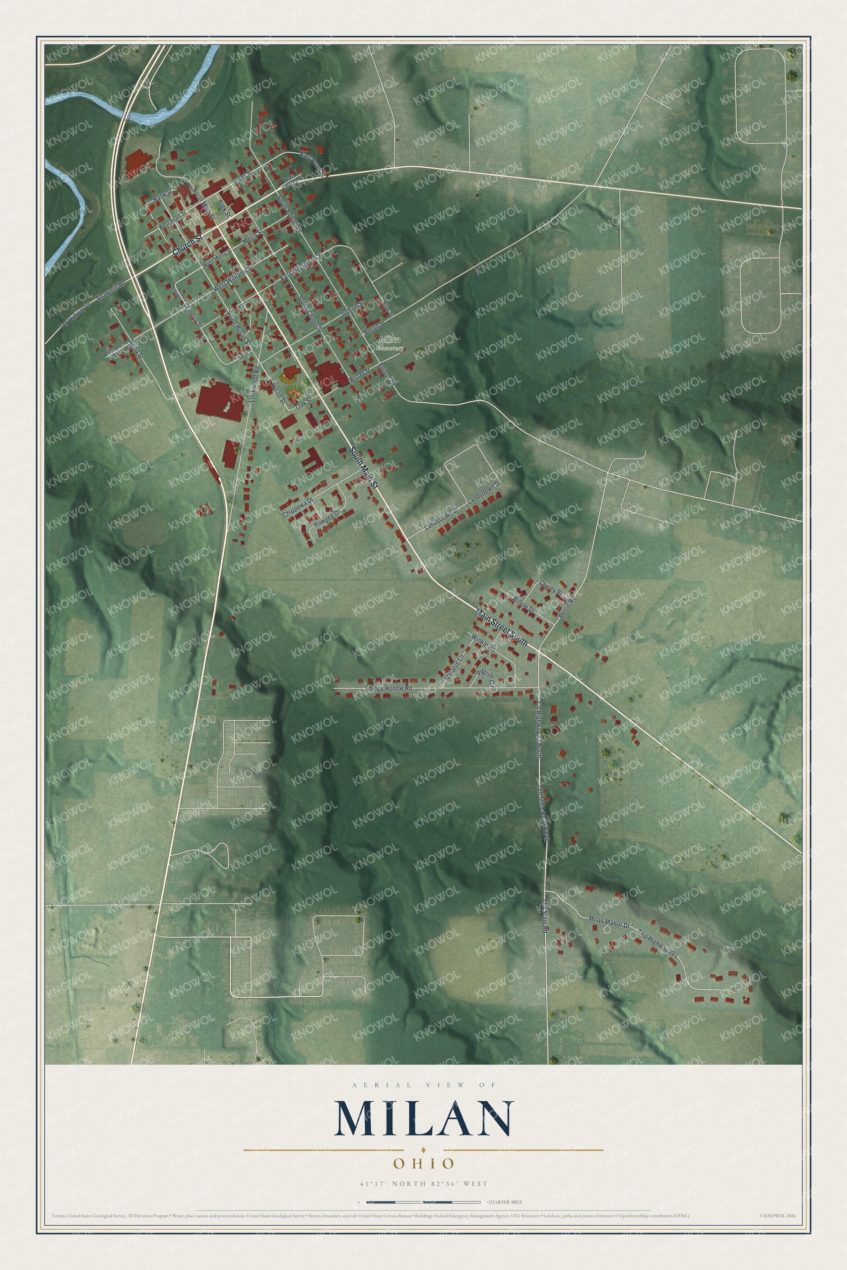
Created by KNOWOL in 2026, this print shows Milan from above in soft greens, with shaded hills, pale farm fields and each building in red. The title panel reads "Aerial View of Milan, Ohio" with the coordinates 41°17' North 82°36' West.
It fits well in a living room, a hallway or a home office. It's a thoughtful gift for someone who grew up near the Edison birthplace, or for a family member who moved away from Erie County. Open the preview and find your street. See sizes and frames for the Milan map.