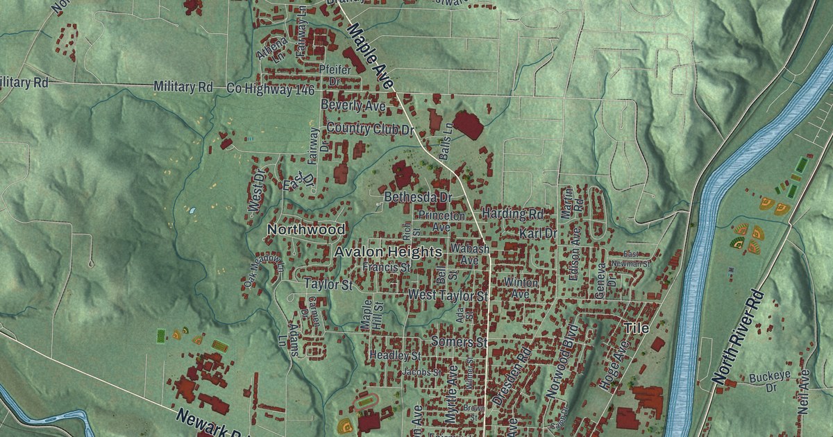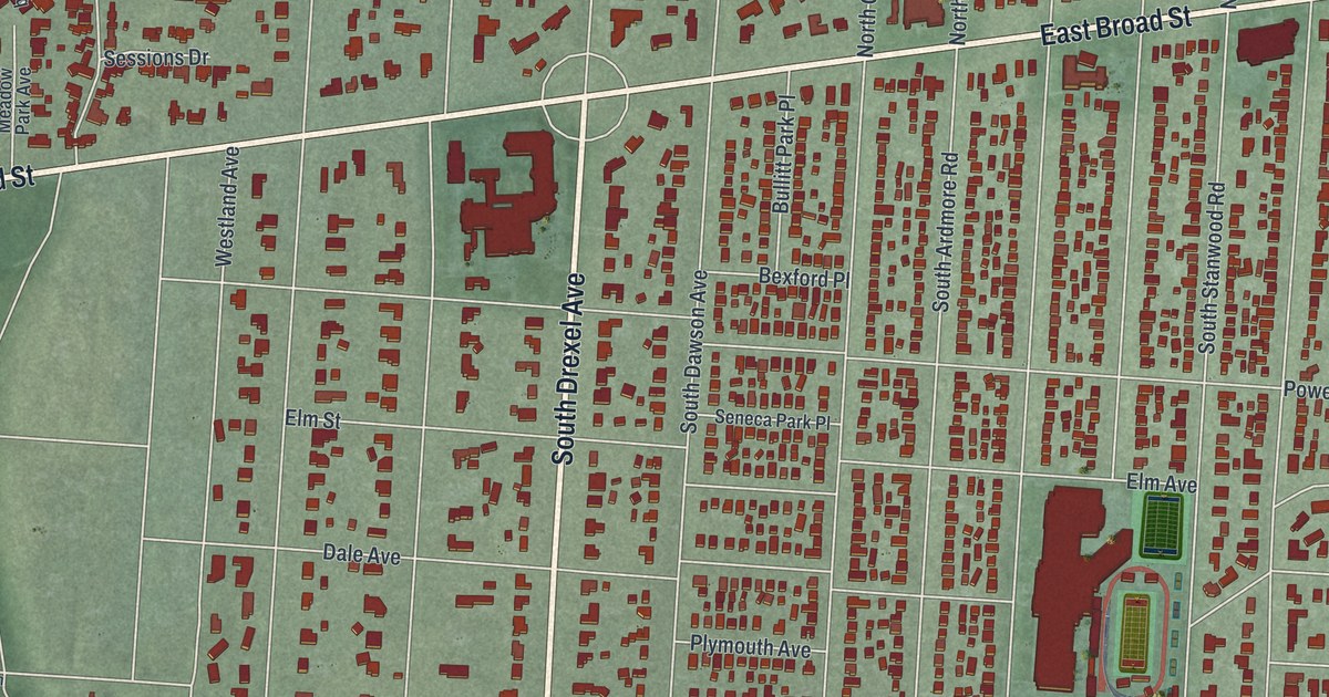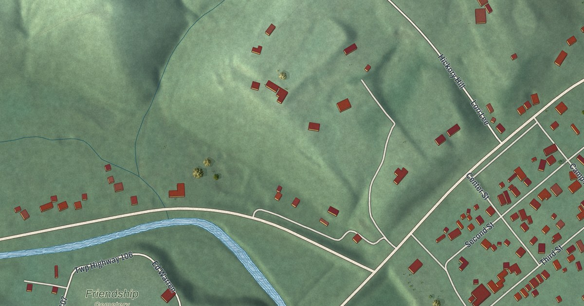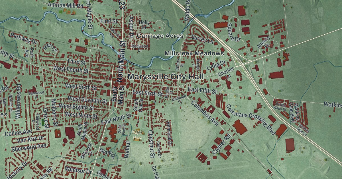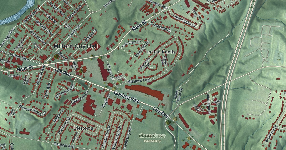
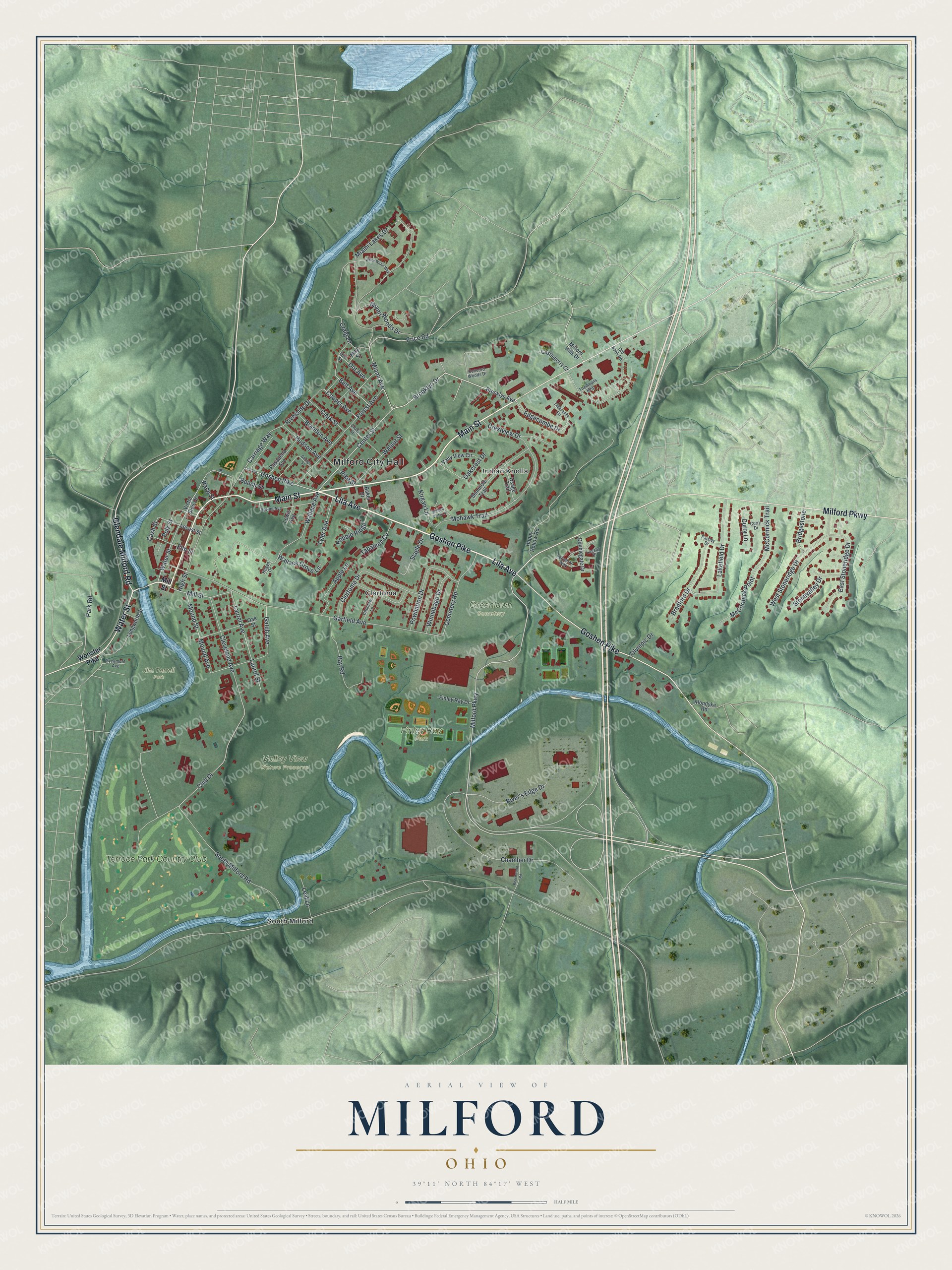
This beautifully detailed map of Milford, Ohio was created in 2026 using aerial imagery combined with modern topographical, census, street and landmark data. It’s a one-of-a-kind view of Milford that combines accurate data with a vintage aesthetic. The map shows every building in its true location, many of the roads carry their names, and the shaded topographic relief shows the shape of the land.
Explore an aerial view of Milford, Ohio
On the map you’ll find Milford City Hall, Finley Ray Park, Greenlawn Cemetery, Jim Terrell Park, Valley View Nature Preserve, Clertoma, Indian Knolls, South Milford, and Terrace Park Country Club, along with Goshen Pike, Lila Avenue, Main Street, and more. If you look closely you can even find your house accurately drawn in its correct location. Zoom in on the preview to look for yours.
Did you know this piece of Milford, Ohio history?
The Reverend Francis McCormick, a Revolutionary War soldier, settled here in 1796 on a land grant of a thousand acres. In 1797 he started the first Methodist class in the Northwest Territory. The town became Milford because it had the first safe crossing of the Little Miami River north of the Ohio.
Take a closer look at the Milford map
Street and place names on the Milford, Ohio map
These names are printed on the map of Milford, Ohio.
Places: Milford City Hall, Finley Ray Park, Greenlawn Cemetery, Jim Terrell Park, Valley View Nature Preserve, Clertoma, Indian Knolls, South Milford and Terrace Park Country Club.
Streets and roads: Goshen Pike, Lila Avenue, Main Street, Water Street, Glendale Milford Road, Milford Parkway, Brooklyn Drive, Center Street, Miami Avenue, Carriage Way, Mill Street, Riverside Drive.
More street names, A to Z
Apple Lane, Baker Drive, Bay Road, Beech Street, Beechwood Road, Belt Avenue, Bradford Drive, Brandon Avenue, Bridgestone, Brooklyn Avenue, Cash Street, Castleberry Court, Cemetery Road, Chamber Drive, Choctaw Lane, Clark Street, Clertoma Drive, Cleveland Avenue, Club Drive, Concord Woods Drive, Cooper Avenue, Craig Lane, Crestview Drive, Cross Street, Curry Drive, Curry Lane, Dot Avenue, Dot Street, Doublegate Drive, East Stoneridge Drive, Edgecombe Drive, Edgecombe Road, Elm Street, Fencerail Way, Finley Ray Drive, Forest Avenue, Garfield Avenue, Gatch Avenue, George Street, Happy Hollow Road, High Street, Hogan Drive, Hudson Avenue, Kirgan Lane, Klondyke Road, Lakefield Drive, Laurel Avenue, Laurel Street, Leaf Lane, Lewis Avenue, Locust Street, Logsby Place, Longworth Street, May Street, McCormick Point, McCormick Trail, Miami Lakes Drive, Miami Woods Drive, Milford Hills Drive, Milford Vista Lane, Mohawk Trail, Mound Avenue, Mound Street, Oakcrest Drive, Oak Street, Old Bank Road, Olympic Drive, Osage Trail, Paisley Drive, Park Road, Pasadena Avenue, Pike Street, Polk Street, Powhatton Drive, Price Road, Race Street, River's Edge Drive, Robbie Ridge, Seminole Trail, Slagle Drive, South Milford Road, Spring Avenue, Stonevalley Drive, Sycamore Avenue, Tabaleen Cv, Theilmans Mhp, Tyler Avenue, Vally View Circle, Victor Steir Drive, Wallace Avenue, Wallace Grove Lane, Walnut Street, West Stoneridge Drive, White Water Way, Winnebago Drive, Wooster Pike.
See the Milford, Ohio map on a wall
The Milford map as an 18 x 24 inch print in a black frame.

This beautifully detailed map of Milford makes an attractive addition to your office, library, or den, and it can even be used to teach children the geography and history of the area. It also makes a great gift for someone who left Milford and still calls it home. When you’re done exploring, click here to get your copy of the Milford map.