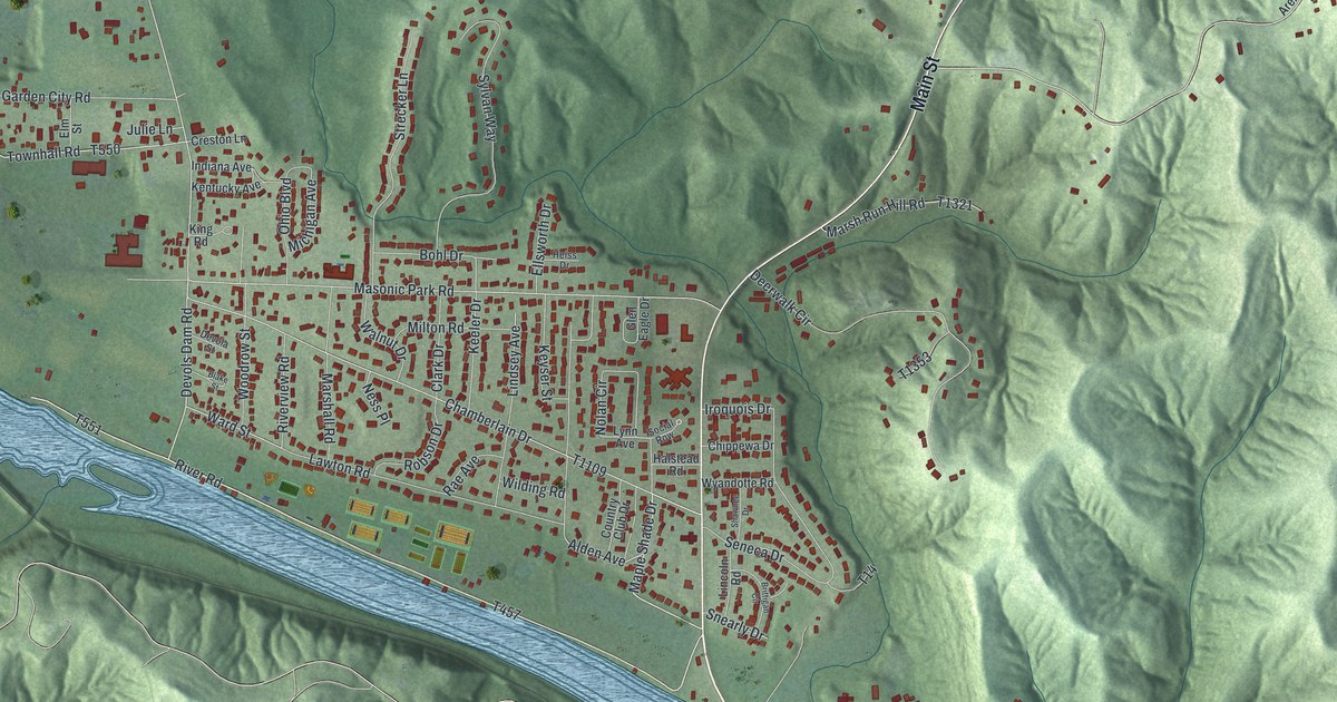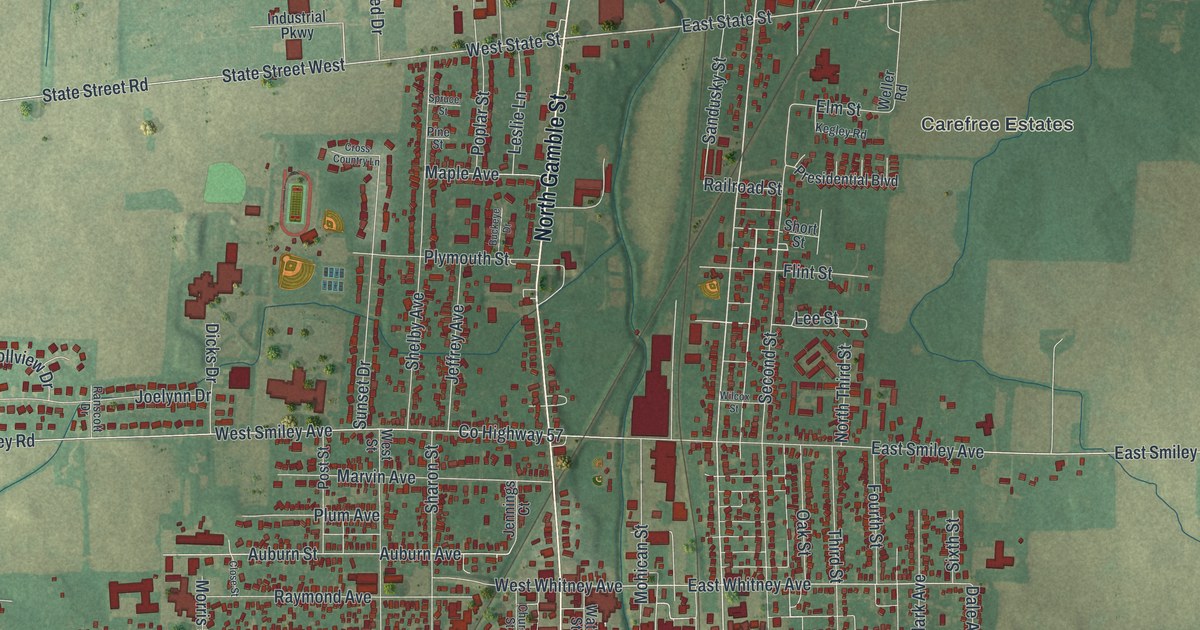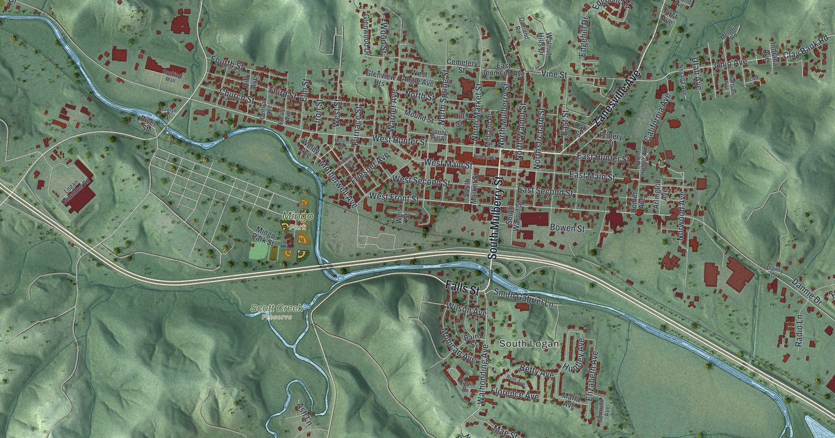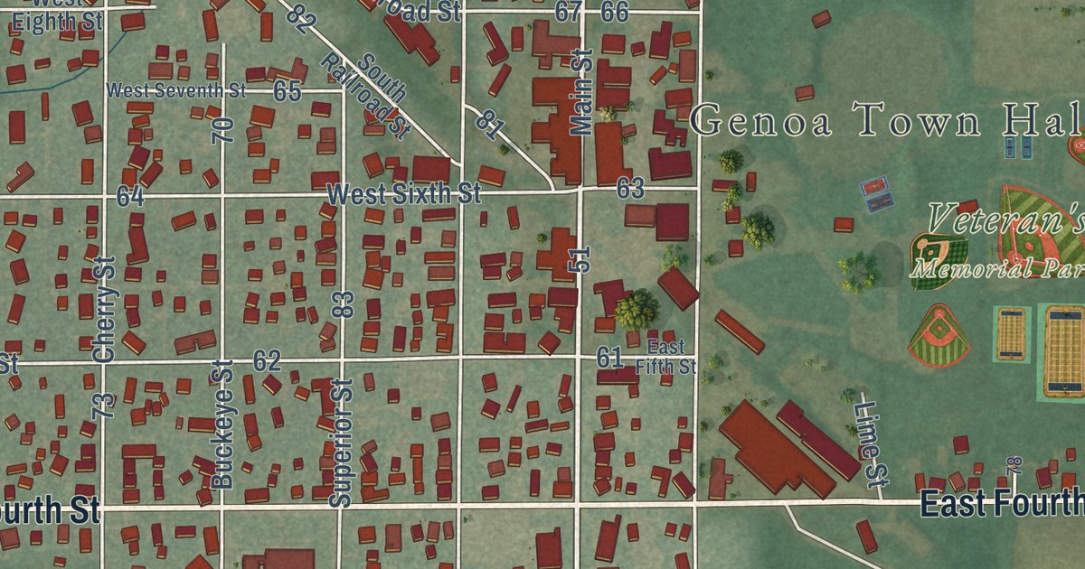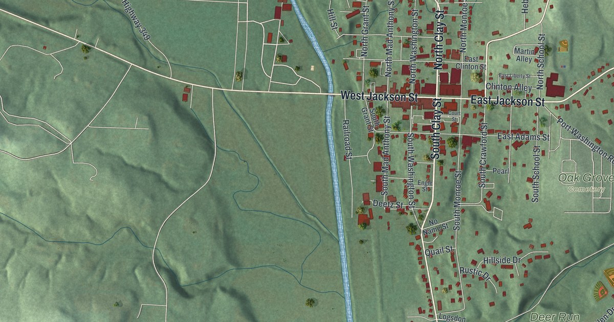
This beautifully detailed map of Millersburg, Ohio was created in 2026 using aerial imagery combined with modern topographical, census, street and landmark data. It’s a one-of-a-kind view of Millersburg that combines accurate data with a vintage aesthetic. The map shows every building in its true location, many of the roads carry their names, and the shaded topographic relief shows the shape of the land.
Explore an aerial view of Millersburg, Ohio
On the map you’ll find Deer Run Park, Fire Ridge Golf Course, Oak Grove Cemetery, and Old Airport Park, along with South Clay Street, North Clay Street, South Washington Street, East Jackson Street, Wooster Road, Massillon Road, West Jackson Street, East Jones Street, and more. If you look closely you can even find your house accurately drawn in its correct location. Zoom in on the preview to look for yours.
Did you know this piece of Millersburg, Ohio history?
Adam Johnson and Charles Miller of Coshocton County laid out the first town of Millersburg in November 1815. Thomas Haskins became the first settler on the plat in 1819 and kept a tavern there. Late in 1820, Joseph Edger of Berlin taught the first school, held in a cabin.
Take a closer look at the Millersburg map
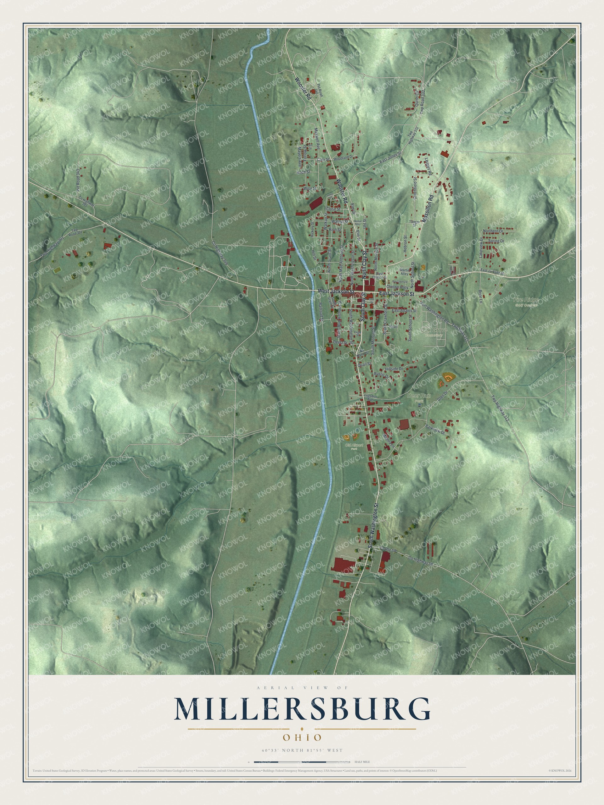
Street and place names on the Millersburg, Ohio map
These names are printed on the map of Millersburg, Ohio.
Places: Deer Run Park, Fire Ridge Golf Course, Oak Grove Cemetery and Old Airport Park.
Streets and roads: South Clay Street, North Clay Street, South Washington Street, East Jackson Street, Wooster Road, Massillon Road, West Jackson Street, East Jones Street, North Mad Anthony Street, South Mad Anthony Street, Twp Road 332, South Crawford Street.
More street names, A to Z
Brambly Hedge Drive, Briar Lane, Cary Street, Clinton Alley, Close Street, County Highway 58, County Highway 349, County Highway 393, County Route 58, Court Street, Critchfield Street, Deetz Street, East Adams Street, East Clinton Street, East Liberty Street, Elm Drive, Elm Street, Engle Street, Forlow Street, Glen Drive, Hebron Street, Hickory Street, Hillside Drive, Hill Street, Jones Street, Koch Street, Lakeview Drive, Ledges Road, Logsdon Avenue, Majora Lane, Martin Alley, Maxwell Avenue, Mayers Avenue, No Name Street, Northern Drive, North Grant Street, North Monroe Street, North School Street, North Washington Street, Parkview Drive, Pearl, Port Washington Road, Pvt Road 340, Pvt Road 343, Quail Street, Quinn Circle, Railroad Street, Rich Street, Rustic Drive, Sill Street, South Grant Street, South Monroe Street, South School Street, Spring Drive, Tanger Street, Twp Highway 301, Twp Highway 312, Twp Highway 332, Twp Road 301, Twp Road 312, Uhl Street, Walkup Street, Walnut Alley, Walnut Street, Wise Street, Woodland Drive.
See the Millersburg, Ohio map on a wall
The Millersburg map as an 18 x 24 inch print in a black frame.

This beautifully detailed map of Millersburg makes an attractive addition to your office, library, or den, and it can even be used to teach children the geography and history of the area. It also makes a great gift for anyone with Millersburg roots. When you’re done exploring, click here to get your copy of the Millersburg map.