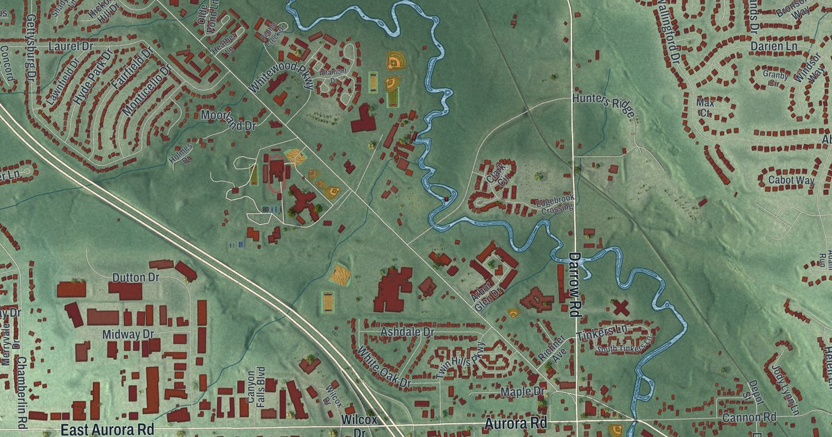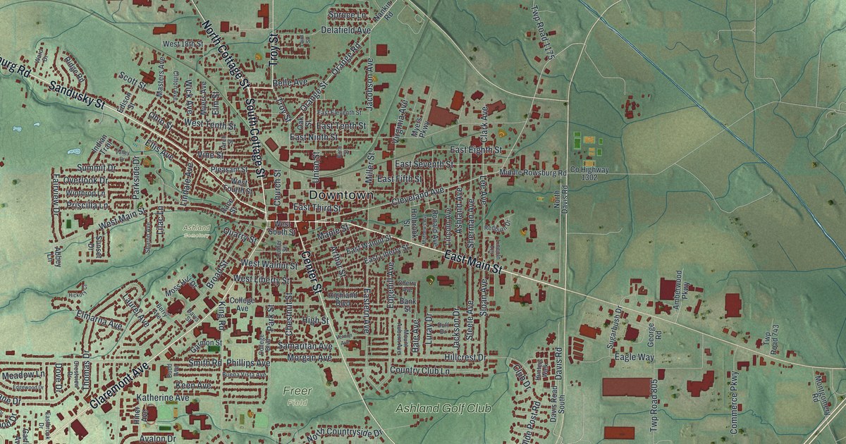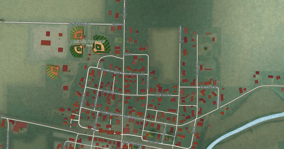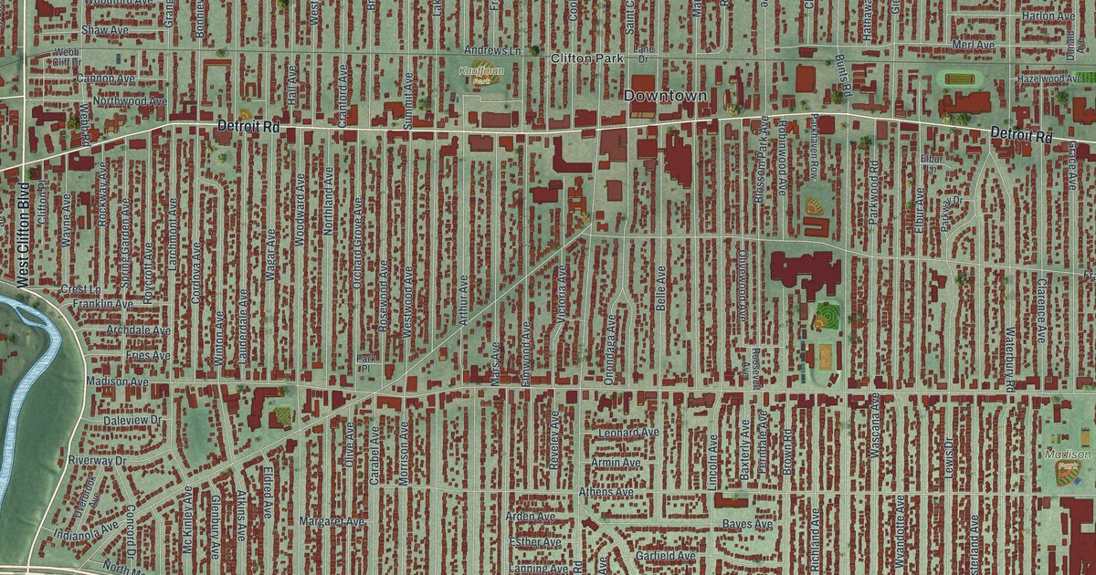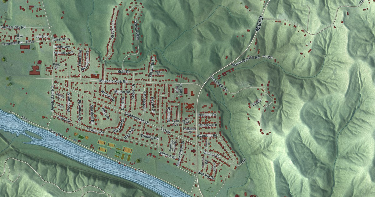
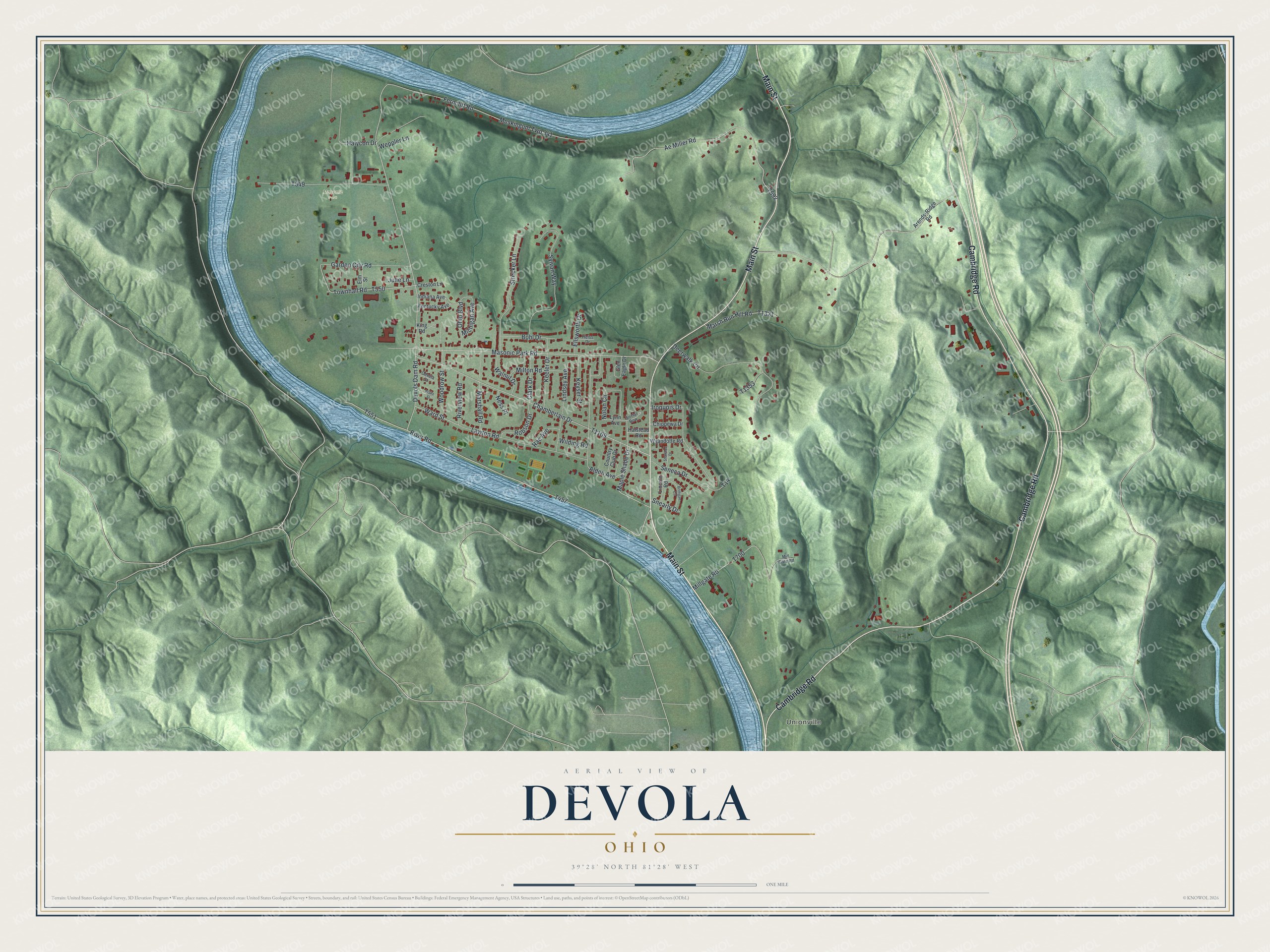
This beautifully detailed map of Devola, Ohio was created in 2026 using aerial imagery combined with modern topographical, census, street and landmark data. It's a modern aerial view of Devola in Washington County, Ohio, that combines modern data with a vintage aesthetic. The roads feature printed names, and if you look closely you can find your exact house accurately shown in its correct location.
Explore an aerial view of Devola, Ohio
On this map you'll find Unionville, Masonic Park, Main Street, Cambridge Road, T457, Maple Shade Drive, Devols Dam Road, T551, Ward Street, T550, Townhall Road, Masonic Park Road, and more. Each red shape is a building, so zoom in on the preview and look for yours.
Devola is a community in Washington County. The Census Bureau counted 2,639 people here in 2020. Devola sits about 4 miles north of Marietta, 4 miles southeast of Lowell and 8 miles southwest of Lower Salem. The map prints the town name in its title panel, with the coordinates below it.
Take a closer look at the Devola map
Names on this map
These names are printed on this map.
Places: Unionville and Masonic Park.
Streets and roads: Main Street, Cambridge Road, Maple Shade Drive, Devols Dam Road, Ward Street, Townhall Road, Masonic Park Road, Ferncliff Road, Chamberlain Drive, Muskingum Twp 341, Ae Miller Road, Deerwalk Circle.
More street names, A to Z
Alden Avenue, Arends-Ridge Road, Blake Street, Bohl Drive, Brittigan Circle, Chippewa Drive, Clark Drive, Country Club Drive, Creston Lane, Devola Street, Ellsworth Drive, Elm Street, Garden City Road, Glen Eagle Drive, Halstead Road, Halycon Drive, Heiss Drive, Indiana Avenue, Iroquois Drive, Julie Lane, Keeler Drive, Kentucky Avenue, Keyser Street, King Road, Lawton Road, Lincoln Road, Lindsey Avenue, Lynn Avenue, Marshall Road, Marsh Run Hill Road, Michigan Avenue, Millgate Road, Mill Gate Road, Milton Road, Ness Place, Nolan Circle, Ohio Boulevard, Rae Avenue, River Road, Riverview Road, Robson Drive, Seneca Drive, Shawnee Drive, Snearly Drive, Social Row, Strecker Lane, Sylvan Way, T14, Walnut Drive, Weppler Lane, Wilding Road, Woodrow Street, Wyandotte Road.
See it on a wall
The Devola map as a framed print. Swipe for more.


Created by KNOWOL in 2026. The buildings are small red shapes, the roads carry their printed names, and shaded relief shows the shape of the land. The title panel reads "AERIAL VIEW OF DEVOLA, OHIO" with 39°28' NORTH 81°28' WEST.
Hang it in the hallway, the office or the cabin, or give it to someone who left Devola and still calls it home. Open the preview and look for a street you know. See sizes and frames for the Devola map.