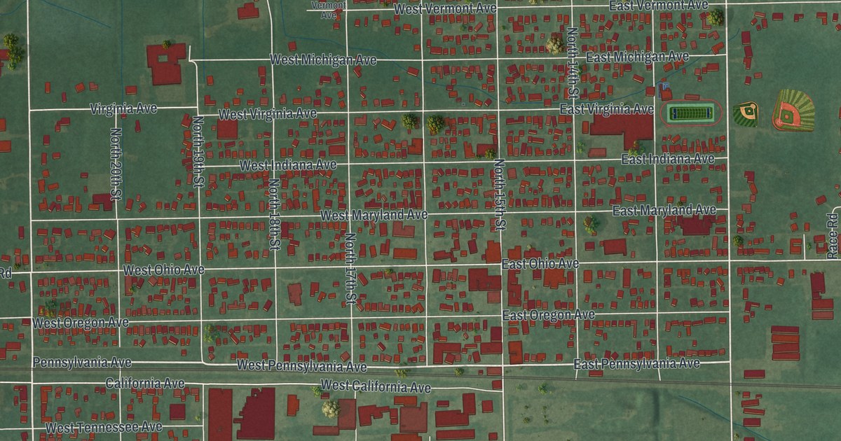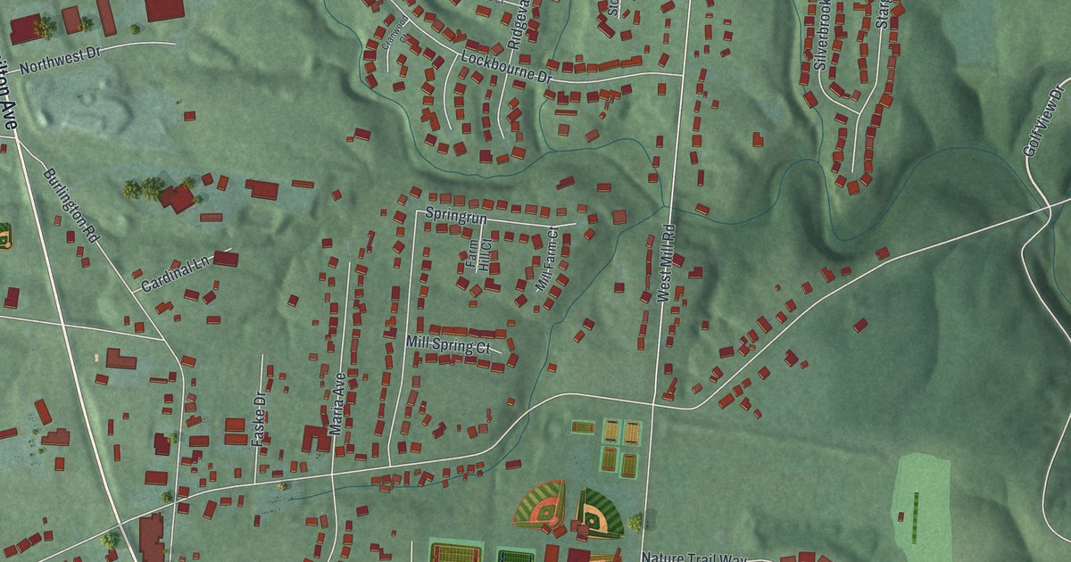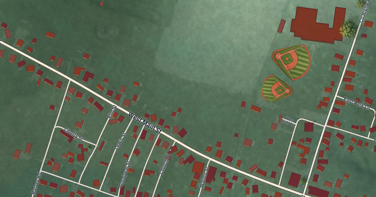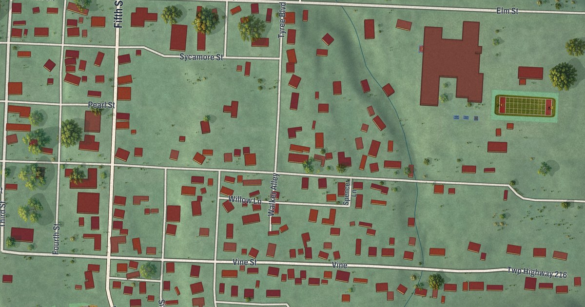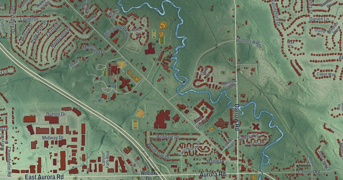
If you grew up in Twinsburg or still drive Darrow Road most days, this map is for you. It's a modern aerial view of Twinsburg in Summit County, Ohio, made from modern data and given a vintage artistic feel. Green hills roll across the sheet, and a blue creek winds past Center Valley Park. More than 11,000 buildings show up in deep red, from the winding neighborhood streets to the big buildings along Enterprise Parkway.
Killingworth Lane and the First Congregational Church
On this map you'll find Darrow Road, Aurora Road, East Aurora Road, Ravenna Road, Liberty Road, Chamberlin Road, Glenwood Drive, Center Valley Park, Liberty Park Recreation, Crown Hill Cemetery, Killingworth Lane, Wilcox Drive, Enterprise Parkway, Summit Commerce Park, and more. Each red shape is a building, so zoom in on the preview and look for yours.
Many of Twinsburg's first settlers came from Killingworth, Connecticut. The state marker at the First Congregational Church tells their story. The church was organized on August 23, 1822. For 31 years, people met to worship in different places. Then in 1848 they built a church of their own. Its design is credited to master builder Simeon Porter. The spire you see today is an 1857 replacement. The church is at 9050 Church Street, in the middle of town. You'll find Killingworth Lane printed on the map too.
Ethan Alling and the Locust Grove vault
Ethan Alling started Locust Grove Cemetery in 1846. In 1872, a vault was built there from sandstone cut nearby. In winter the ground froze too hard to dig by hand. So the vault held bodies until the ground could be opened. Once machines could break frozen ground, it stored tools and cemetery supplies instead. In 1997, the 138-ton vault was moved about 25 feet to make room for new building. It sits on East Aurora Road, a short walk from the church. Look for Alling Drive and Ethan's Drive on the map as well.
Keep Darrow Road and Liberty Park close
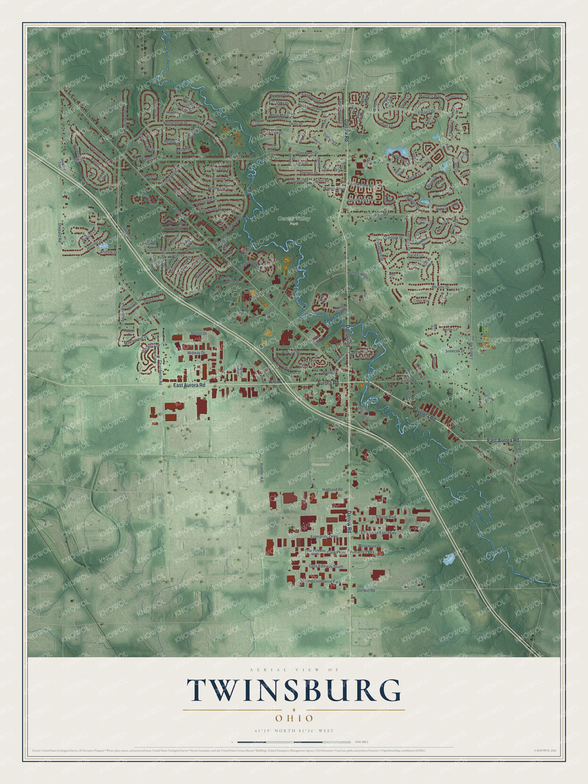
Created by KNOWOL in 2026, this print shows Twinsburg in soft greens, with shaded hills, thin blue creeks and buildings in deep red. The cream title panel at the bottom reads Aerial View of Twinsburg, Ohio, with 41°19' North 81°26' West printed below. KNOWOL built it from public terrain, road, building and water data.
It looks good in a living room, a home office or the hallway by the front door. It also makes a kind gift for someone who grew up near Liberty Park Recreation and has since moved away. Open the preview and find your own street. See sizes and frames for the Twinsburg map.