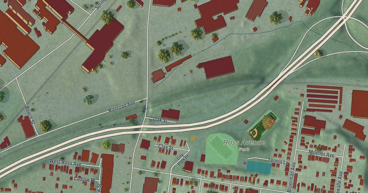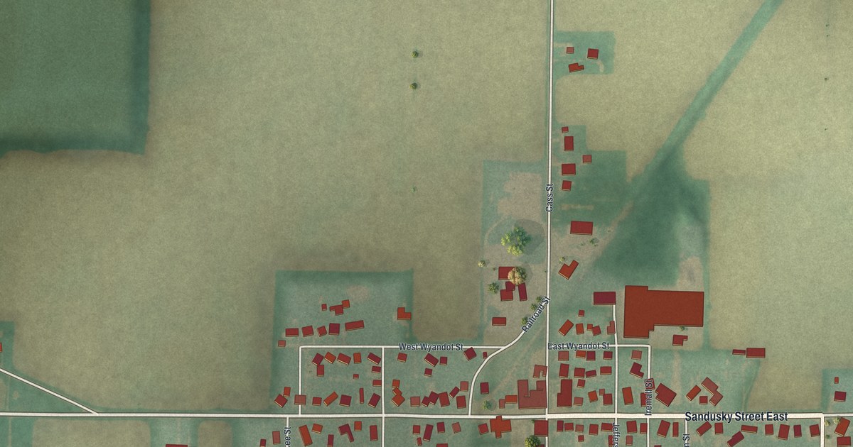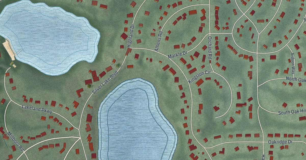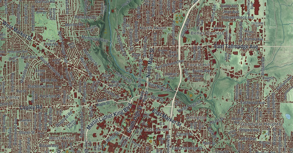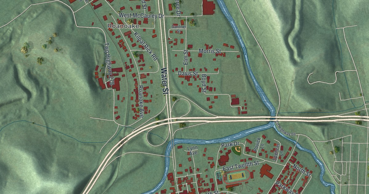
If you grew up in Uhrichsville, look for your old block on this print. It's a modern aerial view of Uhrichsville in Tuscarawas County, Ohio, made with modern data and a vintage feel. Red buildings fill the street grid, blue streams wind through town, and green hills rise around it.
North Water Street and Uhrich's Mill
On this map you'll find North Water Street, North Main Street, Eastport Avenue, East Third Street, East Fourth Street, North Uhrich Street, Deersville Avenue, Trenton Avenue, Union Cemetery, Eastport, Roanoke Avenue, and more. Each red shape is a building, so zoom in on the preview and look for yours.
Uhrich's Mill had four wheels, each with a job to do. The Uhrich's Mill historical marker tells how one sawed wood. Another served wheat, and two ground corn. Michael Uhrich, Sr. started the mill in 1806. During the canal years, nearly all grain from the Stillwater Valley came through it. The grain went on to Cleveland markets by canal.
The town came later. Michael Uhrich, Jr. laid out Waterford in 1833. About six years later, it became Uhrichsville. On the print, North Uhrich Street gives you that same family name to find. You can still see that mill story in the blue bends winding through the town's blocks.
Keep Uhrichsville Close
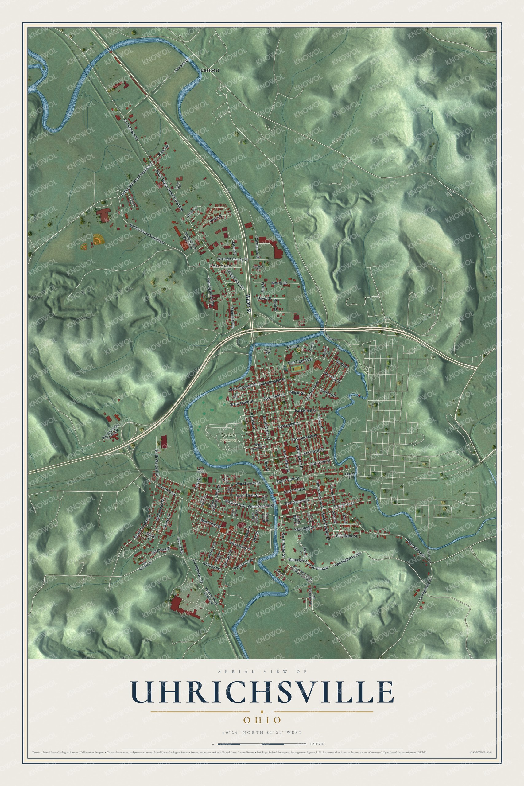
Created by KNOWOL in 2026, the print pairs green shaded hills with blue water, red buildings, and pale roads. A cream border surrounds the view. The title panel reads AERIAL VIEW OF UHRICHSVILLE, OHIO, with 40°24' NORTH 81°21' WEST below.
Hang it in a living room, home office, or entryway. It's a gift for someone with family on North Water Street, or someone who moved away and still calls Uhrichsville home. Open the preview and look for the blocks you know best. See sizes and frames for the Uhrichsville map.