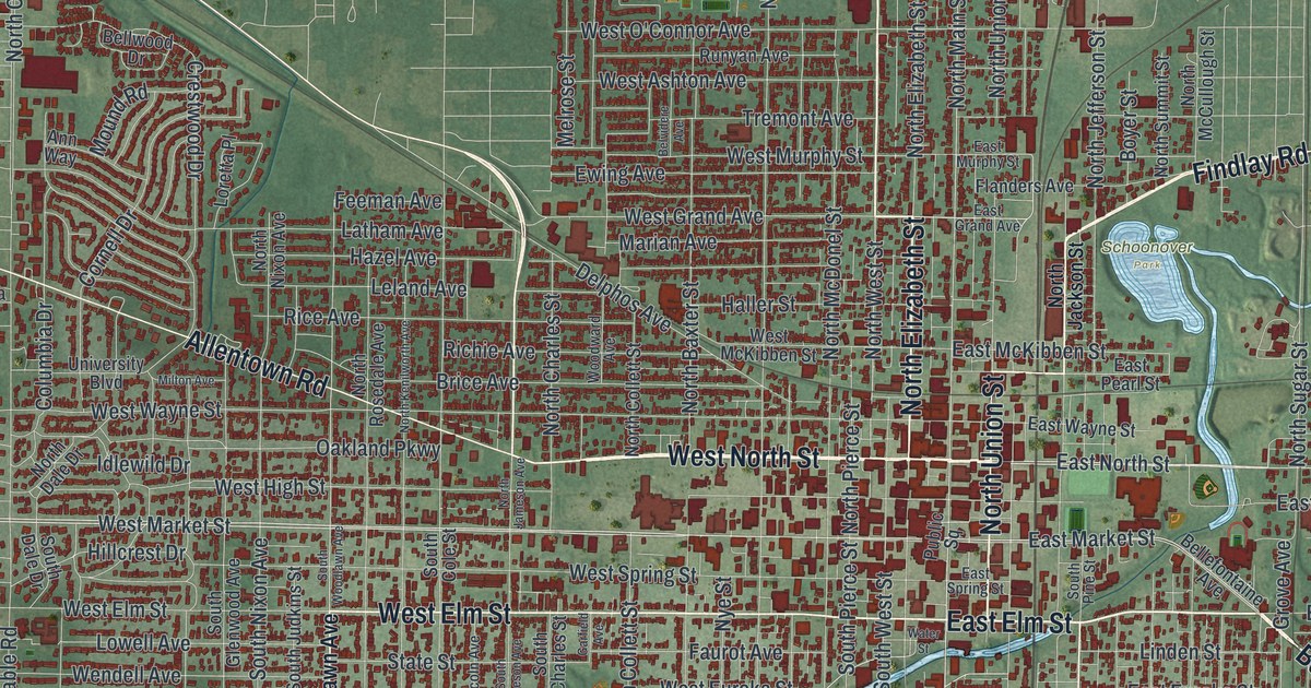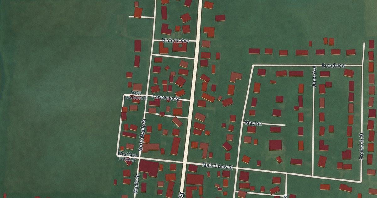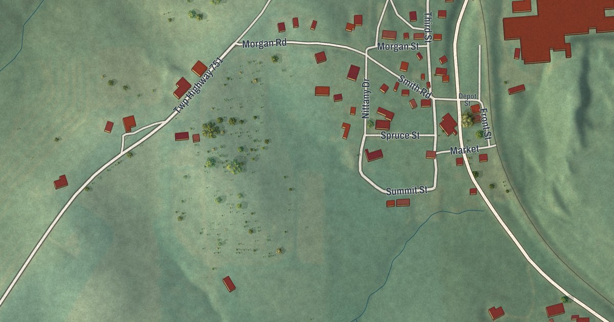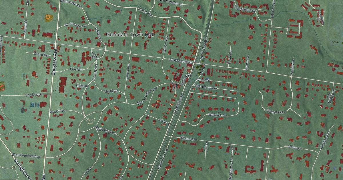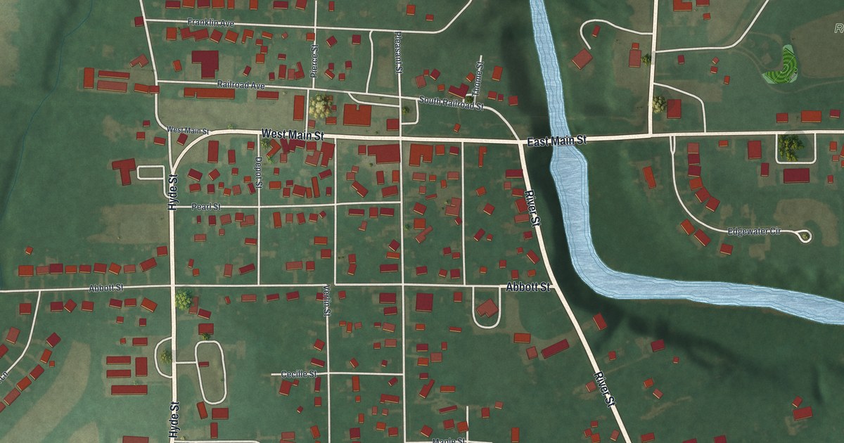
If you grew up in Wakeman, look for your old street here. This modern aerial view of Wakeman in Huron County, Ohio, uses modern data with a vintage feel. Red buildings line the village streets, and a blue river bends through green land.
Wakeman's streets and Red Cap Park
On this map you'll find East Main Street, West Main Street, Hyde Street, Townsend Street, River Street, Clark Street, Pleasant Street, Cooper Street, Abbott Street, Depot Street, Church Street, Red Cap Park, and more. Each red shape is a building, so zoom in on the preview and look for yours.
The Red Caps played night baseball in 1935
Wakeman's baseball story goes back to a club founded in 1889. The Wakeman Red Cap Field marker tells how the Red Caps played under lights on July 24, 1935. That was just two months after the Cincinnati Reds began night baseball at Crosley Field. Wakeman's team played semi-pro ball in the 1930s and 1940s.
Find Hyde Street, Clark Street, Pleasant Street, and Townsend Street on the map. Those four streets bounded Wakeman Field. For local players, joining the Red Caps for night games was a great honor. The field also hosted sports greats, including Satchel Paige and Josh Gibson. Those familiar street names mark the bounds of a place that drew remarkable talent.
Keep Wakeman's Main Street close
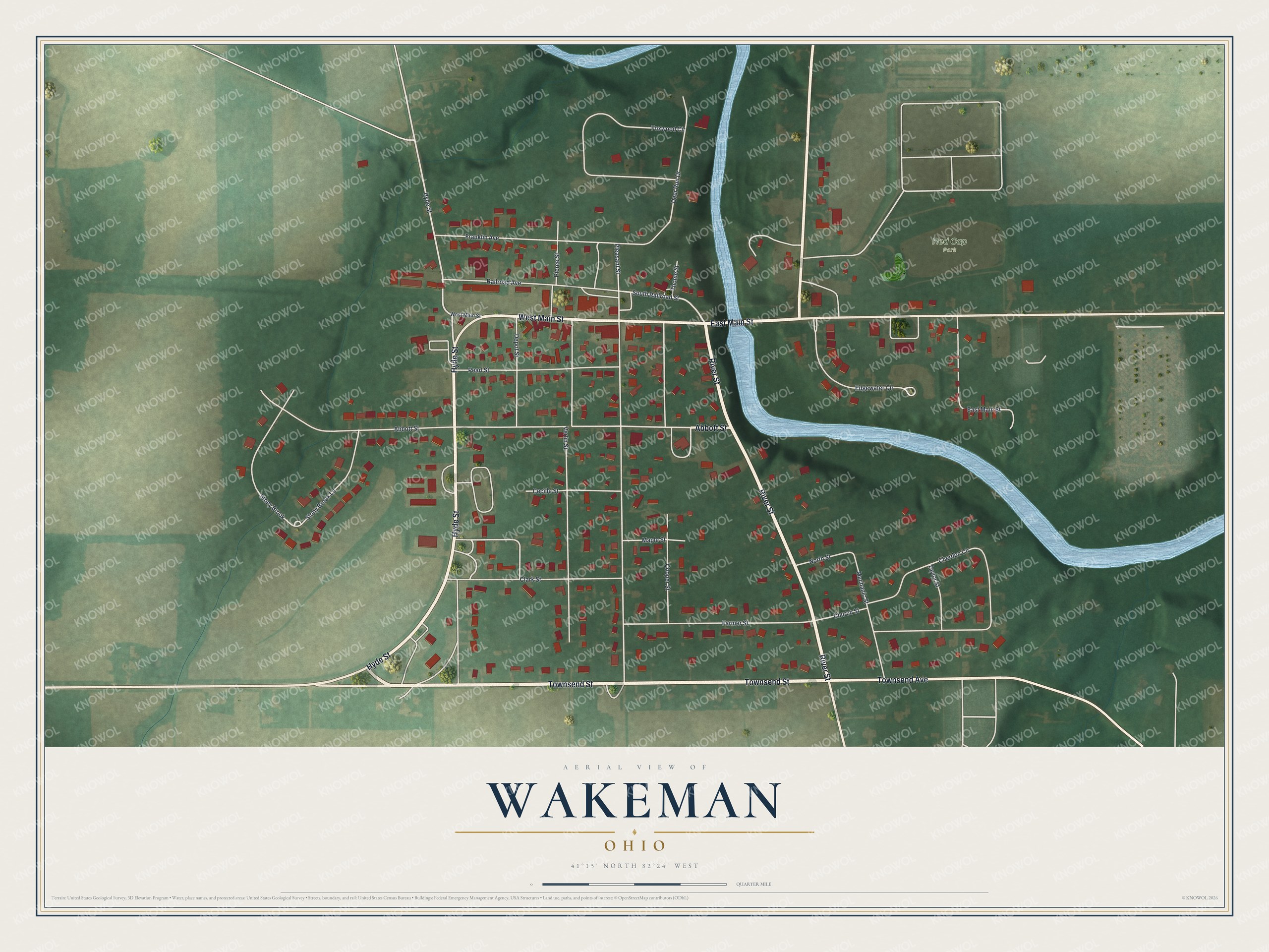
Created by KNOWOL in 2026, the print pairs green land, blue water, and red buildings with pale roads and a cream border. The title panel reads AERIAL VIEW OF, WAKEMAN, OHIO, and 41°15' NORTH 82°24' WEST.
It's a warm fit for a living room, office, or entryway. Give it to someone who grew up near East Main Street and moved away. Open the preview to look for their block or your own. See sizes and frames for the Wakeman map.