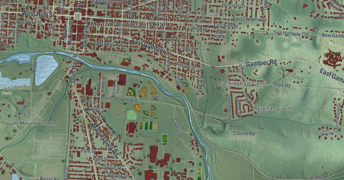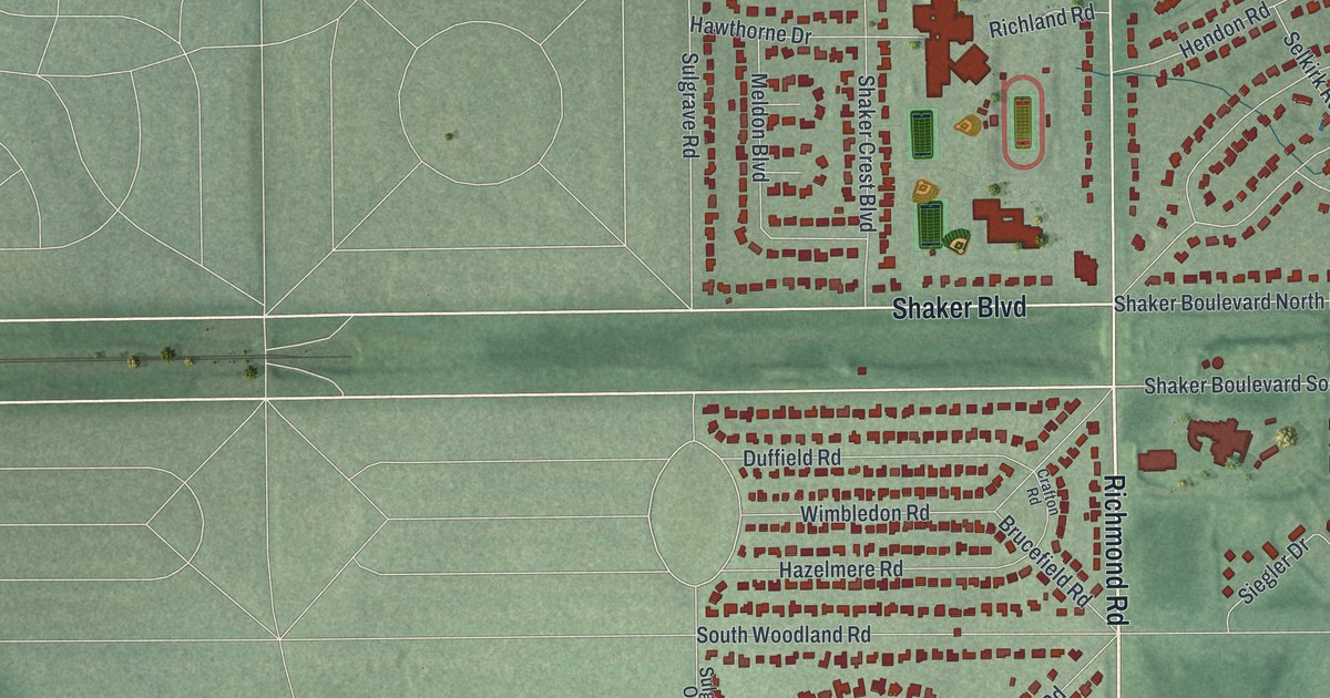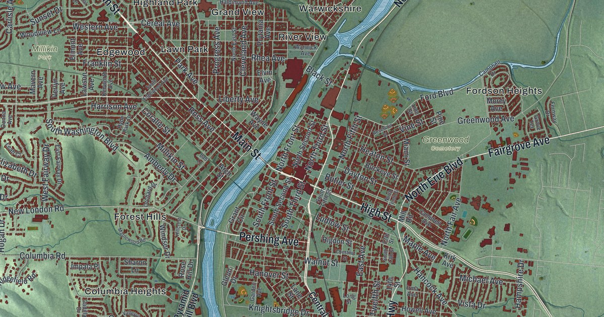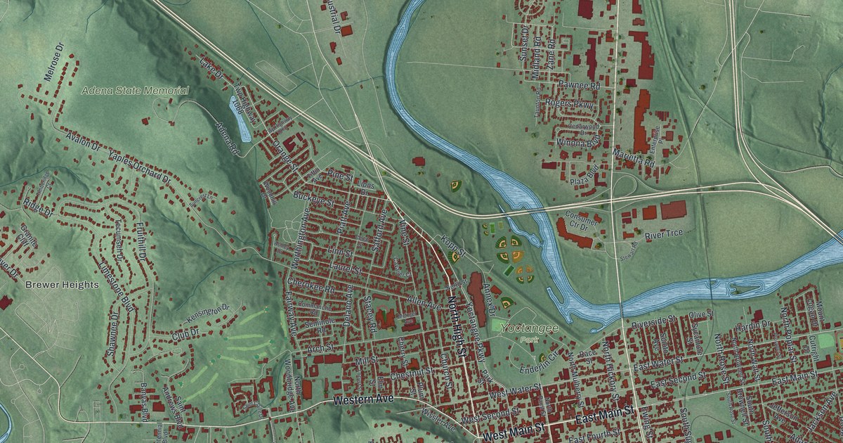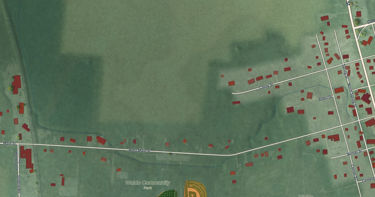
If you grew up in Waldo, look for your old street here. This modern aerial view shows Waldo in Marion County, Ohio, using modern data with a vintage feel. Red buildings stand among green fields, with blue water along the right side. Waldo Community Park's ball fields are easy to spot.
Harrison Military Road in Waldo
On this map you'll find North Marion Street, South Marion Street, Main Street, West Main Street, Spring Street, Center Street, Bucyrus Street, Winter Street, Summer Street, Cemetery Street, Waldo Community Park, Waldo Cemetery, and more. Each red shape is a building, so zoom in on the preview and look for yours.
Waldo's historical marker at 102 North Marion Street tells a much older road story. According to the Harrison Military Road marker, Marion County's first road followed a Native American path called the Scioto Trail. The road was a 120-foot-wide strip through Wyandot territory. A group of Ohio tribes ceded it to the United States in 1808.
During the War of 1812, General William Henry Harrison's troops traveled this road. They carried supplies to the army and the forts that guarded the route. Their journey led toward Fort Meigs and the British fort at Detroit. Some soldiers who saw the area along this road became early settlers. On the print, look for North Marion Street, where the marker stands today at 102 North Marion Street.
Waldo Community Park and Your Home Streets
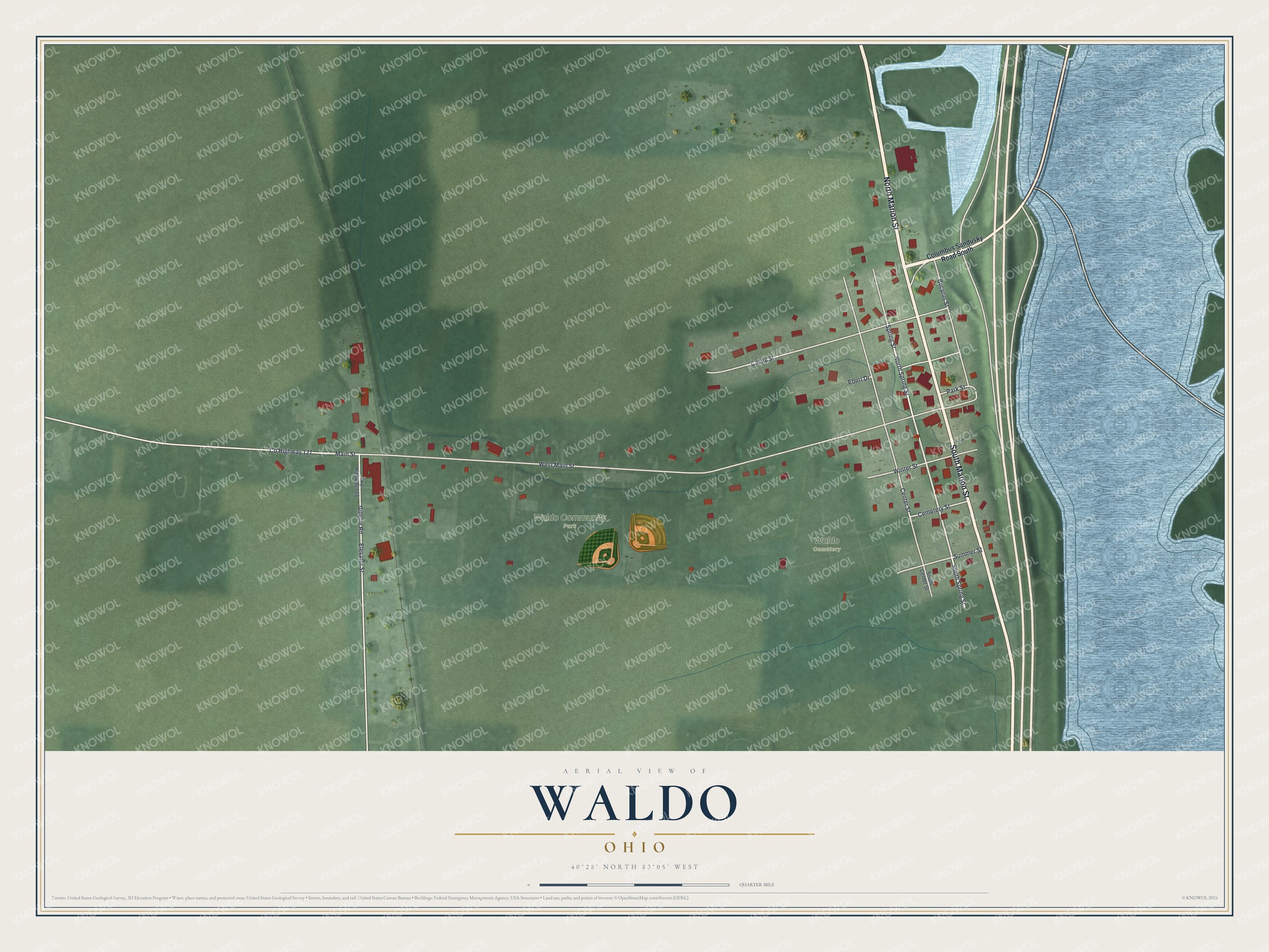
Created by KNOWOL in 2026, the print pairs green land, blue water and red buildings with a cream border. Fine lines trace the streets through the village and nearby fields. The title panel reads AERIAL VIEW OF WALDO, OHIO, with 40°28' NORTH 83°05' WEST below.
Hang it in a living room, home office or entryway. It's a thoughtful gift for someone who spent time at Waldo Community Park or has family in the village. Open the preview and find the block you know best. See sizes and frames for the Waldo map.