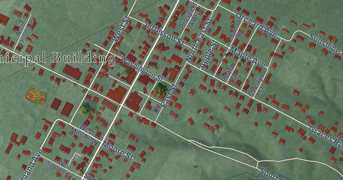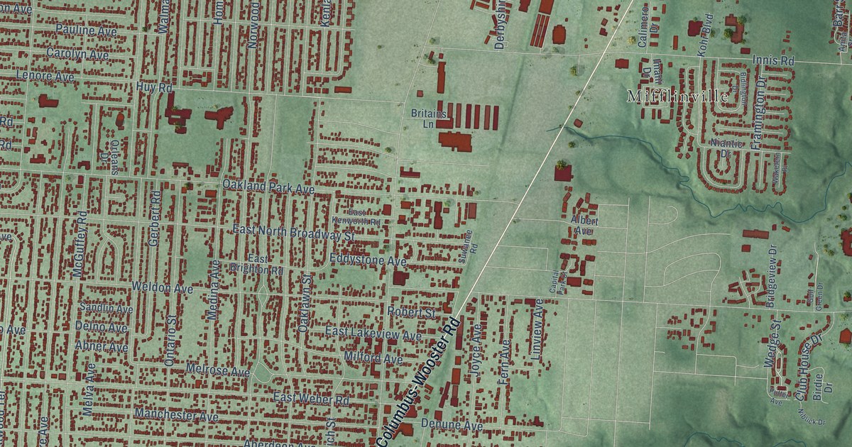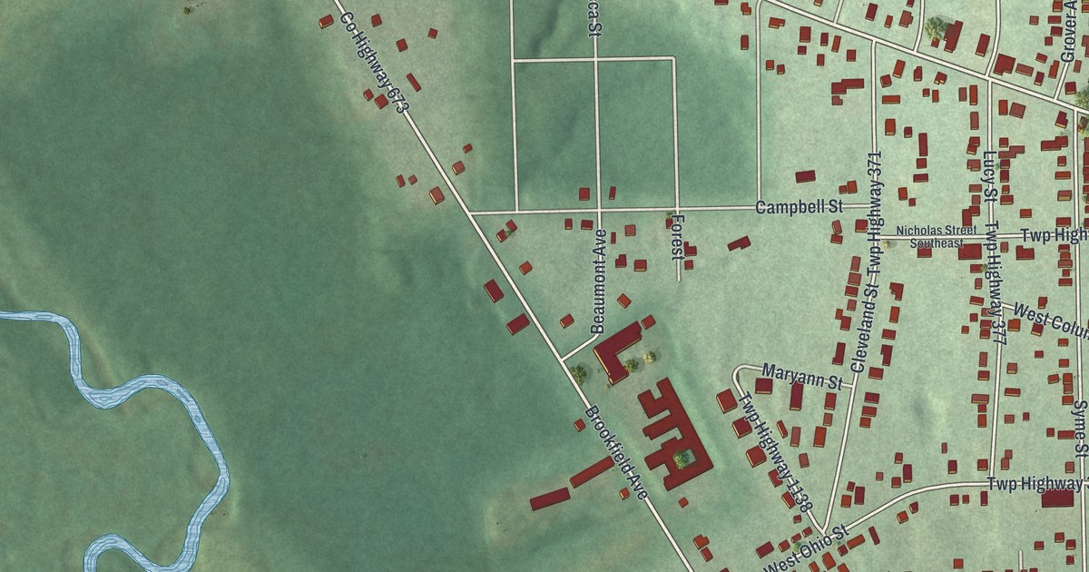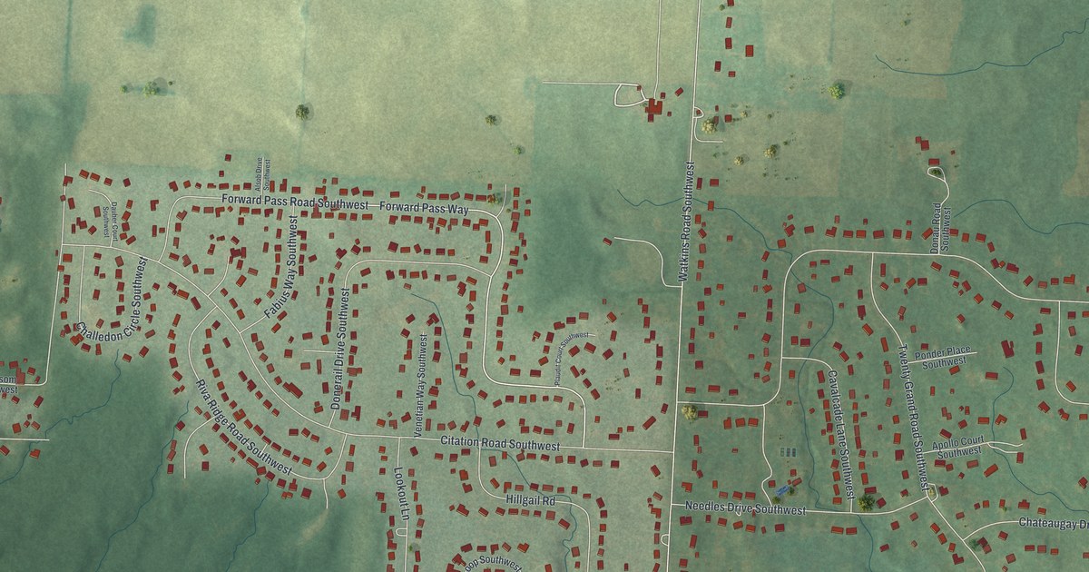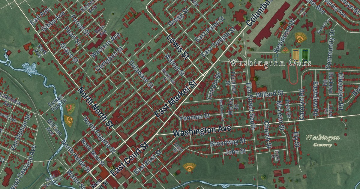
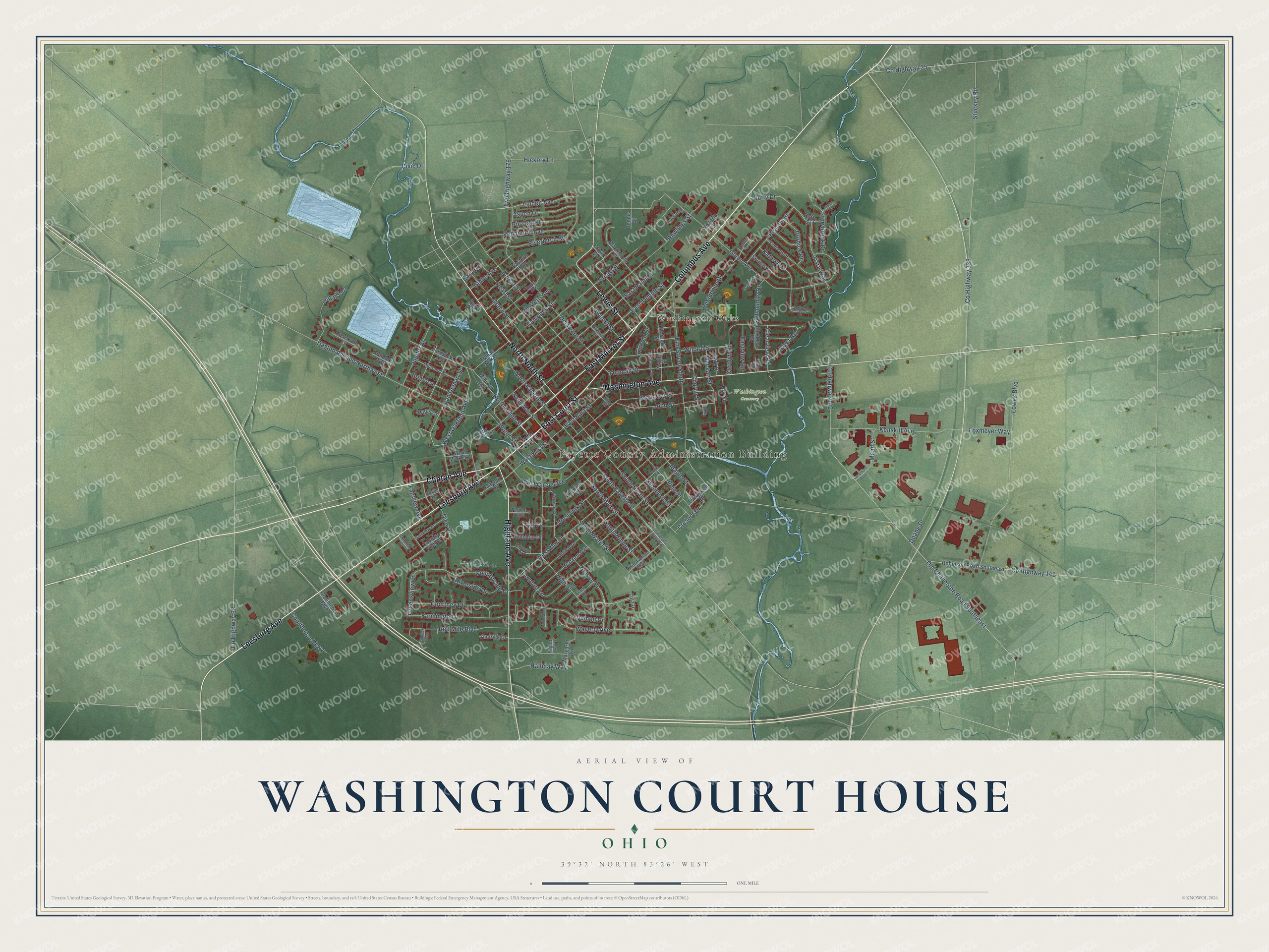
This beautifully detailed map of Washington Court House, Ohio was created in 2026 using aerial imagery combined with modern topographical, census, street and landmark data. It’s a one-of-a-kind view of Washington Court House that combines accurate data with a vintage aesthetic. The map shows every building in its true location, many of the roads carry their names, and the shaded topographic relief shows the shape of the land.
Explore an aerial view of Washington Court House, Ohio
On the map you’ll find Fayette County Administration Building, Washington Oaks, and Washington Cemetery, along with Leesburg Avenue, Washington Avenue, East Court Street, West Court Street, Clinton Avenue, Highland Avenue, Columbus Avenue, East Market Street, Lewis Street, and more. If you look closely you can even find your house accurately drawn in its correct location. Zoom in on the preview to look for yours.
Did you know this piece of Washington Court House, Ohio history?
Washington Court House is the longest city name in Ohio. Settlers from Virginia added Court House, as Virginians did for their county seats. The suffix set the city apart from other Ohio places named Washington. It became the official name under a new charter in the early 2000s.
Take a closer look at the Washington Court House map
Street and place names on the Washington Court House, Ohio map
These names are printed on the map of Washington Court House, Ohio.
Places: Fayette County Administration Building, Washington Oaks and Washington Cemetery.
Streets and roads: Leesburg Avenue, Washington Avenue, East Court Street, Clinton Avenue, Columbus Avenue, Highland Avenue, North North Street, East Market Street, Lewis Street, South Main Street, Duffy Drive, West Oakland Avenue.
More street names, A to Z
Albin Avenue, Andrick Drive, Aspen Drive, Beacon Street, Bereman Street, Blackstone Street, Bramble Avenue, Briar Avenue, Broadway Street, Brown Street, Buckeye Road, Burdick Drive, Campbell Street, Carolyn Road, Church Street, Civic Drive, Clearview Road, Colonial Court, Comfort Lane, Commerce Boulevard, Community Drive, Country Club Court, Country Club Drive, Countryside Drive, County Highway 35, County Highway 68, County Highway 139, County Highway 140, County Highway 141, Courthouse Parkway, Courtney Drive, Cresent Drive, Damon Drive, Dayton Avenue Northwest, Delaware Street, Dennis Street, Dice Drive, Doane Drive, Draper Street, Duffy Street, Duke Place, Eagles Way, Earl Avenue, East East Street, Eastern Avenue, East Paint Street, East Temple Street, Eastview Road, Elm Street South, Ely Street, Evergreen Drive, Eyman Park Drive, Fairview Avenue, Fairway Drive, Farmington Lane, Florence Street, Forest Street, Fourth Street, Foxmeyer Way, Frank Street, Gardner Court, Gibbs Avenue, Glenn Avenue, Golfview Drive, Grace Street, Greensview Lane, Gregg Street, Halliday Way, Harrison Street, Hickory Lane, High Street, Jenni Lane, John Street, Jupiter Street, Kathryn Court, Kathryn Street, Kenskill Avenue, Kimberly Drive, Kohler Drive, Lakeview Avenue, Landmark Boulevard, Laurel Road, Lincoln Drive, Linden Avenue, Lotz Drive, Lowes Boulevard, Maple Street, Margaret Lane, Mayfair Drive, McElwain Street, McLean Street, Mead Street, Millikan Avenue, Millwood Avenue, Nelson Place, North Fayette Street, North Hinde Street, North Main Street, Oak Drive, Ohio Avenue West, Old Chillicothe Road Southeast, Old US Route Southeast, Orvilla Avenue, Paddock Loop, Park Avenue, Park Drive, Pearl Street, Peddicord Avenue, Perdue Plaza, Pin Oak Place, Rawlings Street, Red Mile Boulevard, Reservoir Court, Residence Drive, Riverbirch Road, River Road, Riverside Drive, Robinson Road Southeast, Rose Avenue, Short Street, South Fayette Street, South Hinde Street, South North Street, South Water Street, Spring Avenue, Storybrook Drive, Stuckey Road, Summit Lane, Sycamore Street, Taylor Lane, Tiara Way, Twp Highway 176, Van Deman Street, Victoria Street, Village Court, Vine Street, Walnut Street, Warren Avenue, Water Street, Waverly Avenue, West Circle Avenue, West Court Street, West East Street, West Elm Street, Western Avenue, West Market Street, West Oak Street, West Temple Street, Willabar Drive, Willard Street, Willis Court, Worley Street, Yellowbud Place, Yeoman Street, York Court.
See the Washington Court House, Ohio map on a wall
The Washington Court House map as an 18 x 24 inch print in a black frame.

This beautifully detailed map of Washington Court House makes an attractive addition to your office, library, or den, and it can even be used to teach children the geography and history of the area. It also makes a great gift for someone who left Washington Court House and still calls it home. When you’re done exploring, click here to get your copy of the Washington Court House map.