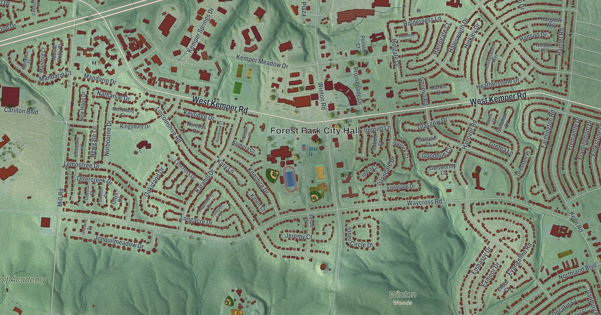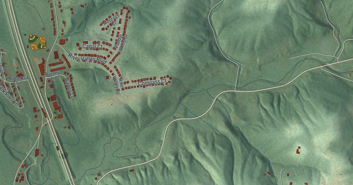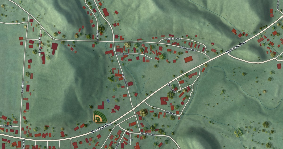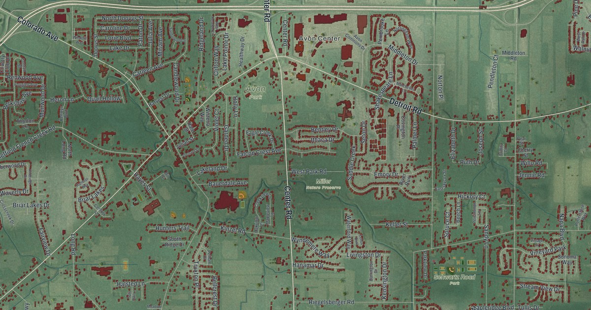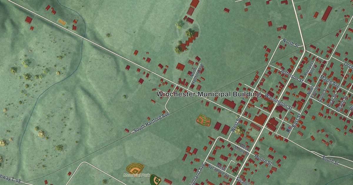
If you grew up in Winchester, or still have family on its streets, this print shows the whole village at once. It's a new aerial view of Winchester in Adams County, Ohio, made from modern data and given a vintage look. Hundreds of small red buildings gather along Main Street in the middle of green, rolling hills. A long blue lake sits in the hills to the west, and Appalachian Highway crosses the lower part of the sheet. Some streets are named for fruit, and Apple Street, Cherry Street, Peach Street, Pear Street and Plum Street all show up.
Streets and places on the Winchester map
On this map you'll find Main Street, Appalachian Highway, the Winchester Municipal Building, Memorial Park, Winchester Union Cemetery, Washington Street, Jefferson Street, North Street, South Street, Cross Street, Highland Avenue, Graces Run Road, Tri-County Road, Russellville Road, and more. Each red shape is a building, so zoom in on the preview and look for yours.
How Winchester started in 1815
General Joseph Darlington started Winchester on November 8, 1815. He named it for Winchester, Virginia, the town where he was born. The village was incorporated in 1864. Then the railroad came. For a time, Winchester was the eastern end of the Cincinnati and Eastern Railway. The first locomotive to reach town was called the "Dick Thomson." It was named for a local businessman who was a big reason the railroad got built. This story is told on an Ohio historical marker that stands on Main Street, north of Appalachian Highway.
Evelyn Longman, the sculptor born in Winchester
The same marker says Winchester is the birthplace of Evelyn Longman Batchelder. She was a sculptor. In 1919 she became the first woman sculptor to be made a full academician at the National Academy of Design. Back in 1880, about 550 people lived in Winchester. The town had its own newspaper, The Signal, and its own bank, the Winchester Bank. It also had a Baptist church, a Presbyterian church and a Methodist Episcopal church. Henry Howe wrote all of this down in his 1891 book about Ohio.
Keep Winchester's Main Street close
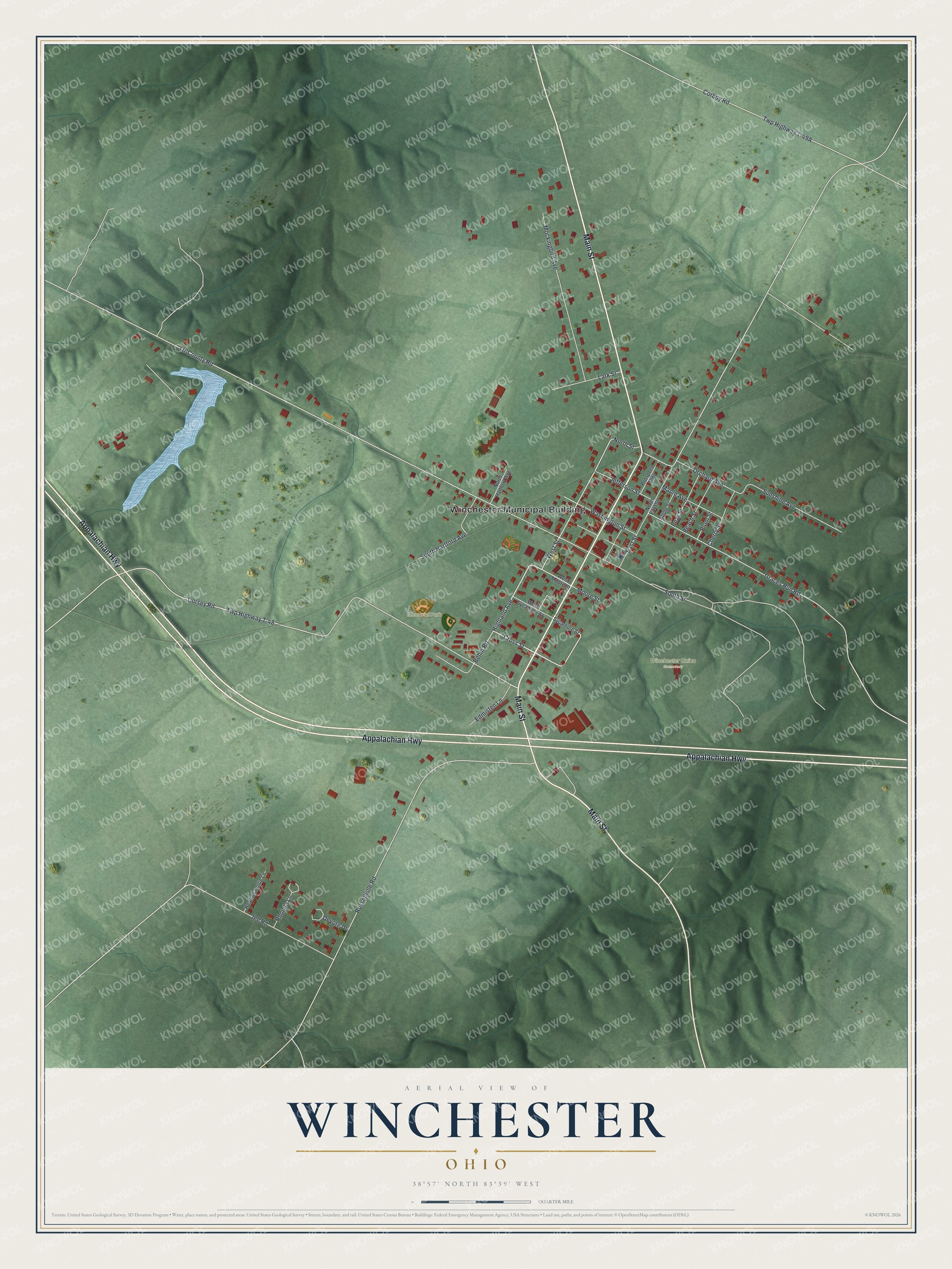
Created by KNOWOL in 2026, this print shows Winchester from above, with shaded green hills, red buildings, pale roads and a blue lake. The title panel reads "Aerial View of Winchester, Ohio" with 38°57' North 83°39' West set below it.
It fits a living room, a hallway or a home office. It's a good gift for someone who grew up near Memorial Park or moved away from Adams County. Open the preview and find your street. See sizes and frames for the Winchester map.