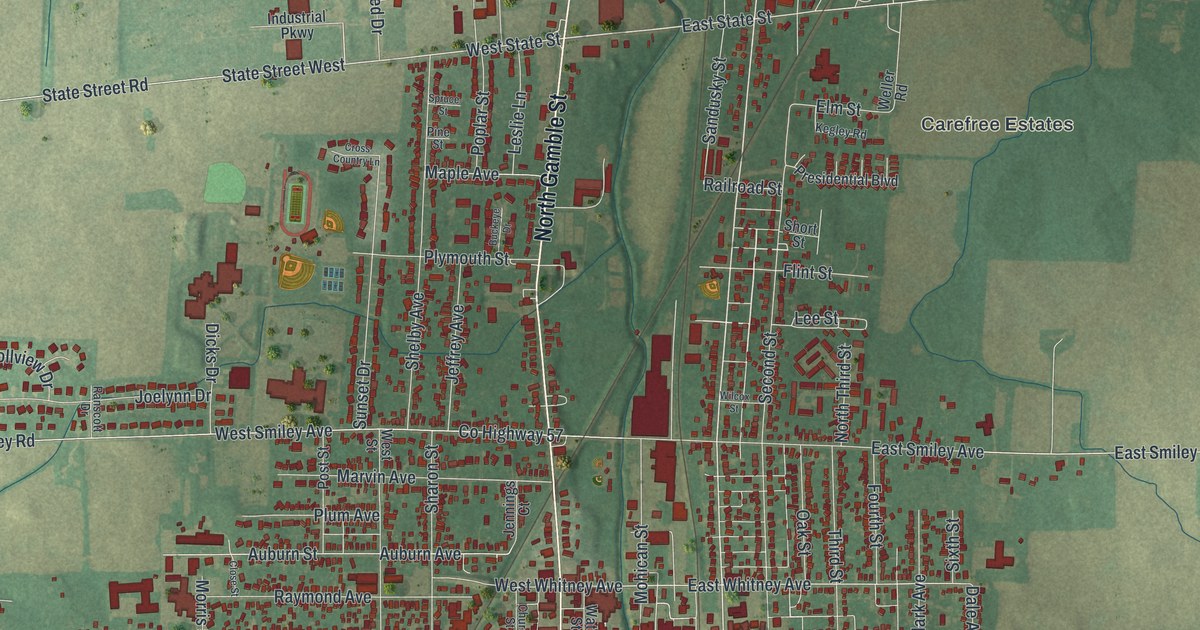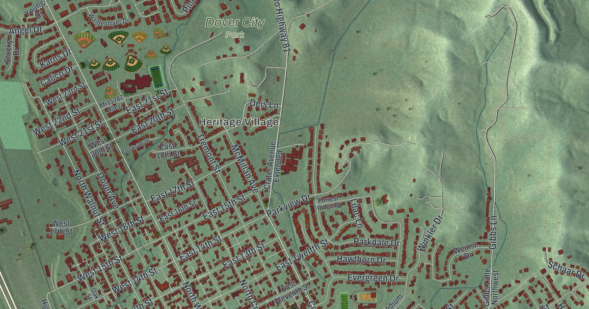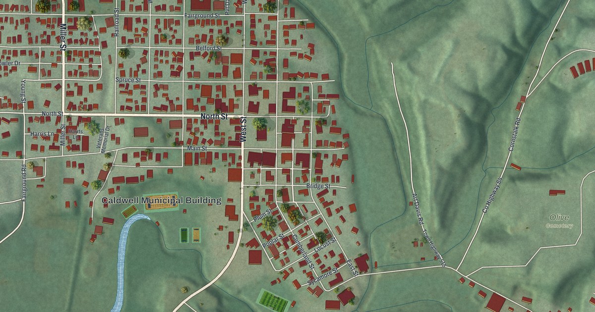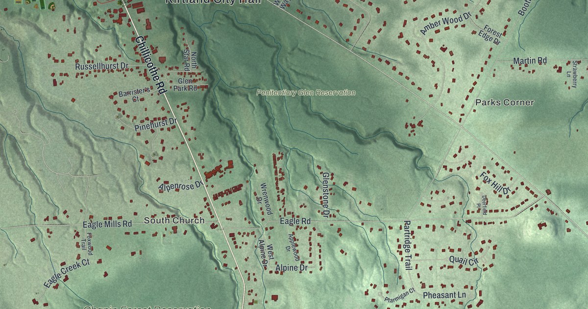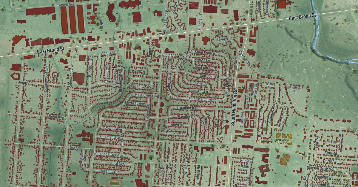
If you grew up on a street off East Broad or East Main, or your family still lives in Whitehall, this map will feel like home. It's a modern aerial view of Whitehall in Franklin County, Ohio, made from modern data and given a vintage look. You can see the tight grid of homes between East Broad Street and East Main Street, with South Hamilton Road running down the middle. The big red buildings sit at the top, and a blue creek winds along the right side.
Streets and parks on the Whitehall map
On this map you'll find East Broad Street, East Main Street, North Hamilton Road, South Hamilton Road, Yearling Road, Orton-Davis Park, Whitehall Community Park, Lamby Park, Wright Park, Mayflower Boulevard, Country Club Road, Rickenbacker Avenue, Norton Lane, Etna Road, and more. Each red shape is a building, so zoom in on the preview and look for yours.
Norton Field, the first airport in central Ohio
Whitehall has a place in flying history. Norton Field was the first airport in central Ohio, says the Ohio History Connection's Remarkable Ohio marker. It was named for Fred William Norton, a Columbus native. He was a star athlete at Ohio State and a pilot in World War I. In July 1918, he led a squadron in one of the first big American air fights of that war. Less than three weeks later, his plane was shot down in France, and he died of his wounds. On June 30, 1923, Eddie Rickenbacker came for the field's opening. That same day, Columbus got its first air mail. The marker stands on East Broad Street, between 4383 and 4385. On the map, you can also spot Norton Lane and Rickenbacker Avenue.
The supply depot on East Broad Street
Just to the west sits another big part of the town's story. Since 1918, a large military supply center has stood at 3990 East Broad Street. It was picked because three railroad lines ran right by it. During World War II, it was the largest military supply base in the world, with more than 10,000 workers. Look for the long rows of red buildings north of East Broad Street, near Roosevelt Avenue.
A Whitehall map from East Broad Street to Lamby Park
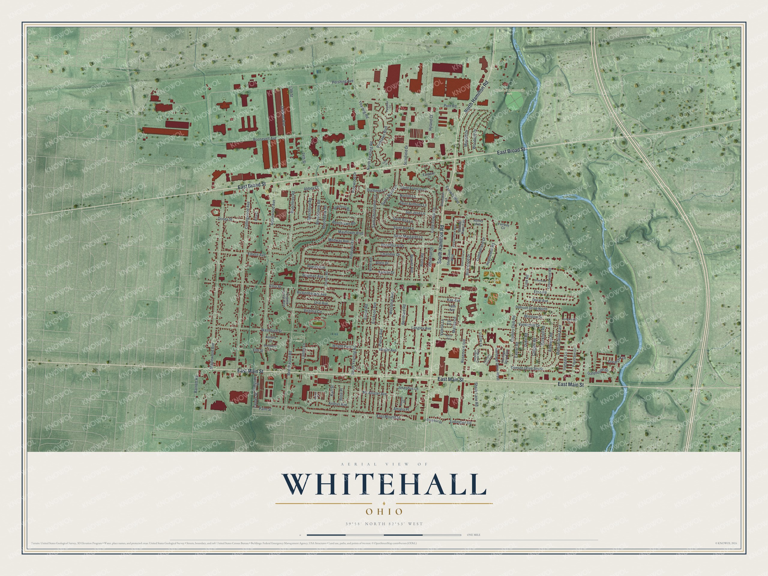
Created by KNOWOL in 2026, this print shows Whitehall from above in soft greens, with every building in deep red and the creek in blue. The title panel at the bottom reads AERIAL VIEW OF WHITEHALL, OHIO, with 39°58' NORTH 82°53' WEST beneath it.
It fits a living room, a home office or a hallway by the front door. It's a good gift for someone who grew up near Whitehall Community Park or Orton-Davis Park and has since moved away. Open the preview and find your street. See sizes and frames for the Whitehall map.