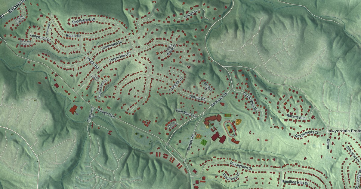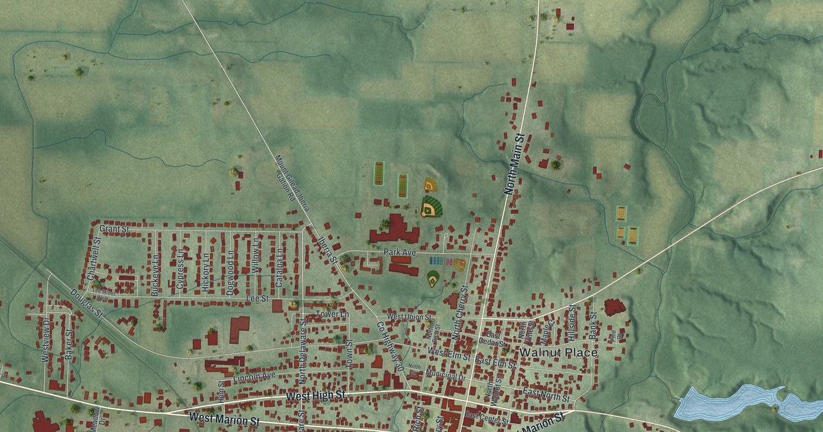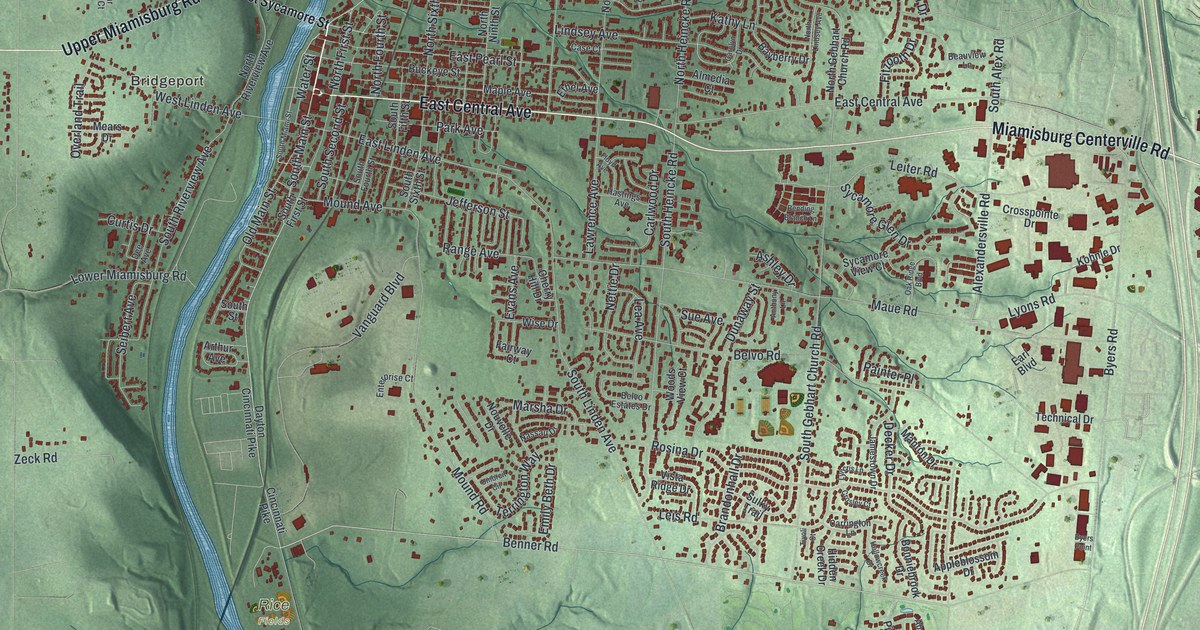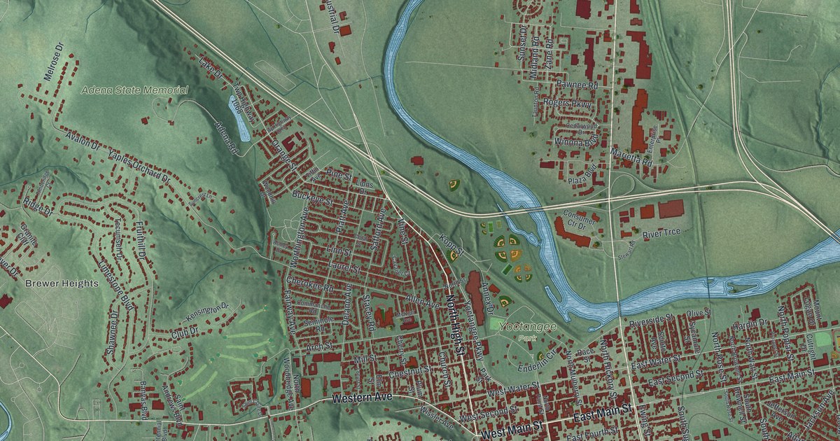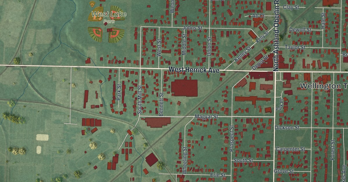
If you grew up in Wellington or still have family near Wellington Town Hall, this map shows home. It's a modern aerial view of Wellington in Lorain County, Ohio, made from modern data and given a vintage look. You'll see the village's tight grid of red buildings, rail lines cutting across on a slant, and green farm fields on every side. A big triangle of blue water sits on the west side, and a winding lake curls near the bottom corner.
How Wellington got its start in 1818
On this map you'll find North Main Street, South Main Street, West Herrick Avenue, East Herrick Avenue, Wellington Town Hall, Greenwood Cemetery, West Lake Park, Depot Street, Magyar Street, Maple Street, Prospect Street, Courtland Street, Jones Road, and more. Each red shape is a building, so zoom in on the preview and look for yours.
The 1879 History of Lorain County says Wellington got its first settlers in 1818. They came from Massachusetts. Nearby Huntington was settled the same year by people from the same state. The book also tells of a newspaper whose heading read "Published at Oberlin and Wellington" in its first few years. For a time, people in Wellington edited one of its pages. Today North Main Street and South Main Street meet in the middle of the village, close to Wellington Town Hall.
Old St. Patrick's Church and the Sprague House
Some of the old buildings here are on the National Register of Historic Places. Old St. Patrick's Church, at 512 North Main Street, was listed in 1979. Two houses south of the village were added that same year. The Sprague House stands where Ohio 58 meets Jones Road. The Mosher House is also south of town along Ohio 58. Both fall inside this map's frame, so look near Jones Road at the bottom of the sheet.
Wellington, from West Lake Park to Greenwood Cemetery
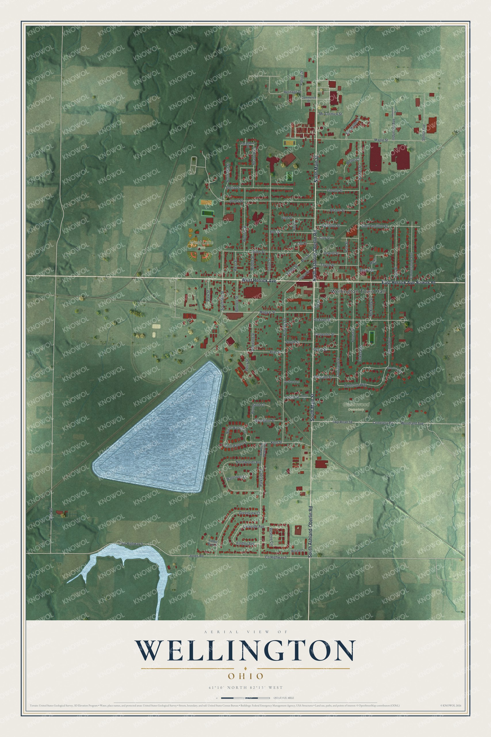
Created by KNOWOL in 2026, this print shows Wellington from above, with red buildings set over green shaded hills and farm fields. The title panel reads "Aerial View of Wellington, Ohio" with 41°10' North 82°13' West printed below.
It suits a kitchen, a front hall or a home office. It's a kind gift for someone who moved away from Wellington and would like to find Greenwood Cemetery, West Lake Park and Wellington Town Hall on the wall. Open the preview and find your street. See sizes and frames for the Wellington map.