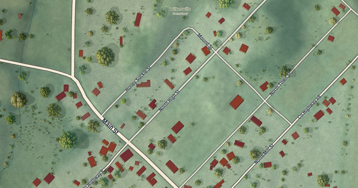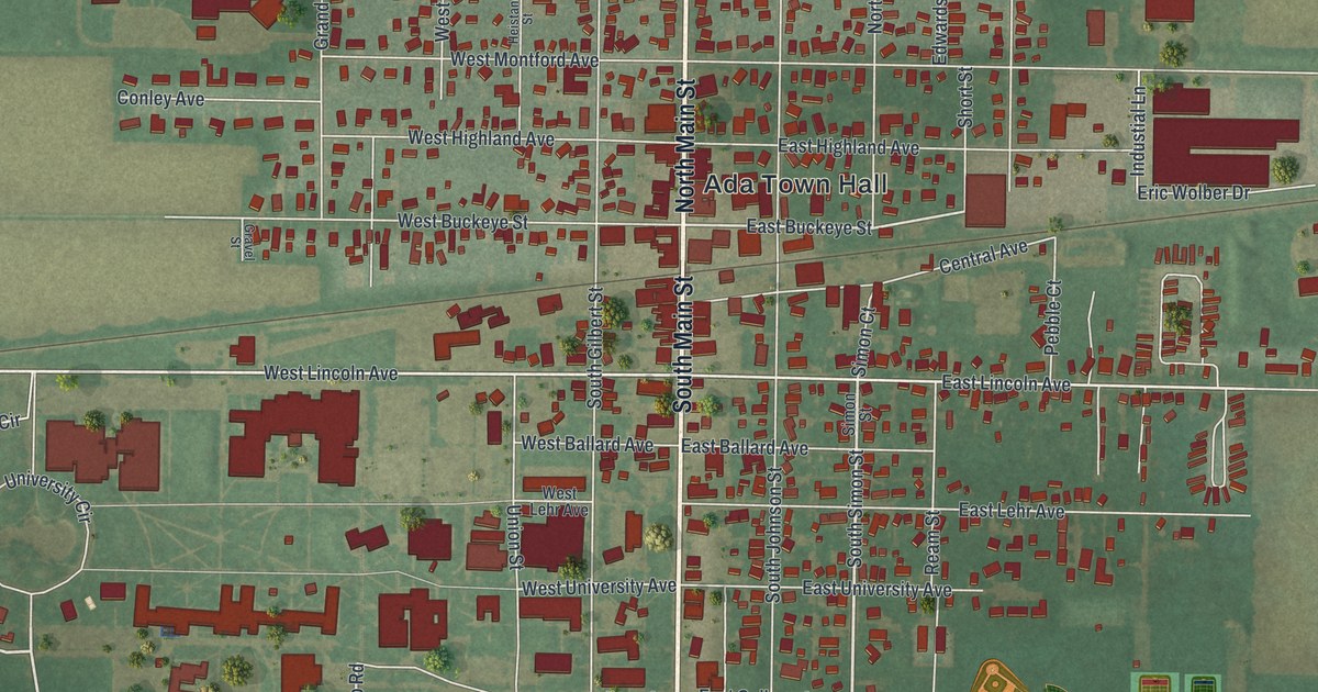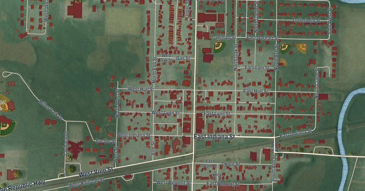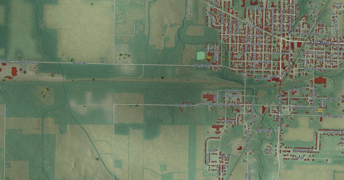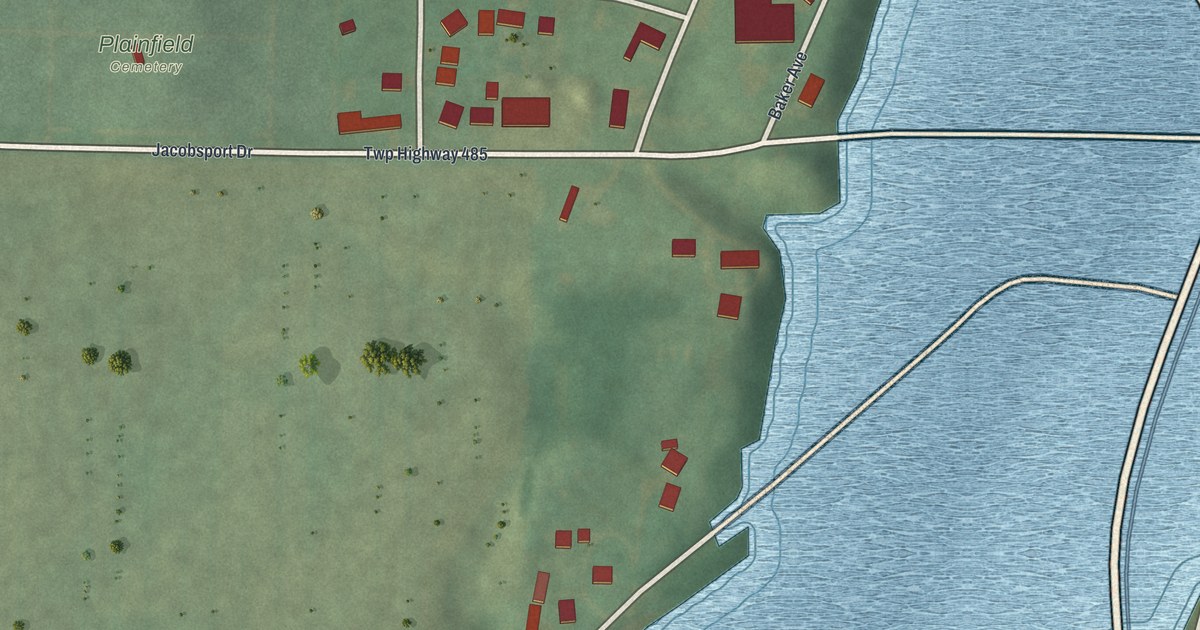
If you grew up on Main Street in Plainfield, or have family resting in Plainfield Cemetery, this map was made for you. It's a modern aerial view of Plainfield in Coshocton County, Ohio, built from modern data and given a vintage look. The village sits in the top half of the sheet, with its small grid of streets set just below Main Street. Green fields spread out to the west. Wide bands of blue water wrap around the east and south, with green hills rising on the far side.
The 89 Civil War soldiers in Plainfield Cemetery
On this map you'll find Main Street, Church Street, Maple Street, College Avenue, Wills Creek Avenue, Commercial Avenue, Park Avenue, Baker Avenue, Cross Street, Linton, Jacobs Square, Jacobsport Drive, Twp Highway 485, Plainfield Cemetery, and more. Each red shape is a building, so zoom in on the preview and look for yours.
Plainfield Cemetery was started in 1810. Many of the people who founded Plainfield and Linton Township are buried there. The Ohio historical marker at the cemetery says veterans of every major war since the Revolutionary War rest on that hill. The Civil War count stands out most. Eighty-nine Civil War soldiers are buried here. That's nearly as many as the veterans of all the other wars from the War of 1812 to Vietnam put together. The marker says that number shows how deeply Plainfield took part in the war. On the map, you'll find the cemetery's name printed near Church Street and Jacobsport Drive.
How George Crile got his start in Plainfield
Another marker stands in a small park bordered by Maple Street, Linton, Church Street and Wills Creek Avenue. It tells the story of George W. Crile, born in 1864 at Chili in Crawford Township. Before he became a doctor, he taught school for two years. Then he became principal of Plainfield School. The village doctor, Dr. A.E. Walker, loaned him medical books. He also took Crile along on calls to see rural patients. Later in life, Crile credited his early years in education in Plainfield as one of the most influential points in his career, according to the marker.
Main Street and Plainfield Cemetery on your wall
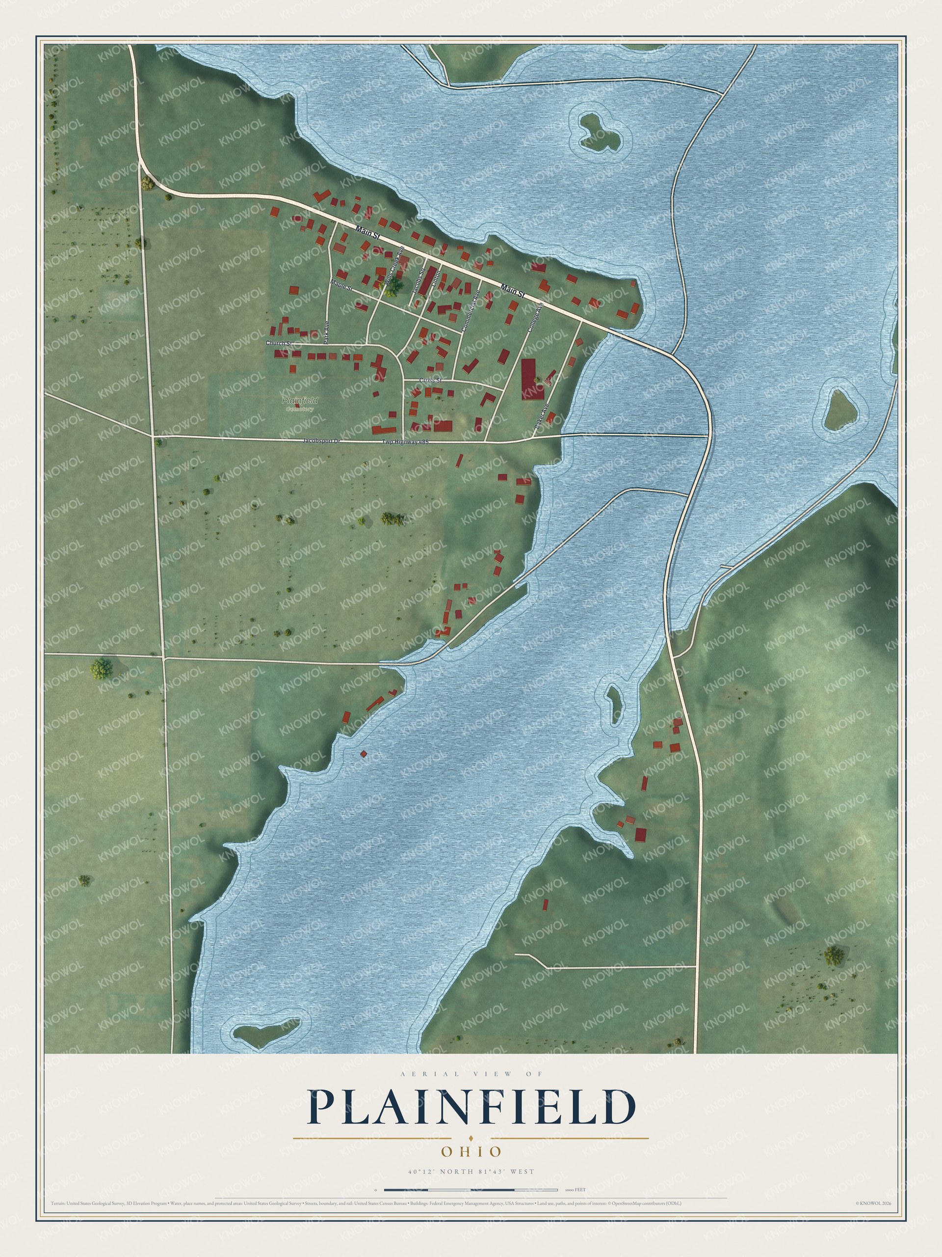
Created by KNOWOL in 2026, this print shows Plainfield from above in soft greens and blues, with every building marked as a small red shape. The title panel at the bottom reads AERIAL VIEW OF PLAINFIELD, OHIO, with the coordinates 40°12' NORTH 81°43' WEST.
It fits well in a living room, a hallway, a den or an office. It's a kind gift for someone with family buried in Plainfield Cemetery, or for anyone who grew up on Main Street and moved away. Open the preview and find your street. See sizes and frames for the Plainfield map.