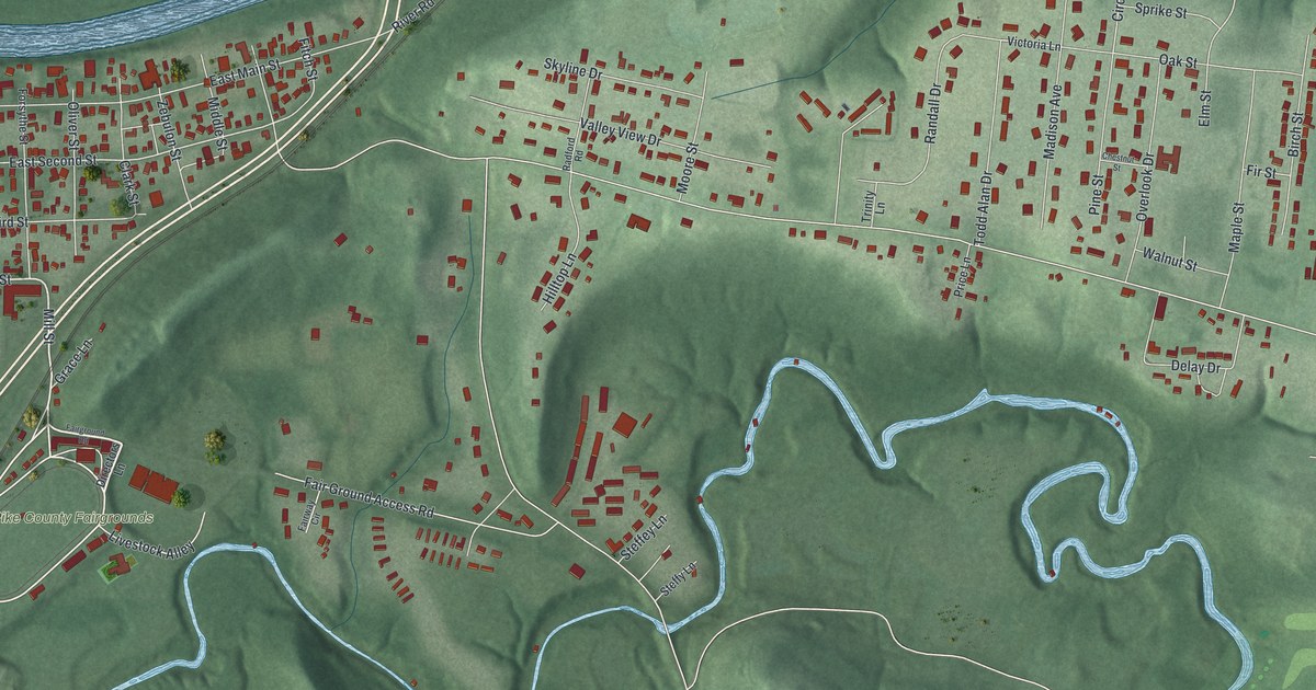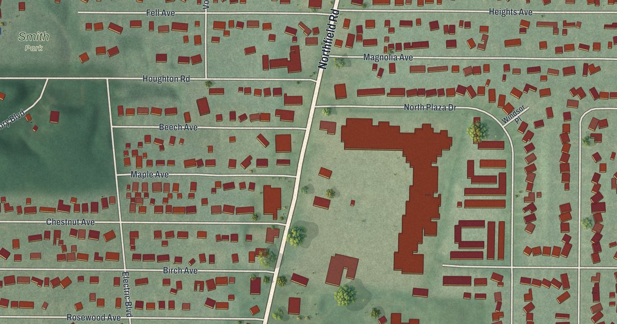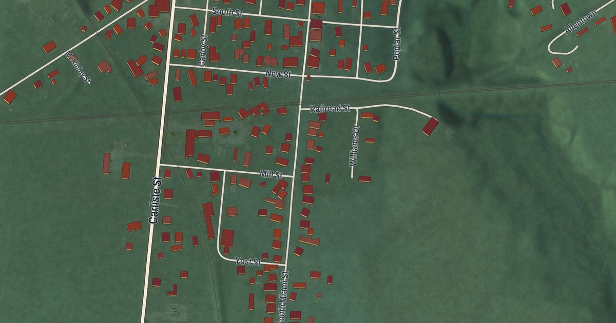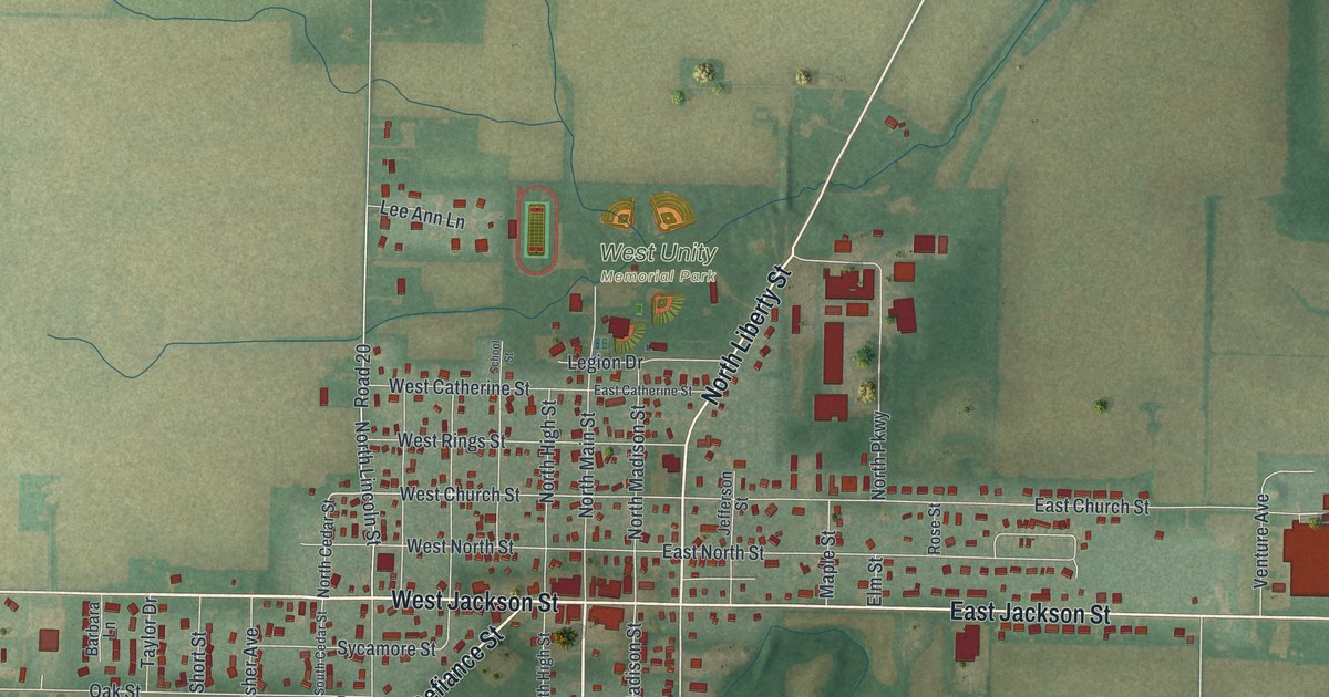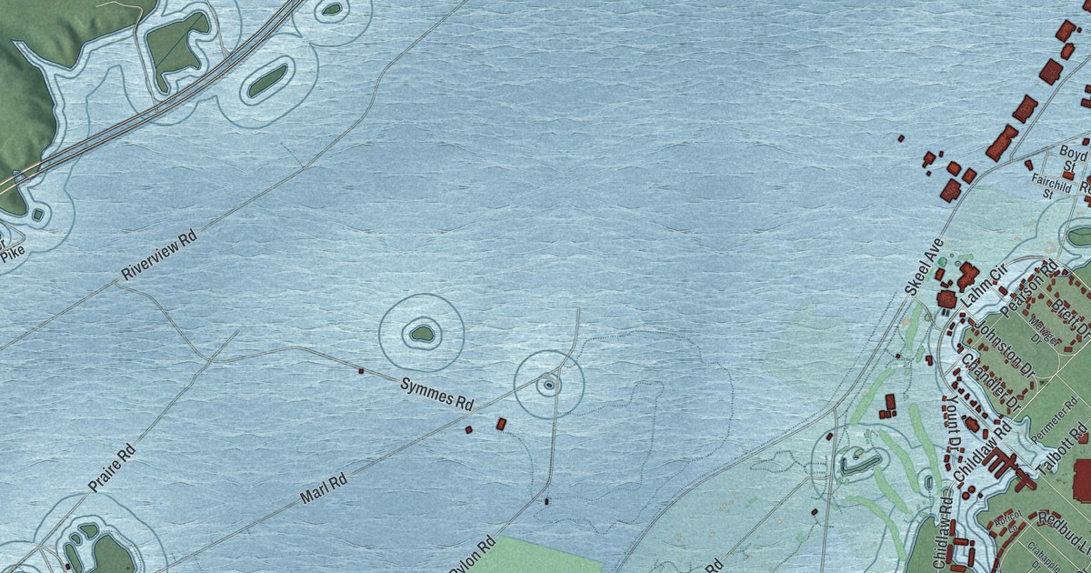
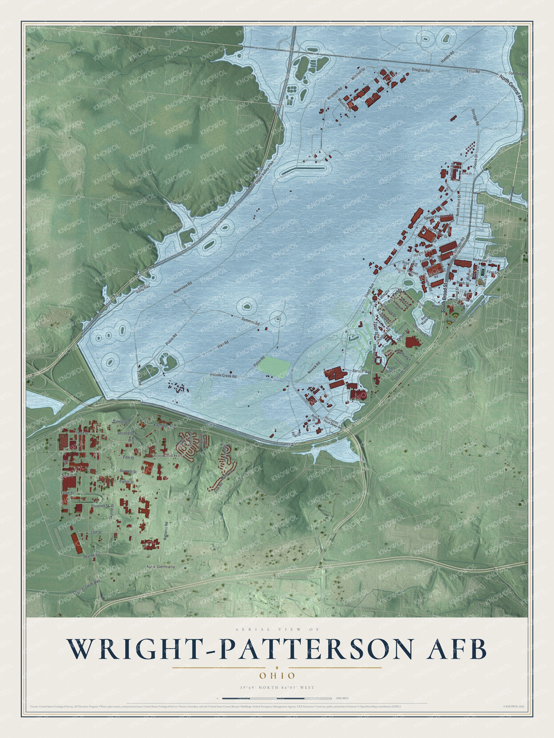
This beautifully detailed map of Wright-Patterson AFB, Ohio was created in 2026 using aerial imagery combined with modern topographical, census, street and landmark data. It's a modern aerial view of Wright-Patterson AFB in Greene County, Ohio, that combines modern data with a vintage aesthetic. The roads feature printed names, and if you look closely you can find your exact house accurately shown in its correct location.
Explore an aerial view of Wright-Patterson AFB, Ohio
On this map you'll find Woodland Hills, New Germany, North Central Avenue, South Broad Street, Skyline Drive, Skyline Road, Third Street, Lahm Circle, Upper Valley Pike, Kauffman Avenue, Childlaw Road, Spruce Way, and more. Each red shape is a building, so zoom in on the preview and look for yours.
Every town has a first chapter, and Wright-Patterson AFB is no exception. Huffman Prairie, a 100-acre cow pasture beside Simms Station on the interurban line, became the Wright brothers' flying field. Here in 1904 and 1905 Wilbur and Orville built and tested the world's first practical airplane, the Wright Flyer III, and they always said they really learned to fly on Huffman Field. The owner, Dayton banker Torence Huffman, let them use the field rent free if they would drive his cows to a safe place first. That's from the National Register of Historic Places.
Wright-Patterson AFB is a community in Greene County. The Census Bureau counted 1,567 people here in 2020.
Take a closer look at the Wright-Patterson AFB map
Names on this map
These names are printed on this map.
Places: Woodland Hills and New Germany.
Streets and roads: North Central Avenue, South Broad Street, Skyline Drive, Skyline Road, Third Street, Lahm Circle, Upper Valley Pike, Kauffman Avenue, Childlaw Road, Spruce Way, First Street, Hebble Creek Road.
More street names, A to Z
13th Street, 32nd Street, Allbrook Drive, Apricot Lane, Beech Street, Birch Street, Boyd Street, Breene Drive, Brett Drive, Buckeye Circle, Buckner Road, Cedar Street, Chandler Drive, Chase Street, Chestnut Circle, Chestnut Street, Chidlaw Road, Colonel Glenn Highway, Cooper Road, Coyle Road, Crabapple Drive, Douglas Road, Dupont Way, East Street, Eighth Street, Eleventh Street, Fairchild Street, Fifth Street, Fitzgerald Road, Forbes Street, Friar Circle, Haddix Road, Hemlock Street, Jarvis Road, Johnston Drive, Littrell Road, Longstreet Lane, Loop Road, Lower Valley Pike, Marl Road, McClellan Drive, McClerron Mem Skwy, Memorial Road, Metzger Drive, Middy Drive, Mitchell Drive, Mitchell Road, Mustang Drive, National Road, North Street, North West Street, Novick Road, Oak Street, Peach Tree Lane, Pearson Road, Perimeter Road, Pierce Drive, Pine Street, Plum Street, Praire Road, Pylon Road, Redbud Lane, Redman Drive, Red Maple Drive, Redwood Street, Riverview Road, Robin Street, Sandhill Road, Schuster Road, Second Street, Seventh Street, Shields Avenue, Sixth Street, Skeel Avenue, Springer Road, Storage Road, Sugar Maple Drive, Sundorph Drive, Swann Pearson Road, Symmes Road, Talbott Road, Tenth Street, Tillers Road, Van Patton Drive, Willow Court, Wright Avenue, Yount Drive, Zink Road.
See it on a wall
The Wright-Patterson AFB map as a framed print. Swipe for more.


Created by KNOWOL in 2026. The buildings are small red shapes, the roads carry their printed names, and shaded relief shows the shape of the land. The title panel reads "AERIAL VIEW OF WRIGHT-PATTERSON AFB, OHIO" with 39°49' NORTH 84°03' WEST.
Hang it in the hallway, the office or the cabin, or give it to someone who left Wright-Patterson AFB and still calls it home. Open the preview and look for a street you know. See sizes and frames for the Wright-Patterson AFB map.