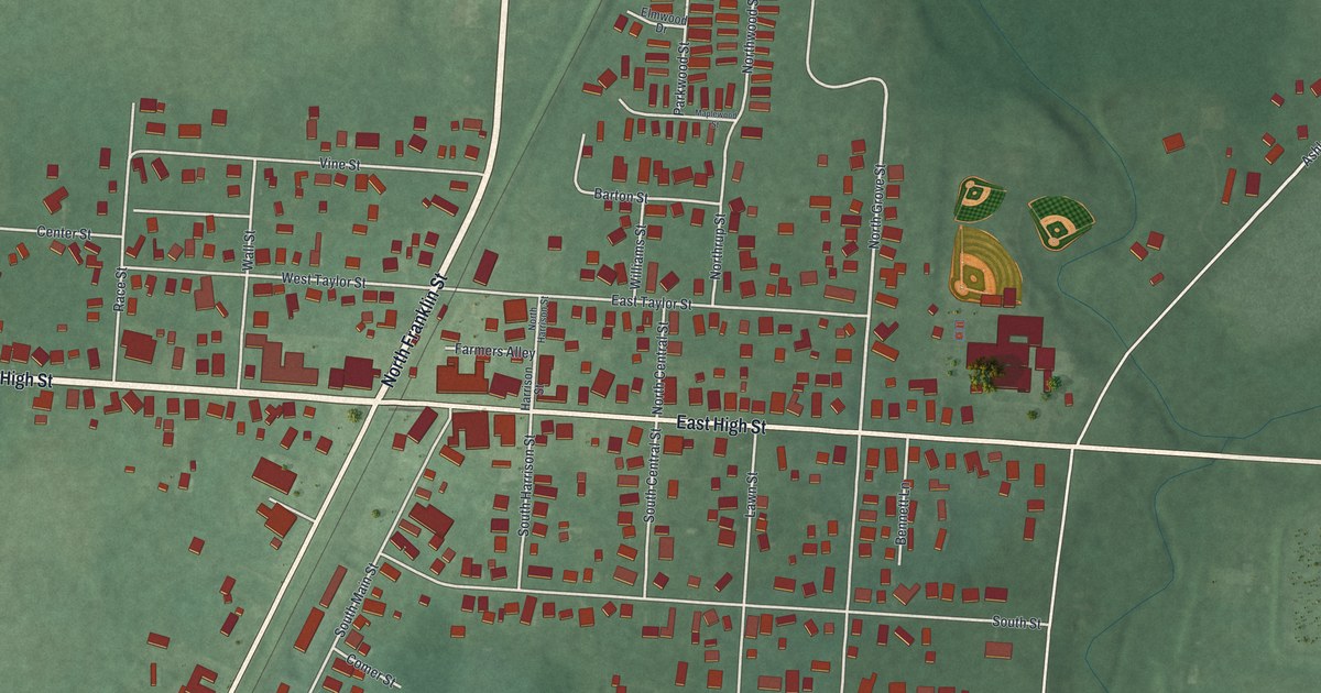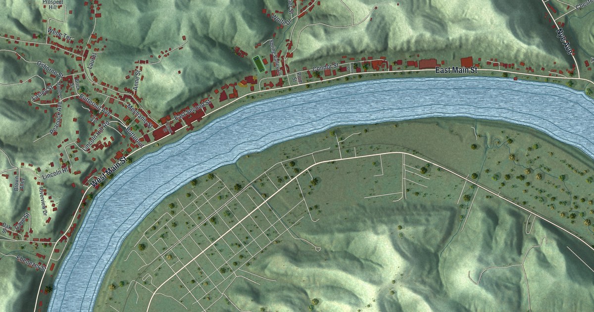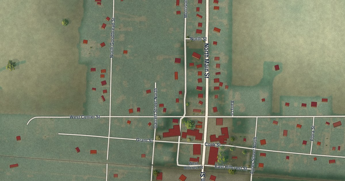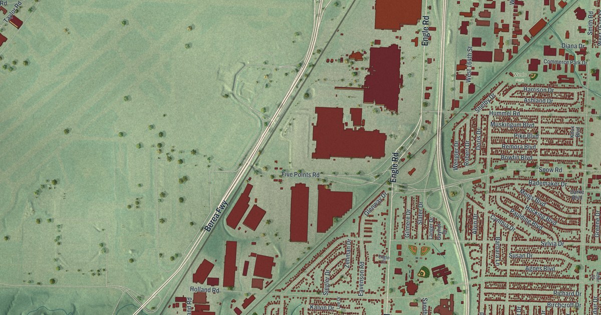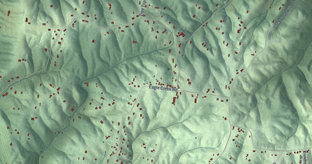
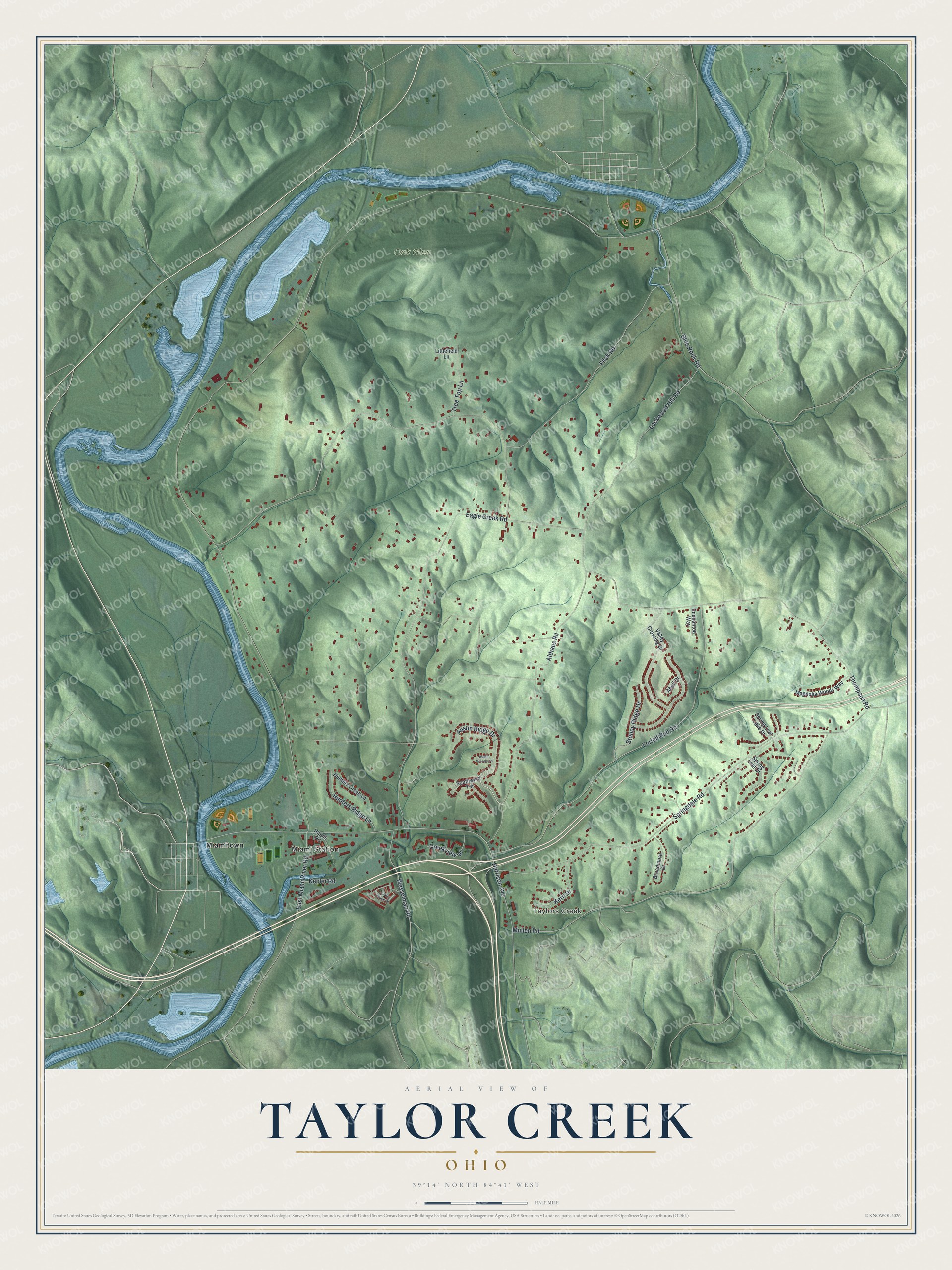
This beautifully detailed map of Taylor Creek, Ohio was created in 2026 using aerial imagery combined with modern topographical, census, street and landmark data. It's a modern aerial view of Taylor Creek in Hamilton County, Ohio, that combines modern data with a vintage aesthetic. The roads feature printed names, and if you look closely you can find your exact house accurately shown in its correct location.
Explore an aerial view of Taylor Creek, Ohio
On this map you'll find Taylors Creek, Miami Station, Oak Glen, Miamitown, Althaus Road, Austin Ridge Drive, East Miami River Road, Thompson Road, Springdale Road, Mullen Road, Eagle Creek Road, Harrison Avenue, and more. Each red shape is a building, so zoom in on the preview and look for yours.
Here is a piece of Taylor Creek history. St. Bernard parish began when George and Katherina Wingerter, owners of the Twelve Mile House on Harrison Pike, petitioned Archbishop John Baptist Purcell for a new parish in Taylor Creek. They gave three acres for a church and cemetery, and the cornerstone of the first church, which cost 800 dollars, was laid on November 21, 1867. The present church, built of native stone with a handmade flat tile roof, held its first Mass just before Christmas 1935. City water had not yet reached Taylor Creek at the time. That's from the Mary Queen of Heaven Parish.
Taylor Creek is a community in Hamilton County. The Census Bureau counted 4,056 people here in 2020.
Take a closer look at the Taylor Creek map
Names on this map
These names are printed on this map.
Places: Taylors Creek, Miami Station, Oak Glen and Miamitown.
Streets and roads: Althaus Road, Austin Ridge Drive, East Miami River Road, Thompson Road, Springdale Road, Mullen Road, Eagle Creek Road, Harrison Avenue, Forfeit Run Road, Flick Road, Blue Rock Road, Lockwood Hill Road.
More street names, A to Z
Abell Court, Austin Woods Lane, Broadmore Drive, Country Village Drive, Creekview Drive, Enchanted Way, Hunters Creek Lane, Hunters Ridge Lane, Kepler Road, Kern Drive, Littlefield Lane, Magnolia Woods Way, Ripple Road, Southwind Terrace, Spring Leaf Drive, Spring Leaf Lake Drive, Stoney Ridge Drive, Tree Top Lane, Valley Crossing Drive, Wesselman Road.
See it on a wall
The Taylor Creek map as a framed print. Swipe for more.


Created by KNOWOL in 2026. The buildings are small red shapes, the roads carry their printed names, and shaded relief shows the shape of the land. The title panel reads "AERIAL VIEW OF TAYLOR CREEK, OHIO" with 39°14' NORTH 84°41' WEST.
It suits a den, a classroom or a front hall, and it makes a gift for anyone with Taylor Creek roots. Open the preview and find the block you know. See sizes and frames for the Taylor Creek map.