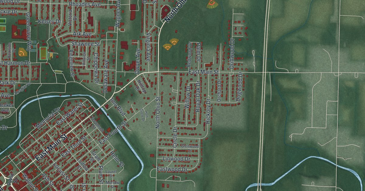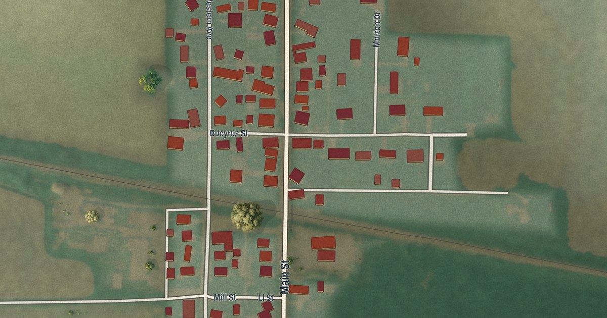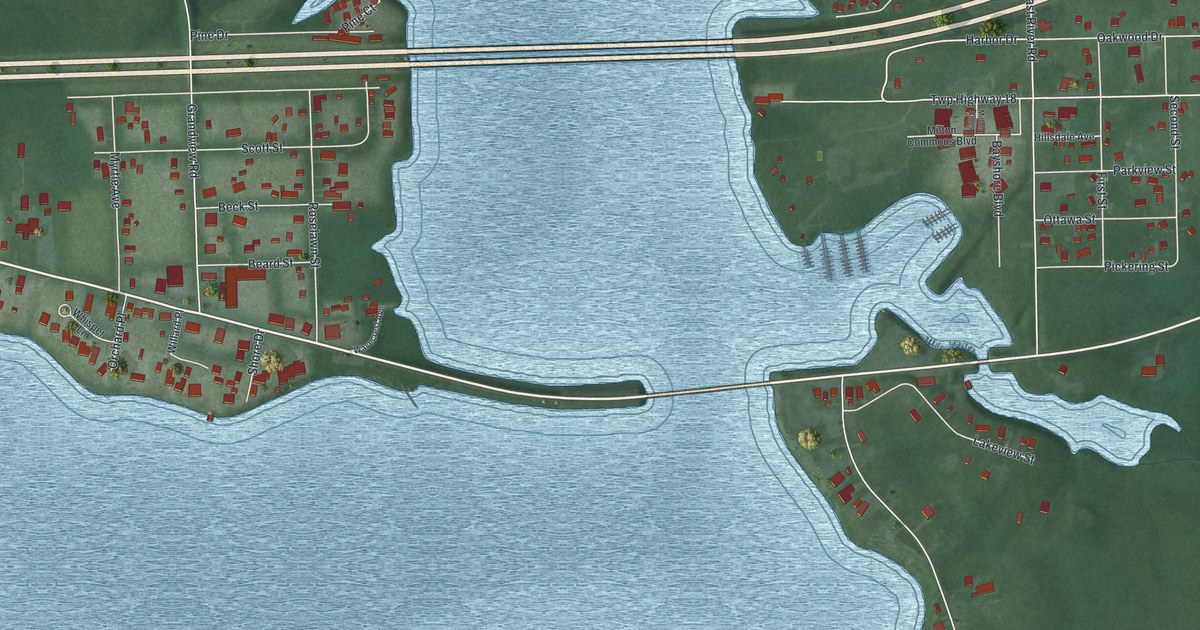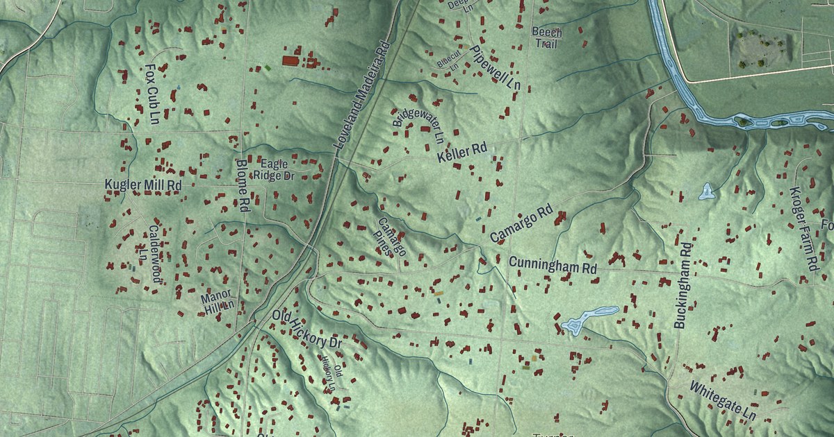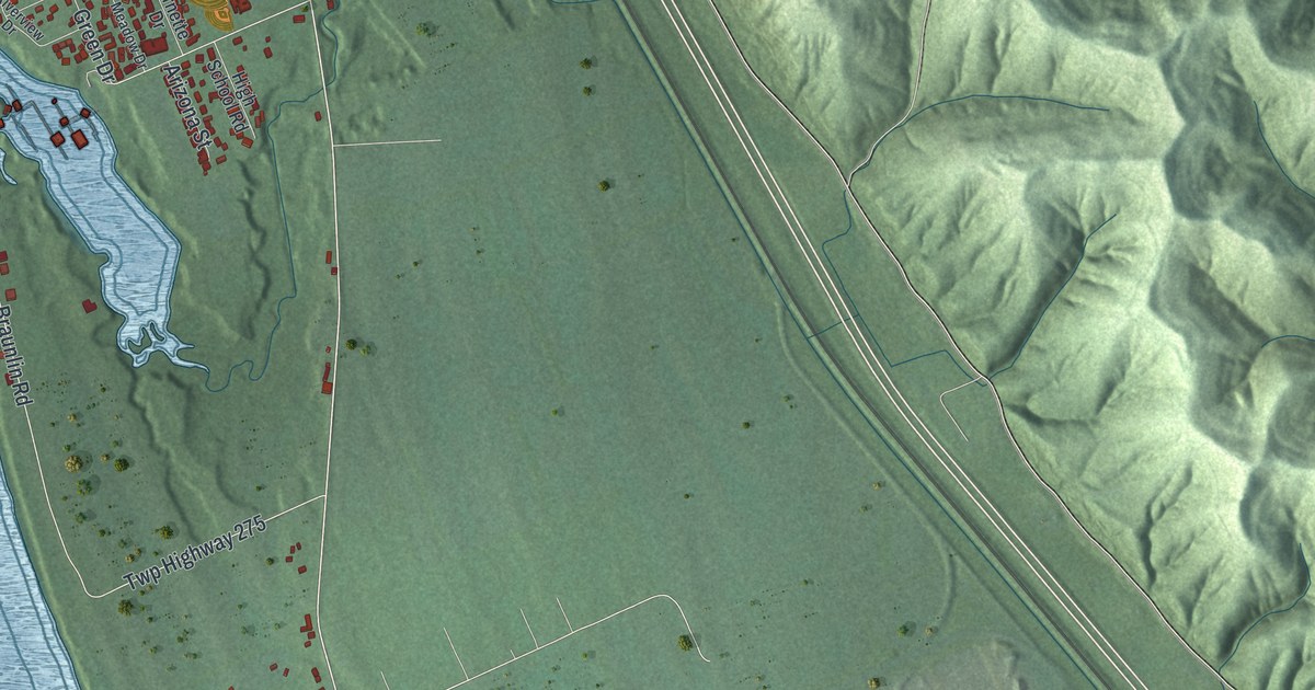
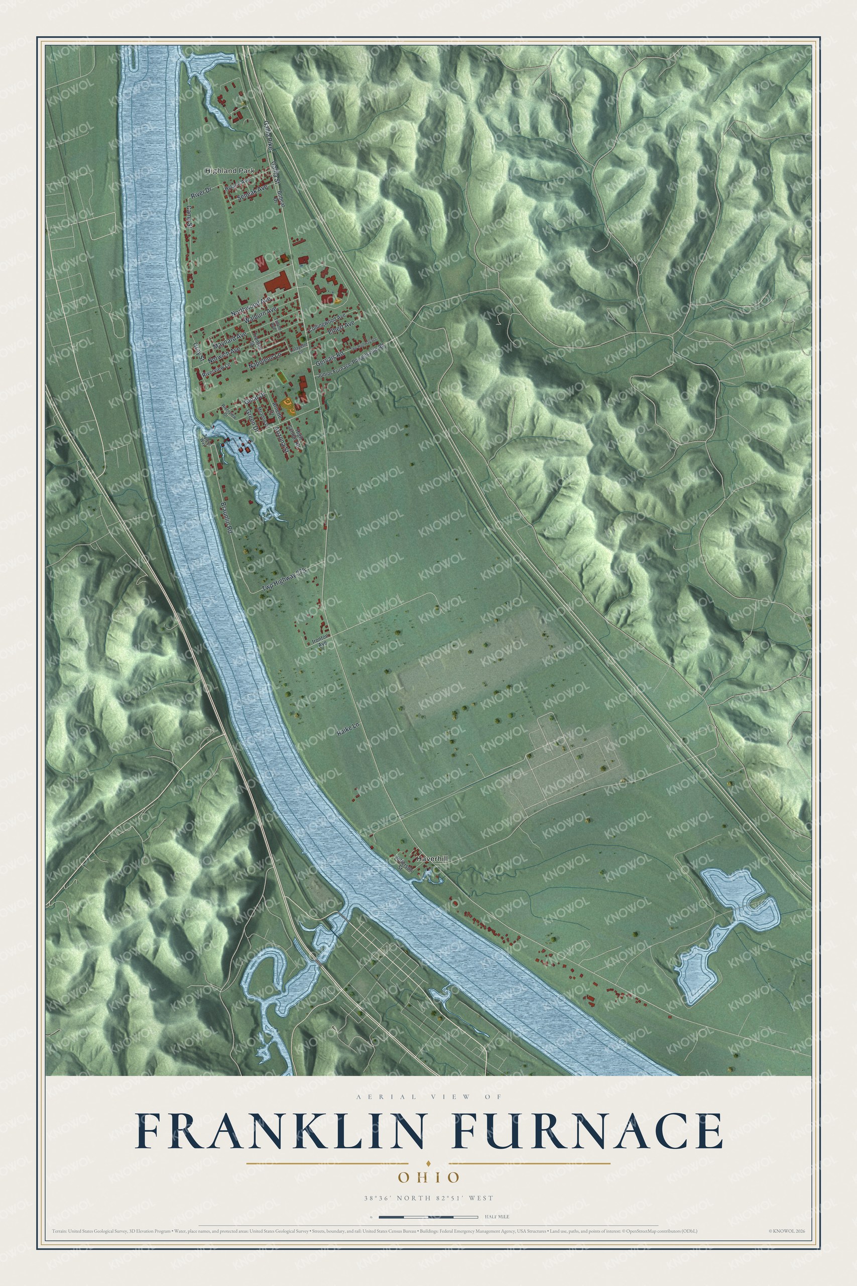
This beautifully detailed map of Franklin Furnace, Ohio was created in 2026 using aerial imagery combined with modern topographical, census, street and landmark data. It's a modern aerial view of Franklin Furnace in Scioto County, Ohio, that combines modern data with a vintage aesthetic. The roads feature printed names, and if you look closely you can find your exact house accurately shown in its correct location.
Explore an aerial view of Franklin Furnace, Ohio
On this map you'll find Highland Park, Haverhill, Gallia Pike, Gallia Street, Northwood Avenue, River Drive, Braunlin Road, Twp Highway 275, Norwich Avenue, Maynard Avenue, Walburn Avenue, Camp Street, and more. Each red shape is a building, so zoom in on the preview and look for yours.
Here is a piece of Franklin Furnace history. The iron furnace called Franklin Furnace was built by five men from New Hampshire, Daniel Young, Jesse Y. Whitcomb, Josiah Merrill, John Hurd and Martin Ruter, about half a mile from the Ohio River. It went into blast in 1827 as the first blast furnace in Scioto County and made iron until it blew out in 1860. Later the Franklin Furnace station of the Norfolk and Western railroad stood near the old furnace site. That's from the History of Scioto County.
Franklin Furnace is a community in Scioto County. The Census Bureau counted 1,525 people here in 2020.
Take a closer look at the Franklin Furnace map
Names on this map
These names are printed on this map.
Places: Highland Park and Haverhill.
Streets and roads: Gallia Pike, Gallia Street, Northwood Avenue, River Drive, Braunlin Road, Twp Highway 275, Norwich Avenue, Maynard Avenue, Walburn Avenue, Camp Street, Gervais Road, Elbert Avenue.
More street names, A to Z
Arizona Street, Arnette Drive, Bobcat Drive, Collingwood Avenue, Ginat Drive, Gray Street, Green Drive, High School Road, Hyland Avenue, Ironton Avenue, Jefferson Street, Junior Furnace-Powellsville Road, Lafayette Lane, Meadow Drive, Napoleon Lane, Raike Lane, Riverview Drive, Riverview Lane, Seneak Avenue, Trenton Street, Tulane Avenue, Twp Highway 500, Tylers Way.
See it on a wall
The Franklin Furnace map as a framed print. Swipe for more.


Created by KNOWOL in 2026. The buildings are small red shapes, the roads carry their printed names, and shaded relief shows the shape of the land. The title panel reads "AERIAL VIEW OF FRANKLIN FURNACE, OHIO" with 38°36' NORTH 82°51' WEST.
It suits a den, a classroom or a front hall, and it makes a gift for anyone with Franklin Furnace roots. Open the preview and find the block you know. See sizes and frames for the Franklin Furnace map.