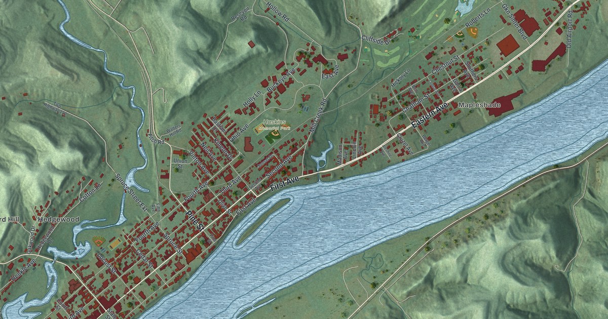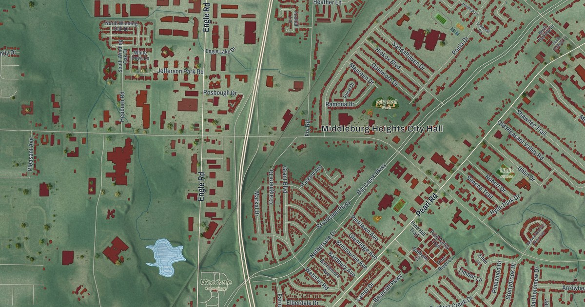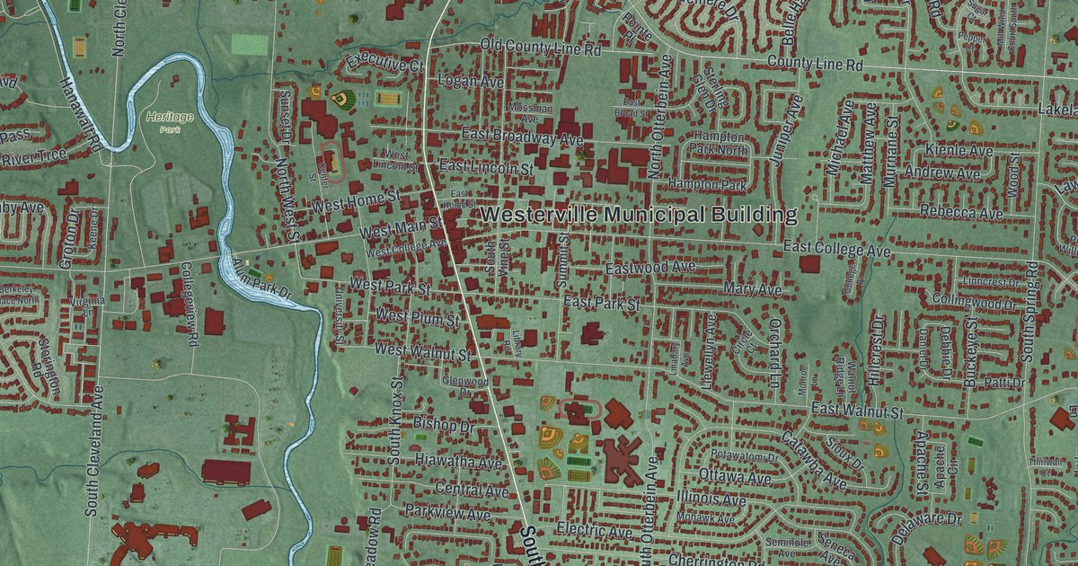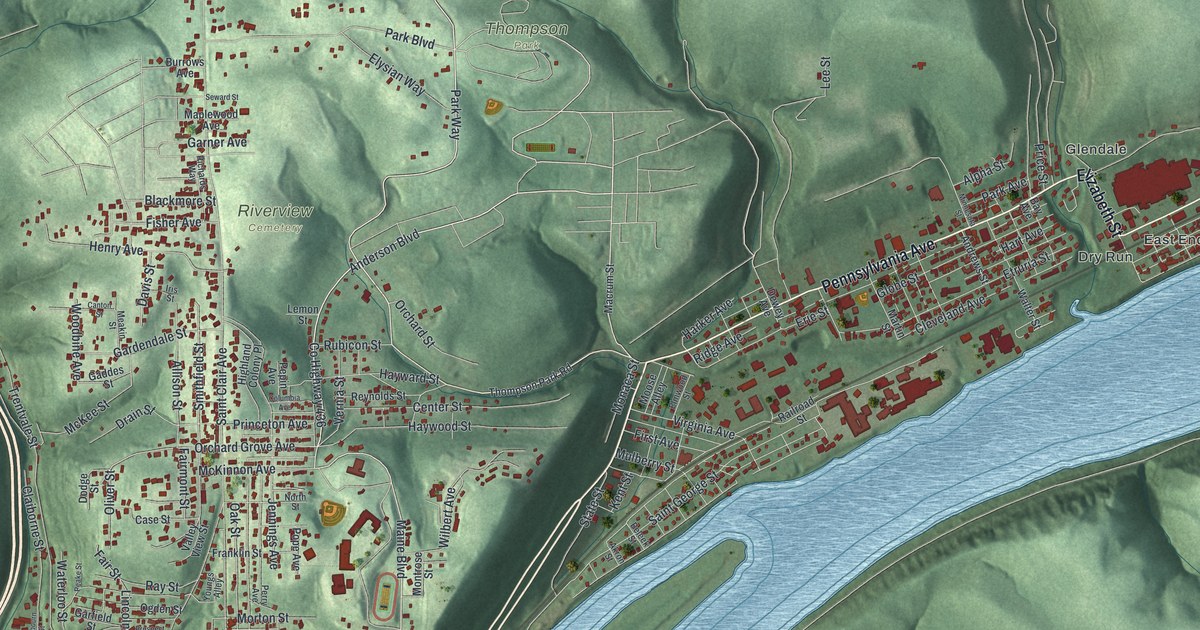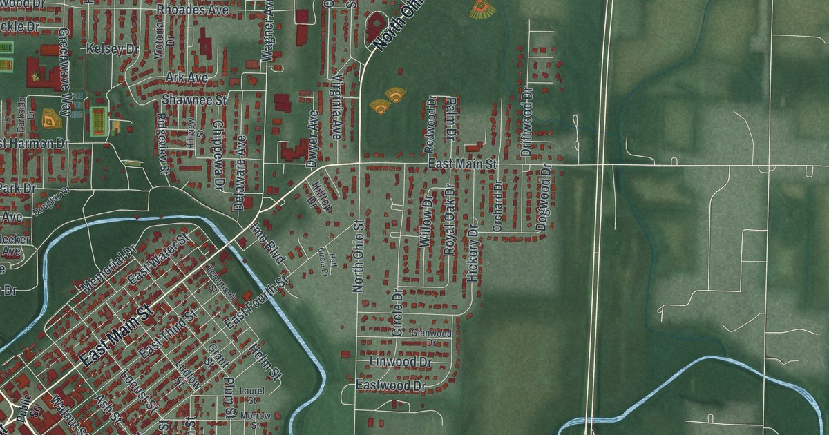
If you grew up in Greenville, this print brings your hometown streets home. It's a modern aerial view of Greenville in Darke County, Ohio, made with modern data and a vintage feel. Red buildings fill the town's blocks, with green land around them. A pale blue creek winds through the view.
West Main Street and the Treaty of Greene Ville
On this map you'll find West Main Street, East Main Street, North Broadway, Sweitzer Street, Wagner Avenue, North Ohio Street, Martin Street, Washington Avenue, Garst Avenue, Fort Jefferson Avenue, North Park, and more. Each red shape is a building, so zoom in on the preview and look for yours.
West Main Street gives you a link to Greenville's treaty story. The Treaty of Greene Ville marker stands on that street at Public Square. It tells how tribal leaders gathered at Fort Greene Ville after the Battle of Fallen Timbers. They signed the treaty on August 3, 1795. Tribes gave up claims to much of what became Ohio. In return, the United States offered payment and yearly goods. It also gave up claims to most land beyond the treaty line. The agreement opened much of Ohio to settlement, at a great cost in Native land claims.
Greenville's Streets on Your Wall
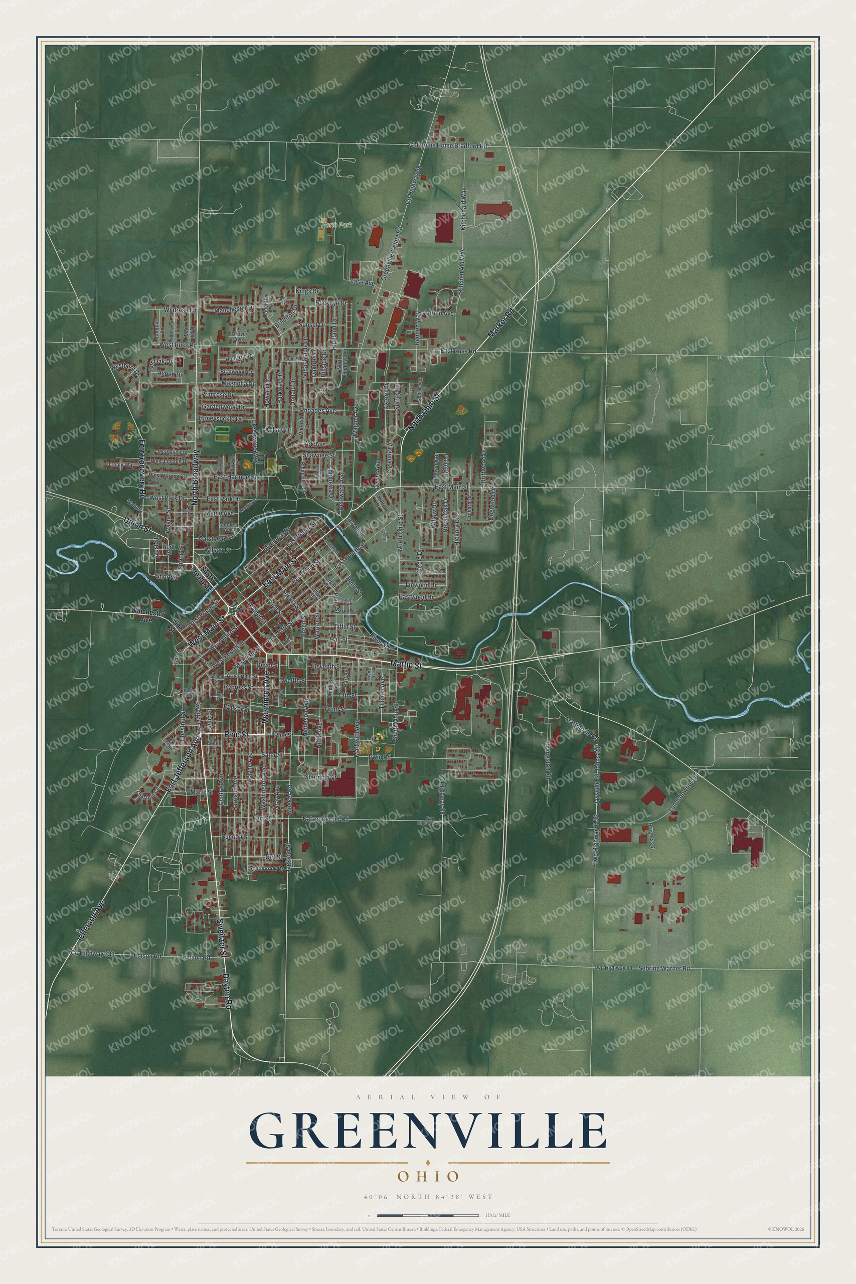
Created by KNOWOL in 2026, the print pairs deep green terrain with red buildings and pale roads. Blue water winds among the blocks. A cream border surrounds the view. The title panel reads AERIAL VIEW OF, GREENVILLE, OHIO, with 40°06' NORTH 84°38' WEST below.
Hang it in a living room, office, or entryway to keep home close. It's a gift for someone who grew up near North Park or moved away from Greenville. Open the preview and look for the streets you know. See sizes and frames for the Greenville map.