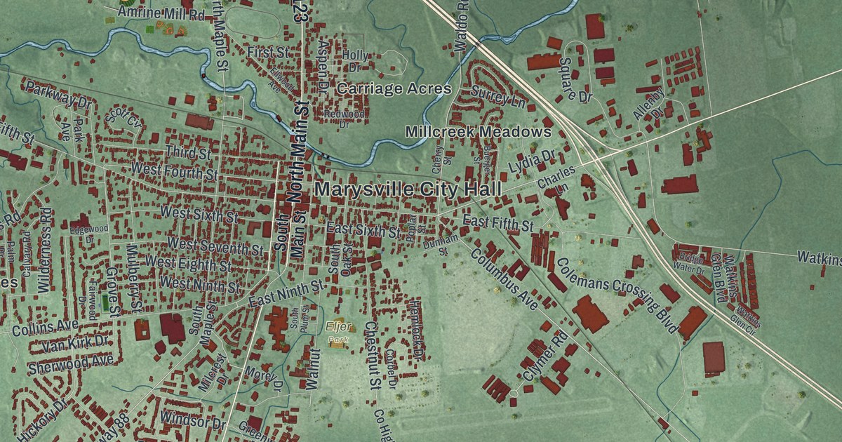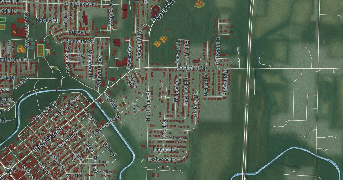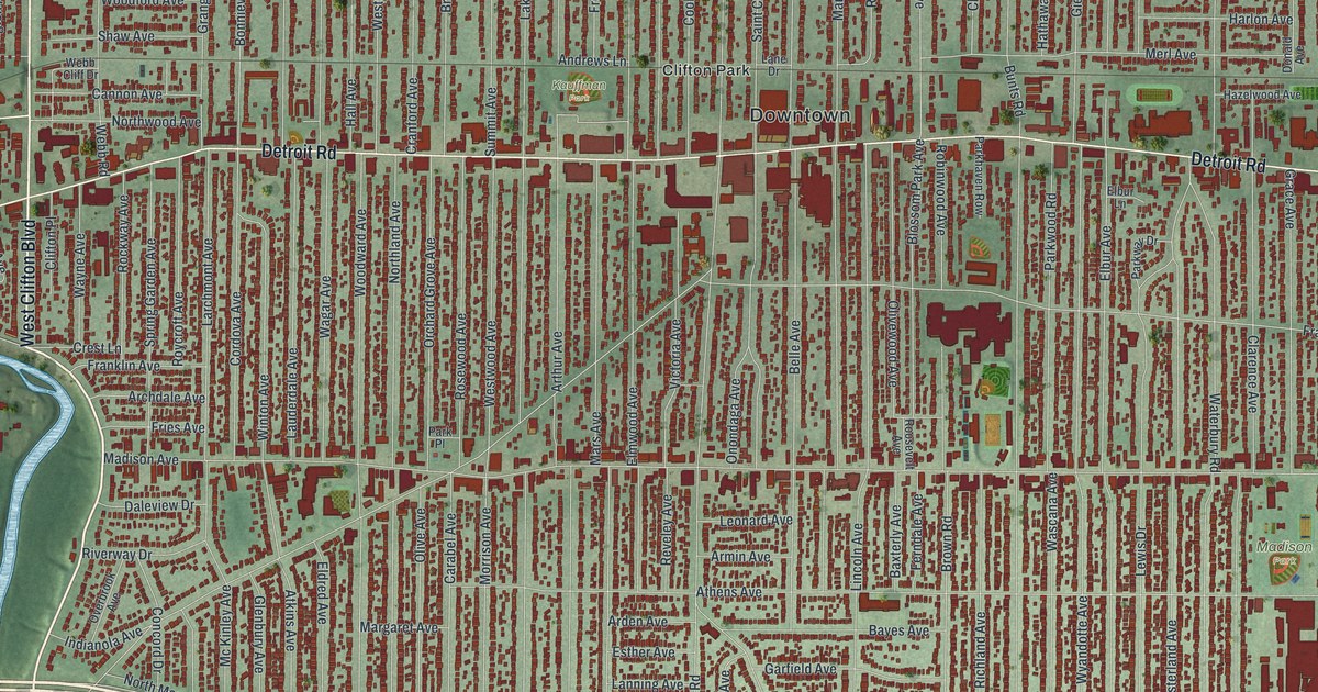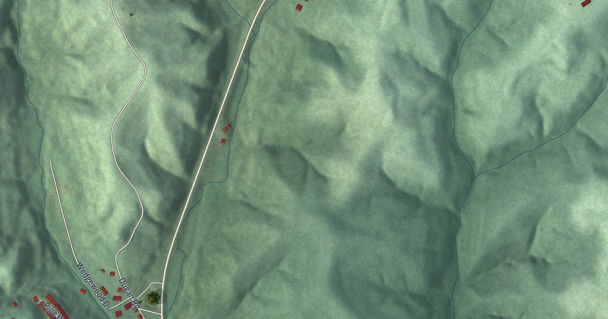
If you grew up in McConnelsville, look for your old street on this print. It's a modern aerial view of McConnelsville in Morgan County, Ohio, made with modern data and a vintage feel. Red buildings gather beside a broad blue river. Green hills rise above the town's close-set blocks.
North Tenth Street and Lelia Morris's Hymns
On this map you'll find East Main Street, West Main Street, North Kennebec Avenue, South Kennebec Avenue, North Tenth Street, East Liberty Avenue, West Liberty Avenue, East Union Avenue, West Union Avenue, North Riverside Drive, McConnelsville Cemetery, and more. Each red shape is a building, so zoom in on the preview and look for yours.
The Lelia Morris historical marker tells how a local organist's songs traveled far. Morris wrote hymns at Trinity Methodist Episcopal Church, including 'Nearer, Still Nearer' and 'Sweeter As the Years Go By.' Her songs have been translated into many languages. They've appeared in Protestant hymnals around the world.
The church was completed in 1860, replacing a stone church from 1836. The congregation began in 1826. General Robert McConnel, the town's founder, gave the land in 1817. Its address is 98 North Tenth Street. Find that printed street among the red building shapes on the map.
McConnelsville's Streets and Green Hills
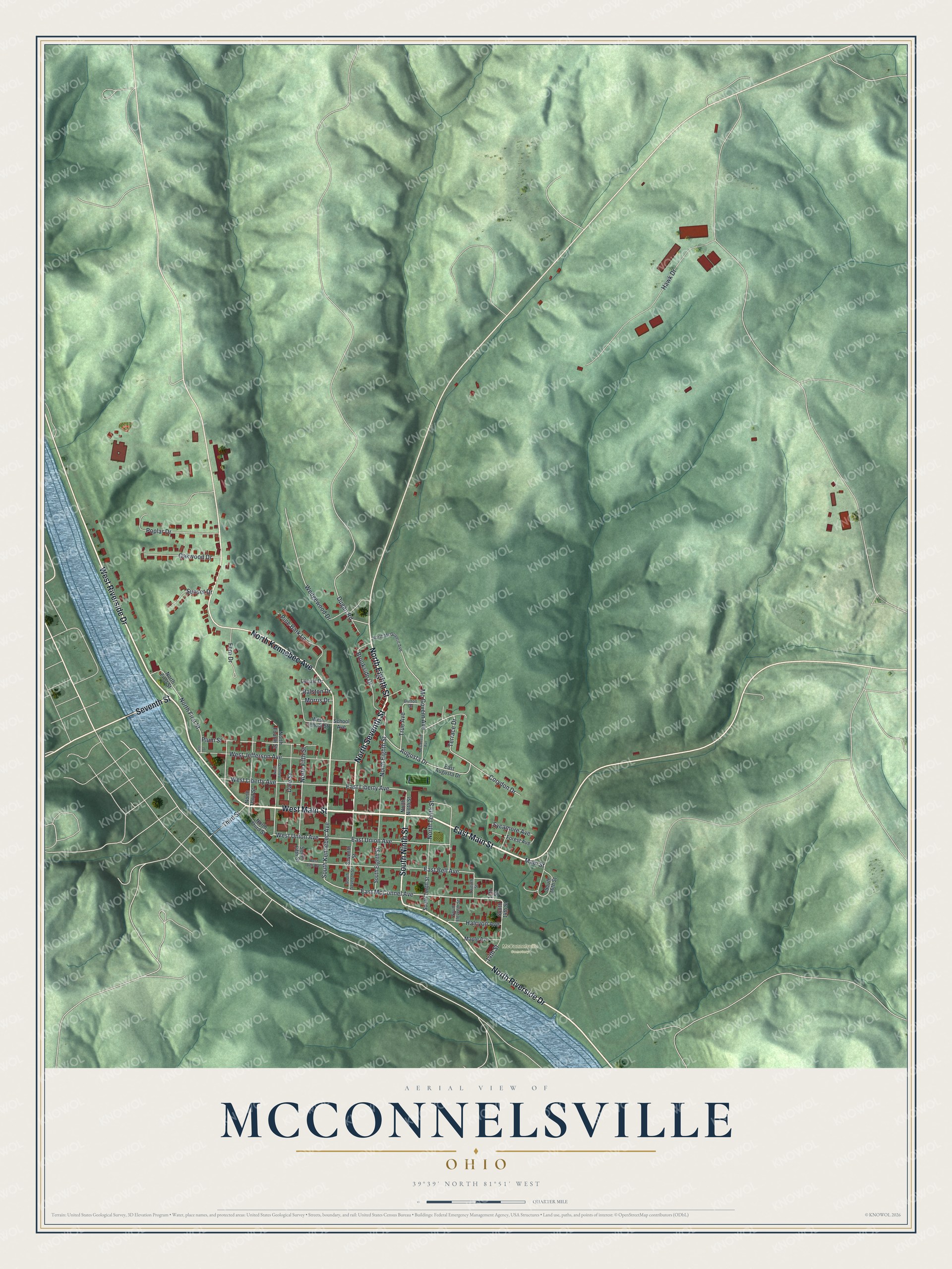
Created by KNOWOL in 2026, the print pairs shaded green hills with blue water and red buildings. Fine street lines sit within a cream border. The title panel reads AERIAL VIEW OF MCCONNELSVILLE, OHIO, with 39°39' NORTH 81°51' WEST below.
Hang it in a living room, home office, or entryway. It's a thoughtful gift for someone who grew up near East Main Street and now lives far away. Open the preview to find a familiar block and see the hills around it. See sizes and frames for the McConnelsville map.