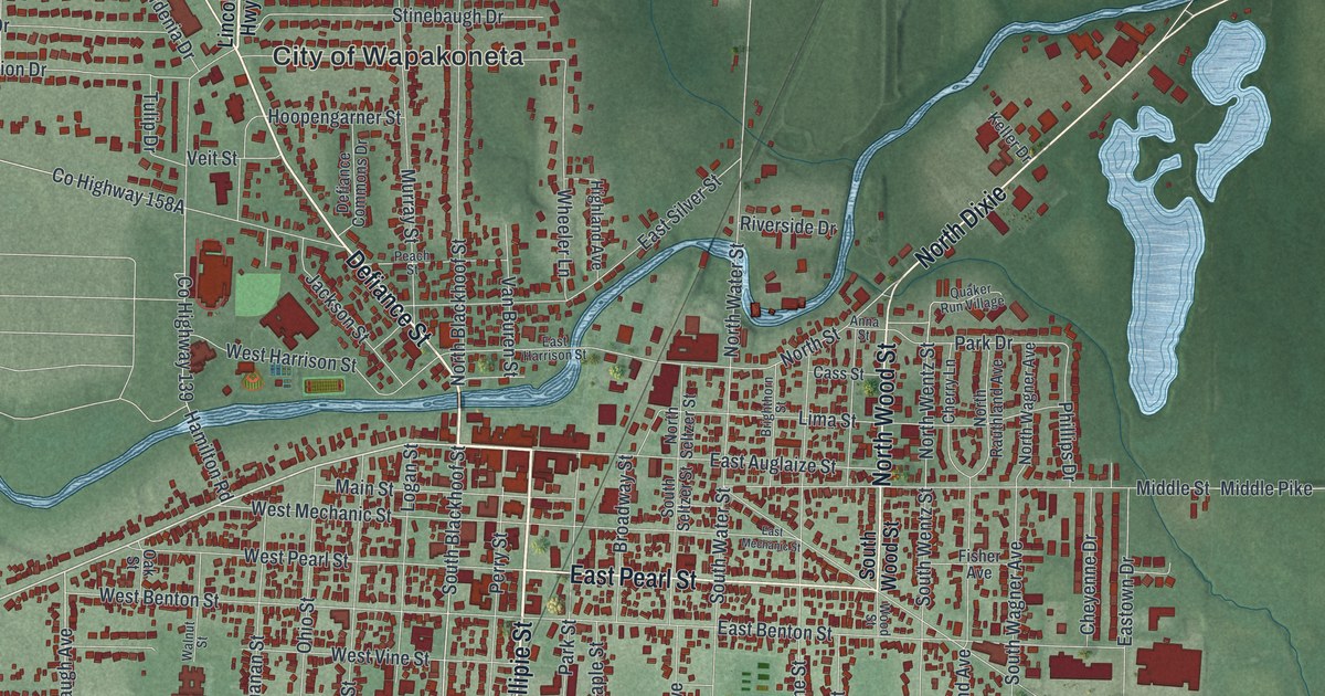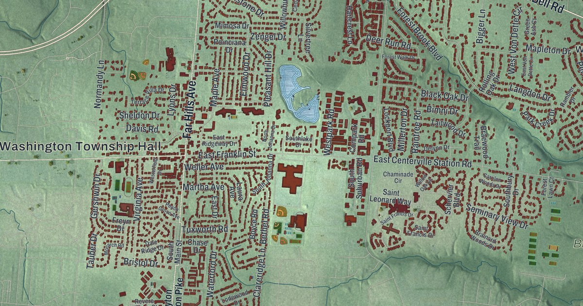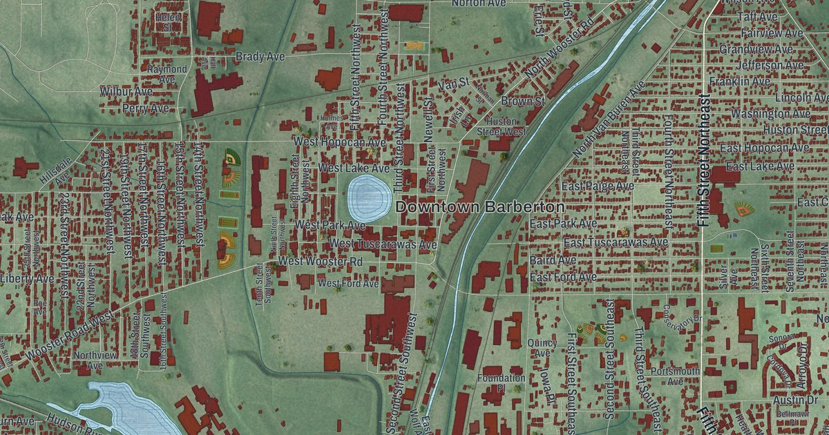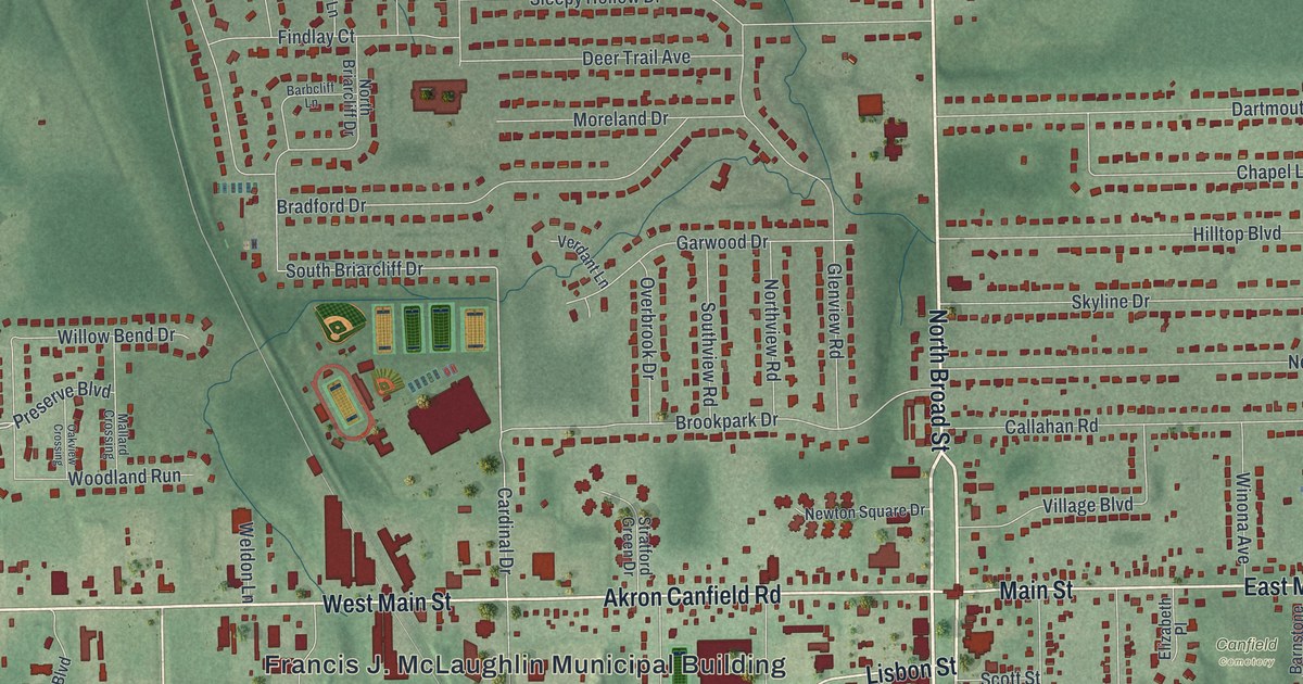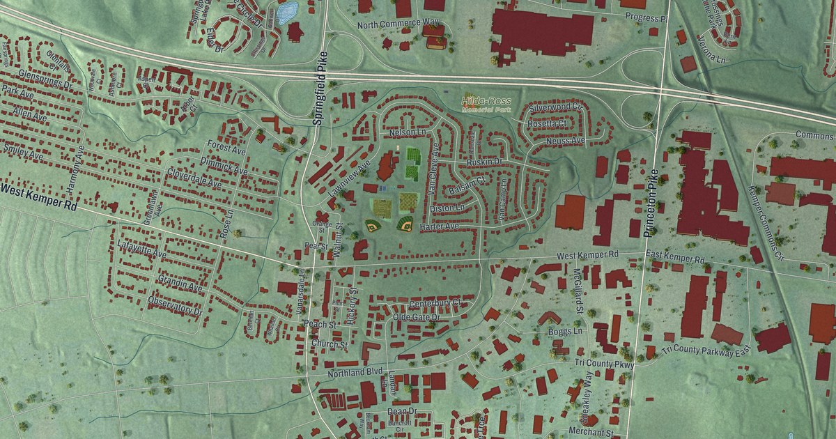
If you grew up in Springdale, or you still drive Springfield Pike and Kemper Road, this map gives you a lot to find. It's a modern aerial view of Springdale in Hamilton County, Ohio, made from modern data with a vintage feel. Soft green hills fill the sheet, and more than 10,000 buildings are drawn in deep red. Springfield Pike and Princeton Pike run north and south through town. A wide highway sweeps across the upper half.
Springfield Pike, Kemper Road and Hilda-Ross Memorial Park
On this map you'll find Springfield Pike, Princeton Pike, West Kemper Road, East Kemper Road, Hilda-Ross Memorial Park, Oak Hill Cemetery, Tri County Parkway, Northland Boulevard, Cameron Road, Yorkhaven Road, Ray Norrish Drive, Ledro Street, Crescentville, Forest Park, and more. Each red shape is a building, so zoom in on the preview and look for yours.
Morgan's Raiders on Kemper Road in 1863
In July 1863, Confederate General John Hunt Morgan led 2,000 cavalrymen across southern Ohio. Union cavalry chased them across twenty Ohio counties. Troops and militia waited at Cincinnati and Hamilton. So Morgan's worn-out men rode through the night to get around them. According to a state historical marker, it was the longest sustained cavalry ride in American military history. Around 9 p.m. they passed through New Burlington. Then they rode north, and turned east on Bank Lick Road. Today that road is called Kemper Road. The riders reached Springfield Pike, in what was then the Village of Springdale, around midnight. The marker stands on the southeast corner of that crossing, near the middle of the map.
The old churchyard at Springfield Pike and Cameron Road
A story from Springdale's early years sits south of that corner on Springfield Pike. In 1801, the Springdale Presbyterian Church got two and a half acres there for a church and a cemetery. The church moved in 1833, but burials went on until the mid-1950s. As the church got smaller, it couldn't care for the grounds. In 1987 the City of Springdale took the cemetery over. Forgotten graves were found, and broken headstones were fixed and set back up. Another state marker says 739 people are buried there. They include nine Revolutionary War veterans and thirteen from the Civil War. There's also one from the War of 1812 and one from World War I. The marker calls it Old Saint Mary Cemetery. It's on the northwest corner where Cameron Road leaves Springfield Pike.
For someone who grew up off Springfield Pike
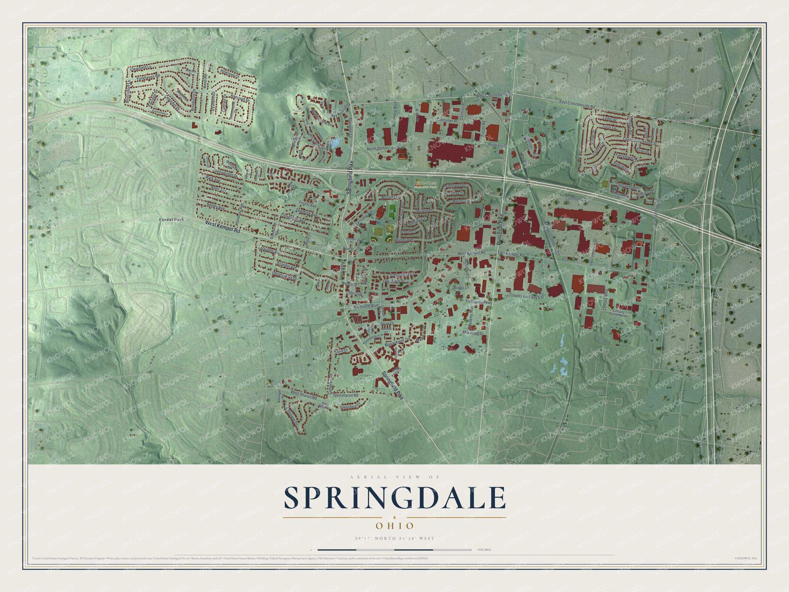
Created by KNOWOL in 2026, this map of Springdale shows the city's streets, parks and buildings over soft green hills. The title panel reads "Aerial View of Springdale, Ohio," with the coordinates 39°17' North and 84°28' West.
It fits well in a home office, a family room or a kitchen. It's a good gift for someone who grew up near Hilda-Ross Memorial Park and moved away, or for anyone with family still off Kemper Road. Open the preview, zoom in and find the corner you know. See sizes and frames for the Springdale map.