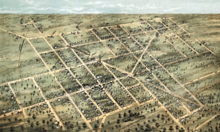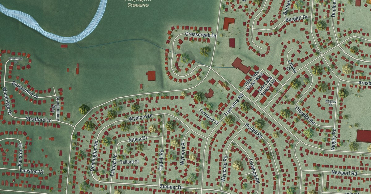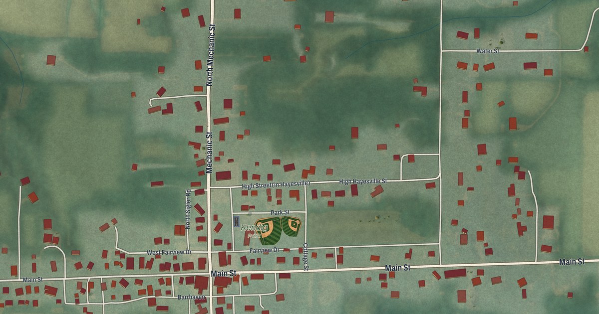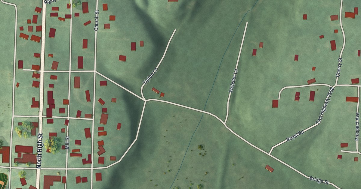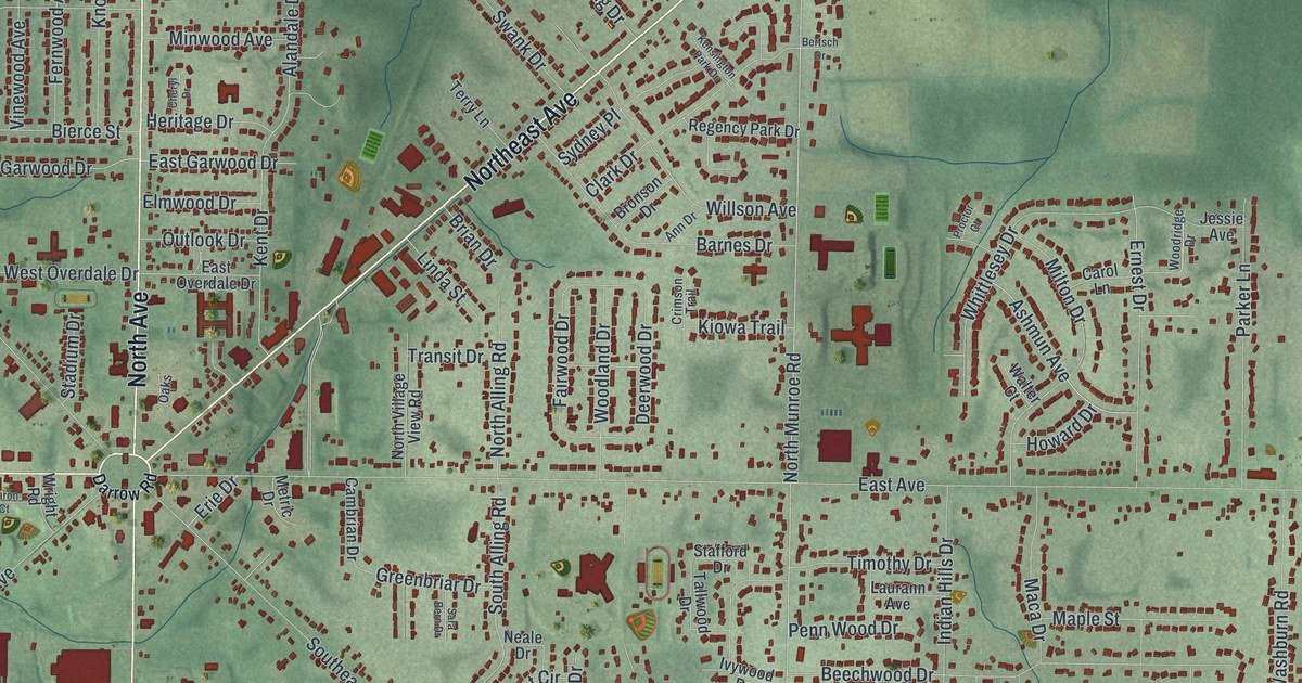
If you grew up in Tallmadge, or you still drive around the circle on your way across town, this map will feel like home. It's a new aerial view of Tallmadge in Summit County, Ohio, made from modern data and given a vintage look. Eight avenues named for the points of a compass spread out from one small circle. Red buildings fill the blocks between them, and a blue river winds across the top of the sheet.
From North Avenue to Six Corners
On this map you'll find North Avenue, South Avenue, East Avenue, West Avenue, Northeast Avenue, Southeast Avenue, Southwest Avenue, Northwest Avenue, South Main Street, East Howe Road, North Munroe Road, Six Corners, Maca Park, Munroe Falls Metro Park, and more. Each red shape is a building, so zoom in on the preview and look for yours.
The 1825 church on the Tallmadge town square
Tallmadge was started in 1807 by David Bacon as a Congregational community. That's how the Ohio historical marker on the town square tells it. In 1821, local landowners gave timber to build a church. Col. Lemuel Porter, one of Ohio's first architects, designed and built it. The church was dedicated on September 8, 1825. The marker calls it a perfect example of the pure Connecticut style of Federal building. It's the oldest church in Ohio that has been used for worship the whole time since. On the map, find the small circle where the eight avenues meet, on the left side of the sheet. The church stands at the north end of that square.
The 1859 Town Hall and the Academy
At the south end of the same square stands the Town Hall, built in 1859. A second marker there tells about the Academy. The marker says the first Academy building went up in 1815, and that the Academy's first home was the second floor of this Town Hall, built in 1859. Students came from across northeast Ohio for advanced classes their own schools didn't offer. The Academy ran until 1876. Henry Howe wrote in 1891 that the township was named for Benjamin Tallmadge, of Litchfield.
Keep the Tallmadge circle and its eight avenues close
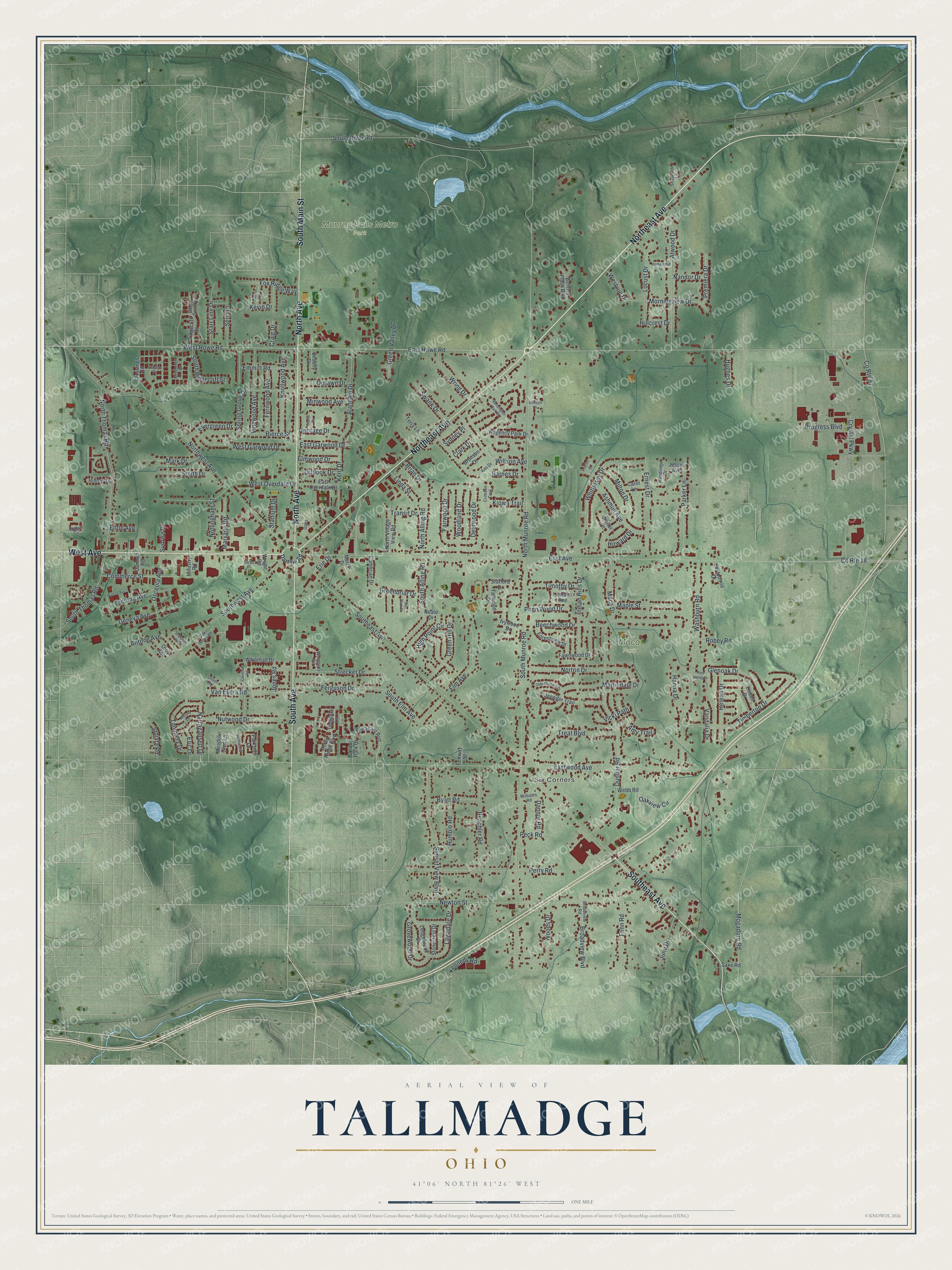
Created by KNOWOL in 2026, this print shows Tallmadge over soft green shaded hills, with every building in deep red and the river in blue. The title panel reads AERIAL VIEW OF TALLMADGE, OHIO, with 41°06' NORTH 81°26' WEST printed below.
It fits a living room, a front hall or a home office. It's a good gift for anyone who grew up near Six Corners, went to church on the square, or moved away and still thinks of the circle. Open the preview and find the streets you know. See sizes and frames for the Tallmadge map.