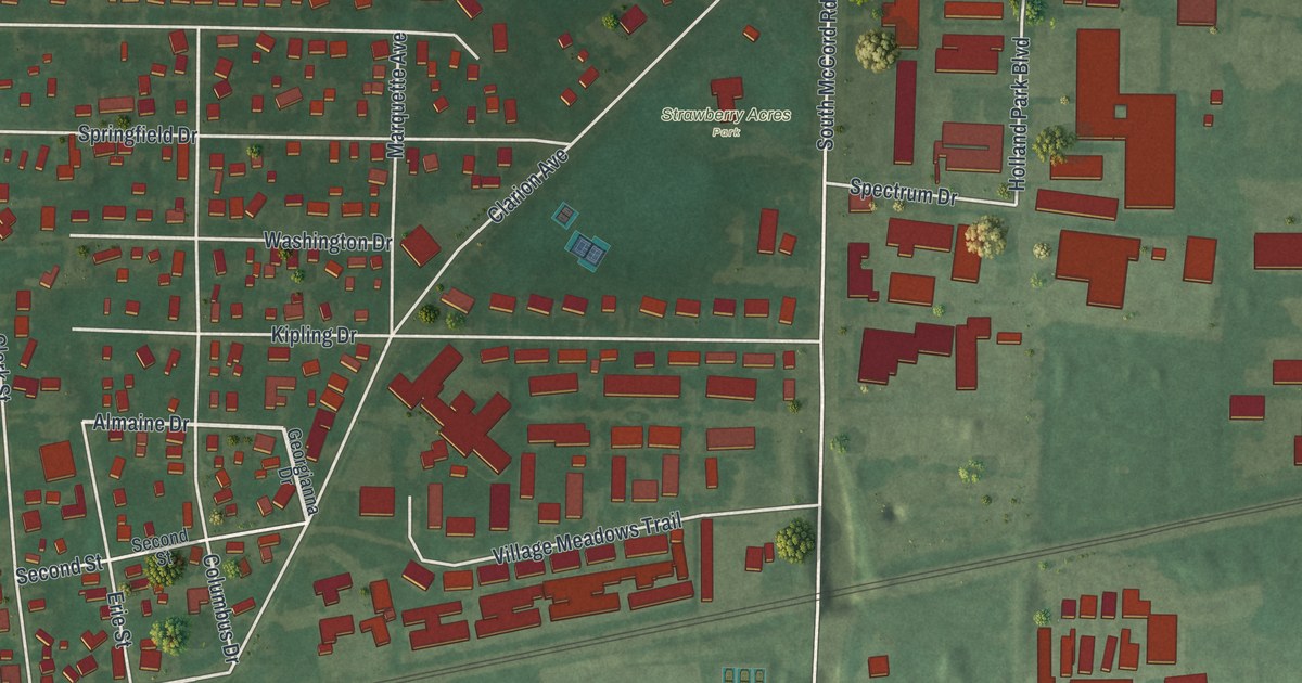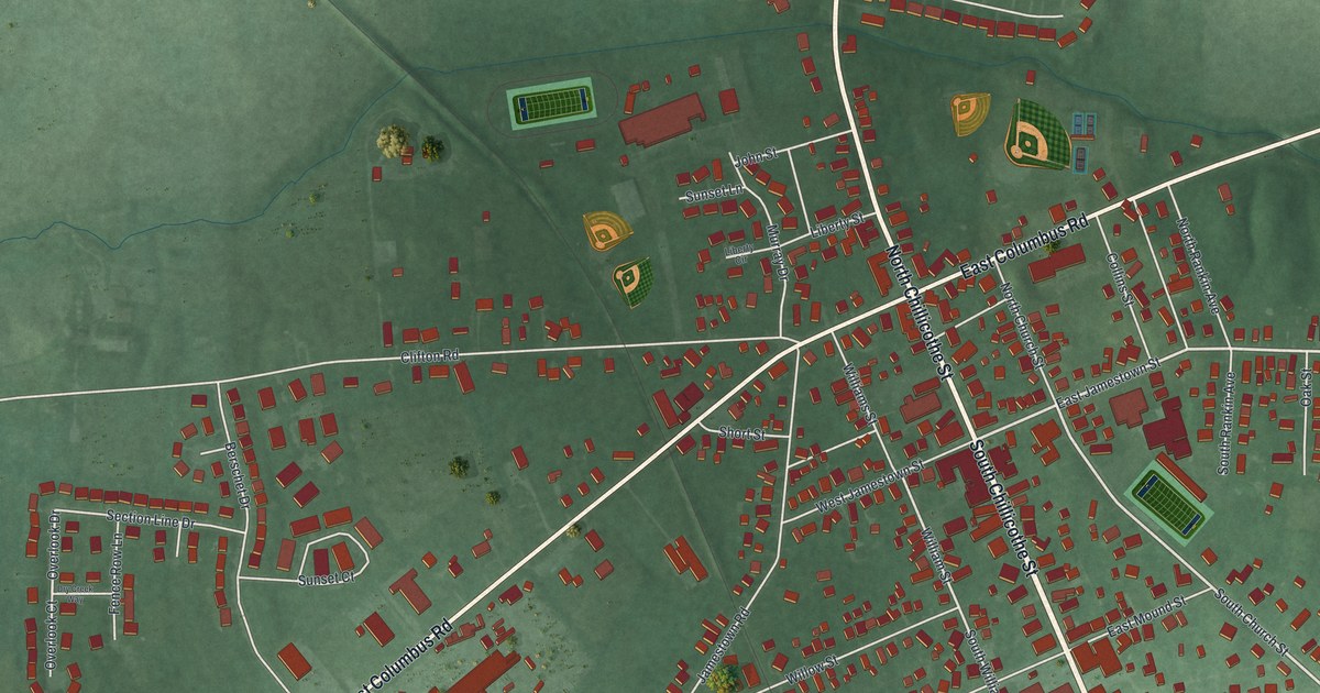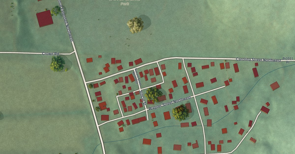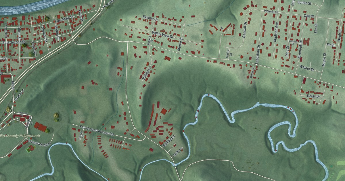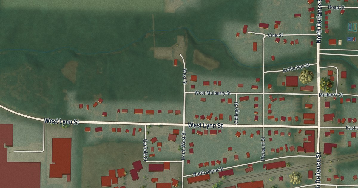
If you grew up in Stryker, or you still have family on Defiance Street, this map is for you. It's a new aerial view of Stryker in Williams County, Ohio, made with modern data and given a vintage feel. The rail line cuts across town on a slant, right through the middle of the blocks. Red buildings fill the streets around it, and a blue creek winds down the left side past open fields. Ball fields sit at the south edge of town.
Stryker's Railroad Story on Depot Street
On this map you'll find North Defiance Street, South Defiance Street, West Lynn Street, East Lynn Street, North Depot Street, West South Depot Street, West Church Street, Mulberry Street, Maple Street, College Street, East Curtis Road, Industrial Road, Oak Ridge Cemetery, and more. Each red shape is a building, so zoom in on the preview and look for yours.
Stryker was born because of the railroad. The town was surveyed on September 19, 1853. It was laid out beside the planned Northern Indiana Railroad. It took its name from John Stryker, a lawyer and railroad leader from Rome, New York. For more than fifty years, Stryker had "track pans" between the rails. Steam engines could scoop up 5,000 gallons of water there without stopping. They did it while moving at forty to fifty miles per hour. The Ohio historical marker in town says this saved time, "the principal enemy of railroad schedules."
The Stryker depot was built in 1900. It was added to the National Register of Historic Places in 1989. The marker stands at the Erie J. Sauder Community Building on North Depot Street. On the map, find the rail line that crosses town near North Depot Street and West South Depot Street. The town was laid out beside that railroad.
William J. Knight of Stryker and the Andrews Raid
Stryker has a Civil War railroad story too. William J. Knight joined Company E of the 21st Ohio Volunteer Infantry. In April 1862 he was the engineer in the Andrews Raid. The raiders stole a locomotive called the General in Georgia. They were caught, and eight of them were executed. Knight and seven others broke out of an Atlanta jail and made it to Federal lines. In 1891, Henry Howe wrote that Knight lived in Stryker. He wore a gold medal from Congress and gave talks about the raid.
Keep Stryker and Defiance Street Close
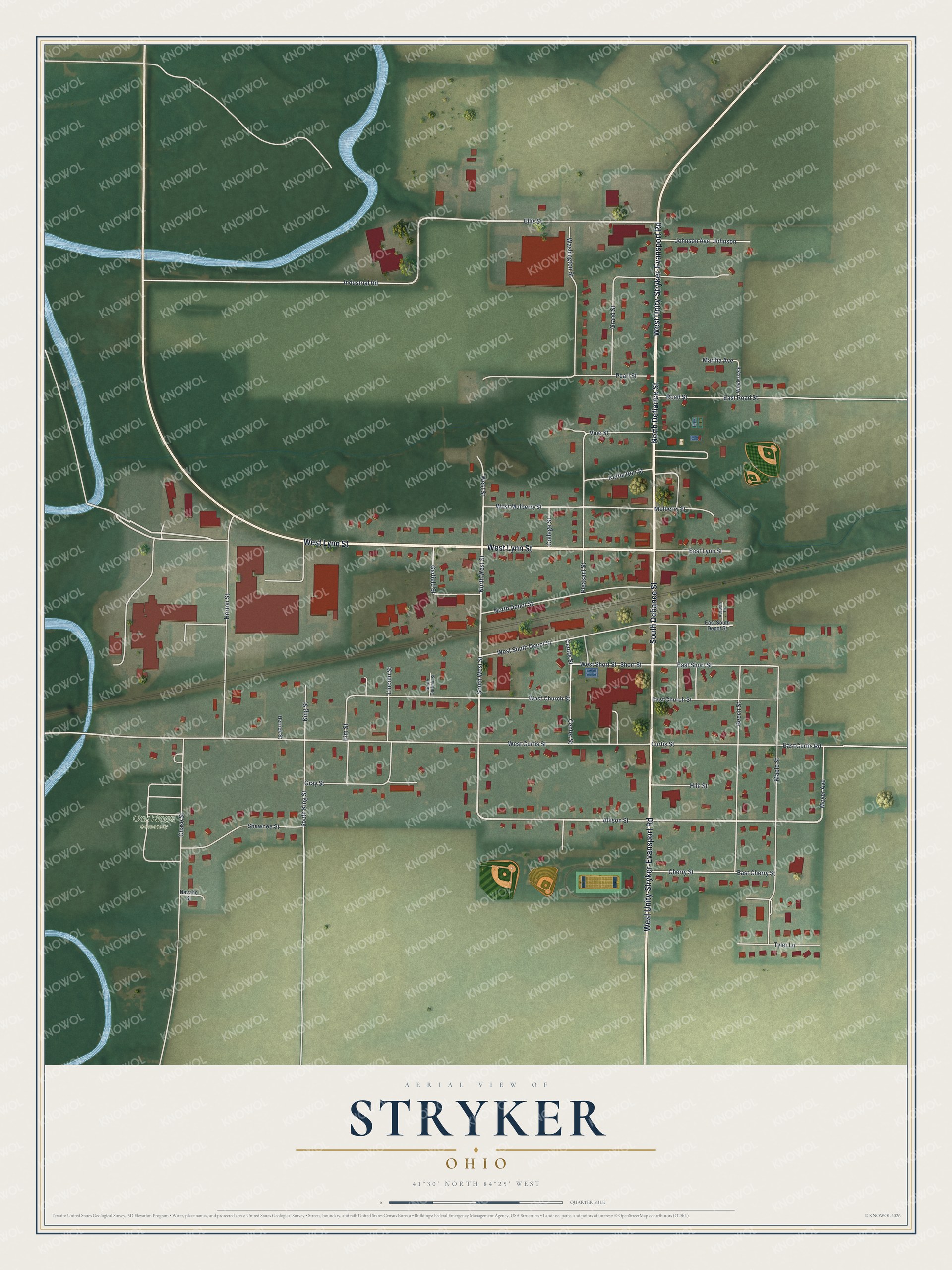
Created by KNOWOL in 2026, this print shows Stryker from above in soft greens, with red buildings, white streets and winding blue water. The title panel reads "Aerial View of Stryker, Ohio" with 41°30' North 84°25' West.
It fits a living room, a kitchen, a den or an office. It makes a good gift for someone who moved away and still thinks of the old depot on North Depot Street. Open the preview and find your street. See sizes and frames for the Stryker map.