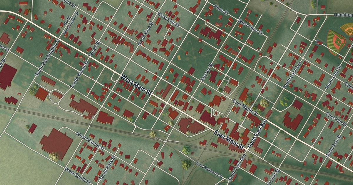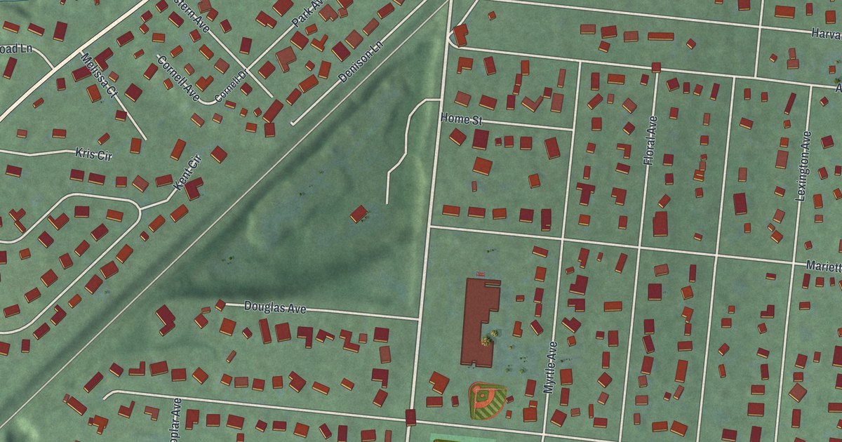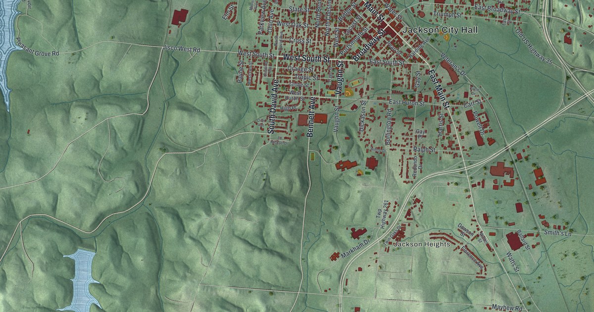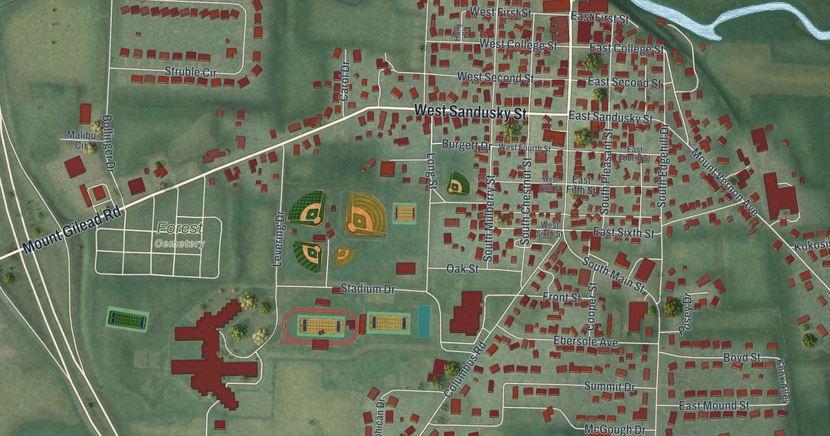
If you grew up in Fredericktown, went to school on Stadium Drive, or still have family near North Main Street, this map was made with you in mind. It's a modern aerial view of Fredericktown in Knox County, Ohio, drawn from modern data and given a vintage feel. The village sits in the middle of the sheet with green fields all around it. A winding blue river runs down the east side, and ponds shine to the north. You can pick out the ball fields and more than 1,700 small red buildings.
From North Main Street to Forest Cemetery
On this map you'll find North Main Street, South Main Street, West Sandusky Street, East Sandusky Street, Stadium Drive, Forest Cemetery, Mount Vernon Avenue, Mount Gilead Road, East College Street, High Street, Salem Avenue, Mill Street, Kokosing Street, Columbus Road, and more. Each red shape is a building, so zoom in on the preview and look for yours.
Fredericktown, Home of the FFA Jacket
Fredericktown is the home of the FFA jacket. It's the blue corduroy jacket worn by members of the National FFA Organization, once called Future Farmers of America. In 1933, a Fredericktown teacher named Dr. J.H. "Gus" Lintner had a jacket made for his local chapter. He was their advisor. The members wore it to the national convention in Kansas City, Missouri. The national group liked the design so much that it made the jacket part of FFA's Official Dress. Millions of members have worn it since, says the Remarkable Ohio marker at Fredericktown High School. The marker stands at 111 Stadium Drive. Find Stadium Drive on the map, and you'll see the school grounds and ball fields around it.
John Kerr Laid Out Fredericktown in 1807
The town is much older than the jacket. Henry Howe's Historical Collections of Ohio says John Kerr laid out Fredericktown in 1807. Howe placed it seven miles northwest of Mount Vernon. The National Register lists more than 20 old homes, shops and churches in the village. Many stand along Main Street and the Sandusky, College and Second streets. They include the Fredericktown Presbyterian Church on Main Street and the Tuttle House on East College Street.
Stadium Drive, Sandusky Street and Home
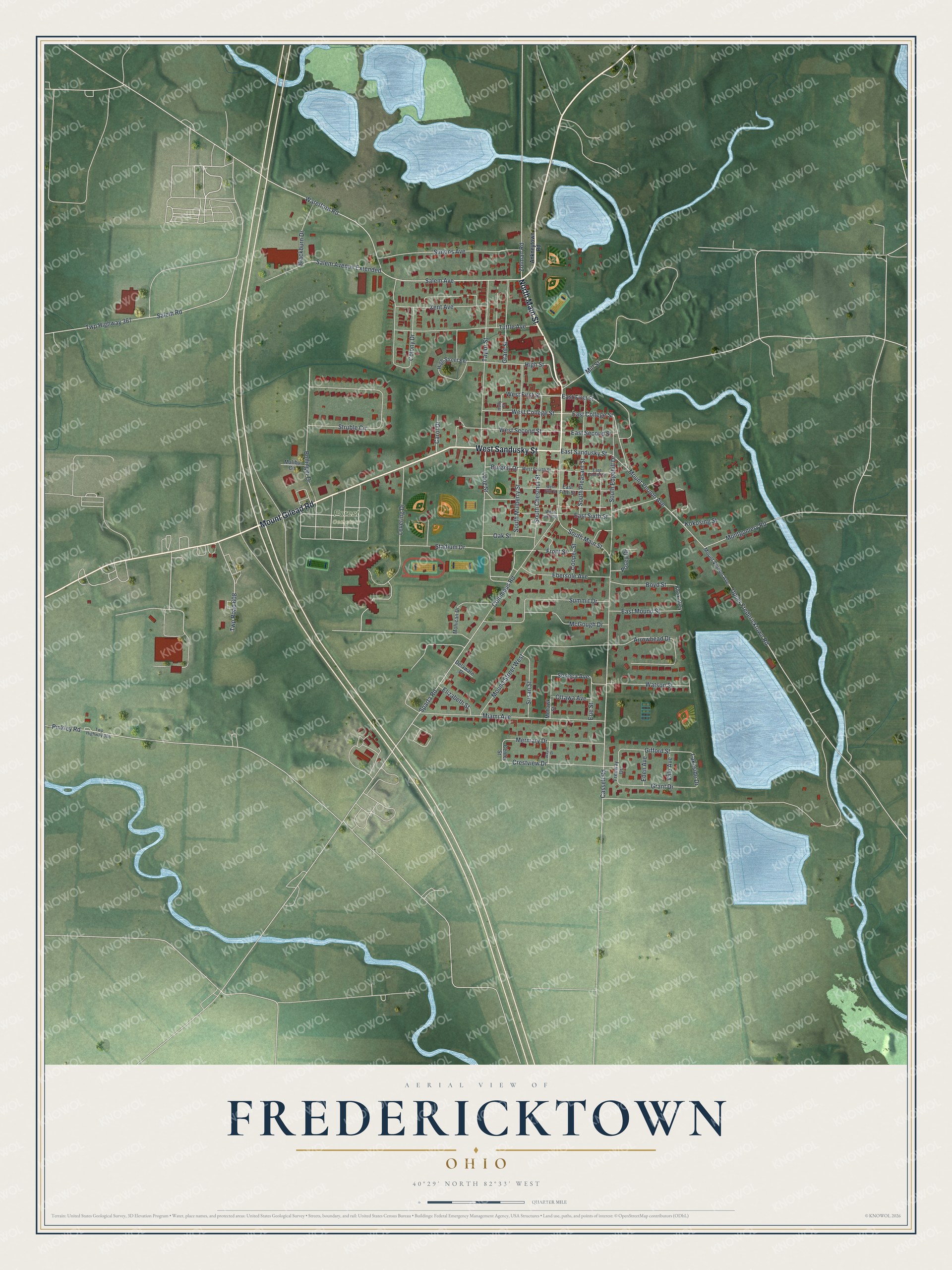
Created by KNOWOL in 2026. The print shows Fredericktown from above in soft greens, with blue water, pale roads and deep red buildings. The title panel at the bottom reads "Aerial View of Fredericktown, Ohio" with the coordinates 40°29' North 82°33' West.
It fits a living room, a front hall or a home office. It makes a good gift for a Fredericktown High School graduate, a past FFA member, or someone who moved away from North Main Street years ago. Open the preview and find the streets you know. See sizes and frames for the Fredericktown map.