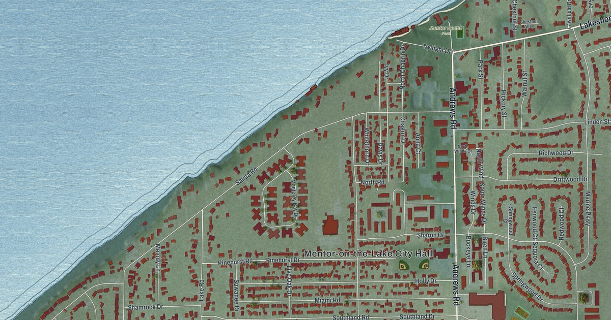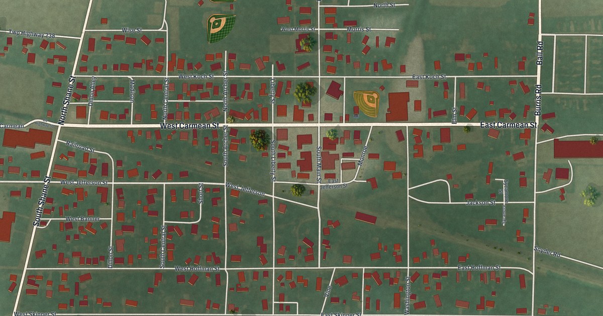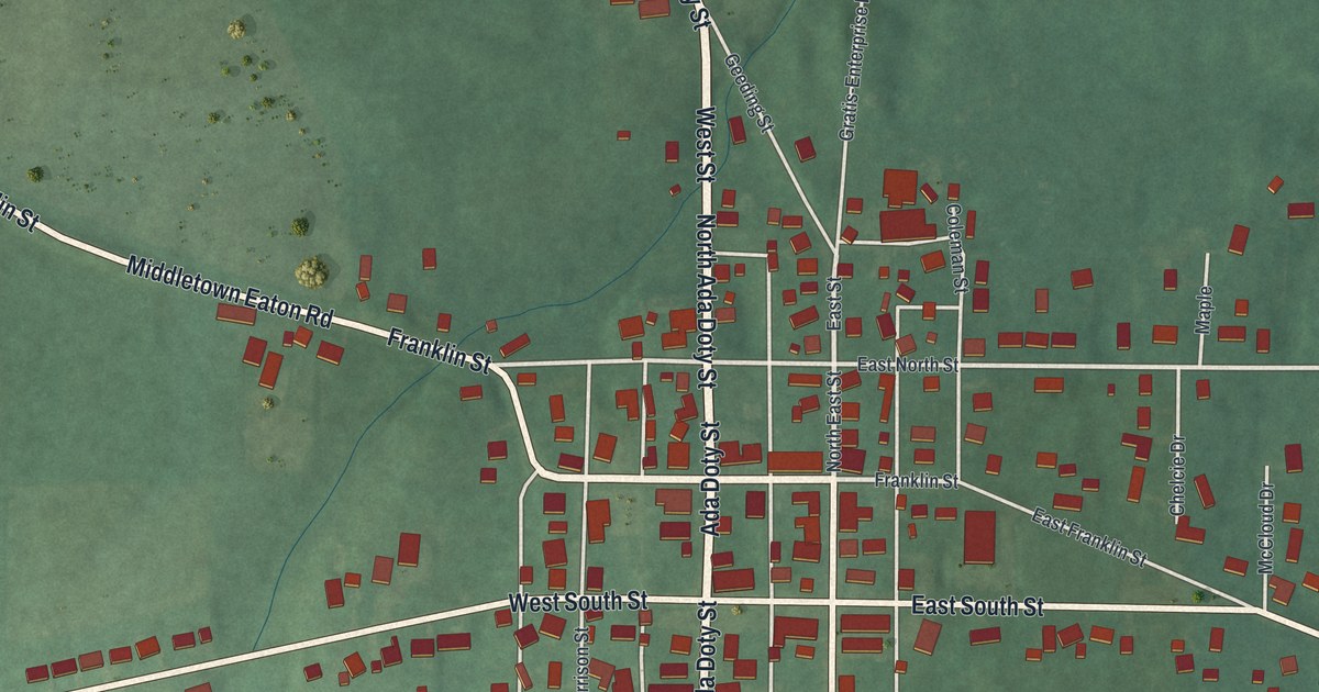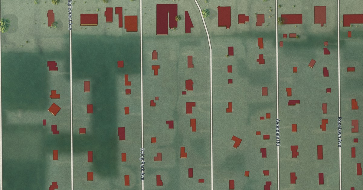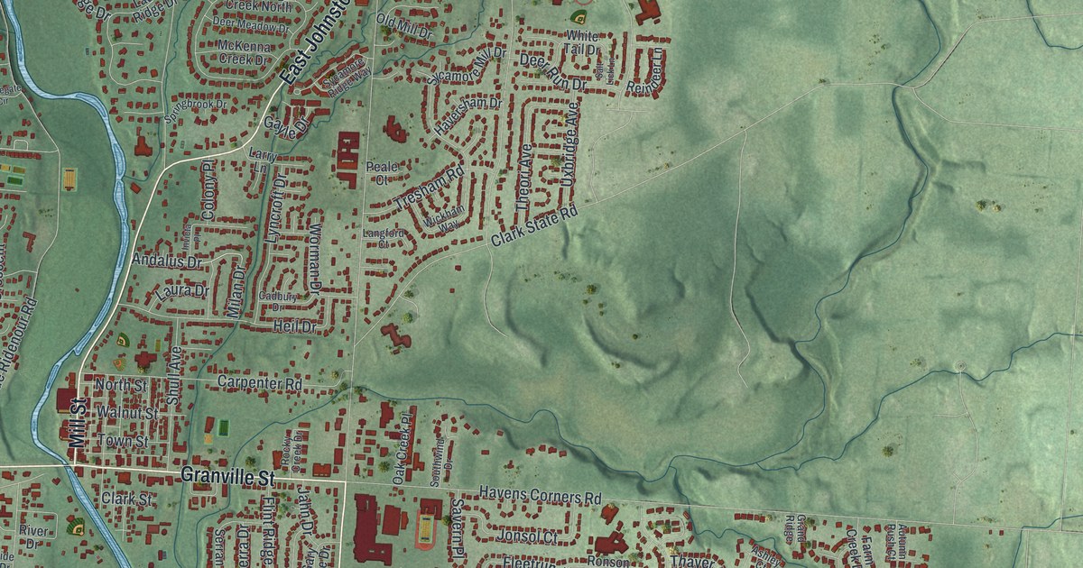
If you grew up in Gahanna or still call one of its winding side streets home, this print puts your town on the wall. It's a modern aerial view of Gahanna in Franklin County, Ohio, made from modern data and given a vintage feel. A blue creek winds down the sheet from the top. Around it you'll see about 20,000 red buildings, plus green spaces like Headley Park, Gahanna Woods Park and Price Road Park.
Gahanna and the Big Walnut Country Club
On this map you'll find Granville Street, Mill Street, North Hamilton Road, South Hamilton Road, Morse Road, Morrison Road, East Johnstown Road, Rocky Fork Boulevard, Havens Corners Road, Mifflin Township Meeting Hall, Headley Park, Gahanna Woods Park, Mifflin Cemetery, The Golf Depot, and more. Each red shape is a building, so zoom in on the preview and look for yours.
Columbus was deeply segregated in the 1920s. Black families had few places to swim, golf or play sports. The Big Walnut Country Club gave the Black community facilities it otherwise did not have. It was first planned in 1925 and formed two years later. It was one of the first Black country clubs in the United States, says a Remarkable Ohio marker from the Ohio History Connection. Members played golf, tennis and badminton. They swam, went boating and tried archery. They also came to eat and dance. The club sat on nearly 20 acres between the Big Walnut and Rocky Fork creeks. For decades it was a social, professional and political hub for Central Ohio's growing Black community.
How the club became Friendship Park
The club closed in 1963. Gahanna bought the land in 1970. A year later, the city opened it as Friendship Park, its very first public park. The club sat between the Big Walnut and Rocky Fork creeks, and the park still carries the name Friendship.
The first gristmill in Mifflin Township
Gahanna's roots go back further, too. A county history from 1880 says a man named Baughman built the first gristmill in Mifflin Township, at Gahanna. He ran it well until 1865, when poor health led him to sell. The township's name is still printed on the map at Mifflin Township Meeting Hall and Mifflin Cemetery.
From Mill Street to Headley Park
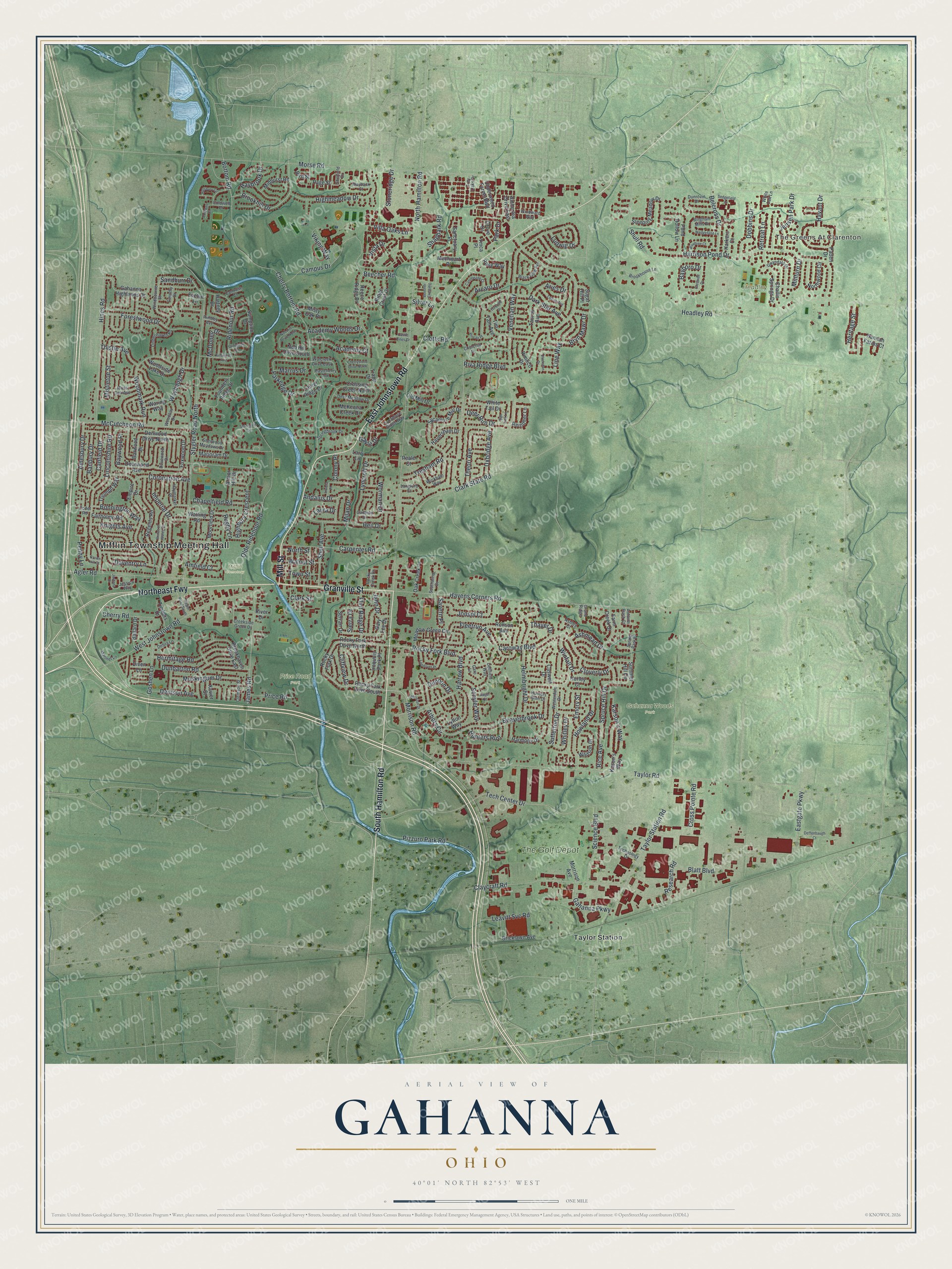
Created by KNOWOL in 2026. The print shows Gahanna in soft greens, with its buildings in deep red and the creek in blue. The title panel reads Aerial View of Gahanna, Ohio, with 40°01' North 82°53' West printed below.
It suits a living room, a home office or a front hall. It's a good gift for someone who grew up in Gahanna, or for anyone who moved away and misses it. Open the preview and find your own street. See sizes and frames for the Gahanna map.