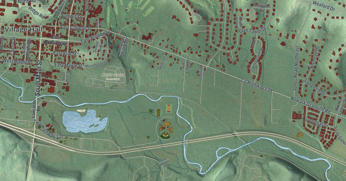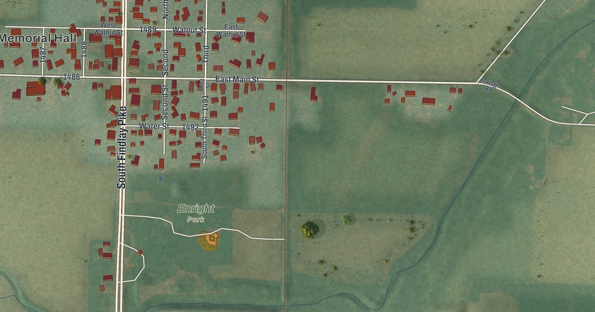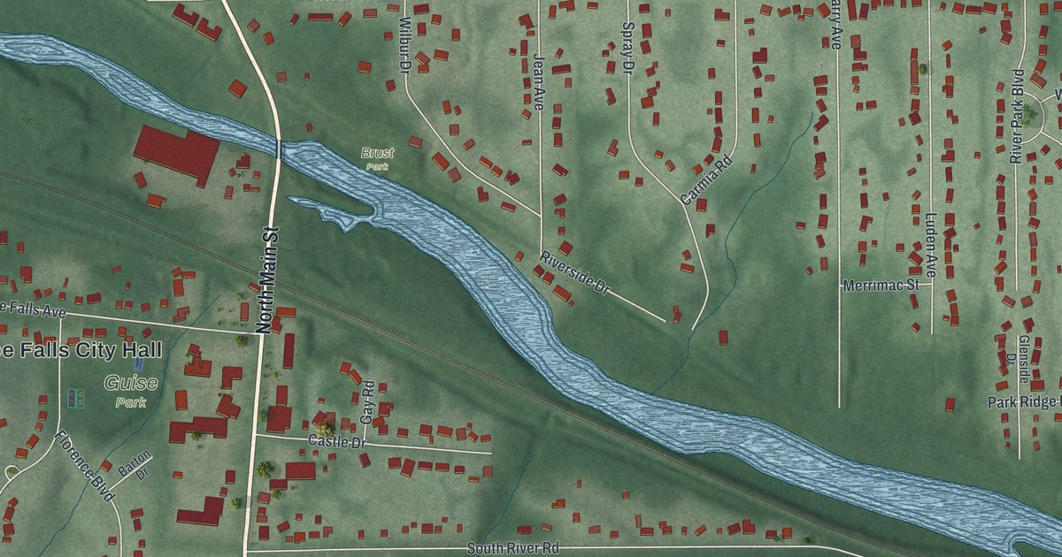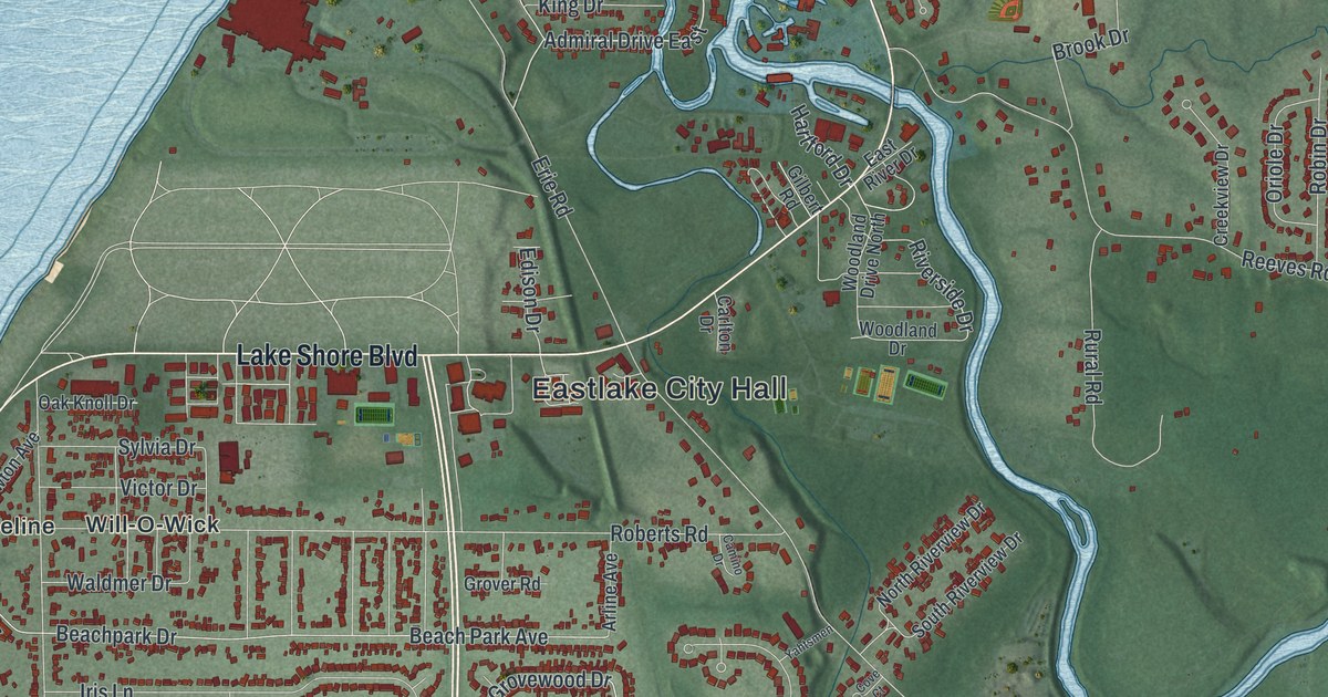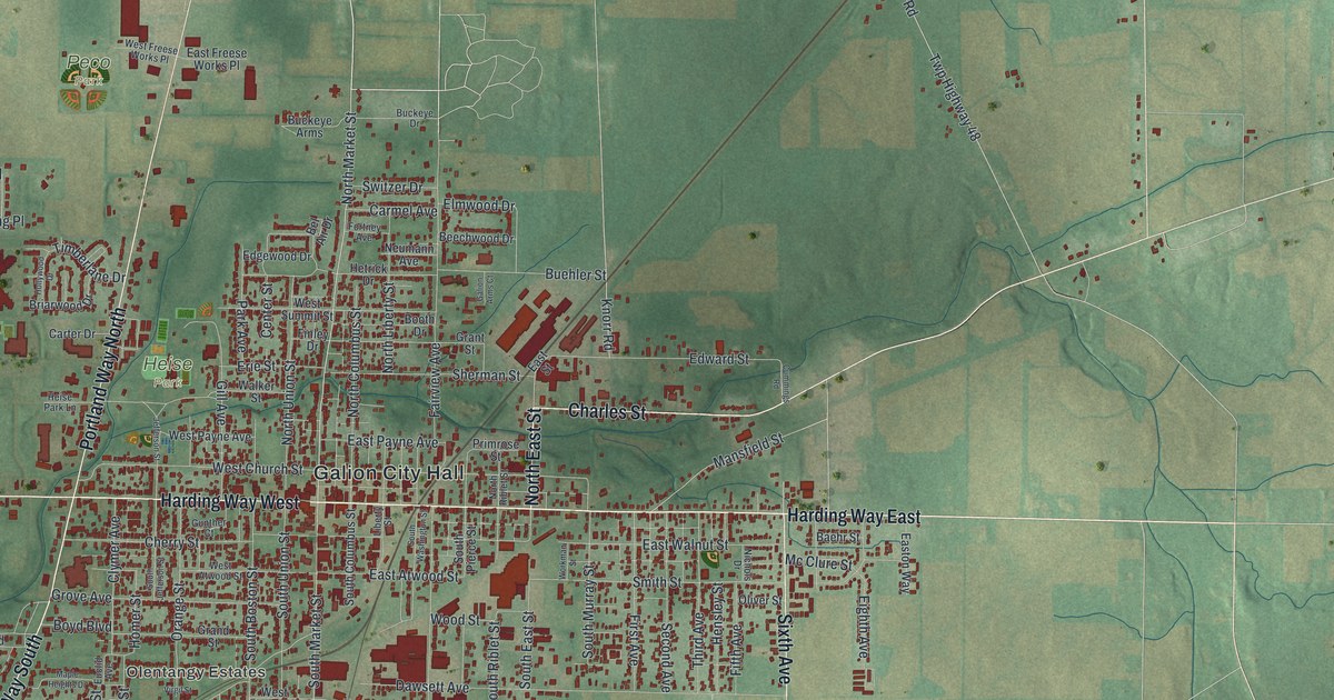
If you grew up in Galion, or you still have family near Harding Way, this map is for you. It's a new, modern aerial view of Galion in Crawford County, Ohio, made in 2026 with a vintage feel. The town sits in the middle of the sheet, with red buildings packed along Harding Way East and Harding Way West. Farm fields, small creeks and county roads fill the land all around it.
Galion and the Big Four Depot
On this map you'll find Harding Way East, Harding Way West, Galion City Hall, Portland Way North, Portland Way South, Heise Park, Peco Park, North Market Street, South Market Street, Bucyrus Road, Mansfield Street, Olentangy Estates, Sixth Avenue, Charles Street, and more. Each red shape is a building, so zoom in on the preview and look for yours.
Galion was a busy railroad town. A state marker from the Ohio History Connection tells the story of its Big Four Depot. The depot opened on December 27, 1900. It was the division headquarters for the Cleveland, Chicago, Cincinnati, and St. Louis railroad. Most people just called it the Big Four. The trains were busiest during and after World War I. Back then, 32 trains stopped here every day.
Presidents on the Galion depot platform
Galion also became a whistle stop for men running for president. They gave speeches from the train platform. Al Smith spoke in 1928, and Franklin D. Roosevelt in 1932. Dwight D. Eisenhower and Richard Nixon came in 1952. In 1929 the New York Central took over the Big Four. It moved the headquarters west to Bellefontaine. The ticket office stayed open until 1964, and the last railroad offices closed in 1969. The depot is listed on the National Register of Historic Places. It still stands on Washington Street, just north of Harding Way East, where thin rail lines cross the middle of town.
A Galion map for home or a gift
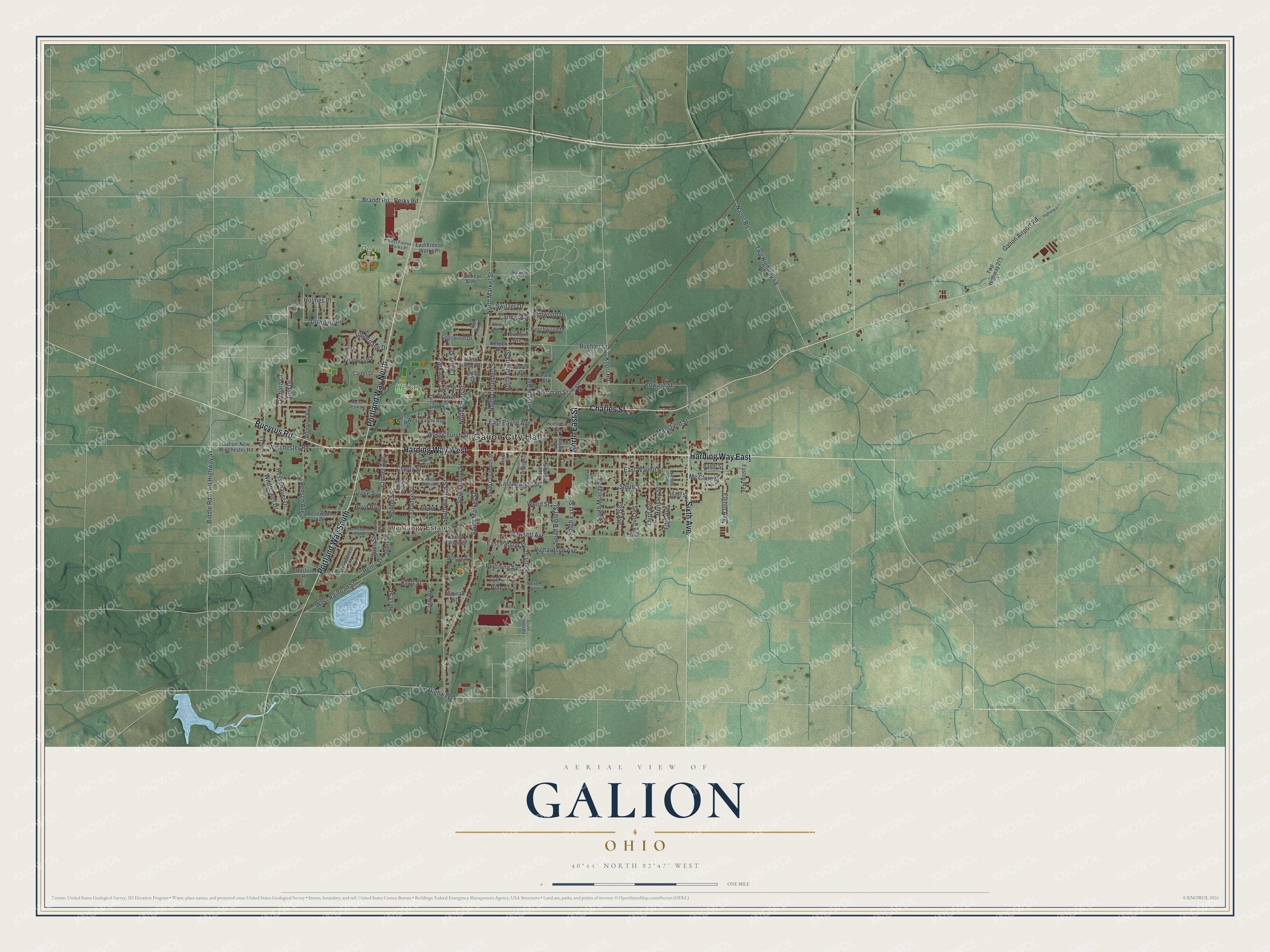
Created by KNOWOL in 2026, this print shows Galion from above in soft greens, with buildings in deep red and ponds in pale blue. The title panel reads "Aerial View of Galion, Ohio" with the coordinates 40°44' North 82°47' West.
It fits a living room, a front hall or a home office. It's a good gift for someone who grew up in Galion, or who remembers the old Big Four Depot, and for anyone who moved away from Crawford County. Open the preview and find your own street. See sizes and frames for the Galion map.