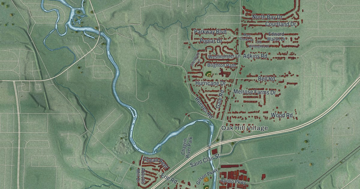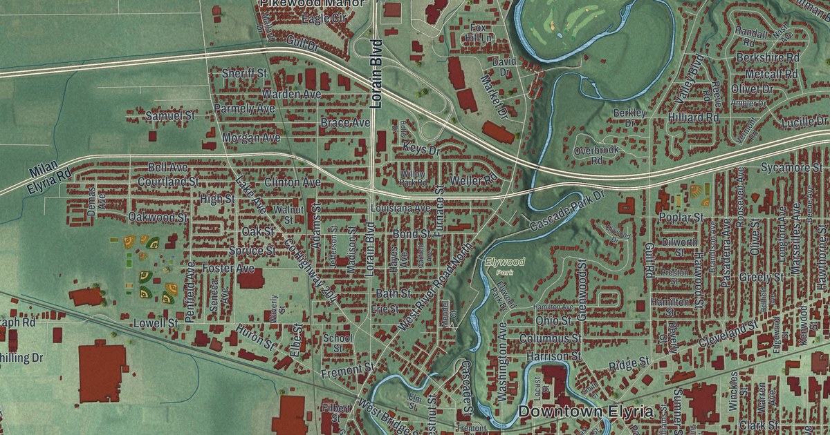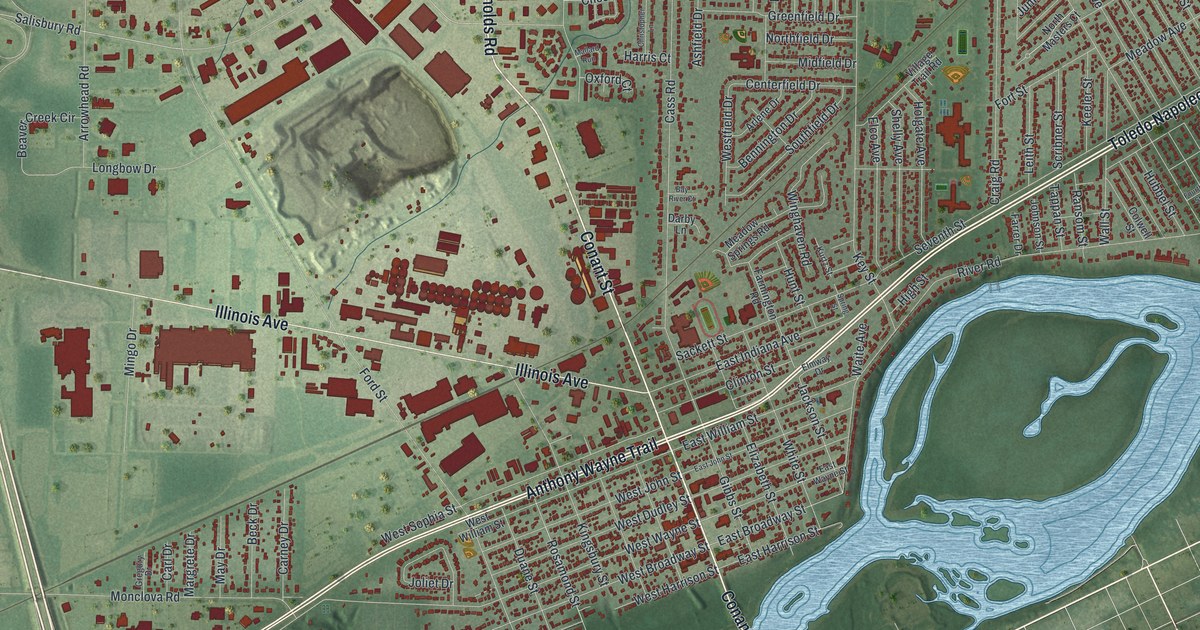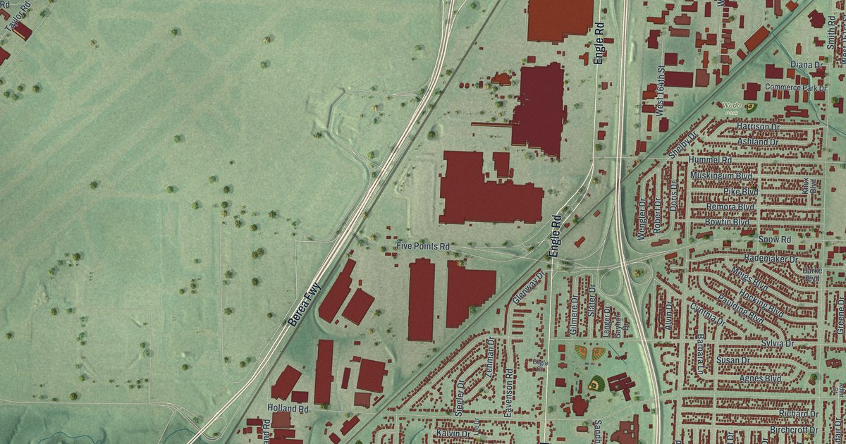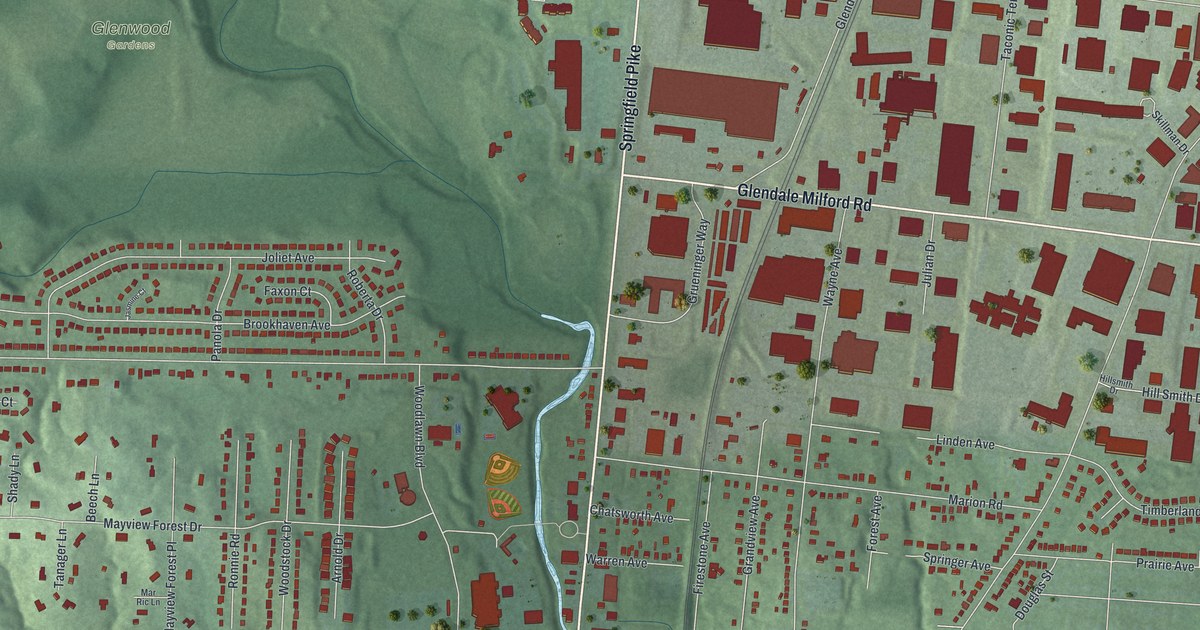
If you grew up off Springfield Pike or worked along Glendale Milford Road, this map is your part of Hamilton County. It's a modern aerial view of Woodlawn in Hamilton County, Ohio, made from modern data and given a soft vintage look. Green hills fold down to a thin blue creek beside Springfield Pike. Homes line the streets west of the creek, and big red blocks fill the land to the east. A pale blue lake sits in the hills on the left side.
The Rauh House on Leacrest Road
On this map you'll find Springfield Pike, Glendale Milford Road, Woodlawn Boulevard, Chester Road, Oak Road, Leacrest Road, Riddle Road, Brookhaven Avenue, Mayview Forest Drive, Wayne Avenue, Marion Road, Grove Road, Towne Commons Way, Glenwood Gardens, and more. Each red shape is a building, so zoom in on the preview and look for yours.
Woodlawn has its own place on the National Register of Historic Places. It's the Frederick and Harriet Rauh House at 10068 Leacrest Road. It was listed in 2016. Its National Register nomination calls it the first fully developed International Style design in the Cincinnati area. It also calls the home "the largest and most sophisticated of Cincinnati's early Modern houses." Look for Leacrest Road near the left side of the map, close to Riddle Road and Princess Court.
The Eliza House Story Near Oak Road
Near the corner of Oak Road and Chester Road, an Ohio history marker tells an older story. About three hundred yards east, on Oak Road, stood the house of John Van Zandt. He was an abolitionist. His home was one of the busiest stops on the Underground Railroad. In 1842, bounty hunters caught him helping eight people who had escaped slavery in Kentucky. Salmon P. Chase defended him in court. Van Zandt was convicted and fined, and Chase took the case to the U.S. Supreme Court. Harriet Beecher Stowe used him as a character in Uncle Tom's Cabin. His home became known as the Eliza House.
Woodlawn From Springfield Pike to Leacrest Road
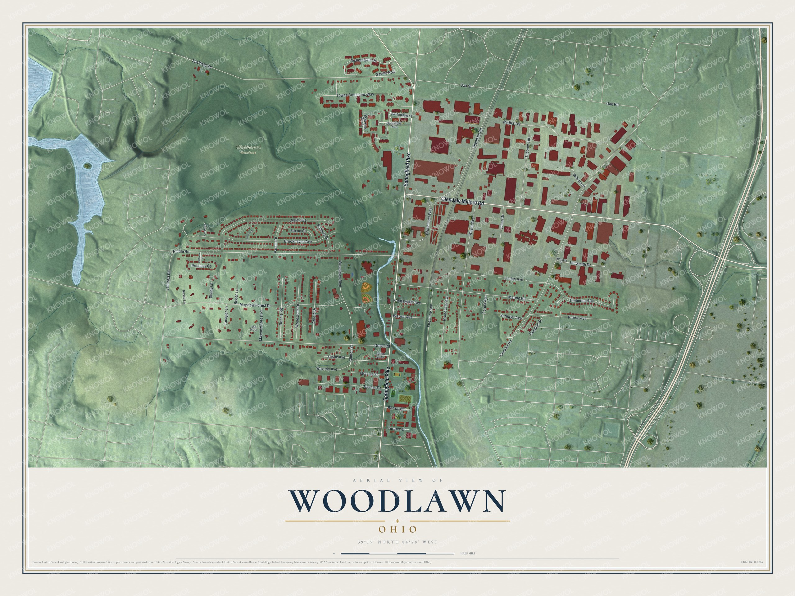
Created by KNOWOL in 2026, this print shows Woodlawn from above in soft greens. Shaded hills rise on the west side, a blue creek and lake catch the eye, and every building is a small red shape. The title panel reads "AERIAL VIEW OF WOODLAWN, OHIO" with "39°15' NORTH 84°28' WEST" below it.
It fits well in a front hall, a home office or a family room. It's a good gift for someone who grew up near Glenwood Gardens, or who worked on Glendale Milford Road and has since moved away. Open the preview and find the streets you know. See sizes and frames for the Woodlawn map.