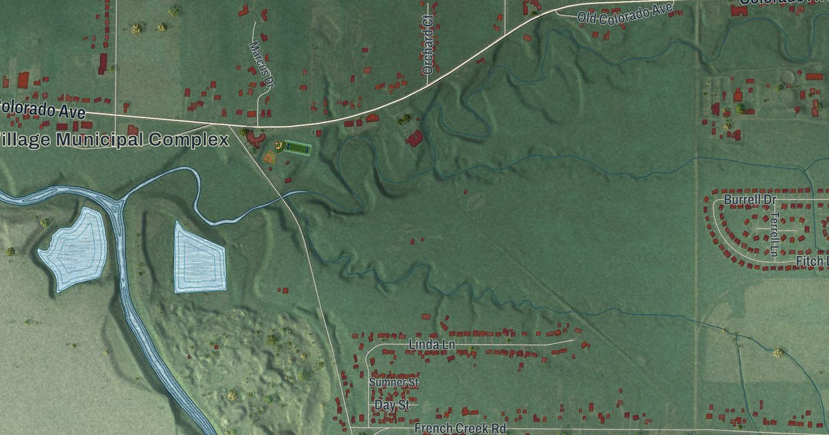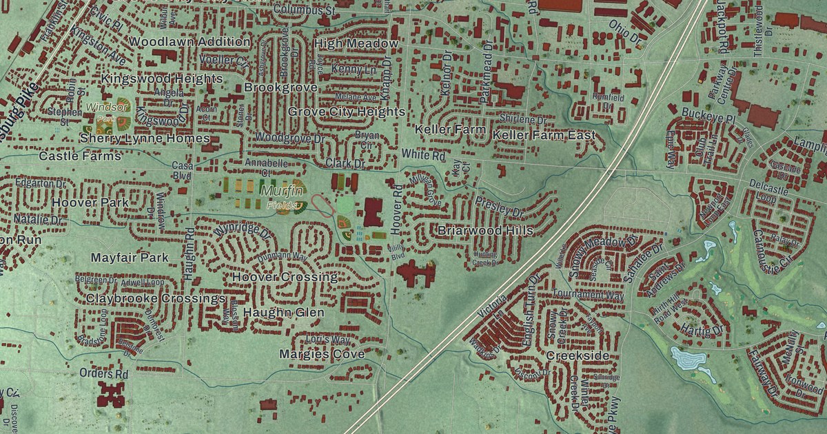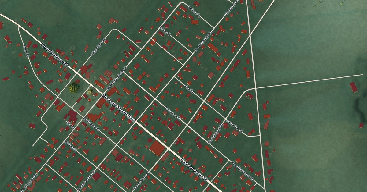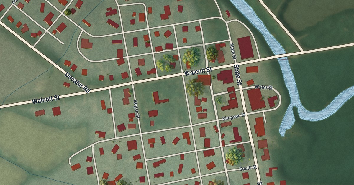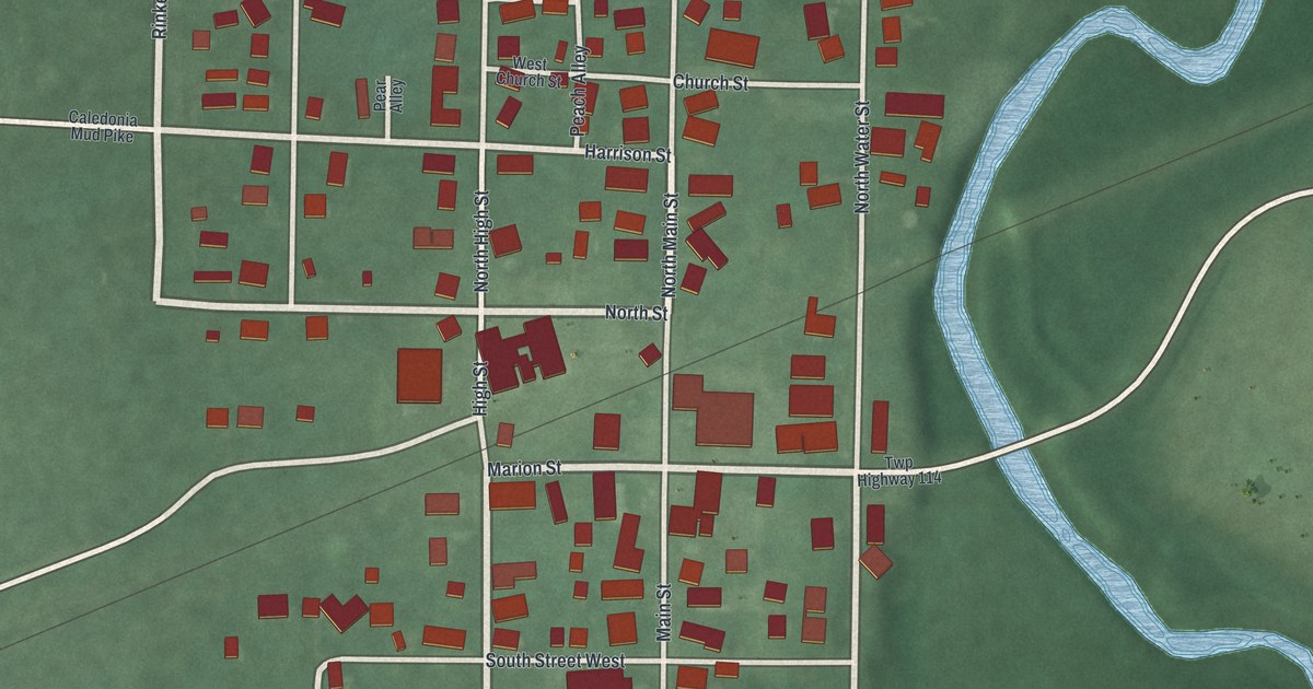
If you grew up on Main Street in Caledonia, or your family still lives in the village, this map will feel like home. It's a modern aerial view of Caledonia in Marion County, Ohio, made from modern data and given a vintage look. It shows the whole village, from Anselment Park at the top left down past Harding Highway East. Nearly 500 buildings are drawn in red. A blue river winds down the right side, with green fields all around.
Main Street, Marion Street and Anselment Park
On this map you'll find Main Street, Marion Street, East Liberty Street, West Liberty Street, Church Street, North High Street, South Water Street, Harding Highway East, Caledonia-Northern Road, Cemetery Street, Apple Alley, Peach Alley, Anselment Park, and more. Each red shape is a building, so zoom in on the preview and look for yours.
Warren G. Harding's boyhood home on South Main Street
Caledonia can say something few small villages can. A future president grew up here. Warren G. Harding lived in Caledonia as a boy, from 1872 to 1881. He later became the 29th president of the United States. His father, Dr. George Tryon Harding, owned a printing shop in the village. That's where young Warren learned the basics of the printing trade. The Ohio historical marker says that work sparked his interest in a career in newspapers. The marker stands at 139 South Main Street, on the corner at South Street. South Main Street is printed on the map, so you can find the blocks where he grew up.
Caledonia in Henry Howe's 1891 book
In 1891, Henry Howe wrote about Caledonia in his Historical Collections of Ohio. He placed it nine miles northeast of Marion, on two railroads. The village had its own newspaper, the Argus. It had three churches and a bank, the Caledonia Deposit. In 1880, 627 people lived here. A thin rail line still crosses the village on the map. The Temple and Masonic Block Buildings on East Marion Street joined the National Register in 2021.
Keep Caledonia's Main Street close
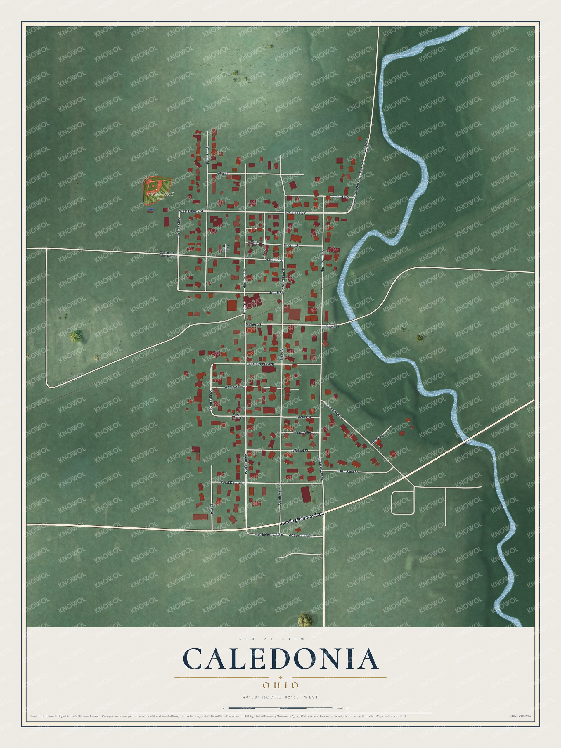
Created by KNOWOL in 2026, the print shows Caledonia from above in soft greens, with red buildings, cream streets and a winding blue river. The title panel reads Aerial View of Caledonia, Ohio, with the coordinates 40°38' North 82°58' West.
It fits well in a living room, a kitchen or a home office. It's a kind gift for someone who grew up near Anselment Park and later moved away, or for a family with roots on Main Street. Open the preview and look for your street. See sizes and frames for the Caledonia map.