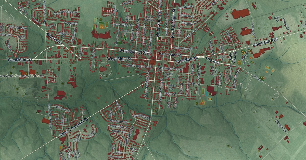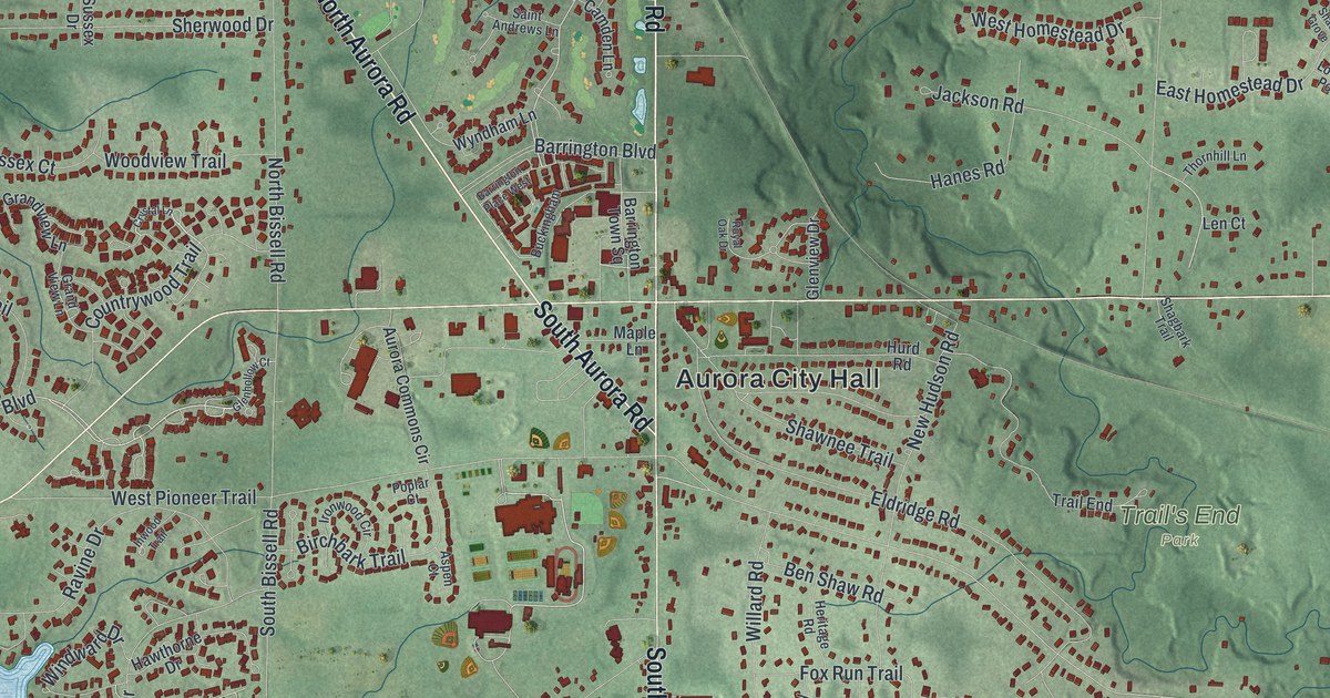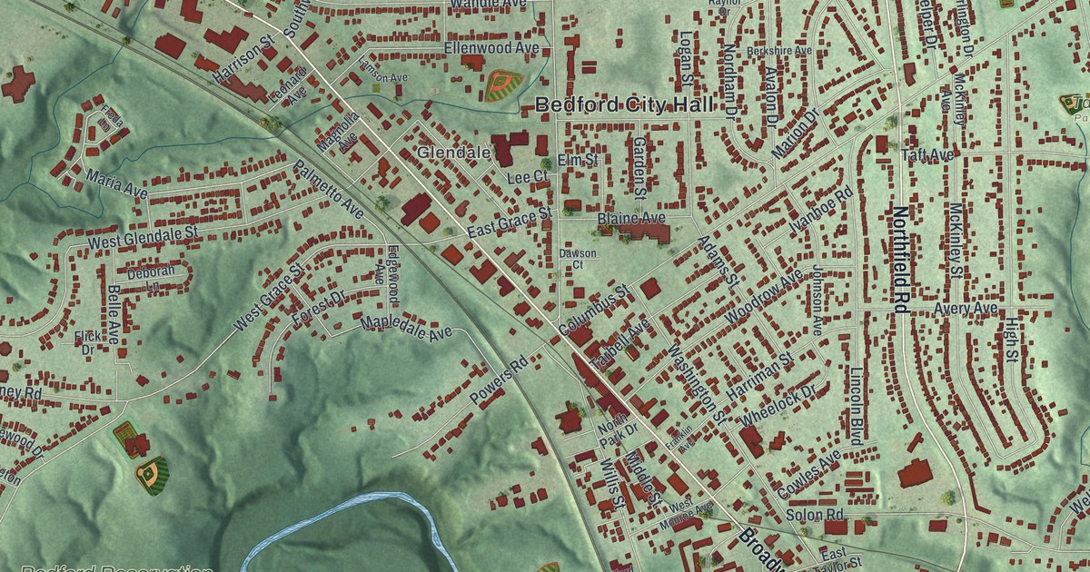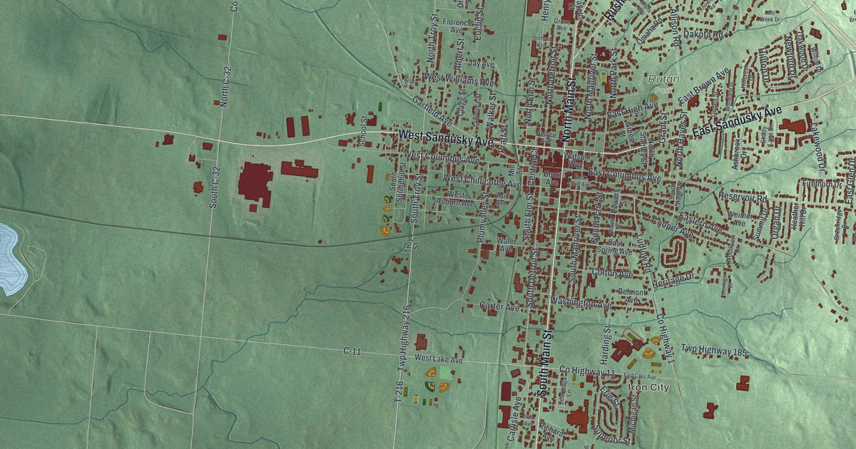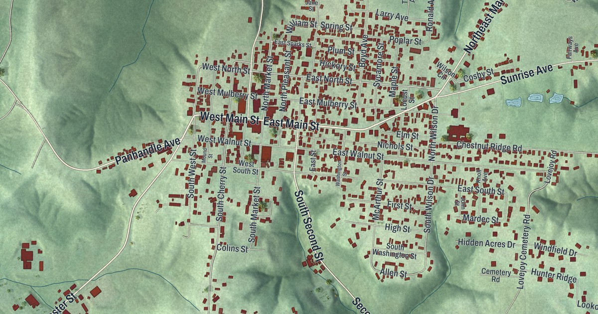
If you grew up in West Union, went to school here, or still drive Main Street past the courthouse square, this map has your town on it. It's a modern aerial view of the village of West Union in Adams County, Ohio, made from modern data and given a vintage artistic feel. Main Street crosses the middle of the sheet, and more than 2,500 buildings are drawn in deep red. Green hills fold in on every side, and a long blue lake sits near the top right corner.
From West Main Street to Manchester Street and Sunrise Avenue
On this map you'll find West Main Street, East Main Street, North Cross Street, South Second Street, North Market Street, Manchester Street, Panhandle Avenue, Sunrise Avenue, Northeast Main Street, Chestnut Ridge Road, Lovejoy Cemetery Road, Rice Drive, Owens Road, and more. Each red shape is a building, so zoom in on the preview and look for yours.
Why the church on South Second Street is called the Church of the Governors
The First Presbyterian Church of West Union was built in 1810 at 110 South Second Street. It's known as the "Church of the Governors," and its Ohio historical marker explains why. The congregation started around 1800 on Thomas Kirker's land on Eagle Creek, about three miles from town. Kirker was Ohio's second governor. He helped get the church going and raised money to build it. The stone walls went up under a stonemason named Thomas Metcalfe. He later served as governor of Kentucky, from 1828 to 1832. He was paid 250 dollars for the walls, and the whole church cost 500.
The church's first three regular ministers were all strongly against slavery. In 1861, soldiers of the 70th Ohio Volunteer Infantry were said to have stayed in the church before they left West Union for the war. They trained at Camp Hamer, on the old fairgrounds at West South Street and South West Street, until Christmas Day. On the map, find the spot where South Second Street leaves Main Street. The church stands in the first block south of Main.
Green hills, red buildings and the coordinates on the West Union map
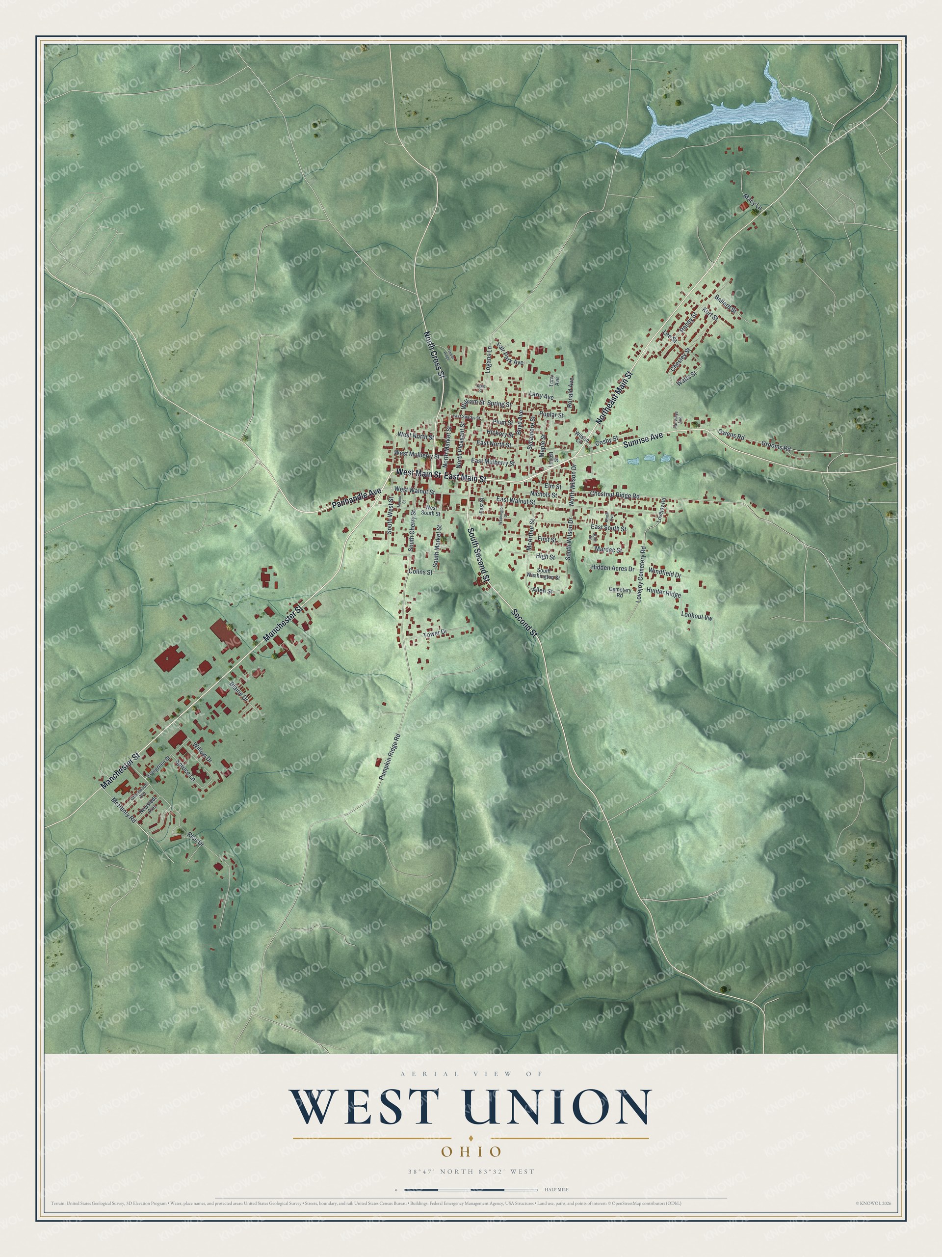
Created by KNOWOL in 2026, this West Union map shows the hills in soft shaded green, with the buildings in deep red and the creeks traced in thin blue lines. The hill shading comes from USGS elevation data. The title panel reads "Aerial View of West Union, Ohio" with the coordinates 38°47' North, 83°32' West and a half-mile scale bar.
It fits a living room, a den or an office wall. It's a thoughtful gift for someone who grew up near the courthouse square, went to church on South Second Street, or moved away from Adams County. Open the preview, zoom in and find the street you know. See sizes and frames for the West Union map.