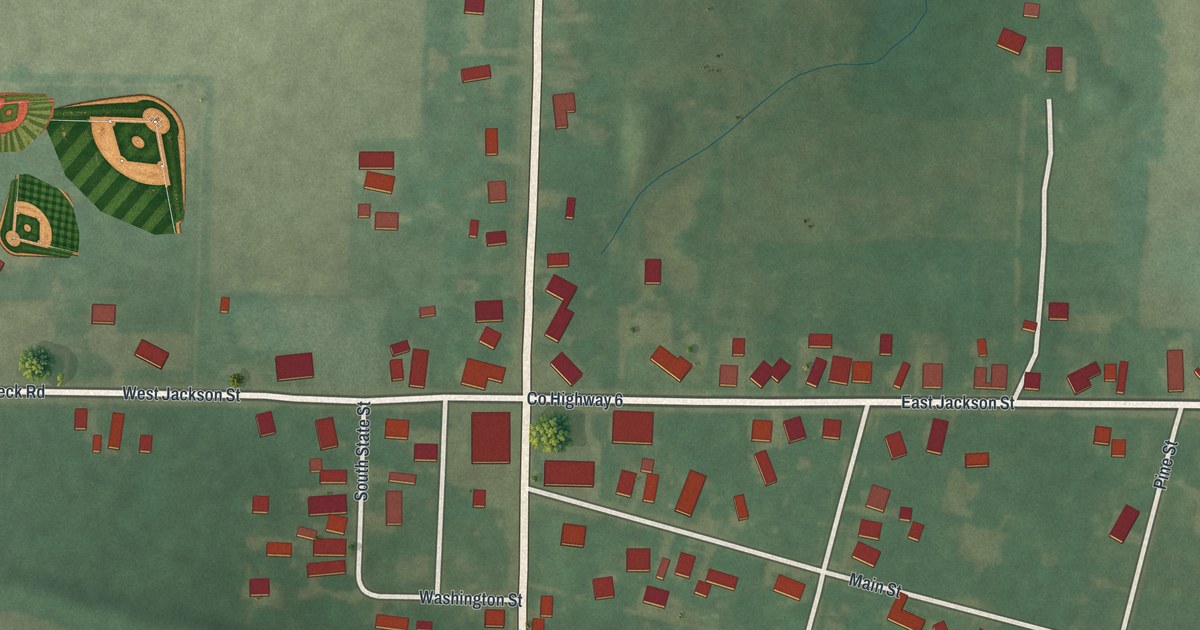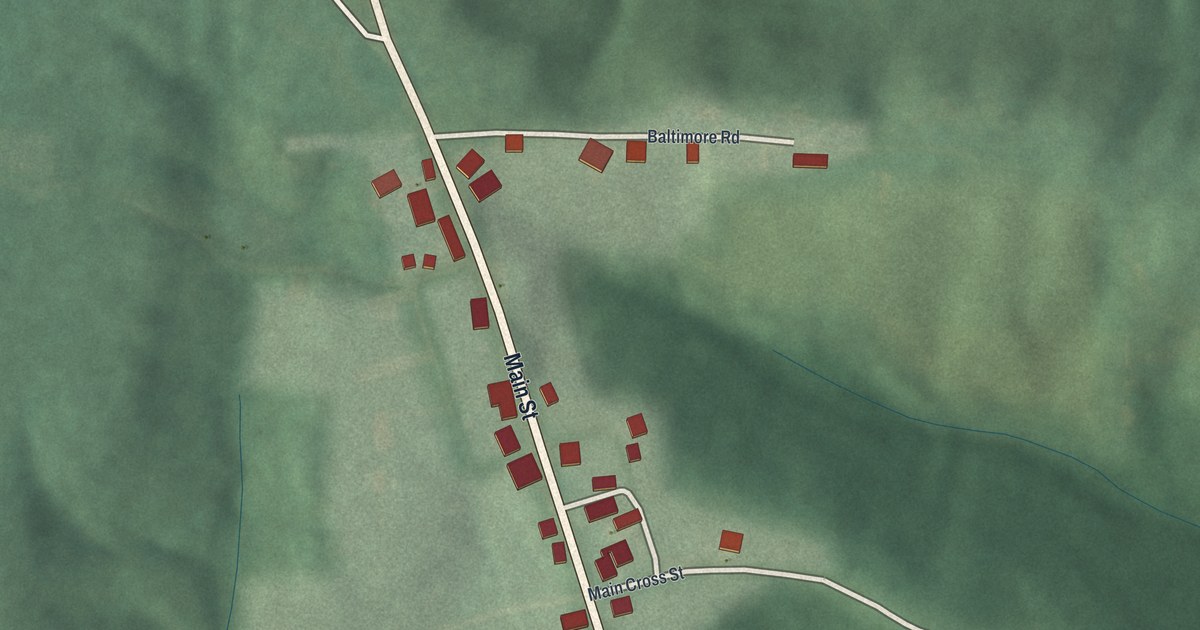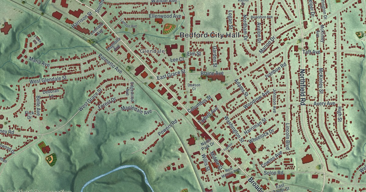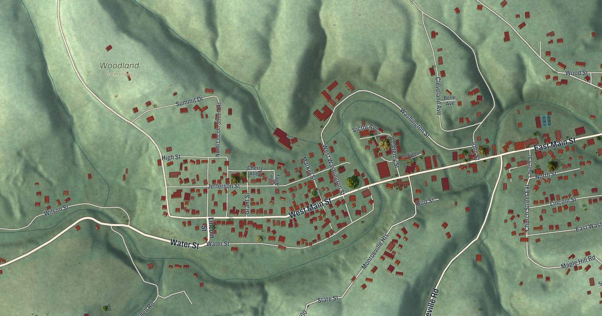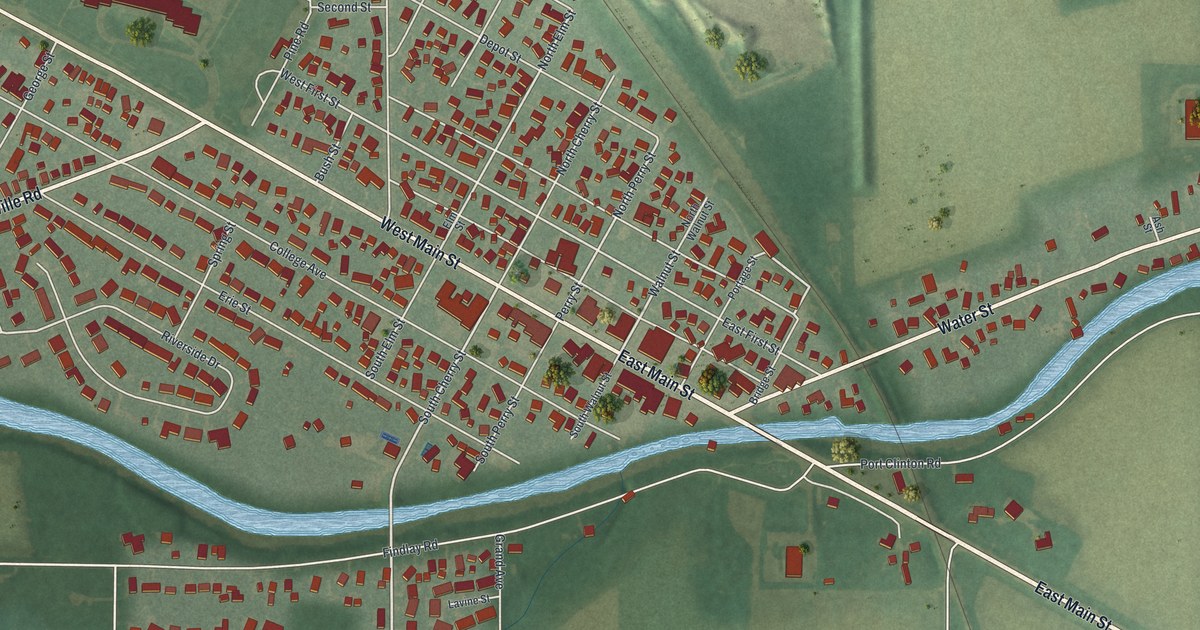
If you grew up in Woodville, look for your old block on this print. It's a modern aerial view of Woodville in Sandusky County, Ohio, built from terrain, water, road, and building data, with a vintage feel. Red buildings fill the town's blocks, with green fields around them. A blue river curves past the streets.
Woodville's road through the Black Swamp
On this map you'll find East Main Street, West Main Street, Pemberville Road, Water Street, College Avenue, Erie Street, North Cherry Street, South Cherry Street, North Elm Street, West First Street, Lime Street, Depot Street, and more. Each red shape is a building, so zoom in on the preview and look for yours.
Woodville's road story starts with mud. The historical marker at 219 West Main Street tells how a path crossed the Black Swamp. It linked Woodville with Perrysburg and Lower Sandusky, now Fremont. Clearing a 120-foot-wide road through the swampy forest was finished within four years. By 1842, the road was stoned and the land beside it was drained.
That road became the Maumee and Western Reserve Turnpike. Travelers paid tolls to help keep it in shape. After 1888, it became a toll-free road. The marker identifies today's road as State Route 20. On the print, look for West Main Street, the marker's street address. Its red building shapes give you a close view of this part of town.
Keep Woodville's Main Street close
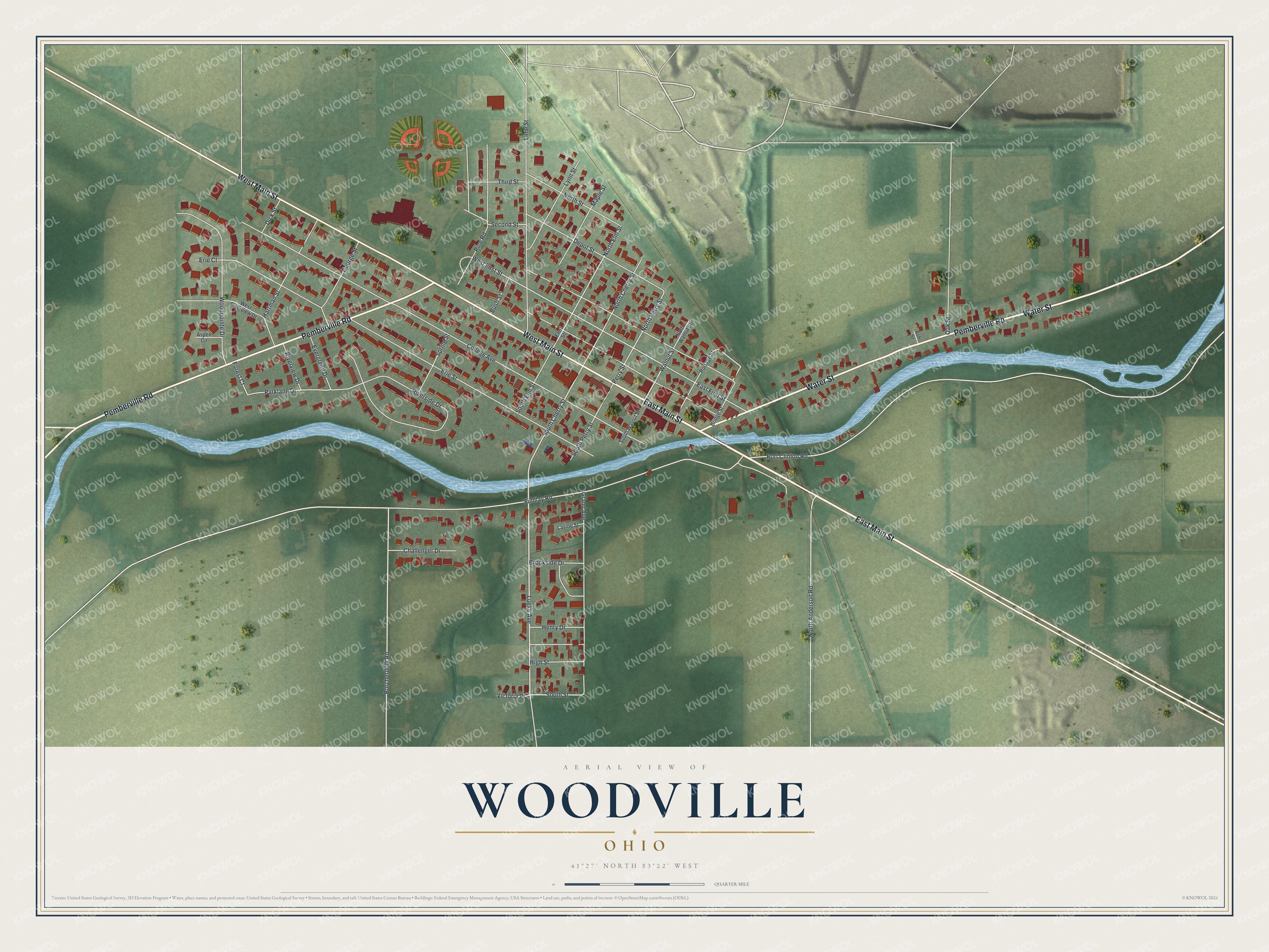
Created by KNOWOL in 2026, the print pairs green land with blue water, red buildings, and pale roads. A cream border surrounds the view. The title panel reads AERIAL VIEW OF, WOODVILLE, OHIO, with 41°27' NORTH 83°22' WEST below.
It suits a living room, home office, or entryway. It's a gift for someone who grew up near West Main Street and wants to keep home close. Open the preview to find a familiar block and read the street names. See sizes and frames for the Woodville map.