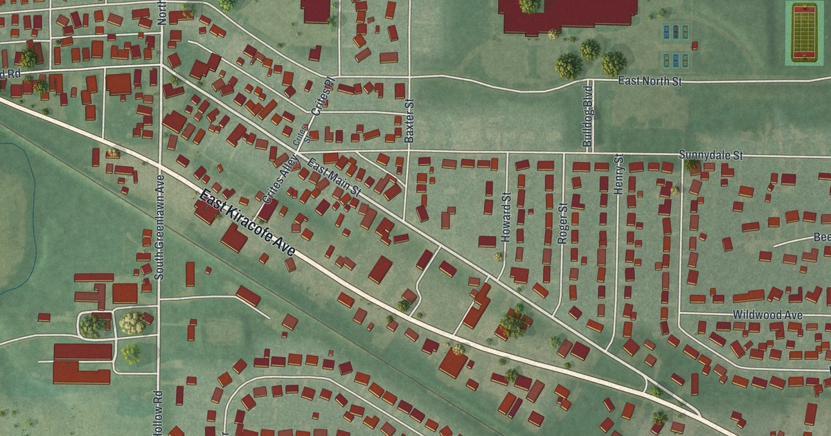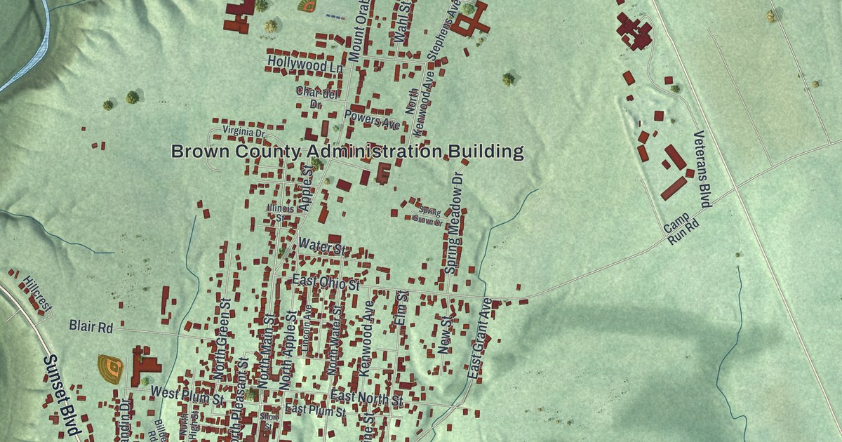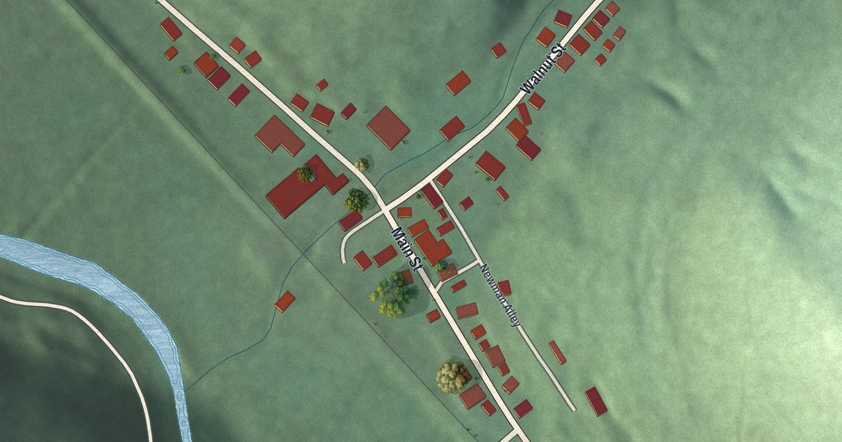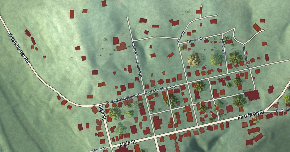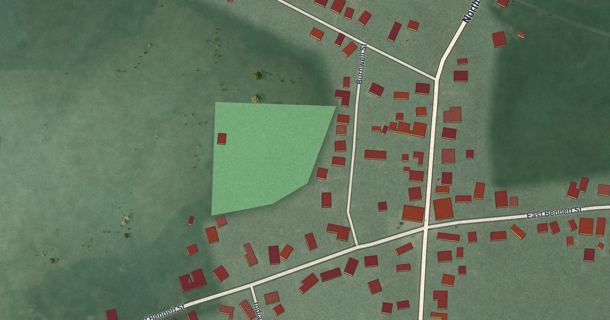
This beautifully detailed map of Woodstock, Ohio was created in 2026 using aerial imagery combined with modern topographical, census, street and landmark data. It’s a one-of-a-kind view of Woodstock that combines accurate data with a vintage aesthetic. The map shows every building in its true location, many of the roads carry their names, and the shaded topographic relief shows the shape of the land.
Explore an aerial view of Woodstock, Ohio
On the map you’ll find North Main Street, South Main Street, West Bennett Street, Urbana Woodstock Road, East Bennett Street, County Highway 2, Flynn Street, Indianapolis Street, Burnwell Street, Urbana Woodstock Pike, and more. If you look closely you can even find your house accurately drawn in its correct location. Zoom in on the preview to look for yours.
Did you know this piece of Woodstock, Ohio history?
Sylvanus Smith and Phoebe Smith laid out the village in twenty-five lots. They first named it Hartford. Ohio already had a post office called Hartford, so they changed the name to Woodstock to match the new post office. Phoebe Smith’s house stood on Lot 24 and counted as the first house in town. That’s from the 1881 History of Champaign County, Ohio.
Take a closer look at the Woodstock map
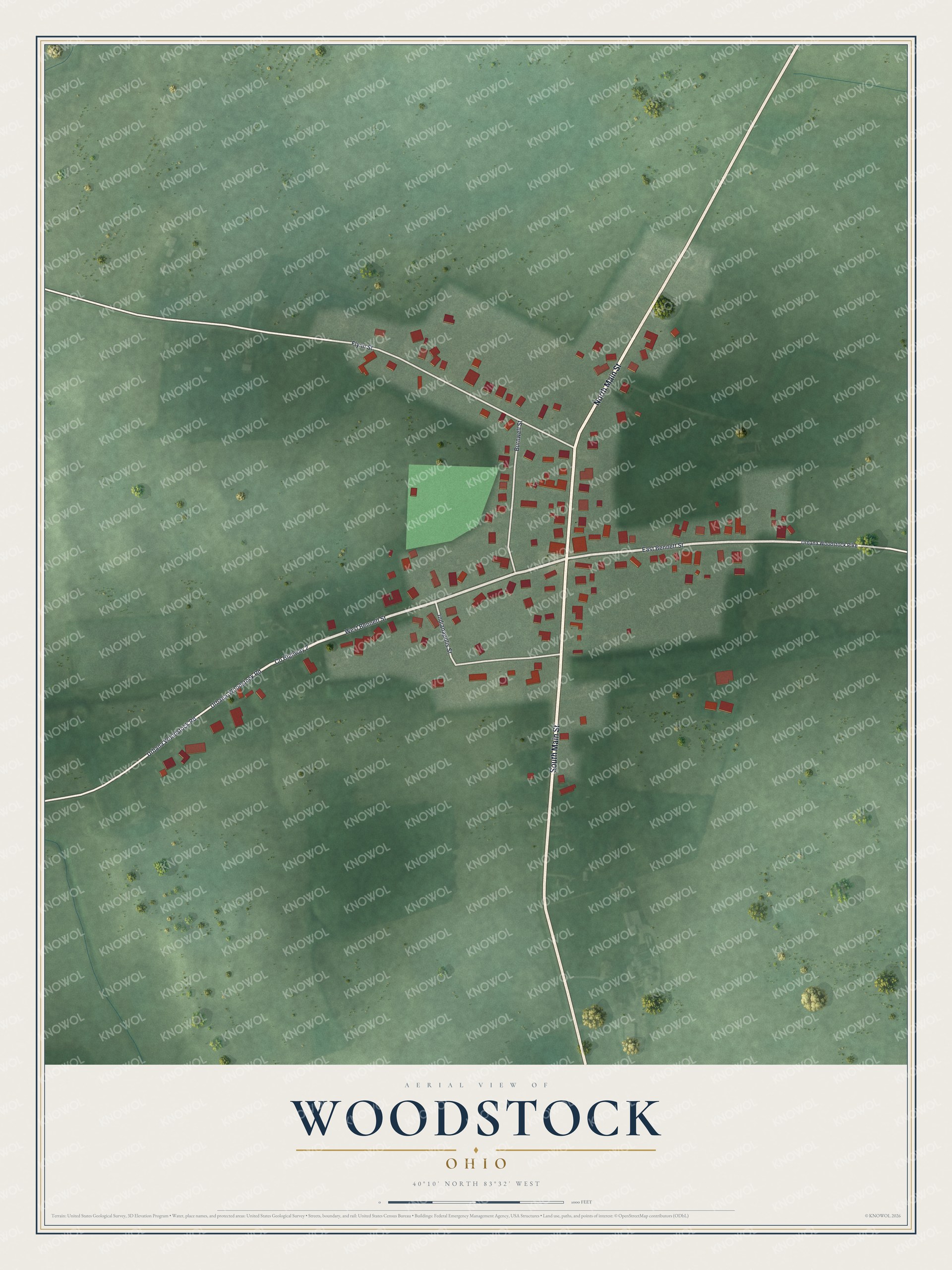
Street names on the Woodstock, Ohio map
These names are printed on the map of Woodstock, Ohio.
Streets and roads: North Main Street, South Main Street, West Bennett Street, Urbana Woodstock Road, East Bennett Street, Urbana-Woodstock Road, County Highway 2, Flynn Street, Indianapolis Street, Burnwell Street and Urbana Woodstock Pike.
See the Woodstock, Ohio map on a wall
The Woodstock map as an 18 x 24 inch print in a black frame.

This beautifully detailed map of Woodstock makes an attractive addition to your office, library, or den, and it can even be used to teach children the geography and history of the area. It also makes a great gift for someone who left Woodstock and still calls it home. When you’re done exploring, click here to get your copy of the Woodstock map.